

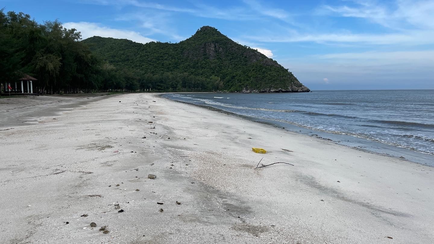
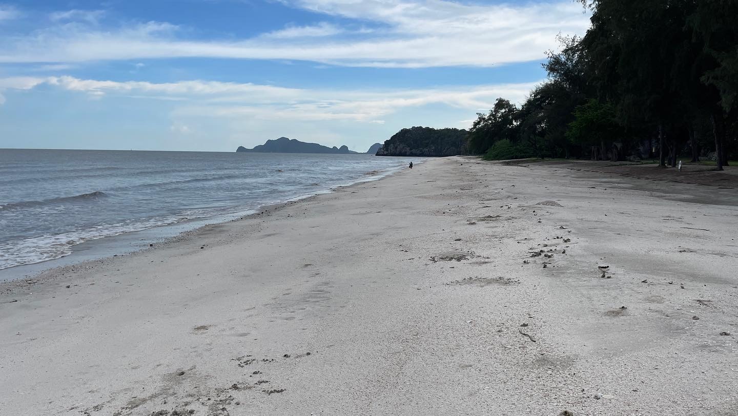
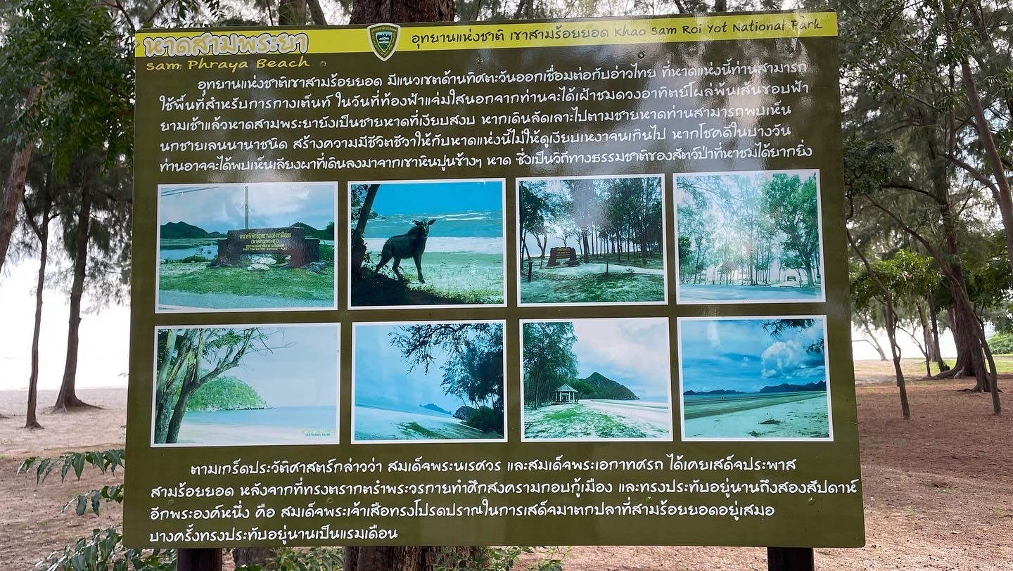
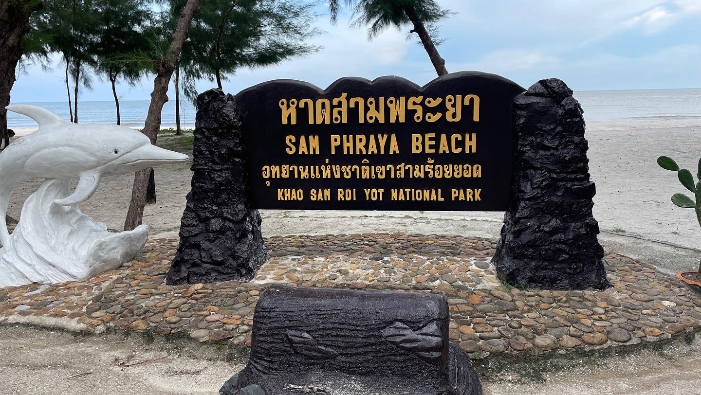
Sam Phraya beach on the east coast of Thailand gets its name from 3 of the Thai kings from the Ayutthaya area that visitors the beach, the most famous was king Naresuan. It’s part of the Sam Roi Yot National Park.
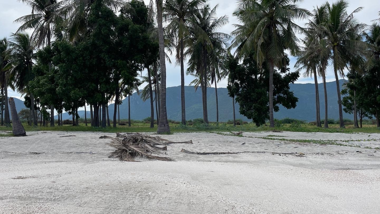
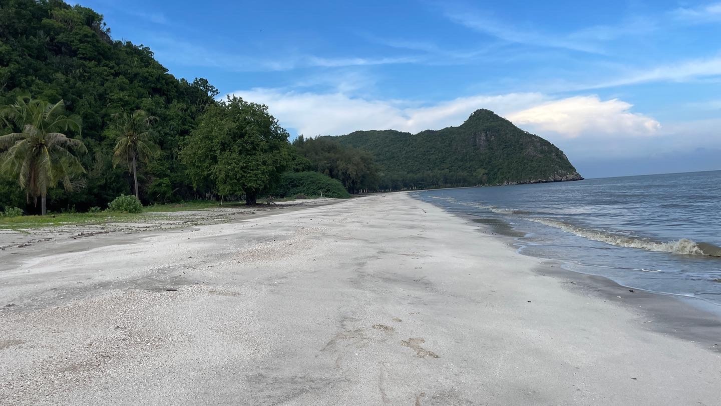
While the highlights of Sam Roi Yot are all found at least a few hundred metres inland, the area also has a handful of low-key beaches that are fine for an hour or two of lounging. At all of them, the water is not particularly clear and a very shallow approach means you'll need to wade for a while before swimming becomes possible.
Sam Phraya beach is a small and secluded stretch of sand with a small restaurant, coffeeshop and campground. Owing to a lack of outcrops, it tends to be windier, with slightly heavier surf than Phraya Nakhon and Laem Sala (though nothing that could be surfed). Sam Phraya is a fine spot for a picnic on the way down to Khao Daeng viewpoint, but otherwise not worth going out of the way for but worth a stop if you are exploring the area and are ...
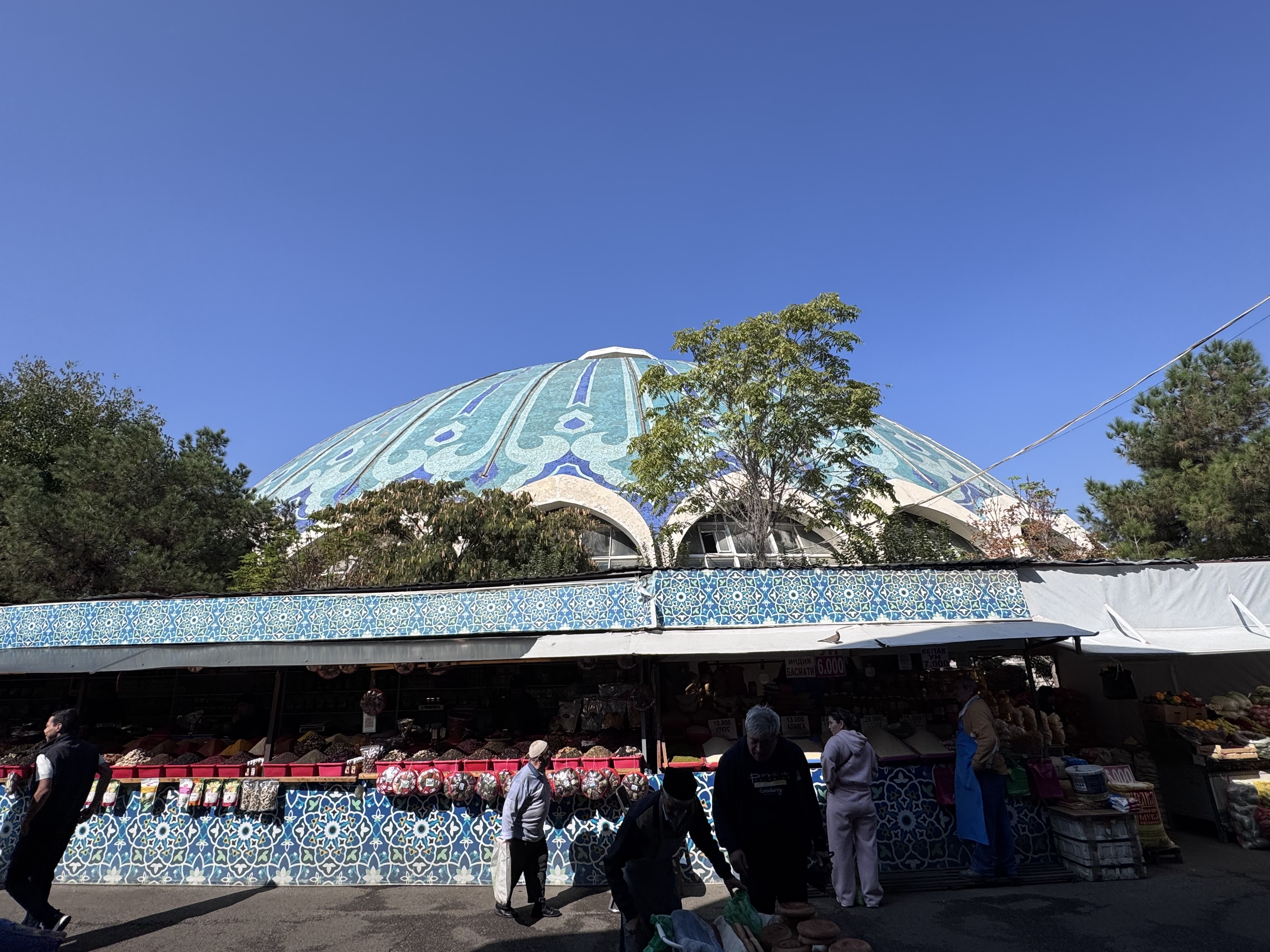
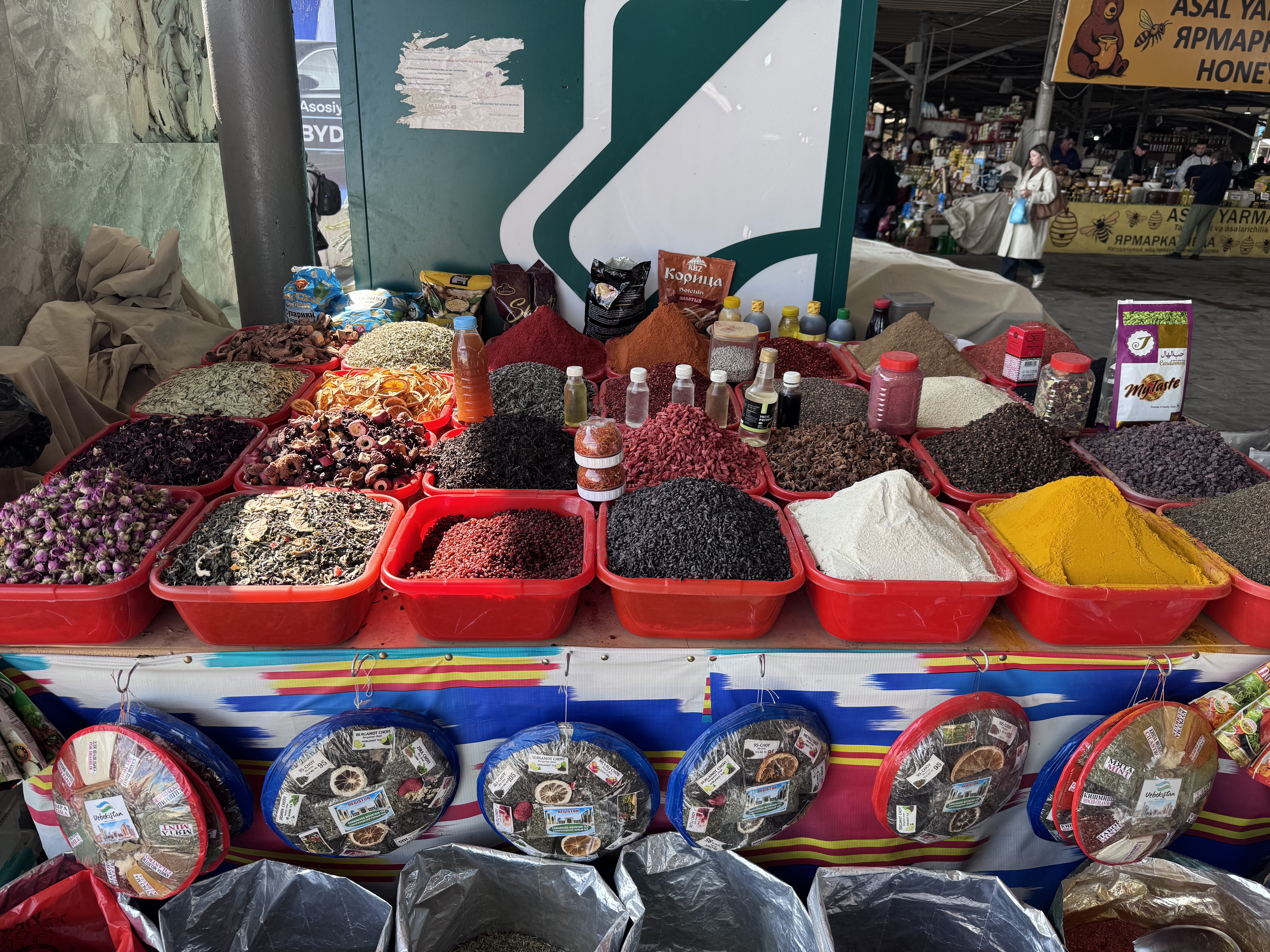
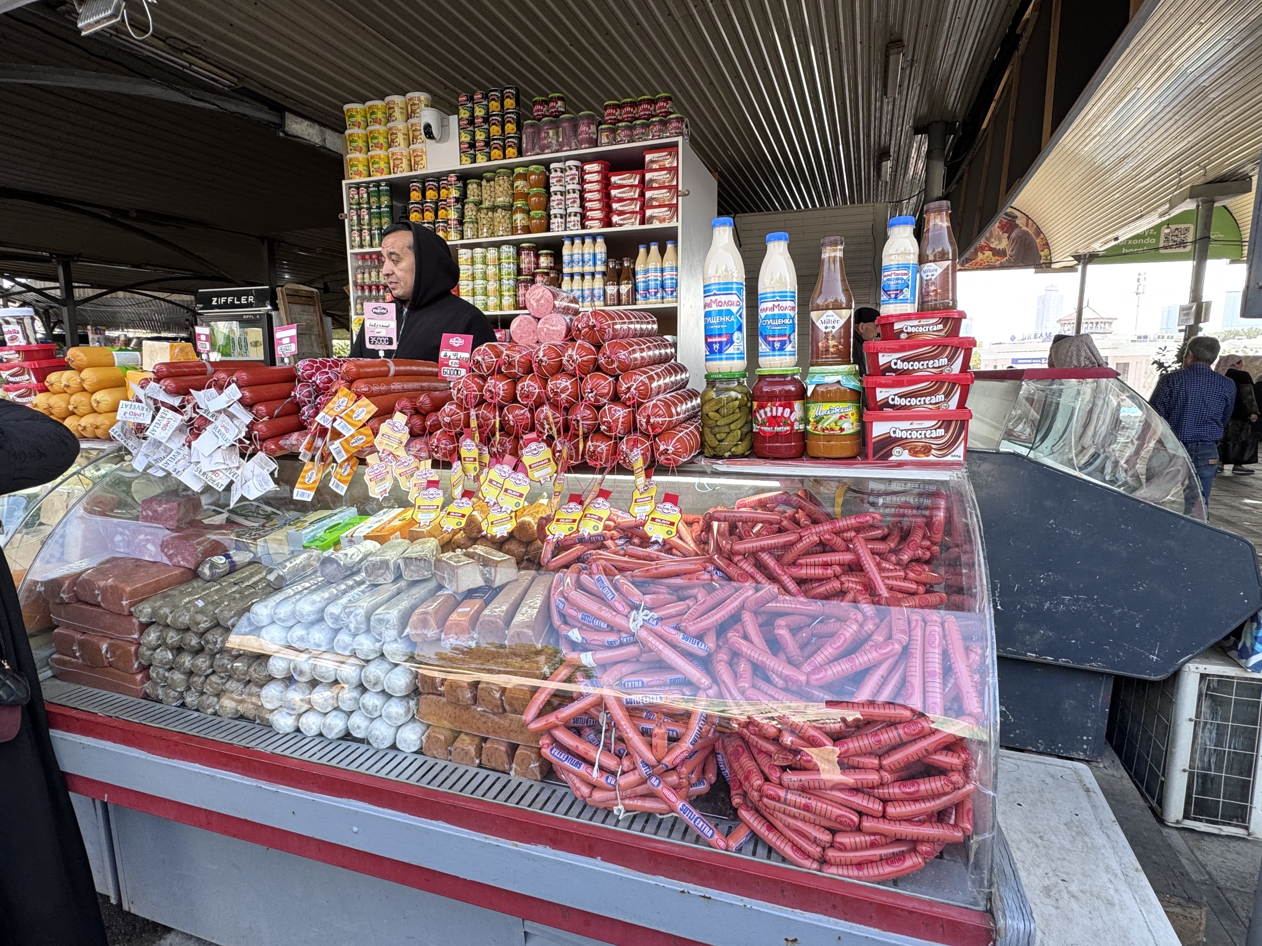
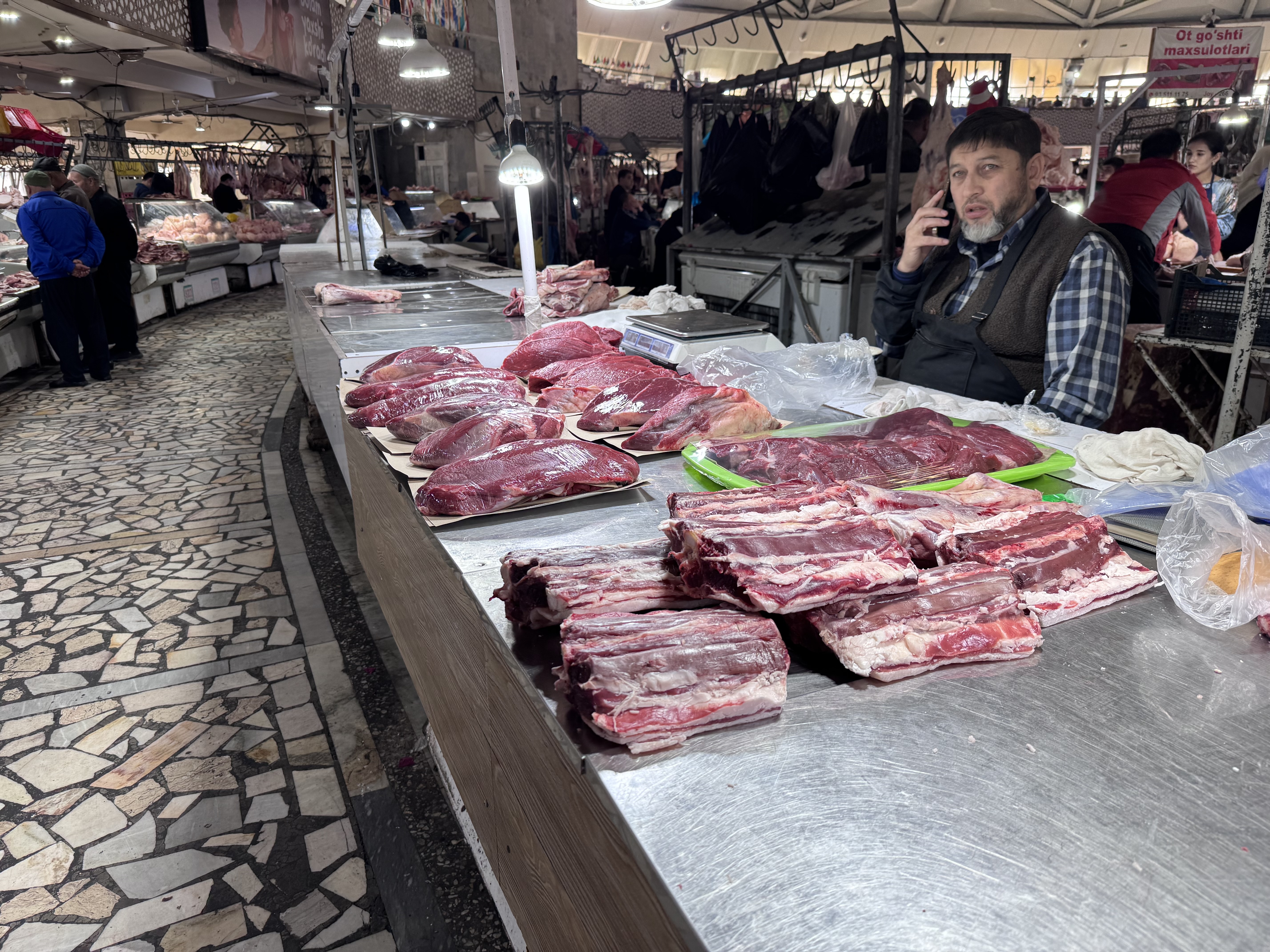
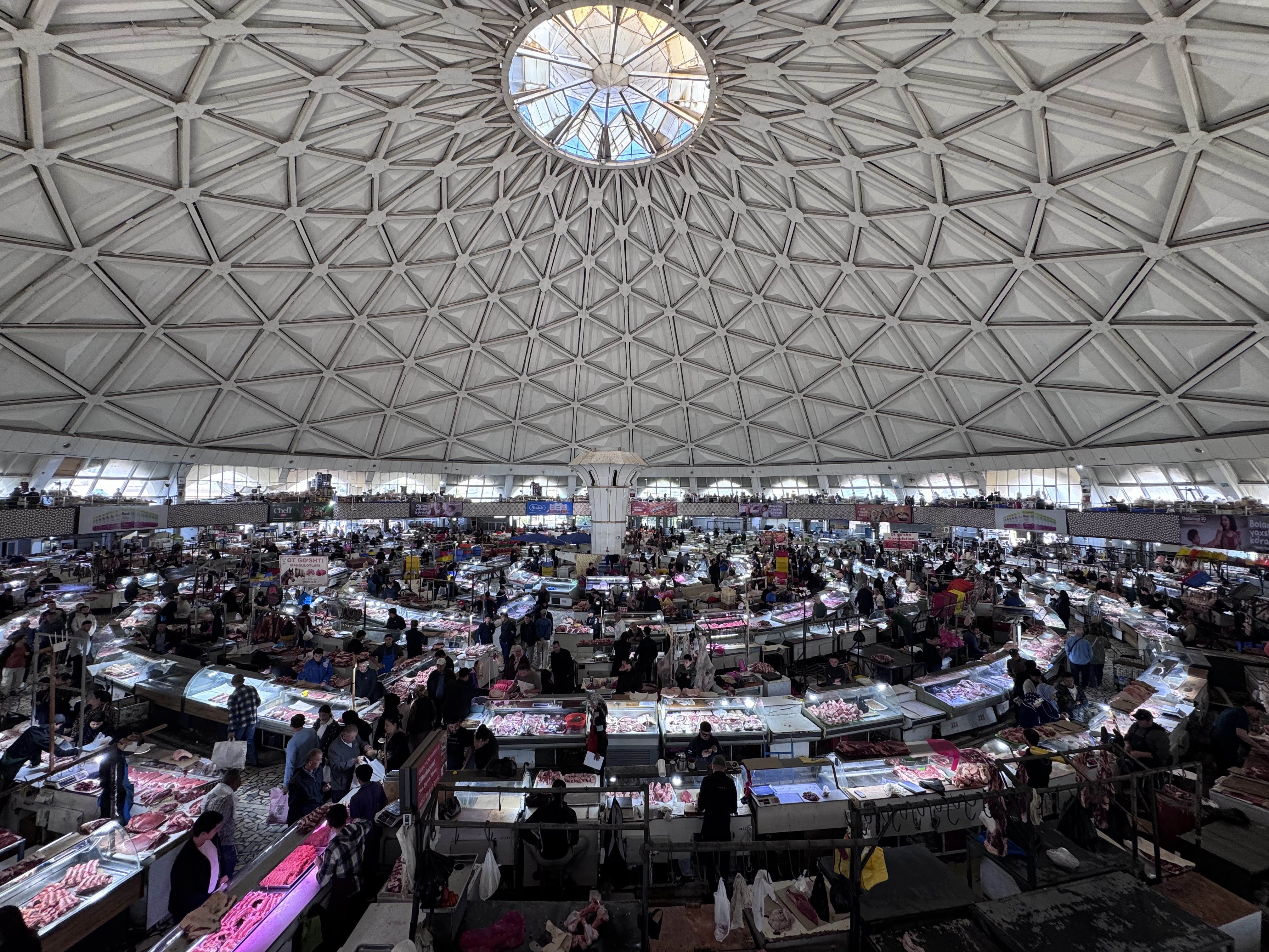
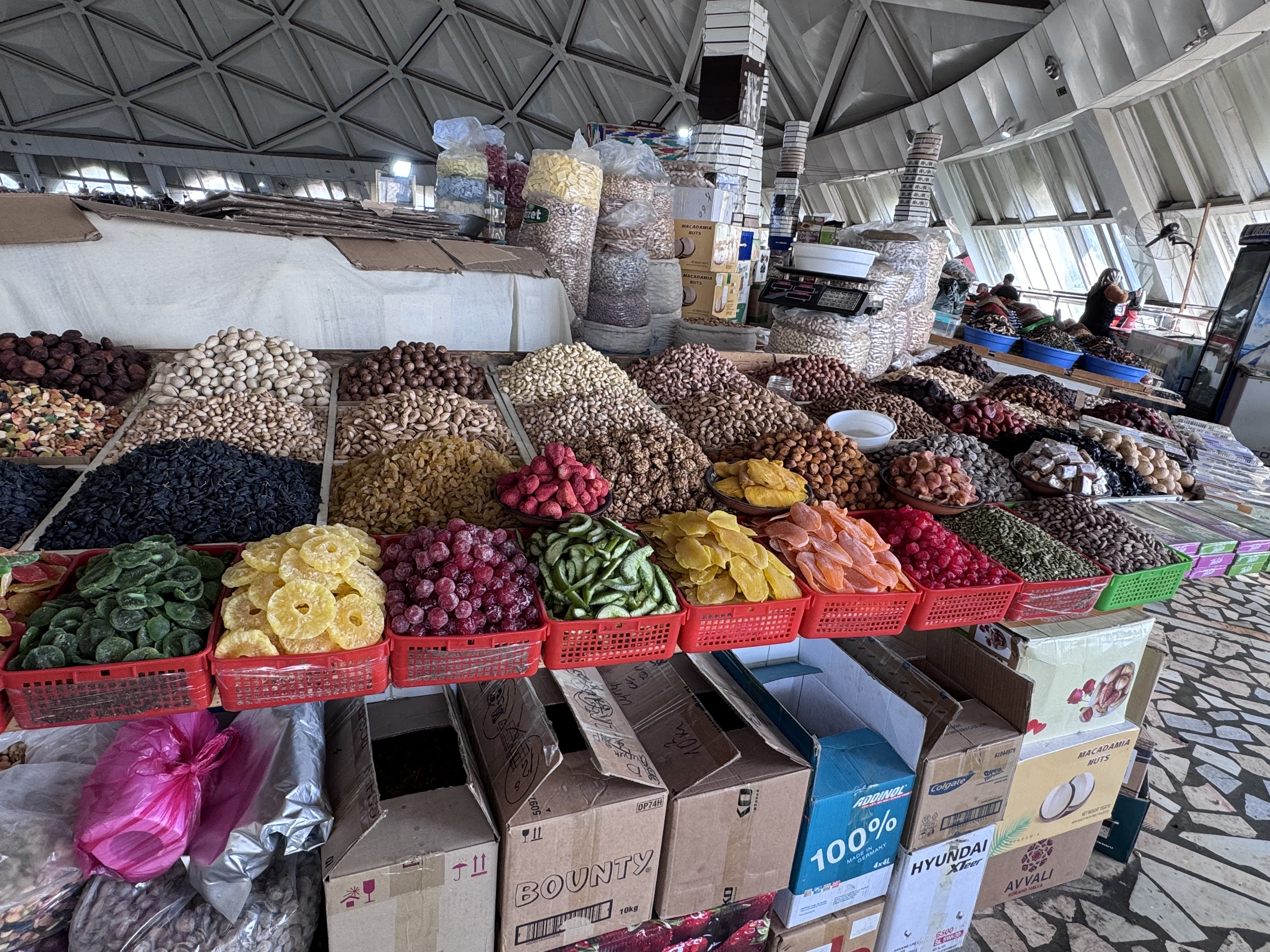
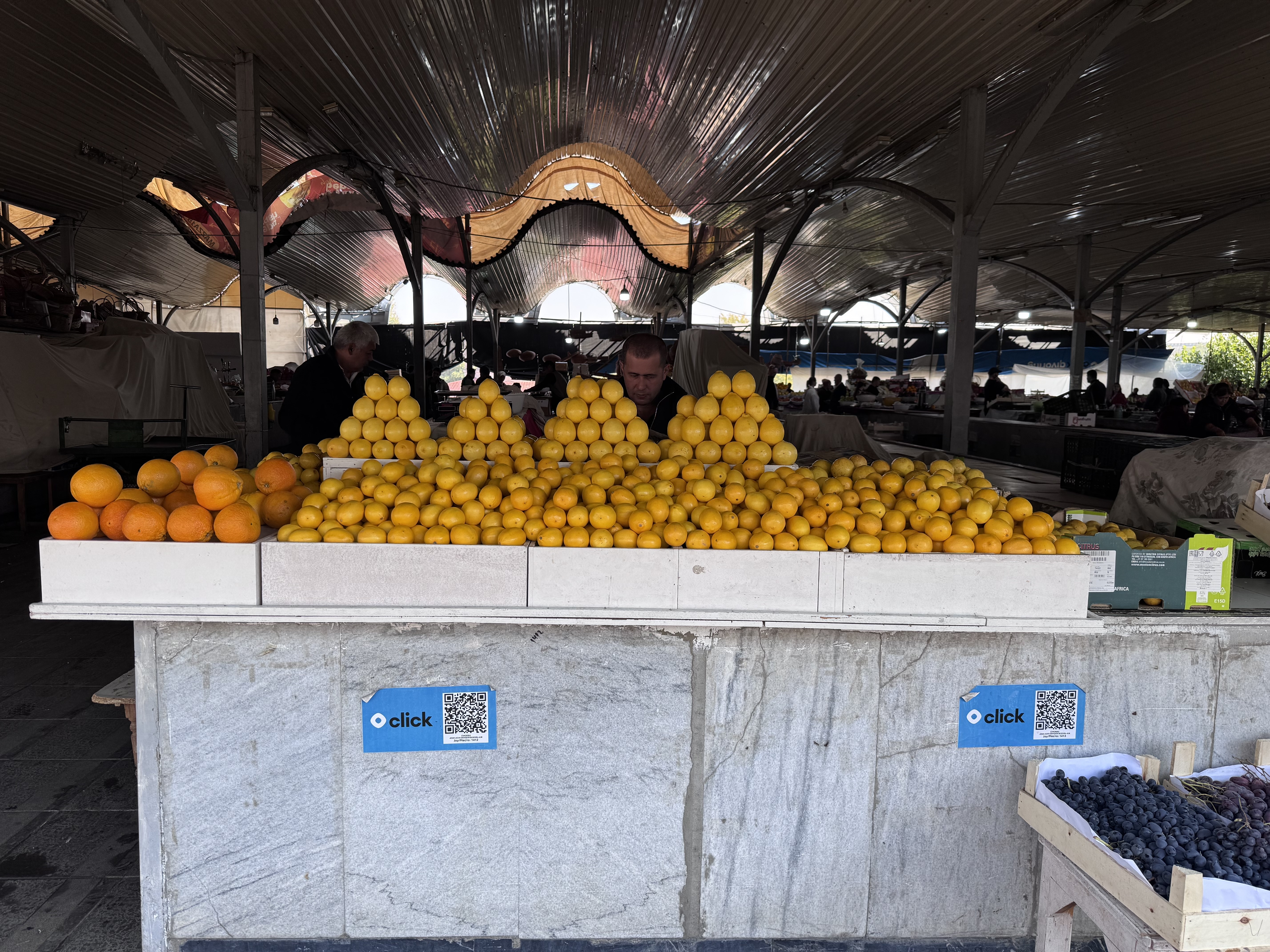
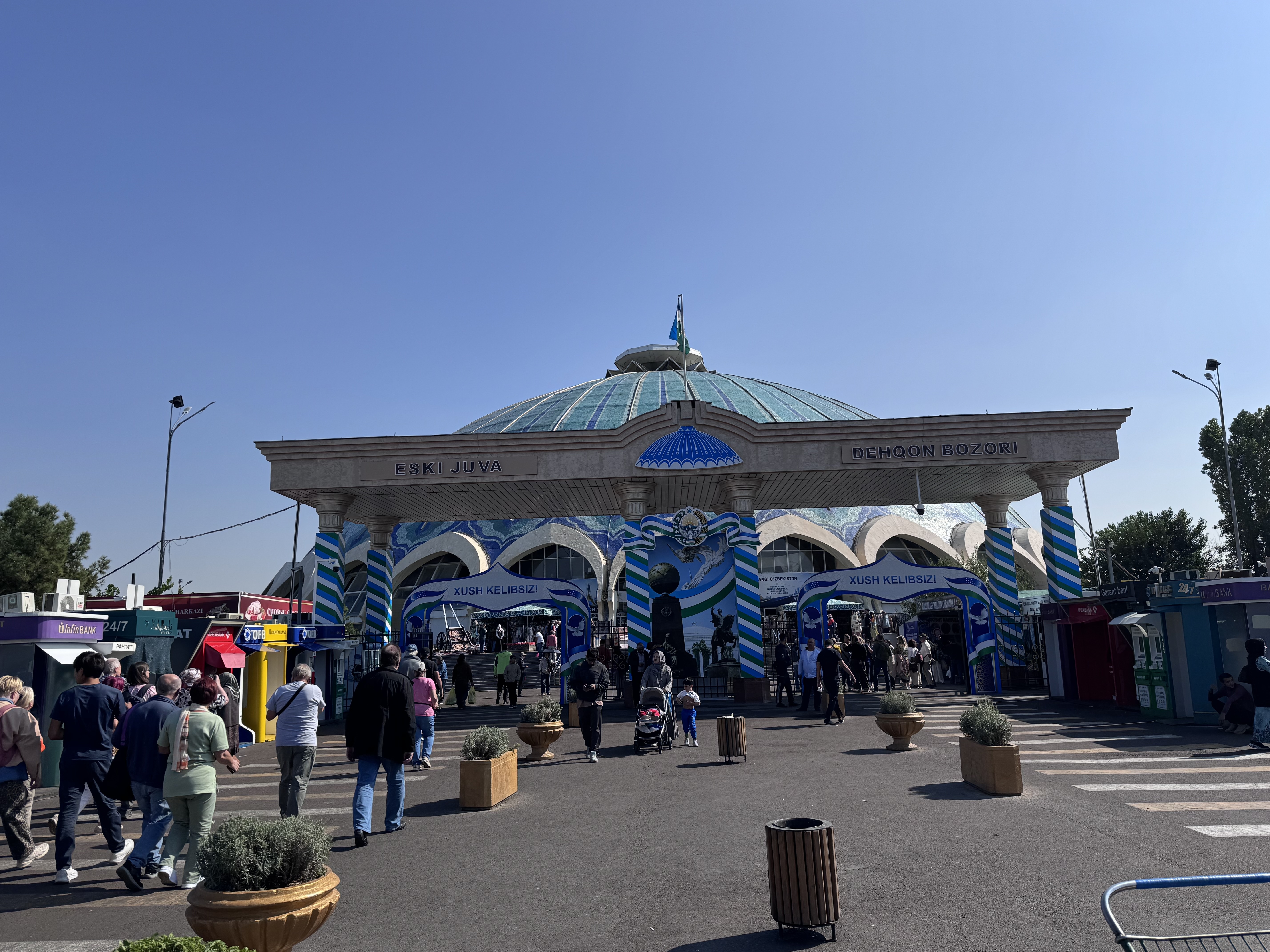
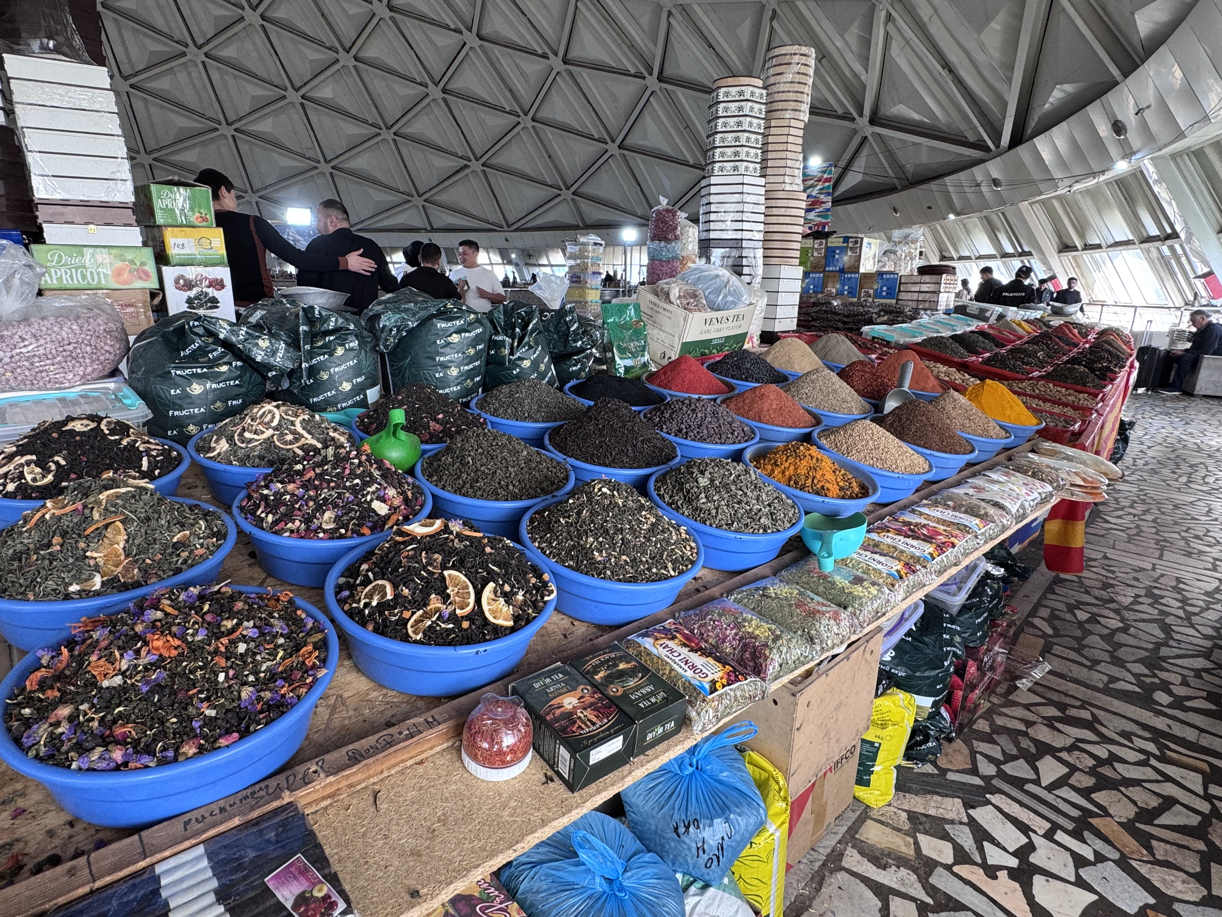
Chorsu Bazaar stands at the heart of Tashkent’s old city, a living marketplace whose name, drawn from Persian, evokes the crossroads and four streams that once guided Silk Road caravans through Central Asia.
For centuries this site has drawn merchants, artisans and travellers, its trading activity continuous since at least the medieval period and firmly established under the Timurids when Tashkent flourished as a vital stop between East and West. Domes were raised in the Shaybanid era to shield goods from sun and dust, and the bazaar remained the commercial and social core of the city’s four traditional quarters long after the Russian conquest divided Tashkent into old and new.
The devastating earthquake of 1966 levelled much of the earlier fabric, yet the market’s spirit endured. In 1980 architects Vladimir Azimov and Sabir Adylov completed the present complex, a late Soviet modernist landmark whose vast turquoise dome, nearly eighty metres across, rises above concentric trading floors and...
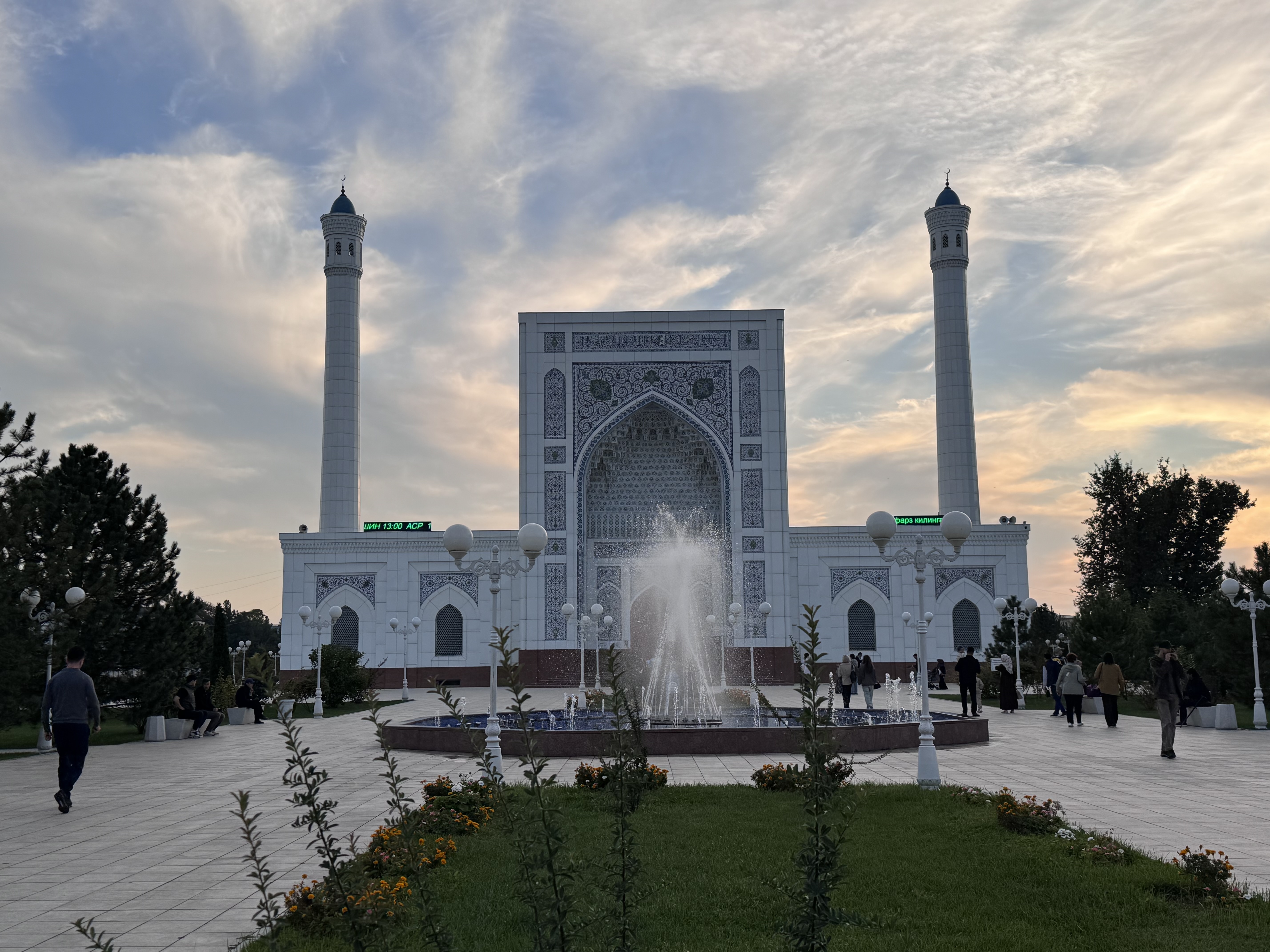
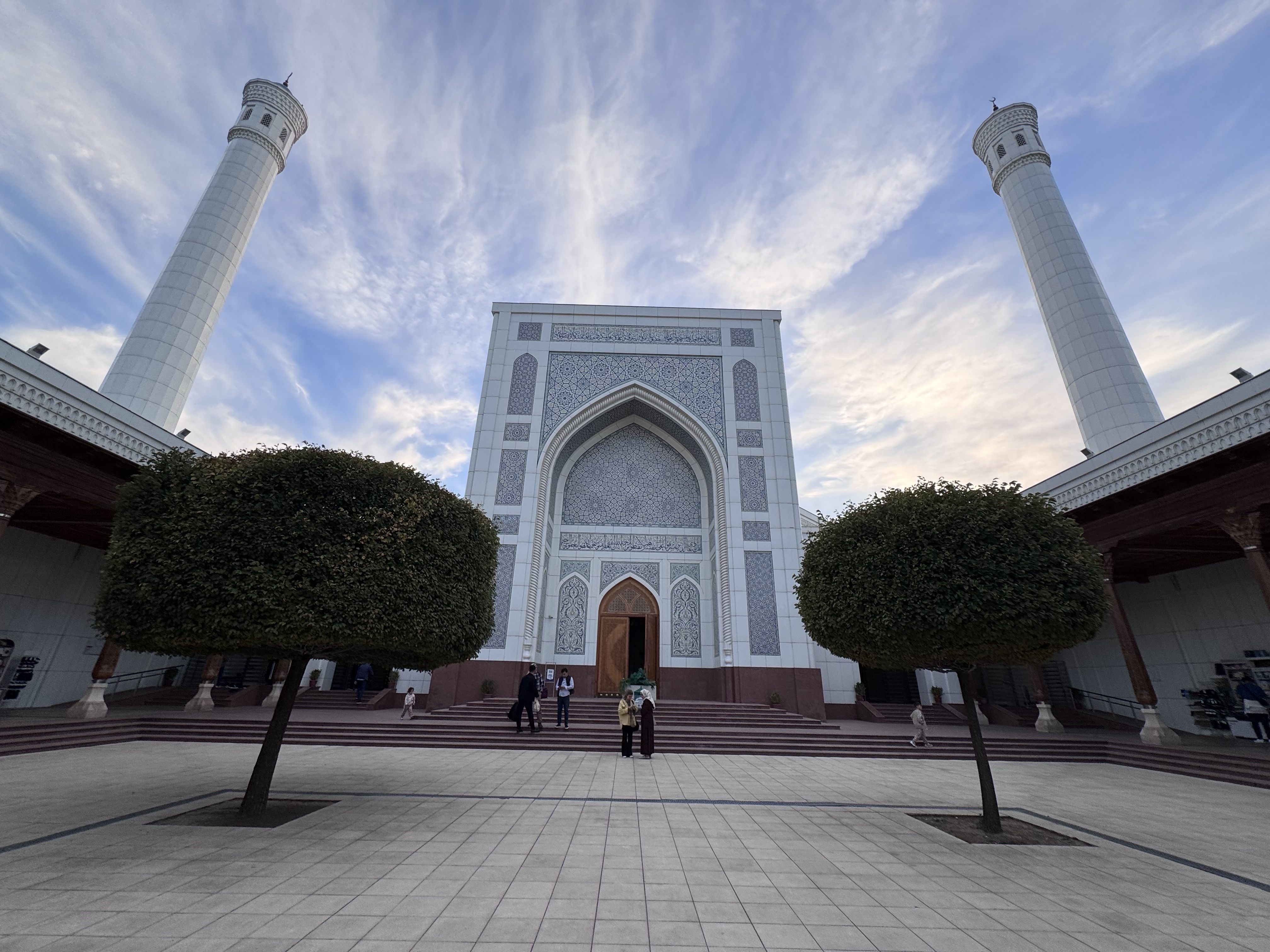
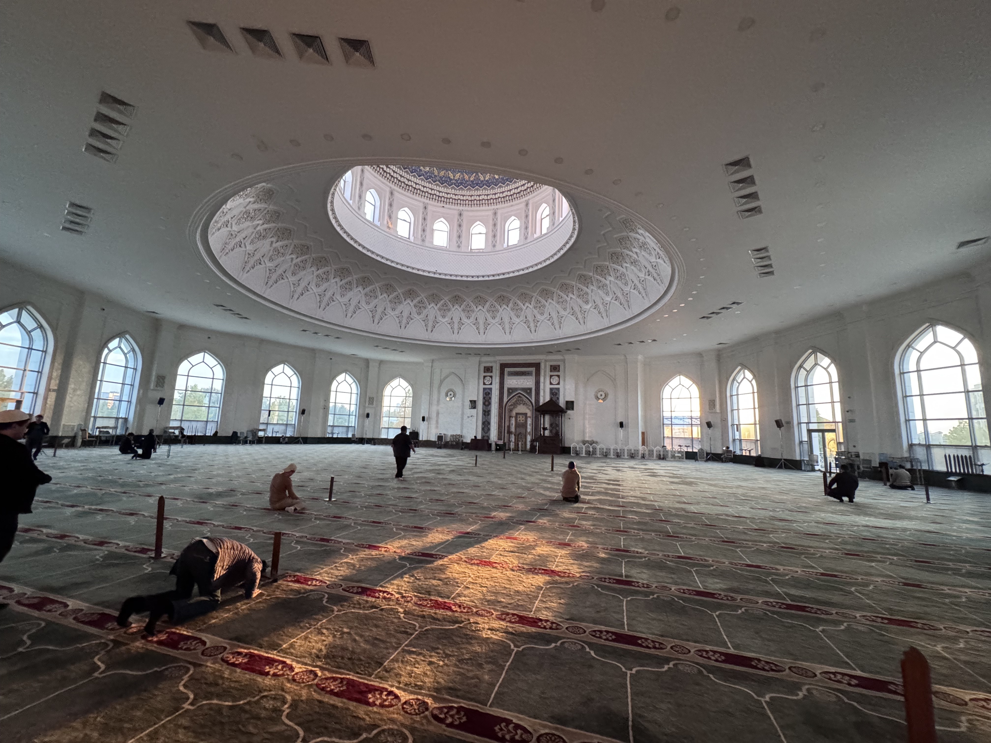
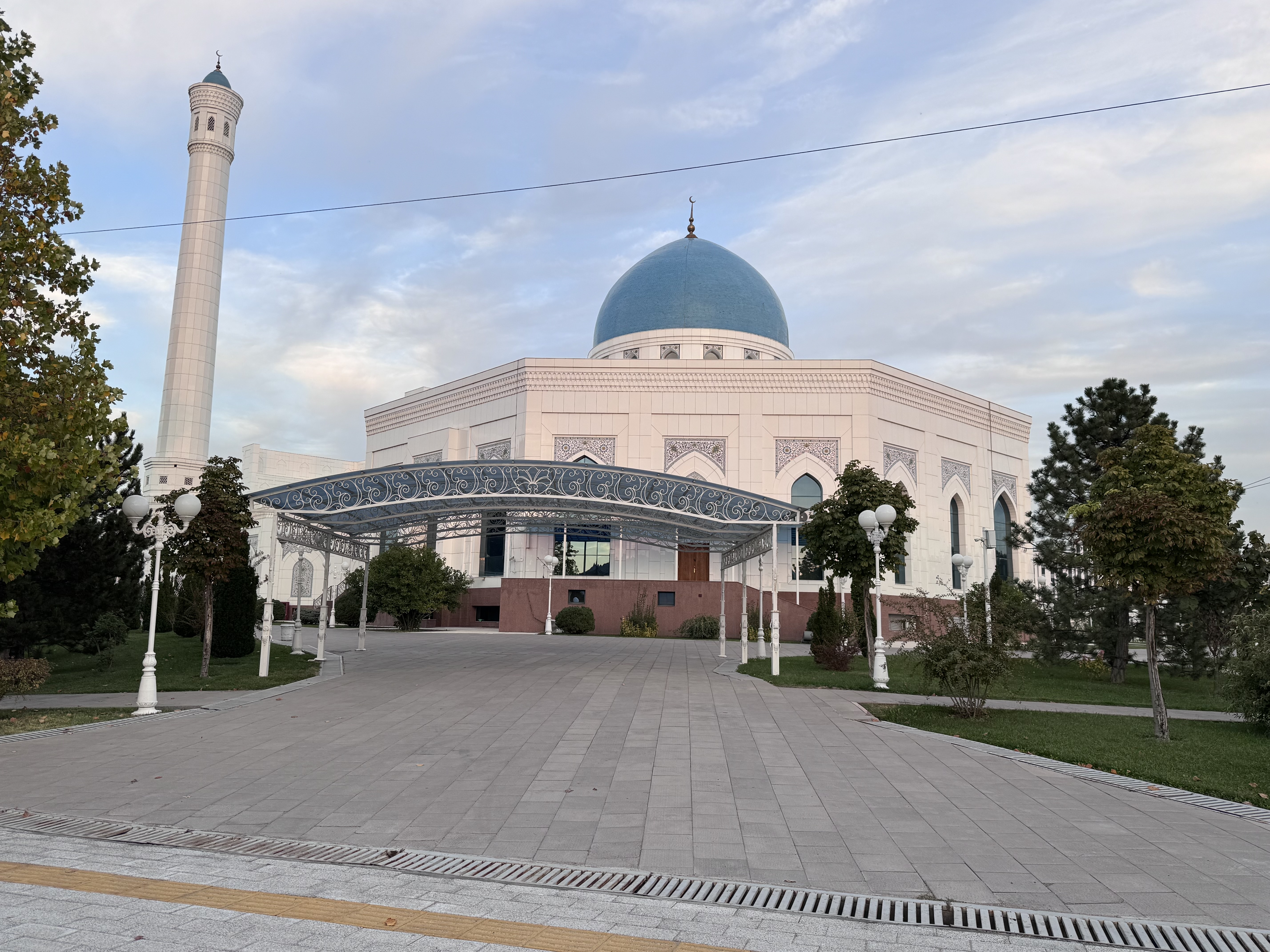
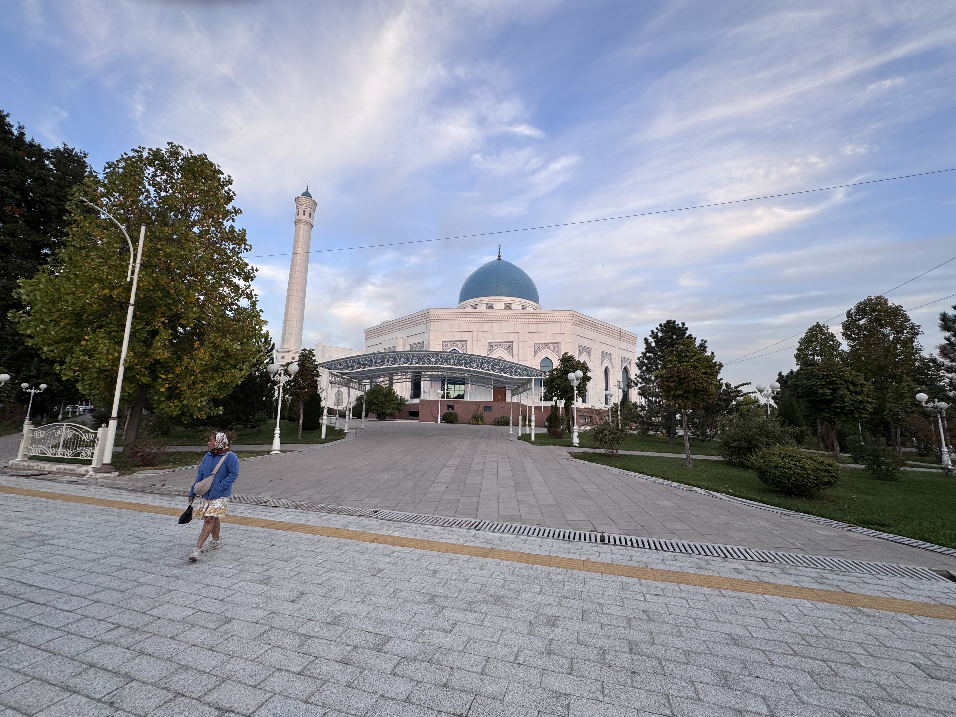
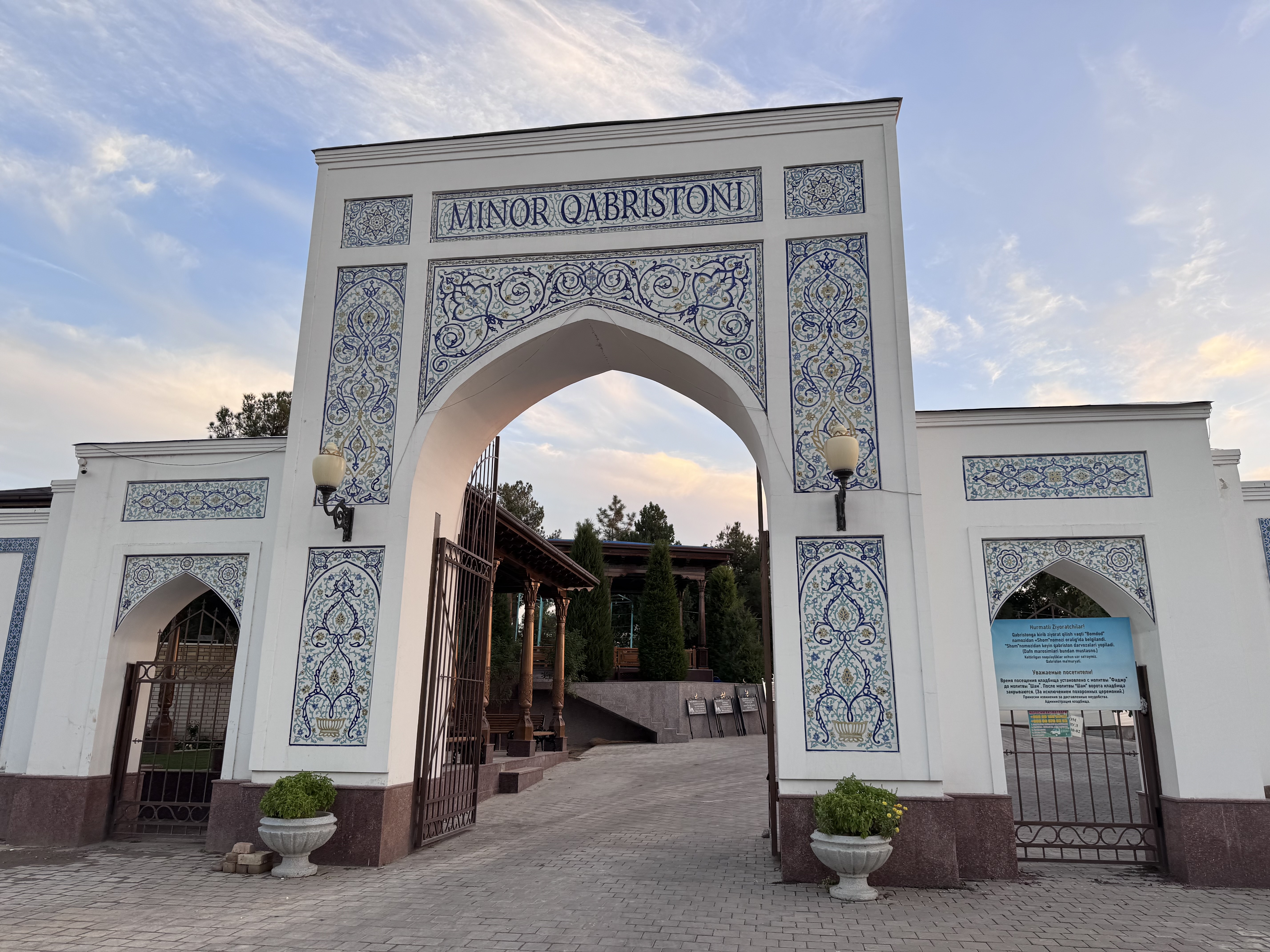
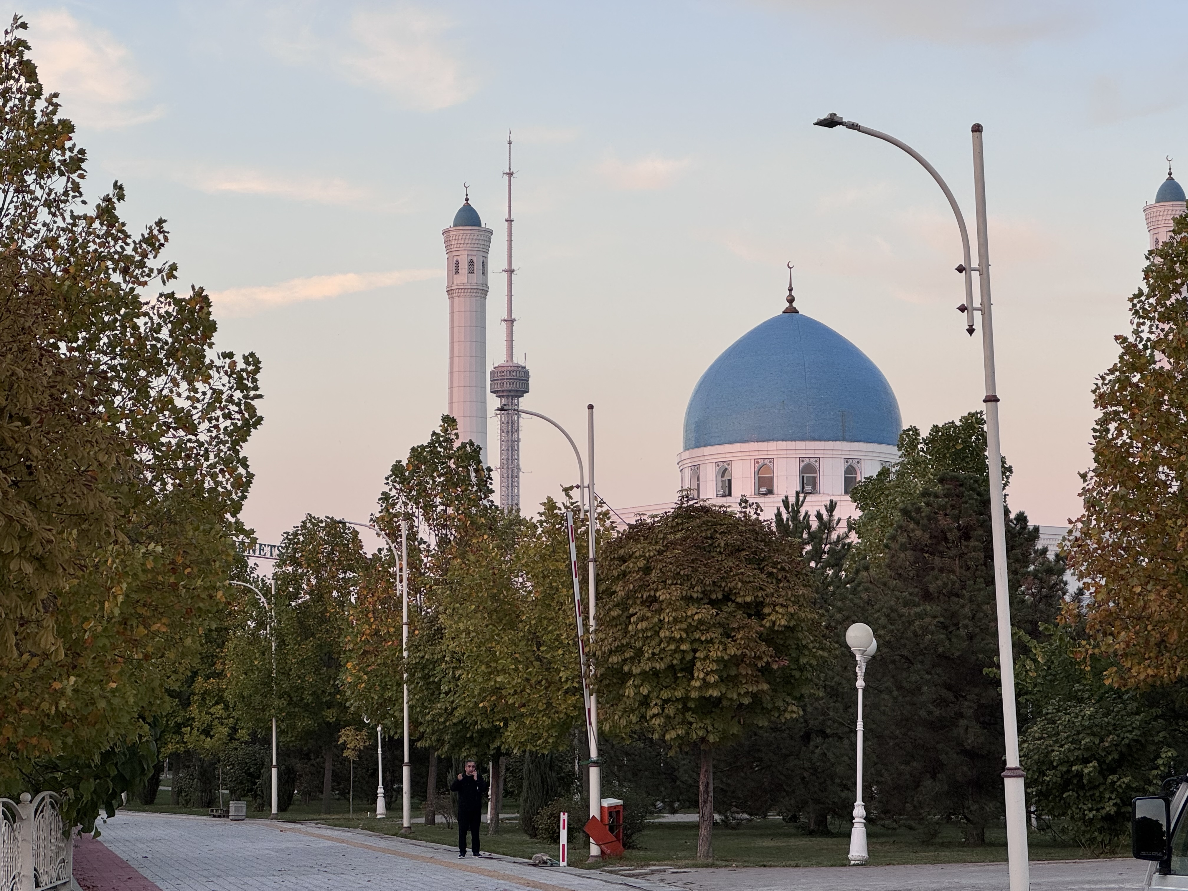
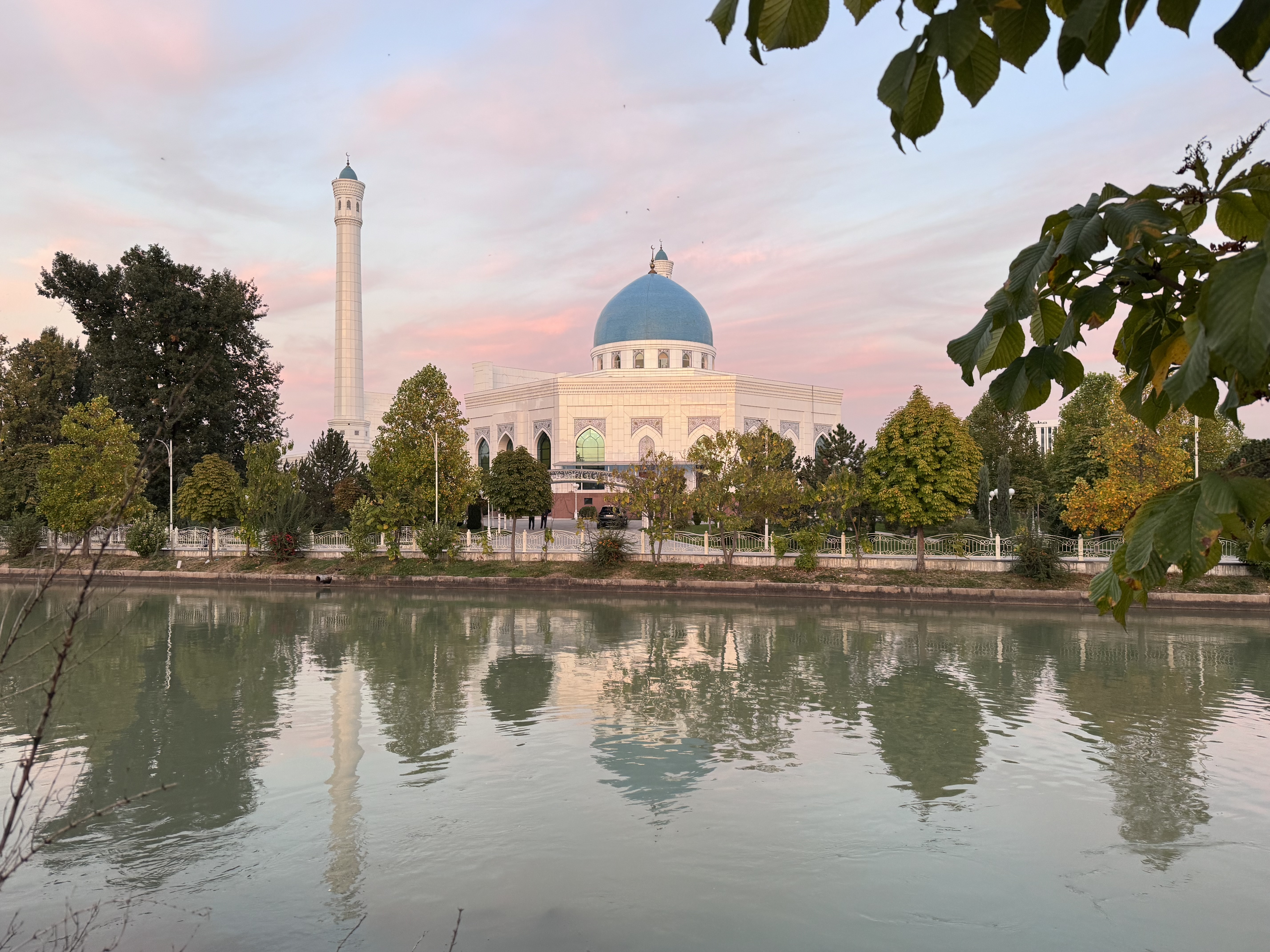
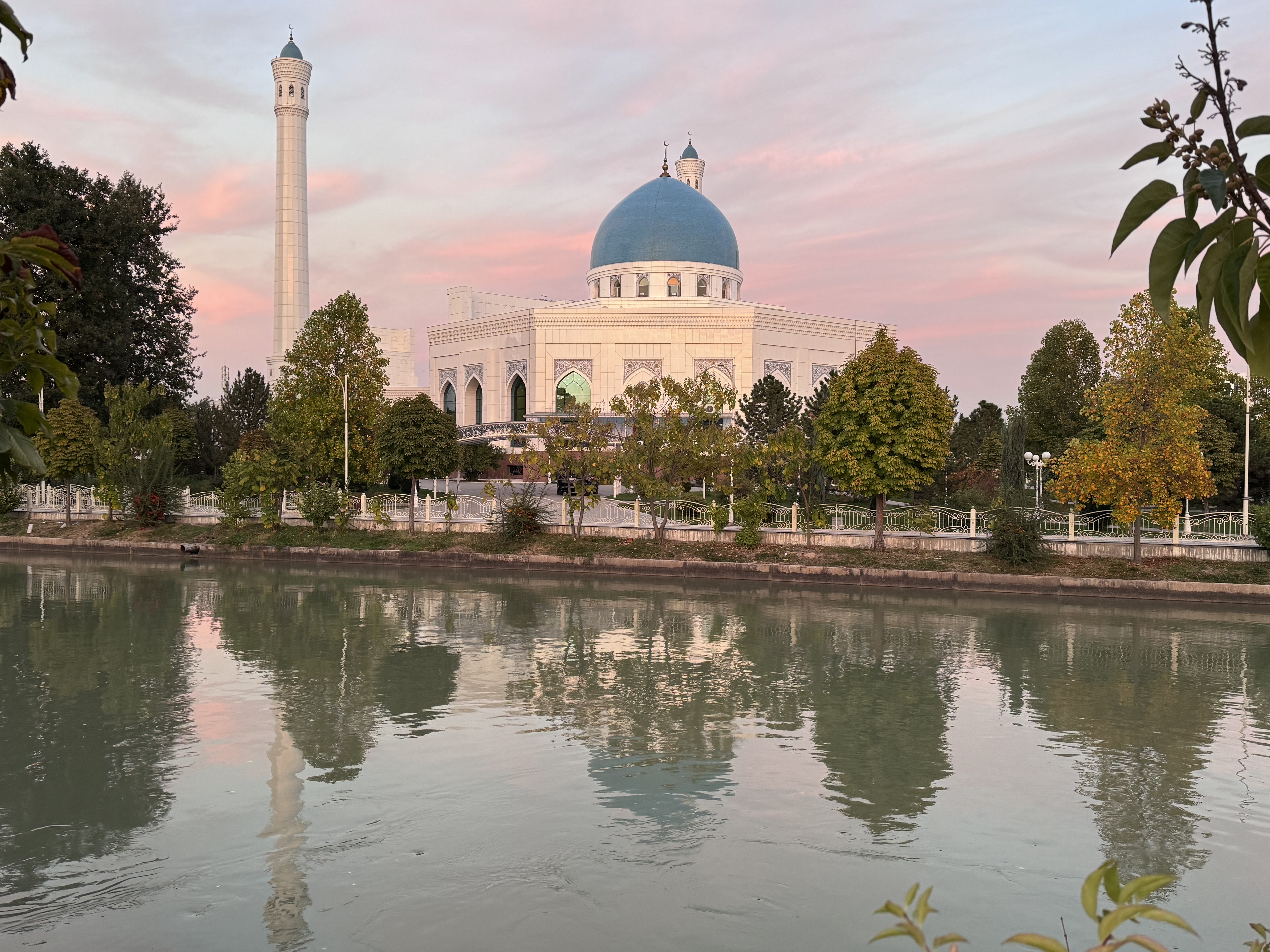
The Minor Mosque rises as one of Tashkent’s most memorable modern landmarks, a radiant white marble structure set along the banks of the Ankhor Canal in the Yunusabad district.
Work began in the summer of 2013 under a presidential decree from Islam Karimov, and the building was finished in a little more than a year. On October 1, 2014, just before the holiday of Kurban Hayit, the president attended the formal opening, giving the city a major new spiritual center that soon became one of the largest and most visited mosques in Uzbekistan.
Its name comes from the Uzbek word for minaret, a natural reference to the twin thirty-eight meter towers that frame the main facade. Unlike the historic brick mosques that shape so much of Central Asian architecture, the Minor Mosque is completely covered in pure white marble.
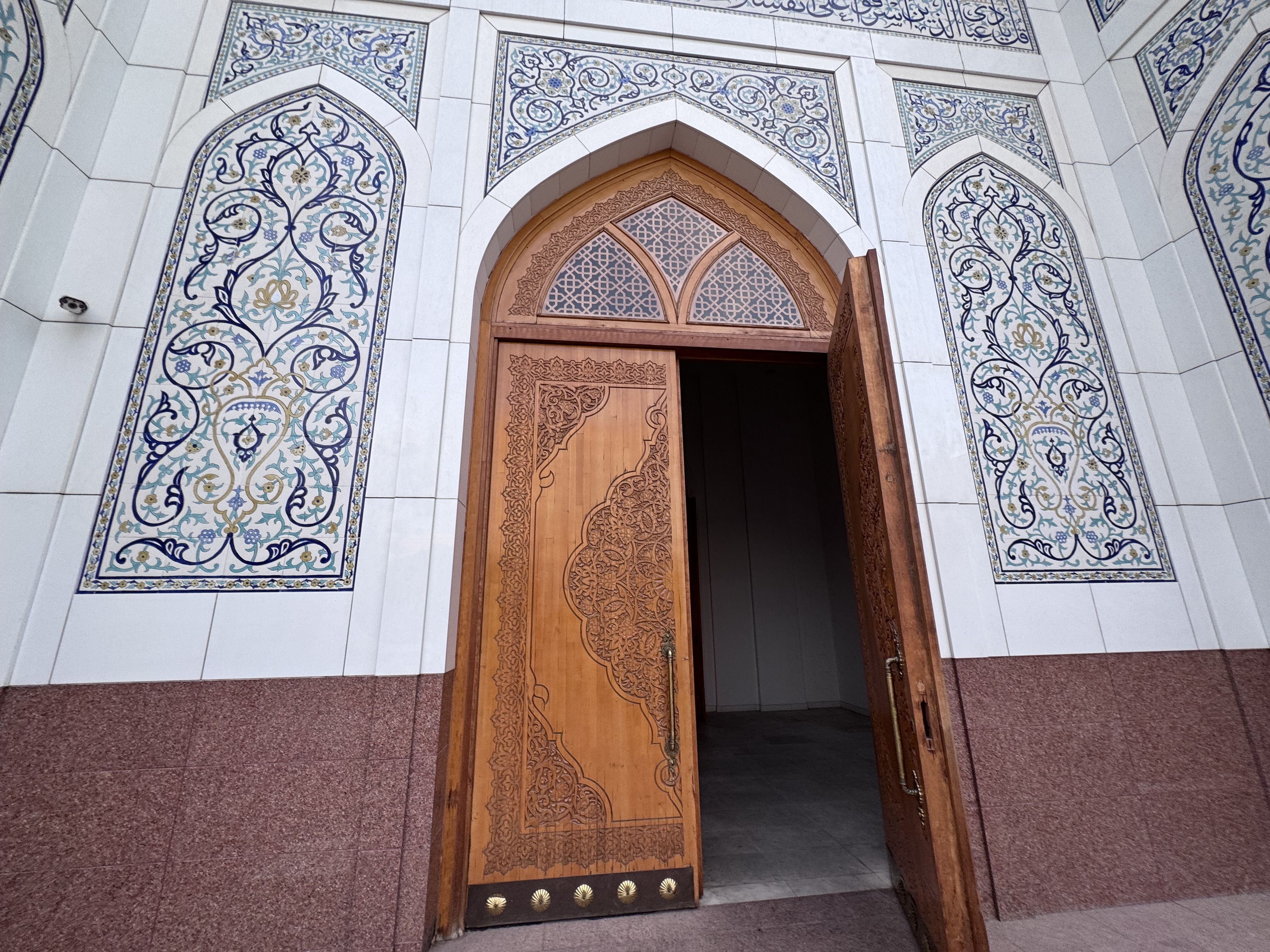
The surface catches the light and gives the entire building a soft, luminous quality, while its broad turquoise dome seems to melt into the sky on clear days. The design blends traditional ...
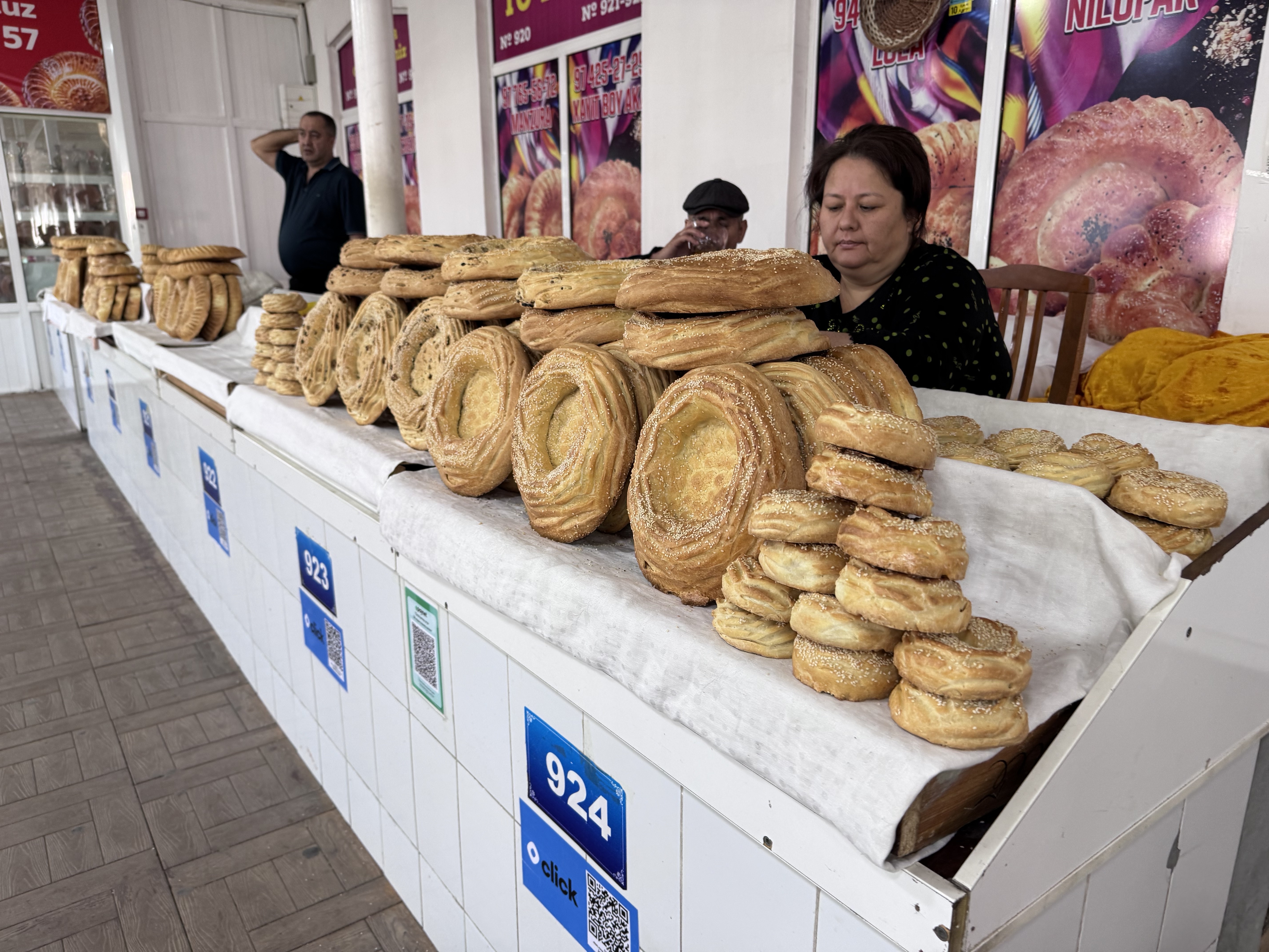
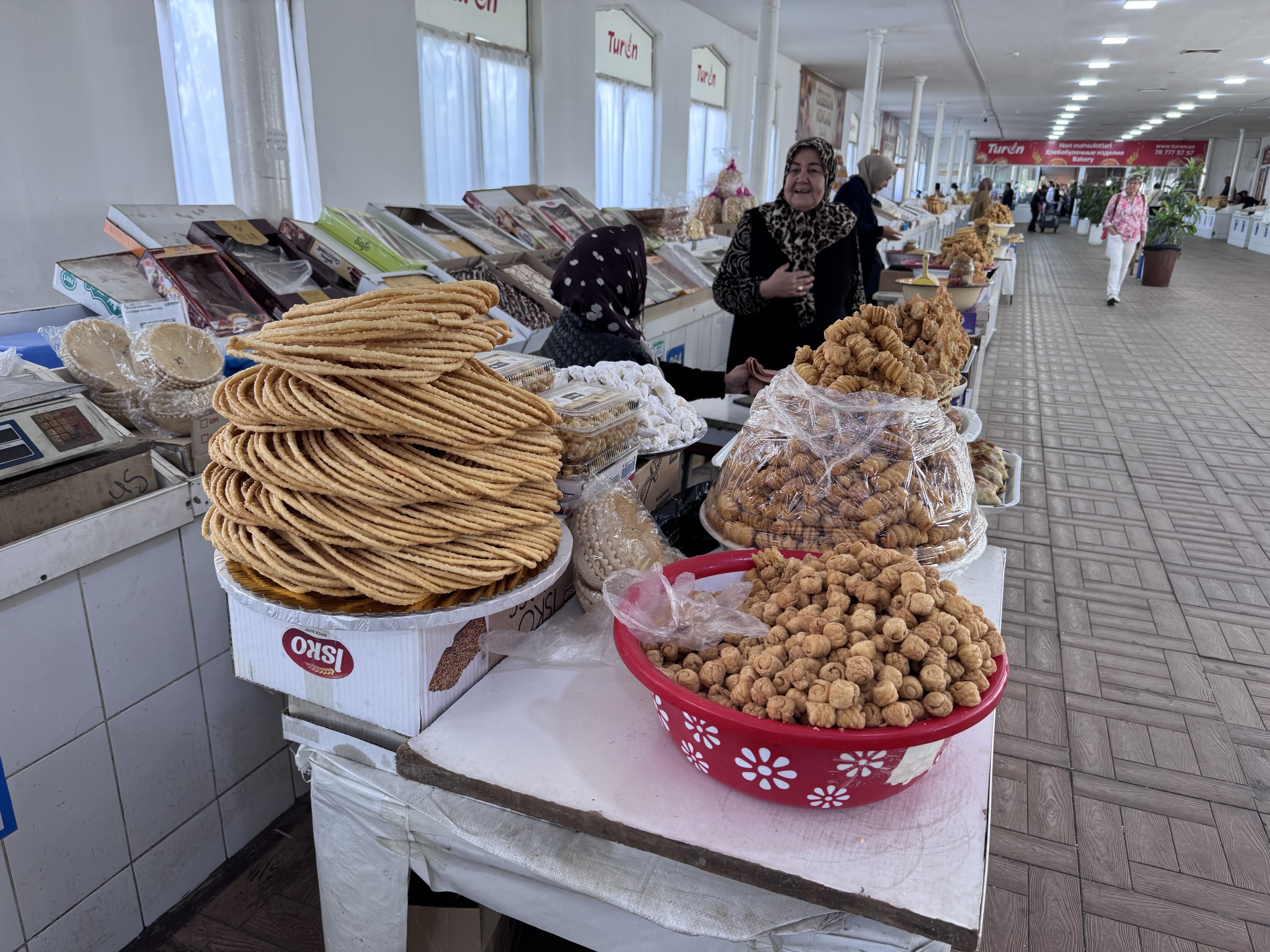
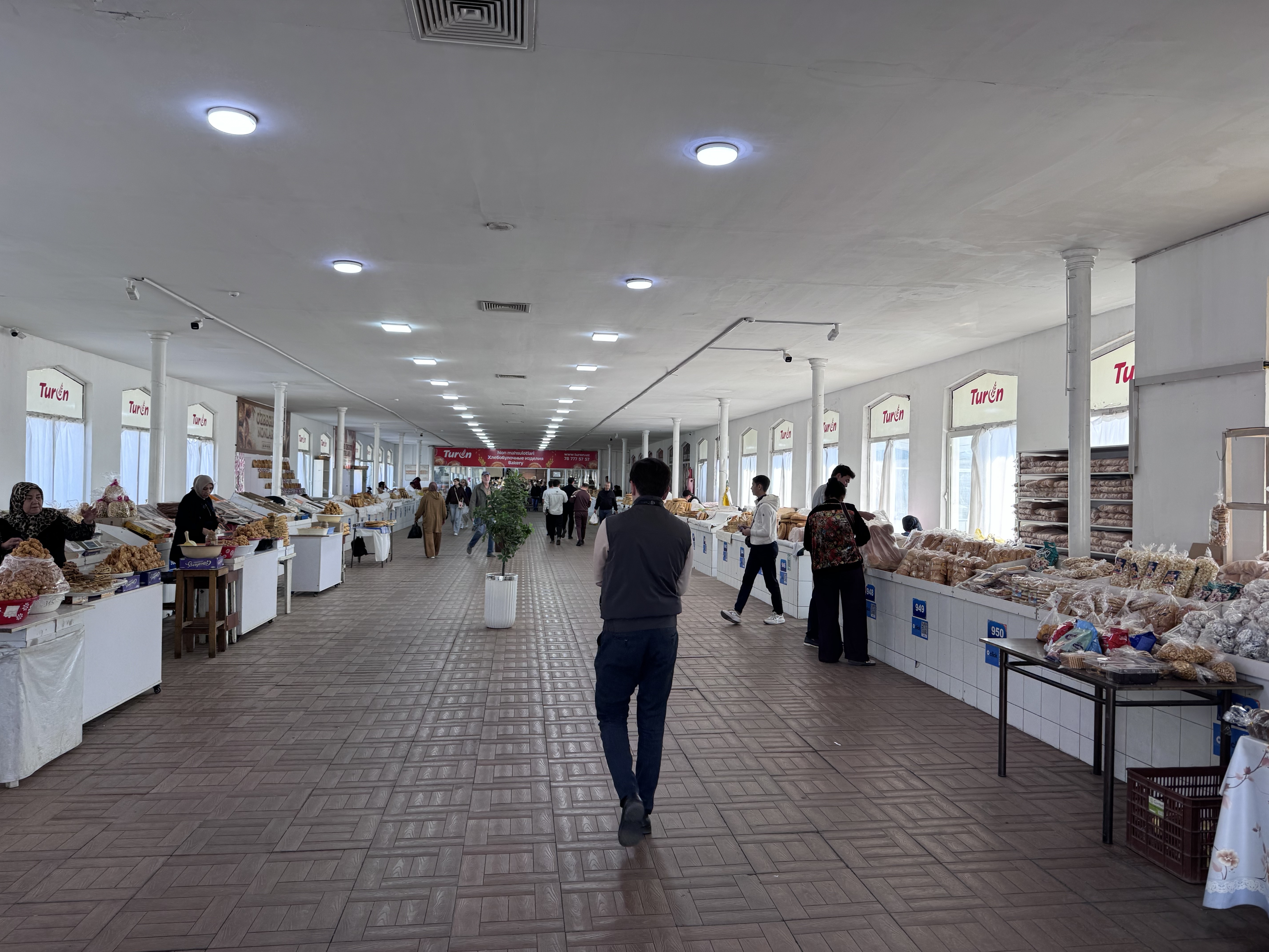
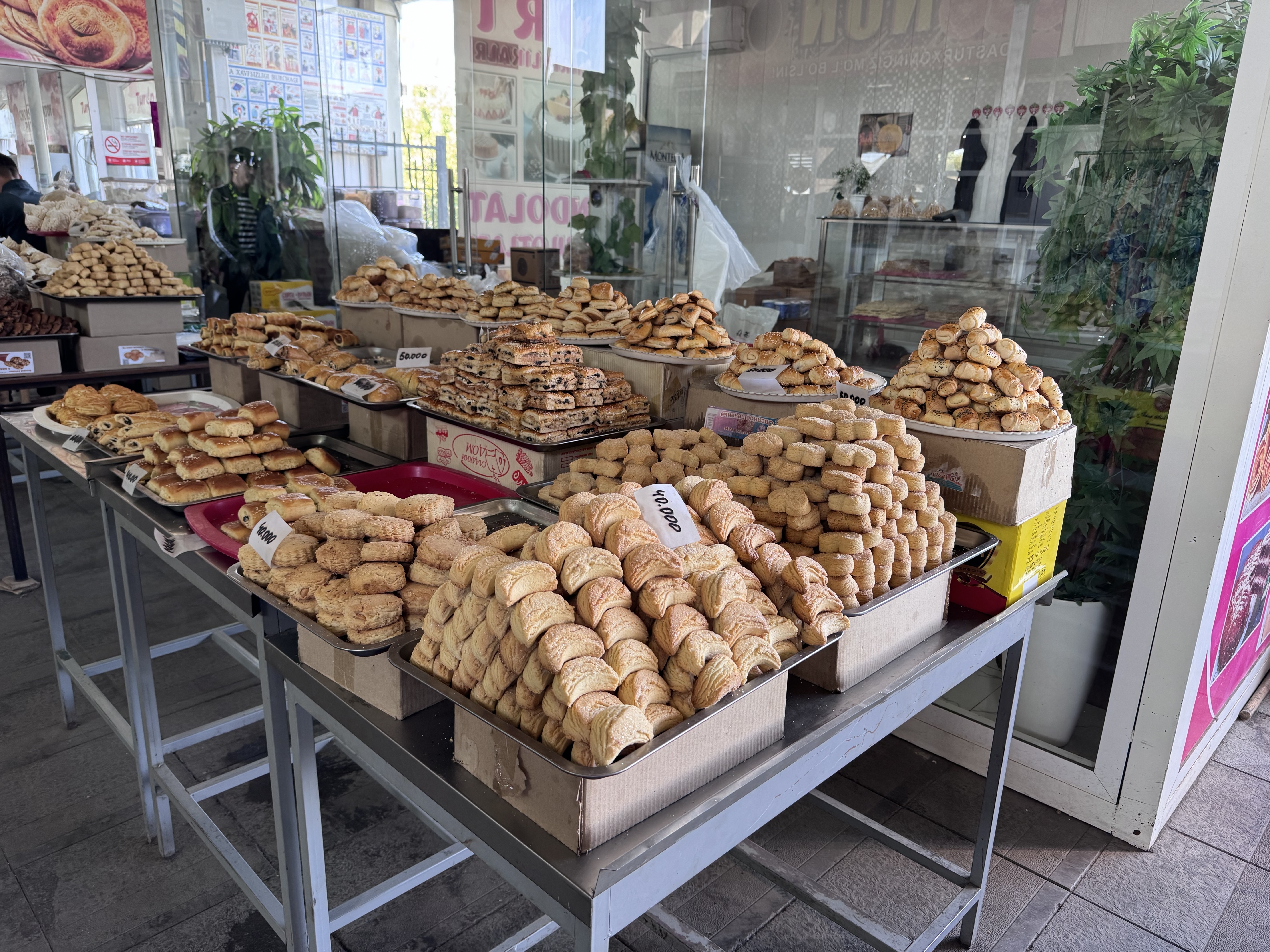
At Chorsu Bazaar in the heart of Tashkent’s Old City, the bread section stands as one of the market’s most sensory and deeply local experiences.
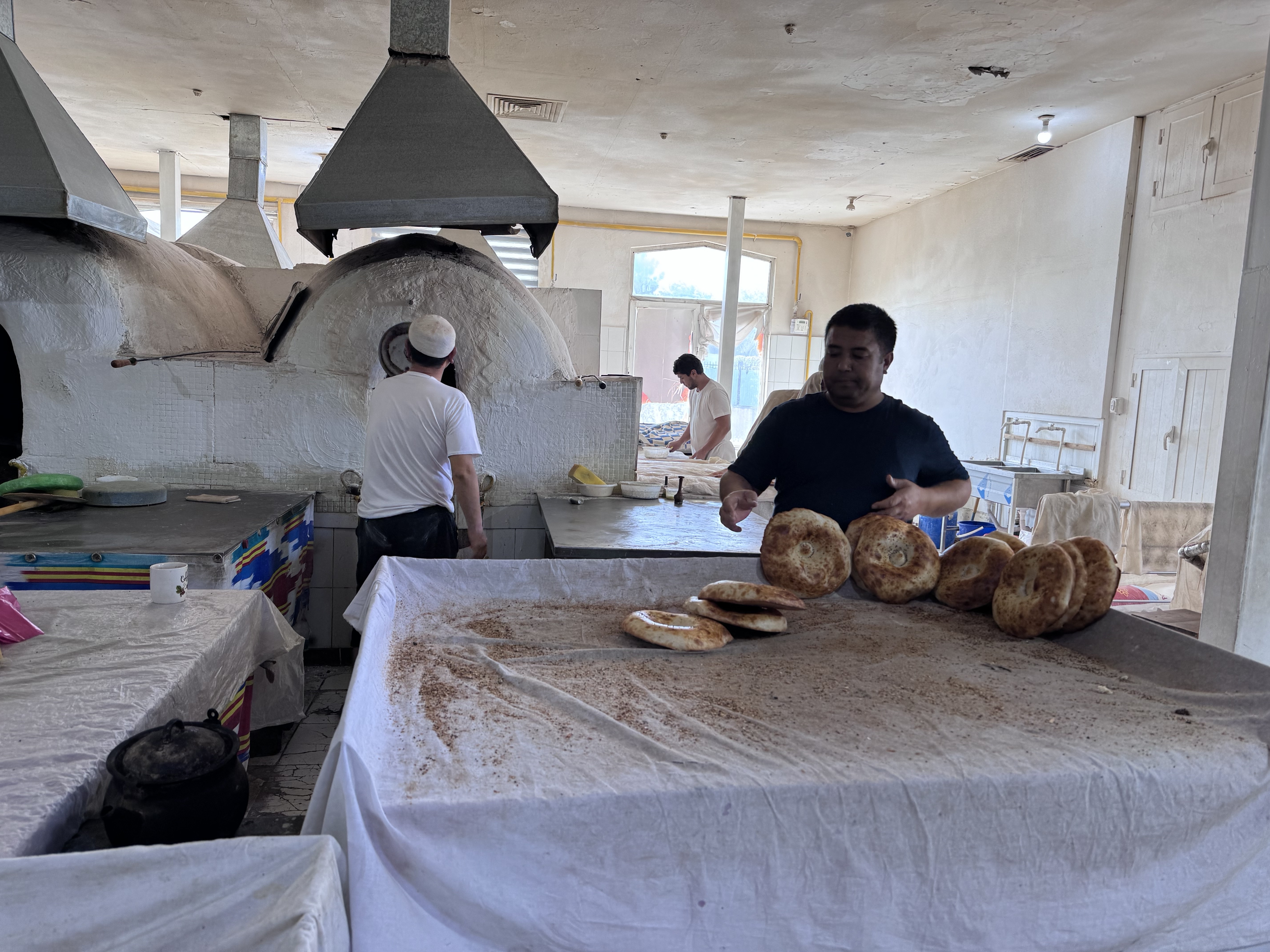
Located to the left or northern side of the iconic blue-domed hall, this area draws both residents buying their daily non and curious visitors following the warm, toasty aroma that rises from traditional clay tandoor ovens.
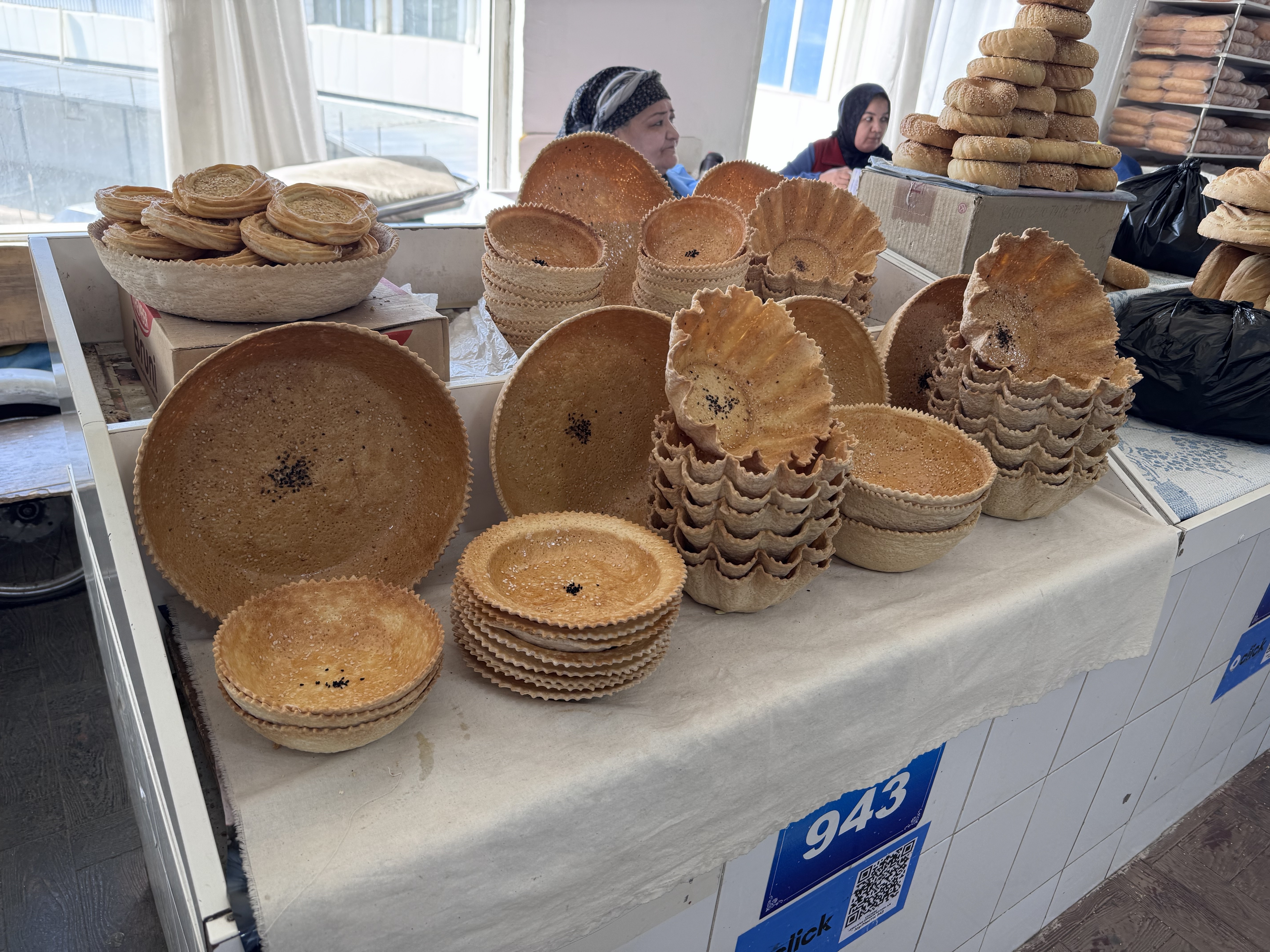
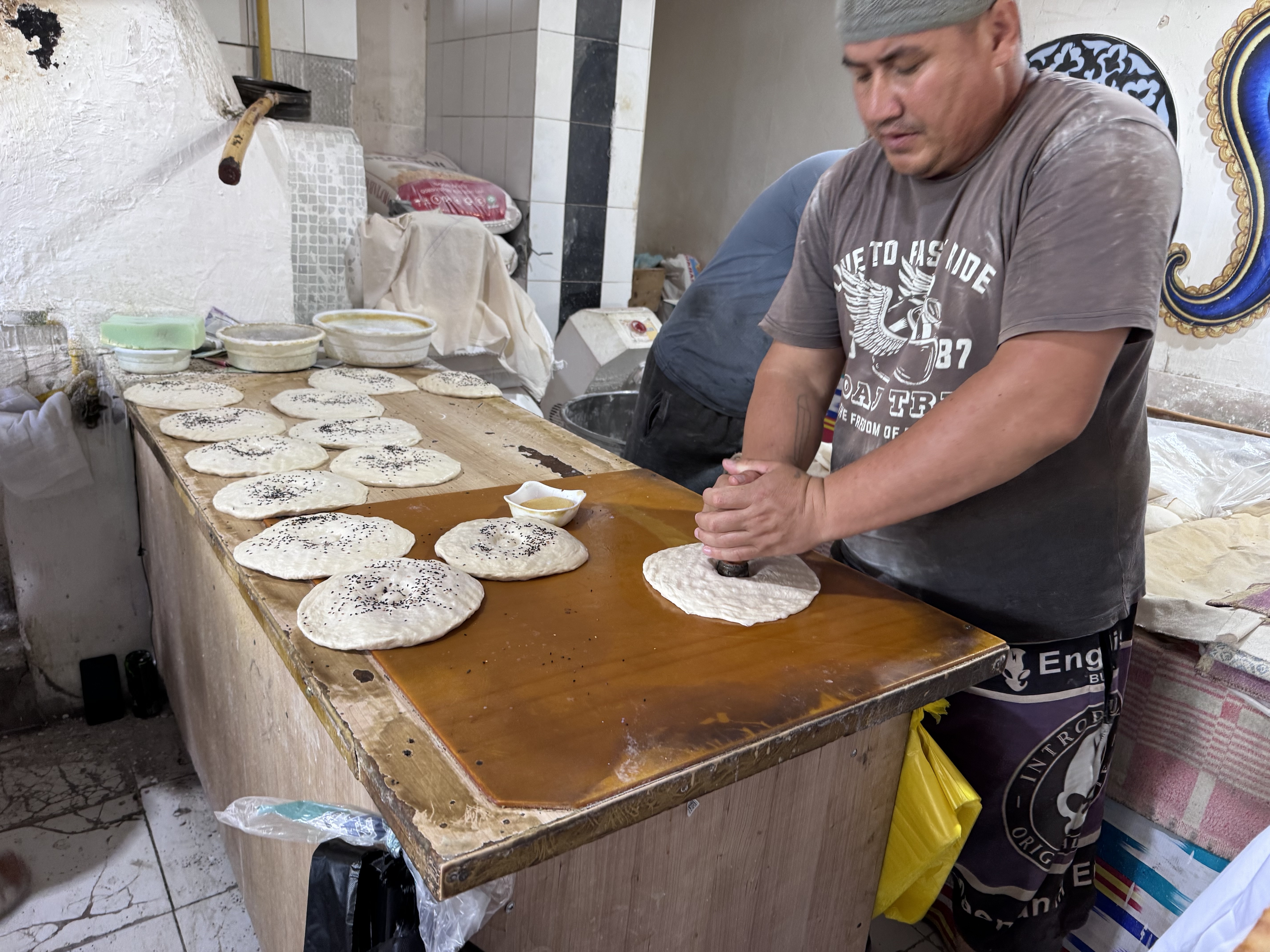
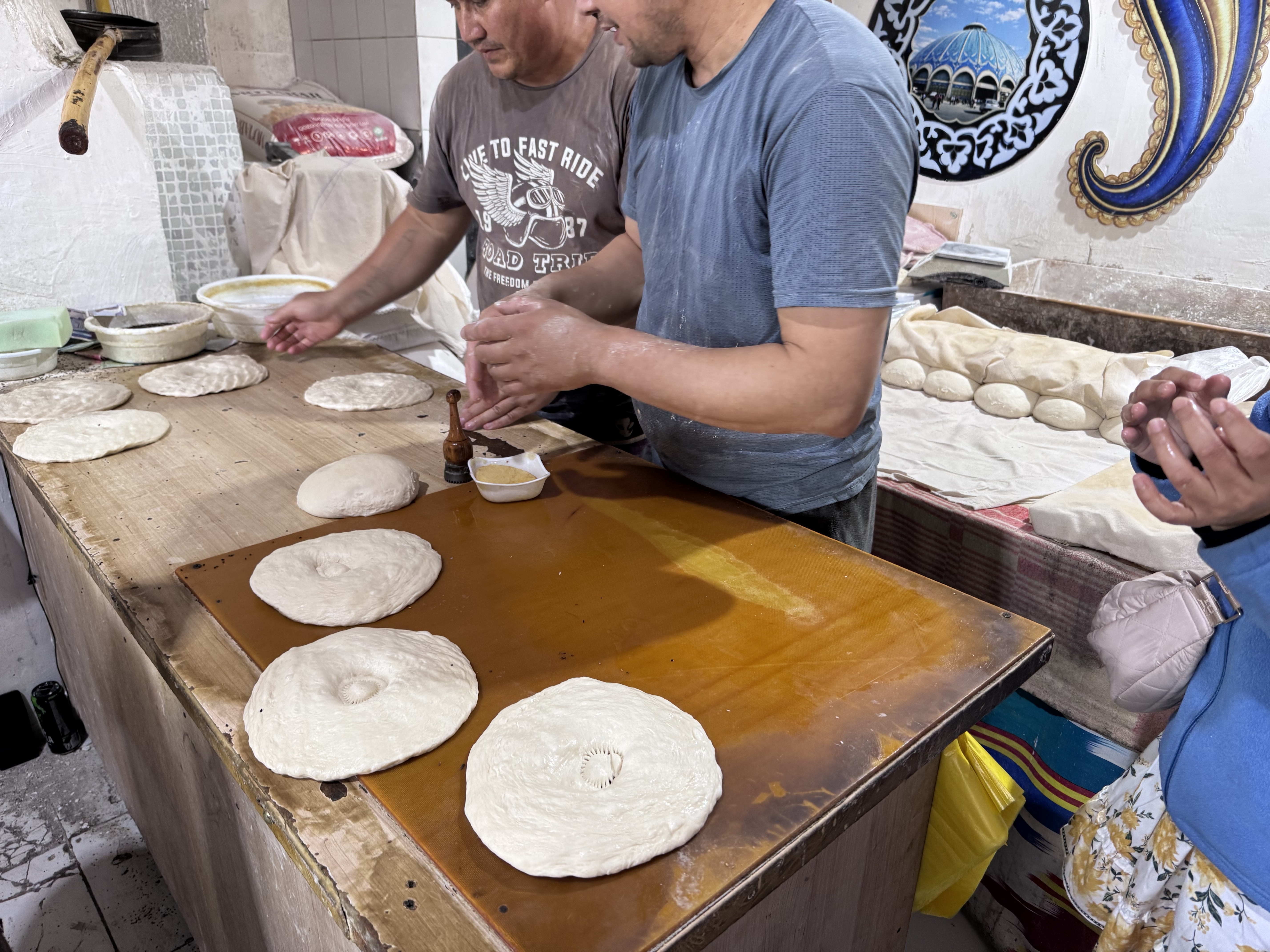
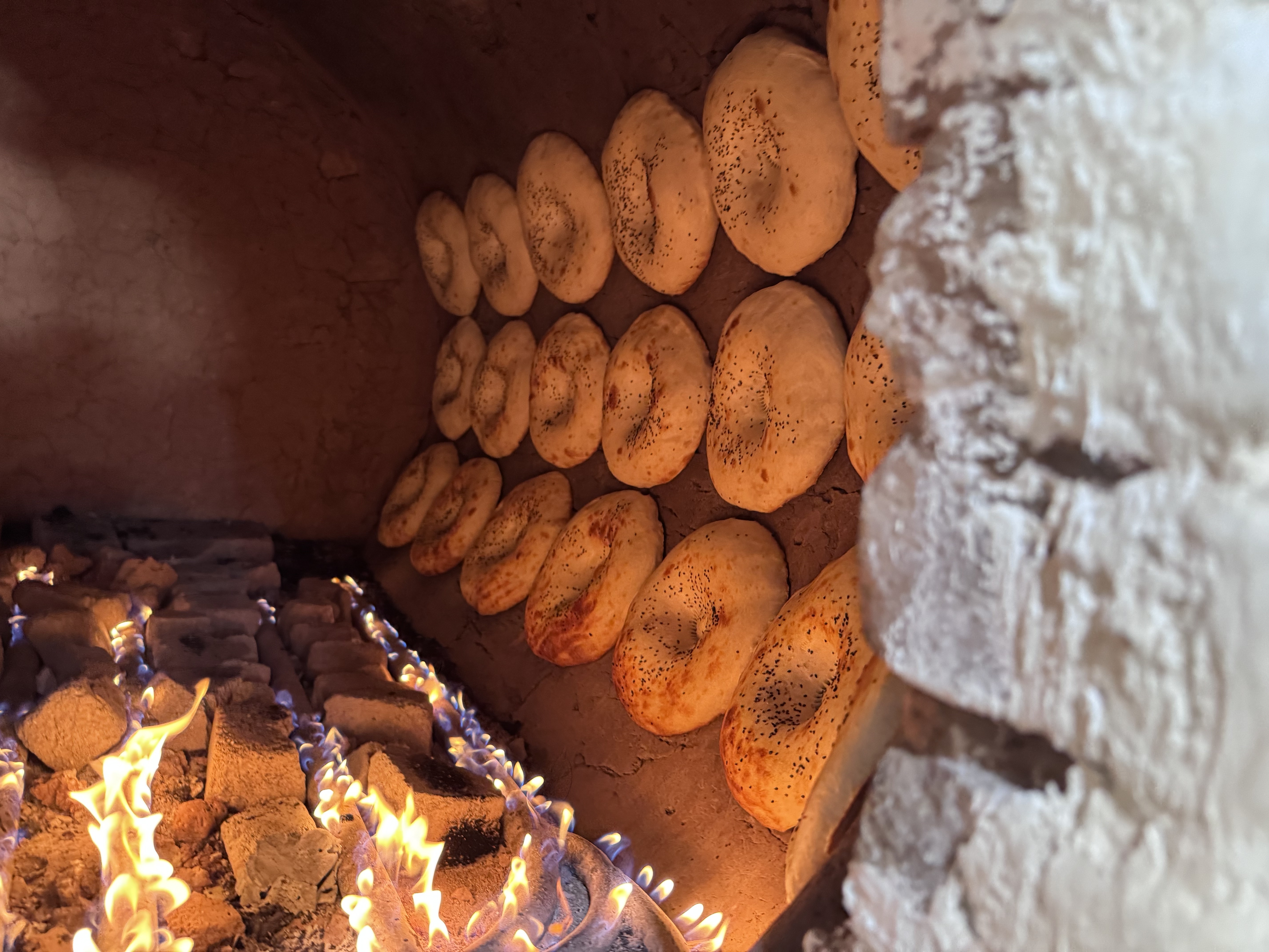
Bakers begin work before dawn, shaping dough into rounds, pressing distinctive geometric patterns into the centers with wooden stamps known as chekich, and then skillfully slapping the loaves against the blistering inner walls of the ovens. Minutes later they pull out golden, fragrant bread with crisp edges and soft interiors, stacking them into tall patterned towers that locals tap lightly to test freshness before purchasing.
The selection reflects Uzbekistan’s rich regional bread culture. Classic obi non appears as the everyday round flatbread with a thinner center and raised rim. Thicker Tashkent-style patyr or patir non ...