

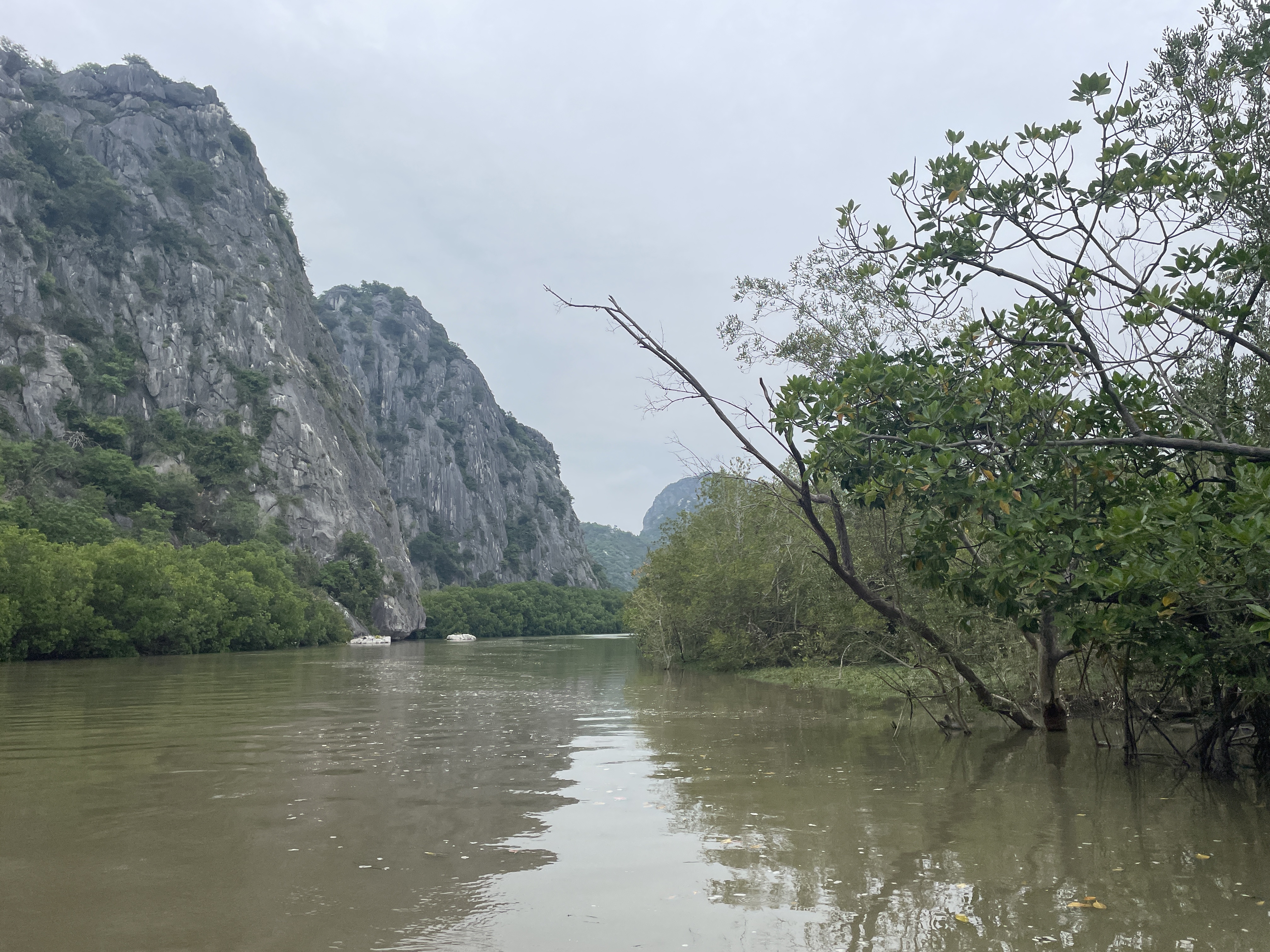
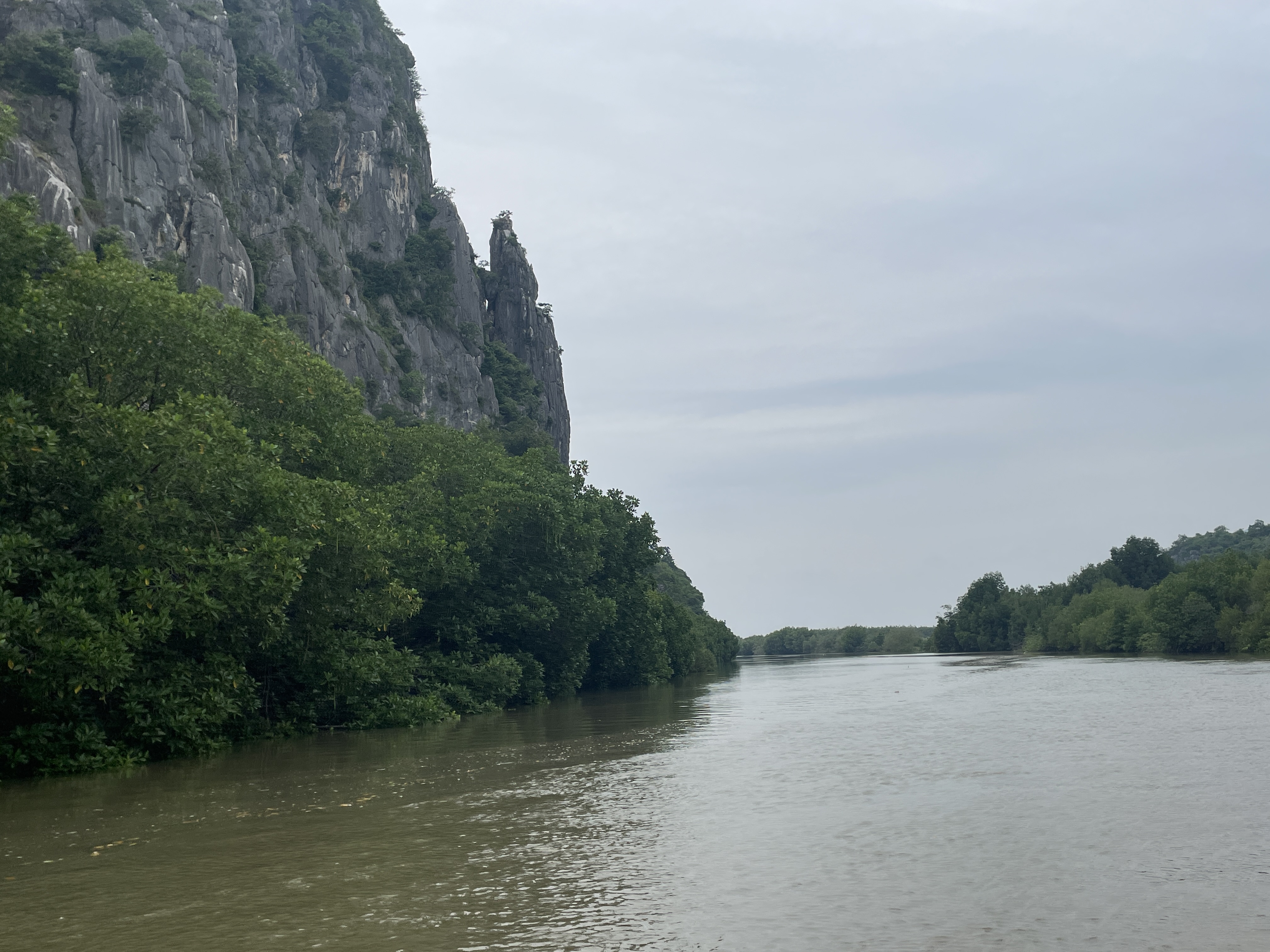
Covering about 98 sq km, Khao Sam Roi Yot National Park is located on the coast of Prachuap Khiri Khan Province, south of Hua Hin. It is the first marine national park of Thailand.
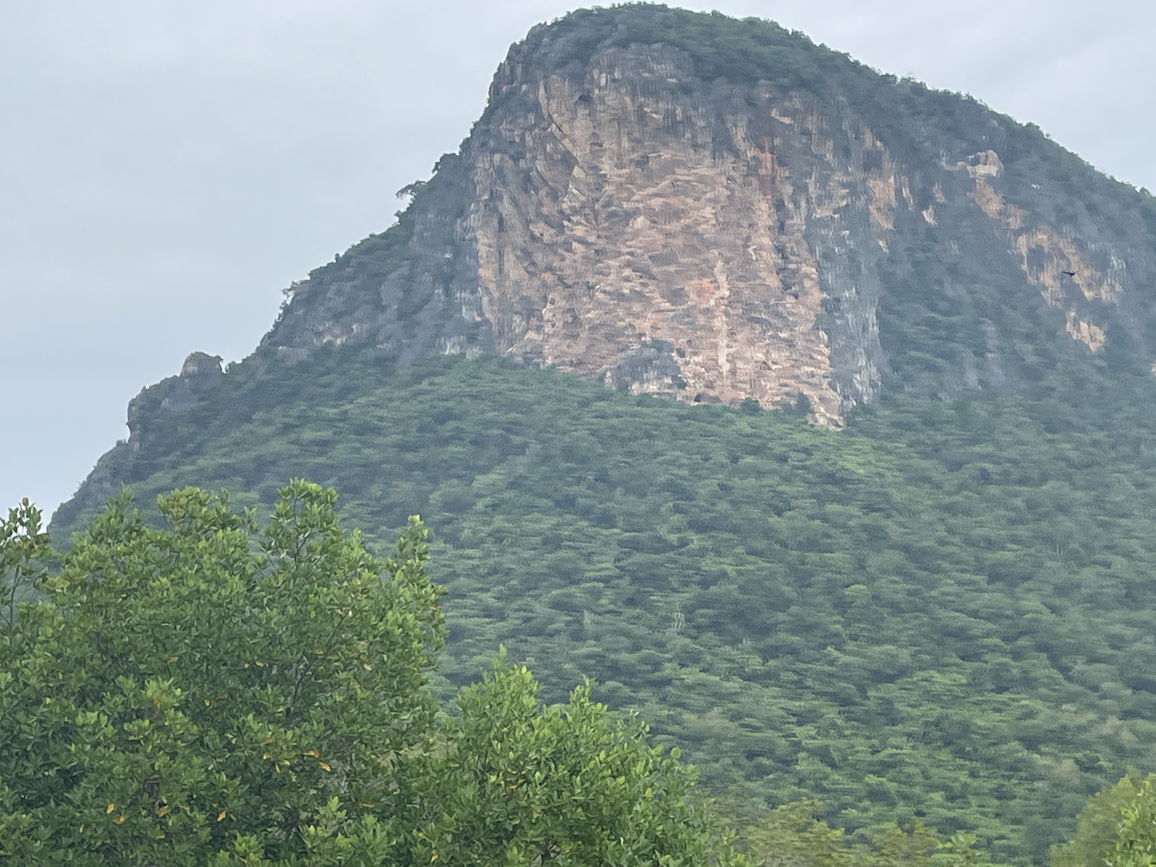
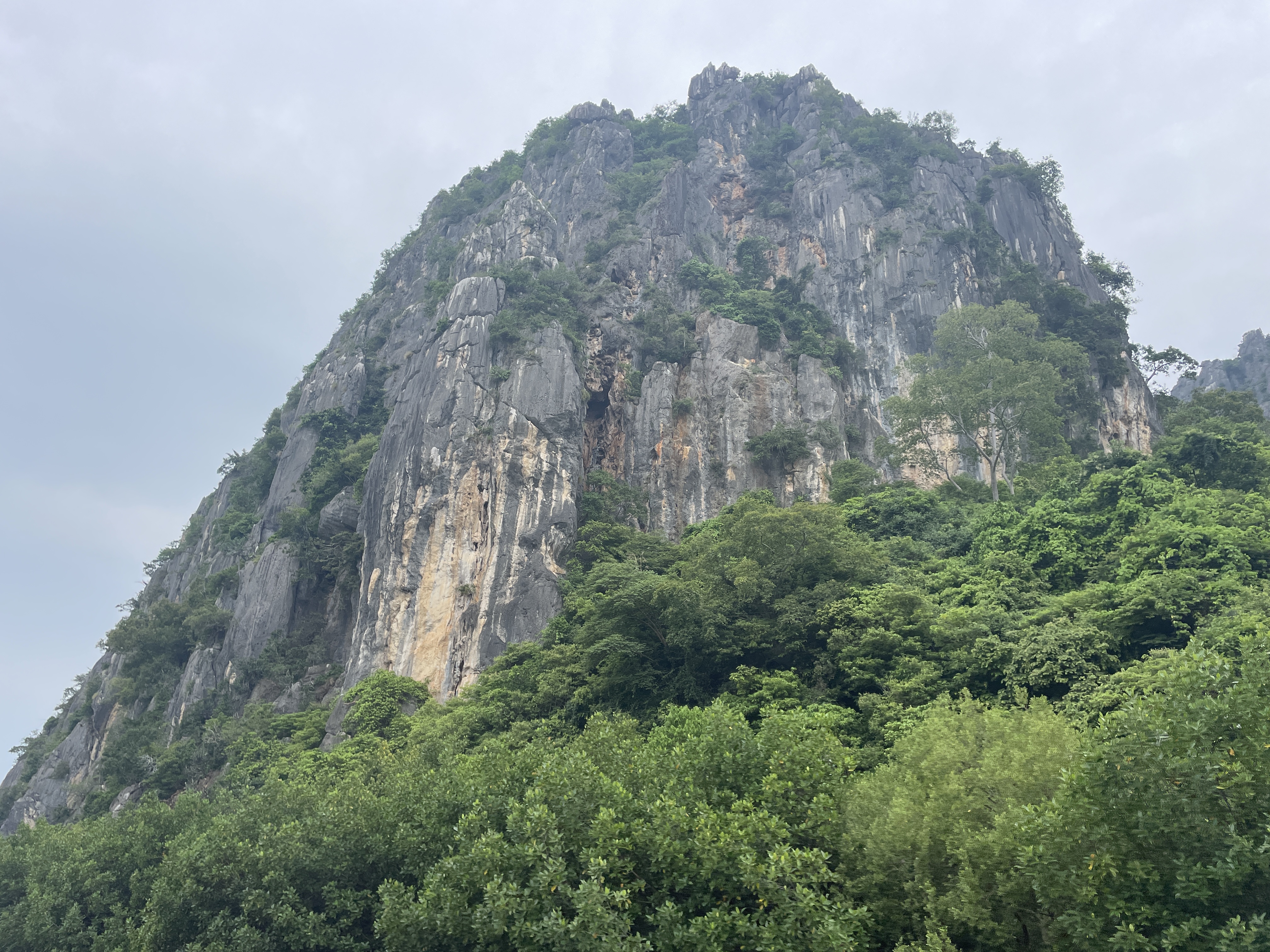
Khao Sam Roi Yot means "The mountain with three hundred peaks" and refers to a series of limestone hills along the Gulf of Thailand with the highest one at 605 meters. The northwest corner of the mountain range is called Thung Sam Roi Yot and is mainly a freshwater marsh covering nearly 37% of the national park which makes it the largest wetlands area in Thailand.
The main attractions of the national park are Phraya Nakhon Cave with its iconic royal pavilion and huge chamber, Kaeo Cave and Thung Sam Roi Yot Freshwater Marsh. The park is also a nice destination for its rich wildlife in the freshwater marsh and mangrove forests, beautiful beaches, limestone islands, trails and viewpoints.
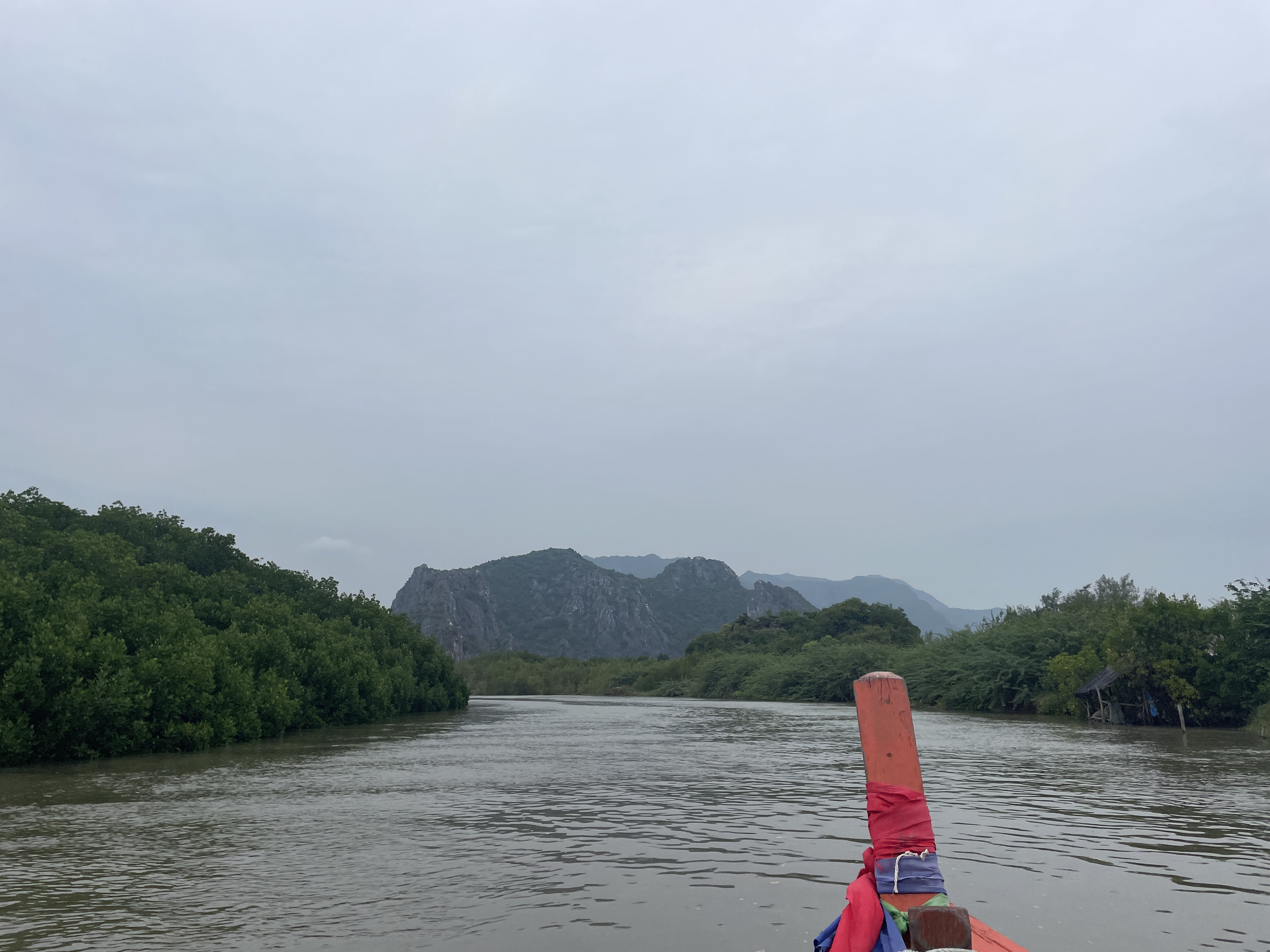
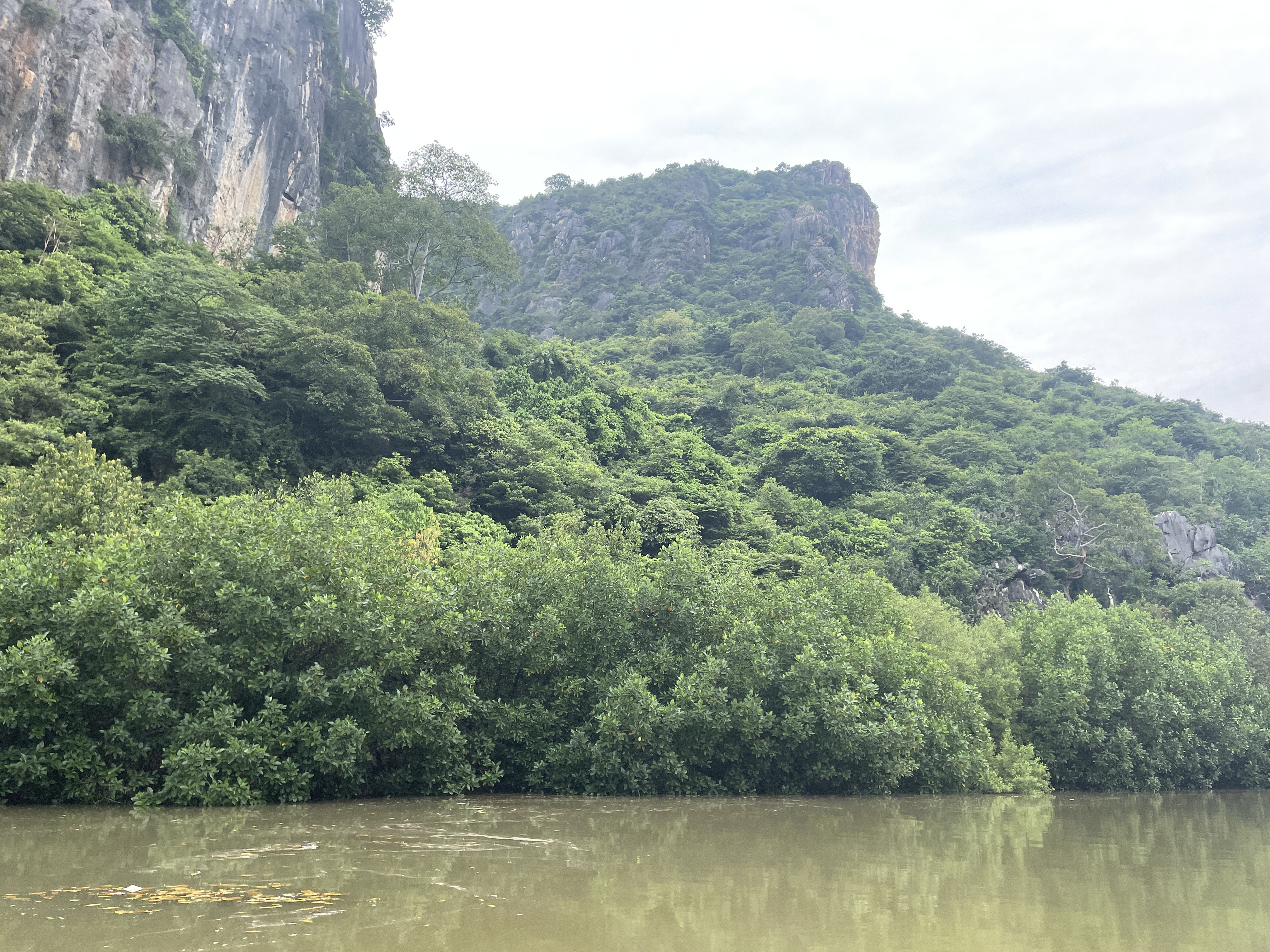
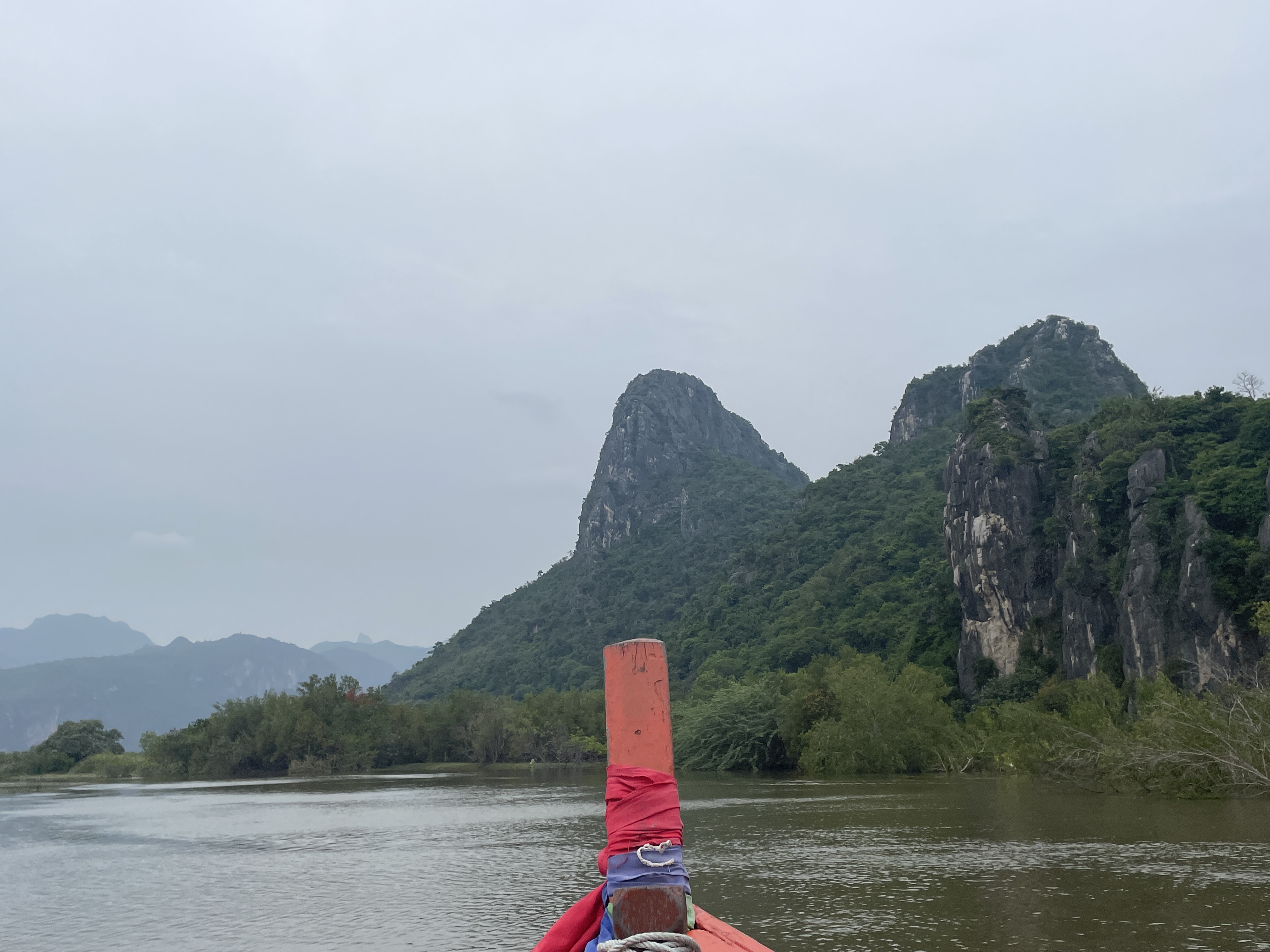
The mangroves are easily accessible by boat. The tour lasts just over an hour and is a great way to explore the area. In ...
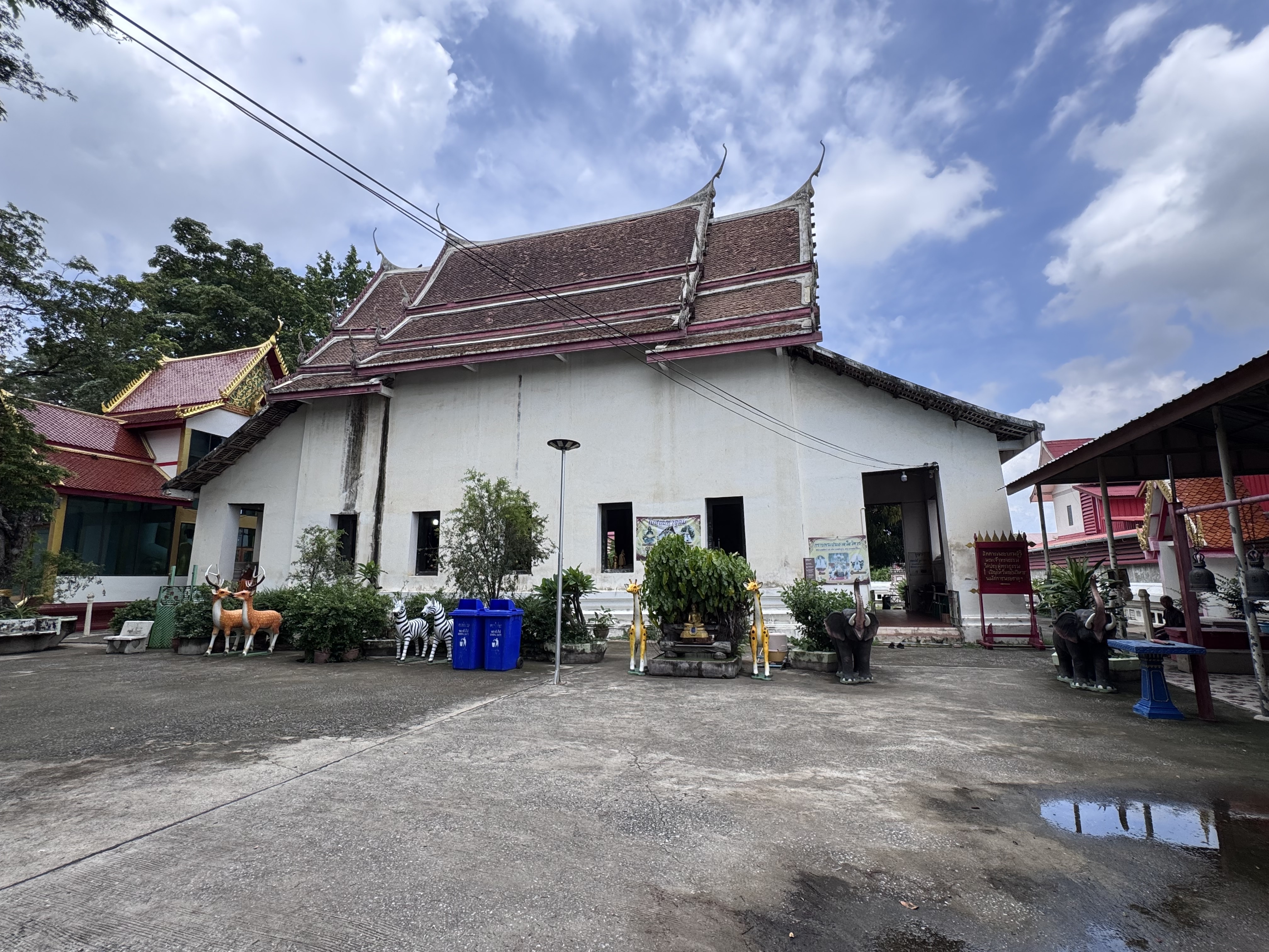
Wat Pradu Songtham (also rendered as Wat Pradu Songram or earlier forms such as Wat Pradu Rongtham) stands east of the former Ayutthaya city island in the area historically known as Ayothaya or Ayodhaya, adjacent to the sites of Wat Kudi Dao and Wat Chakrawan. The surrounding district shows evidence of settlement long predating King U Thong’s foundation of Ayutthaya in 1351, with Khmer occupation under Suryavarman I of Angkor in the early eleventh century establishing a stronghold linked to Lopburi and naming the place after the sacred Indian city of Ayodhya.
The earliest firm historical references place the monastery firmly within the Ayutthaya kingdom under royal patronage from the reign of King Songtham (1610–1628). The Royal Chronicles of Ayutthaya record that Japanese merchants, angered by the king’s treatment of their community and by the execution of one of their leaders, formed a force of roughly five hundred men and, in alliance with the official Phra Phimon, marched on the palace ...
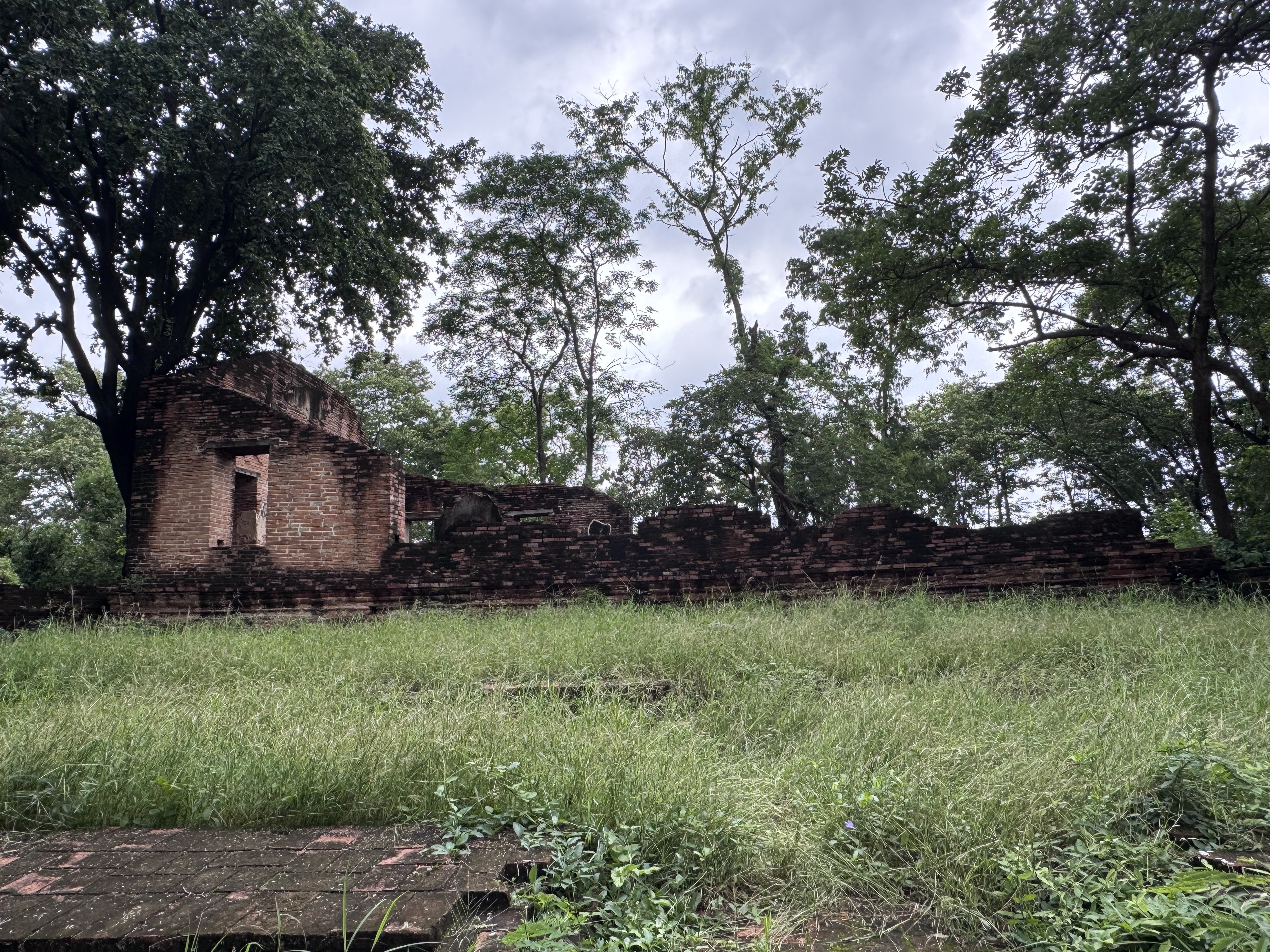
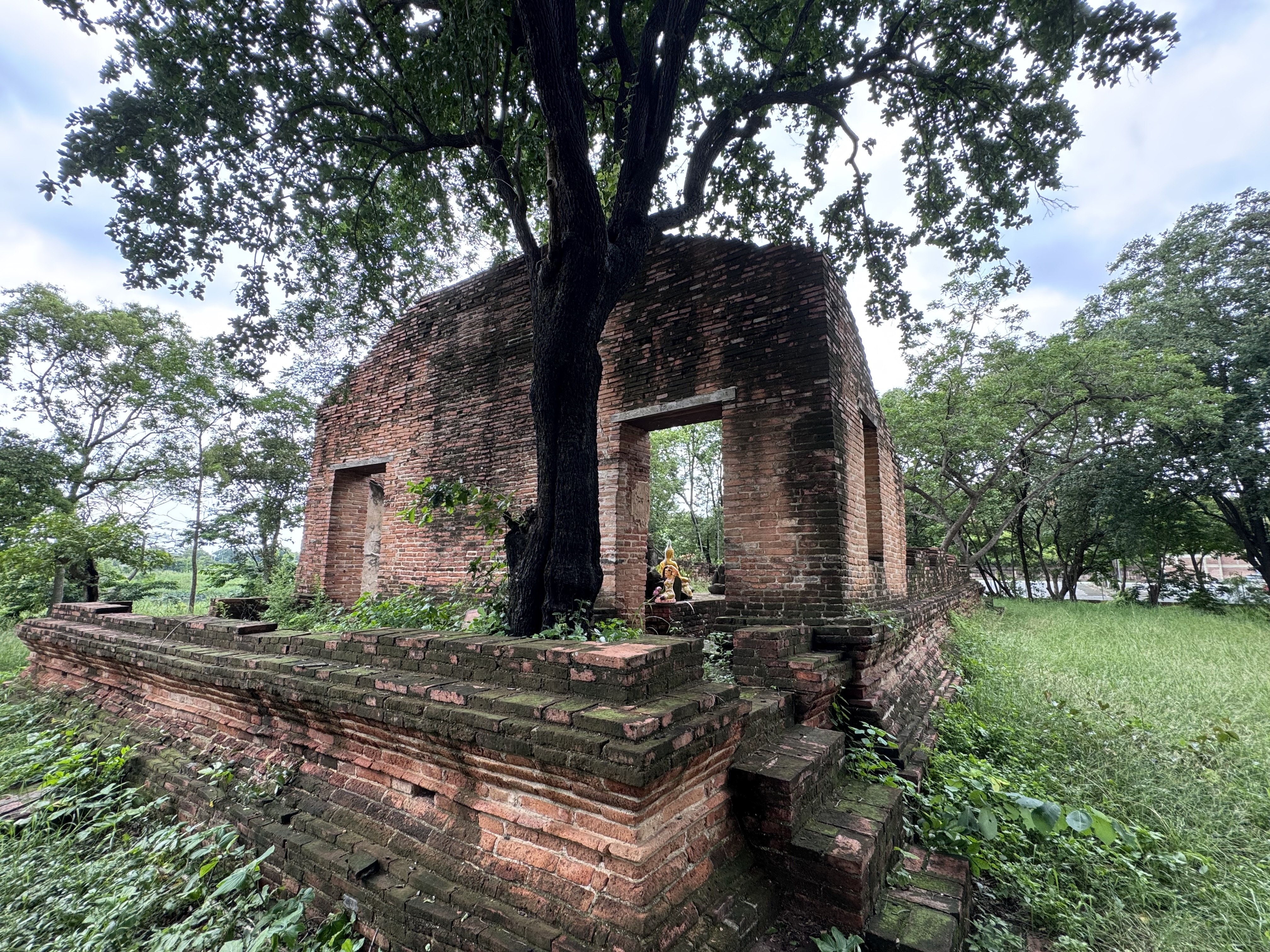
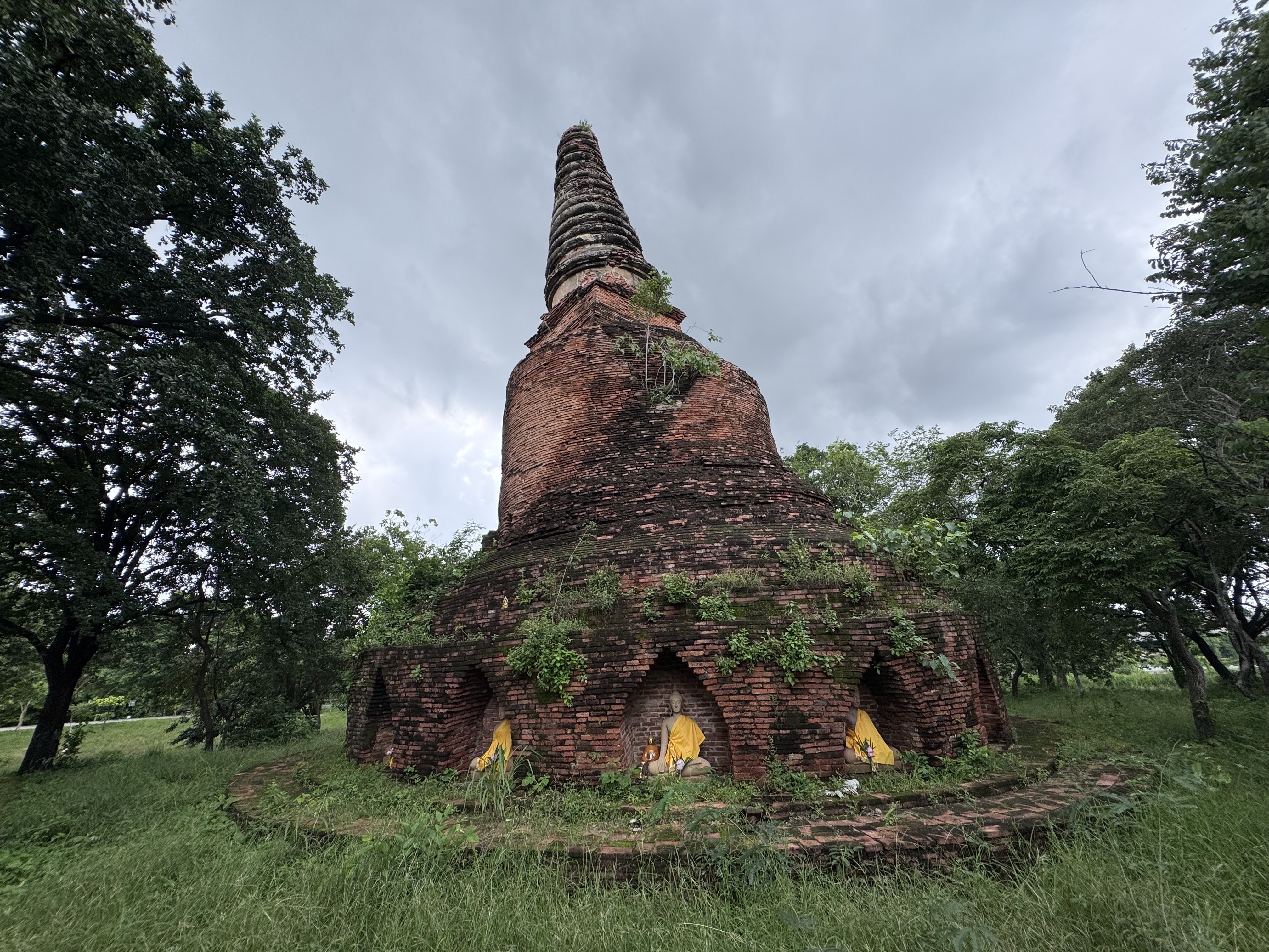
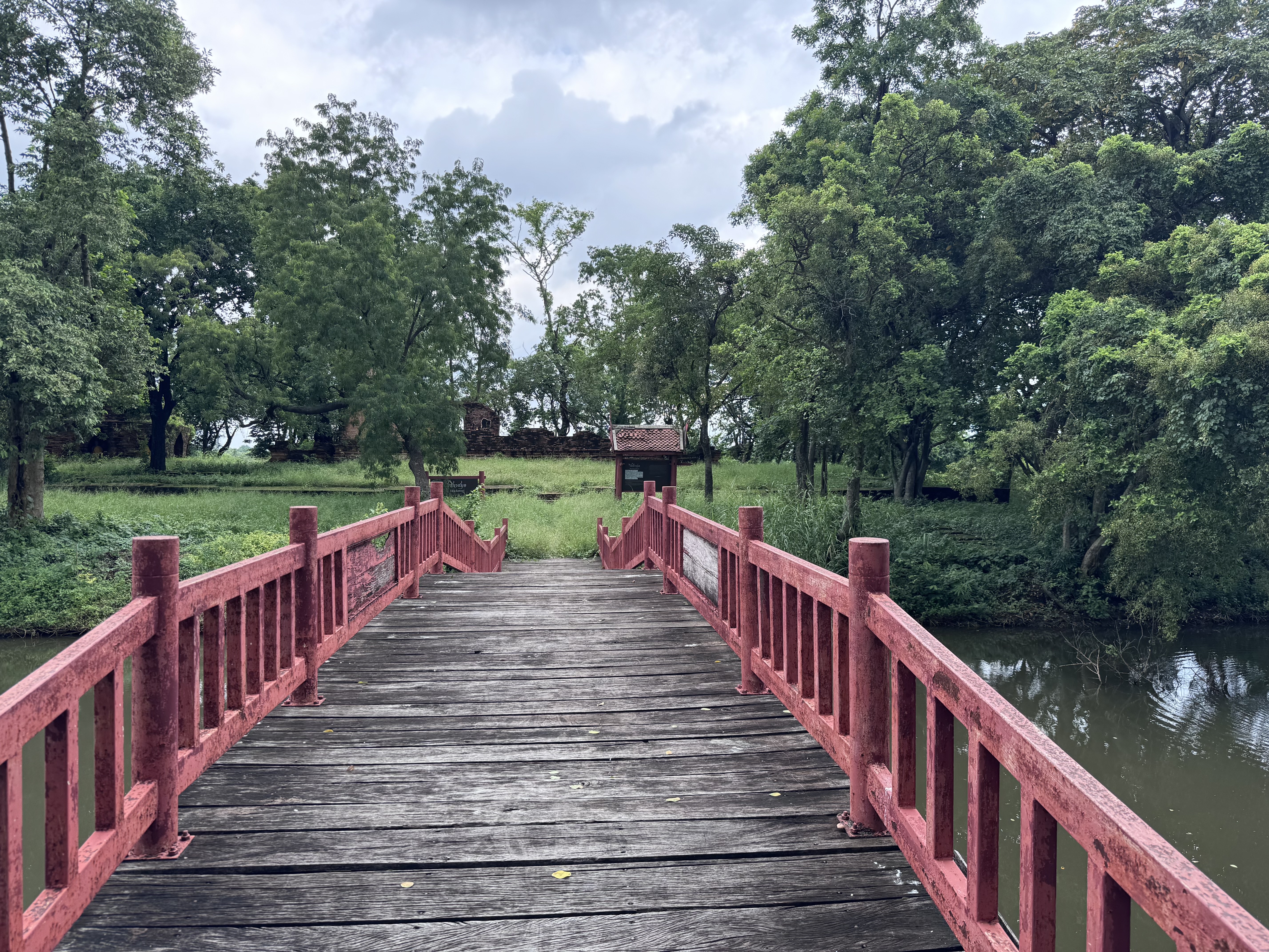
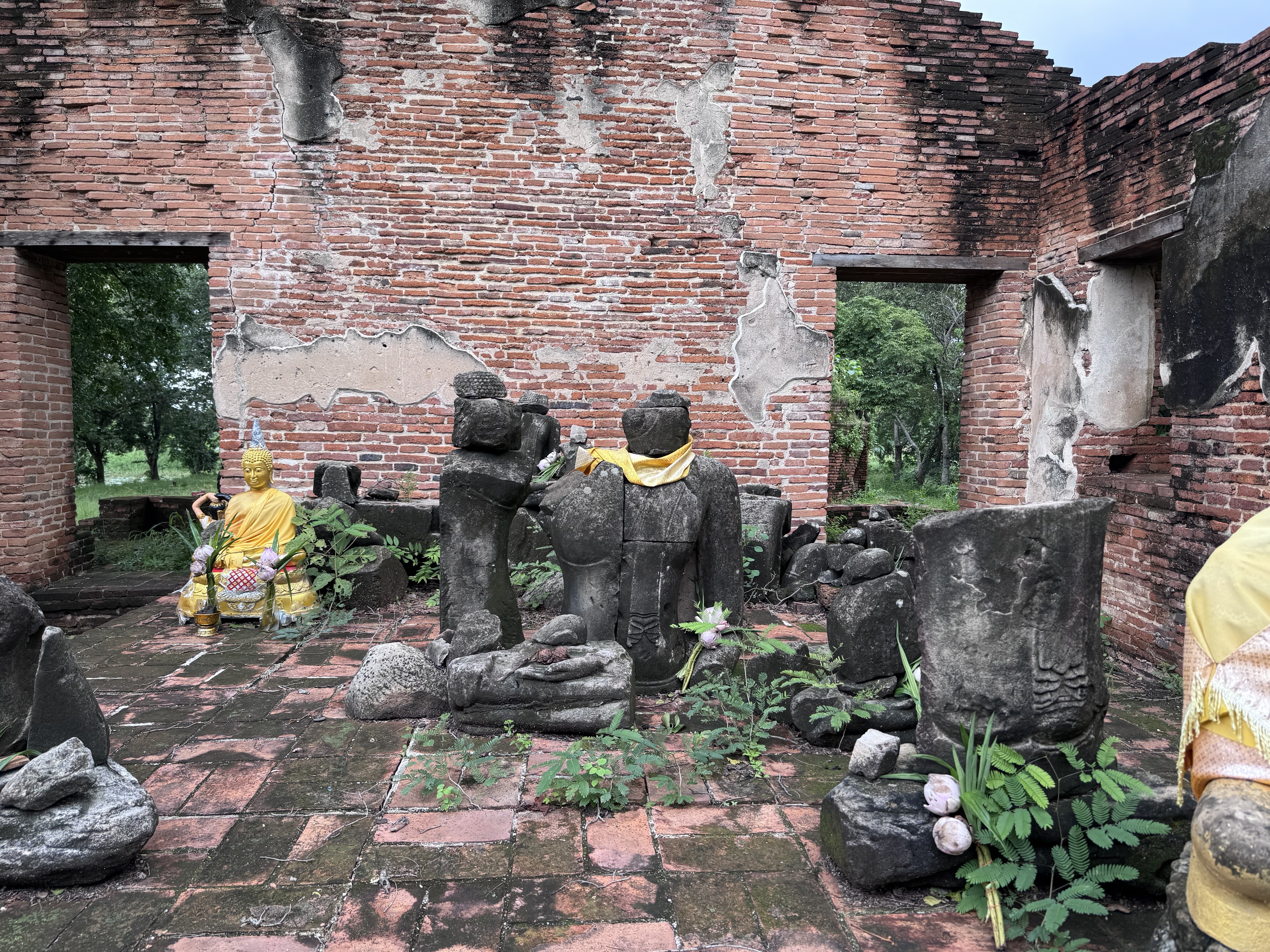
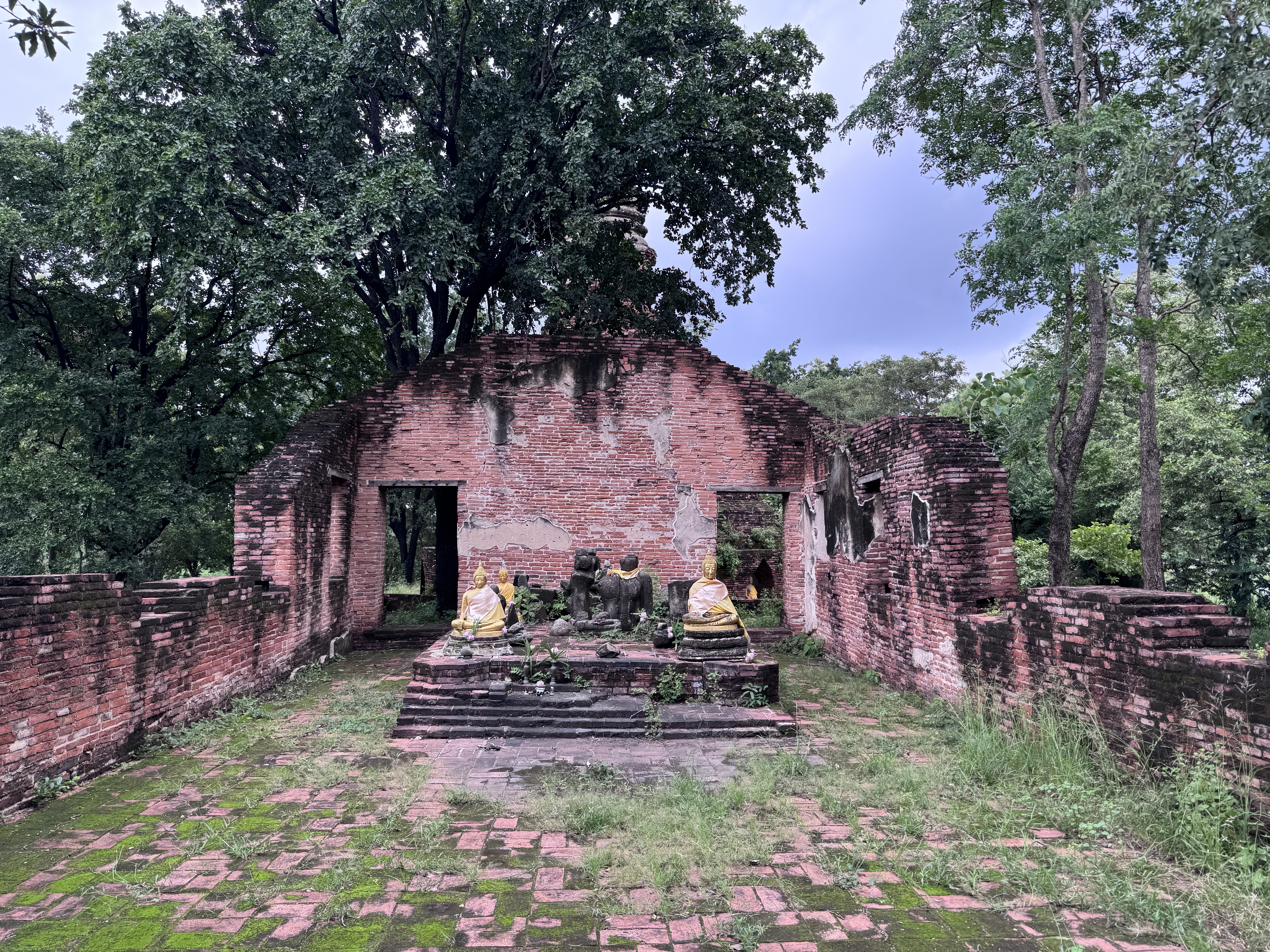
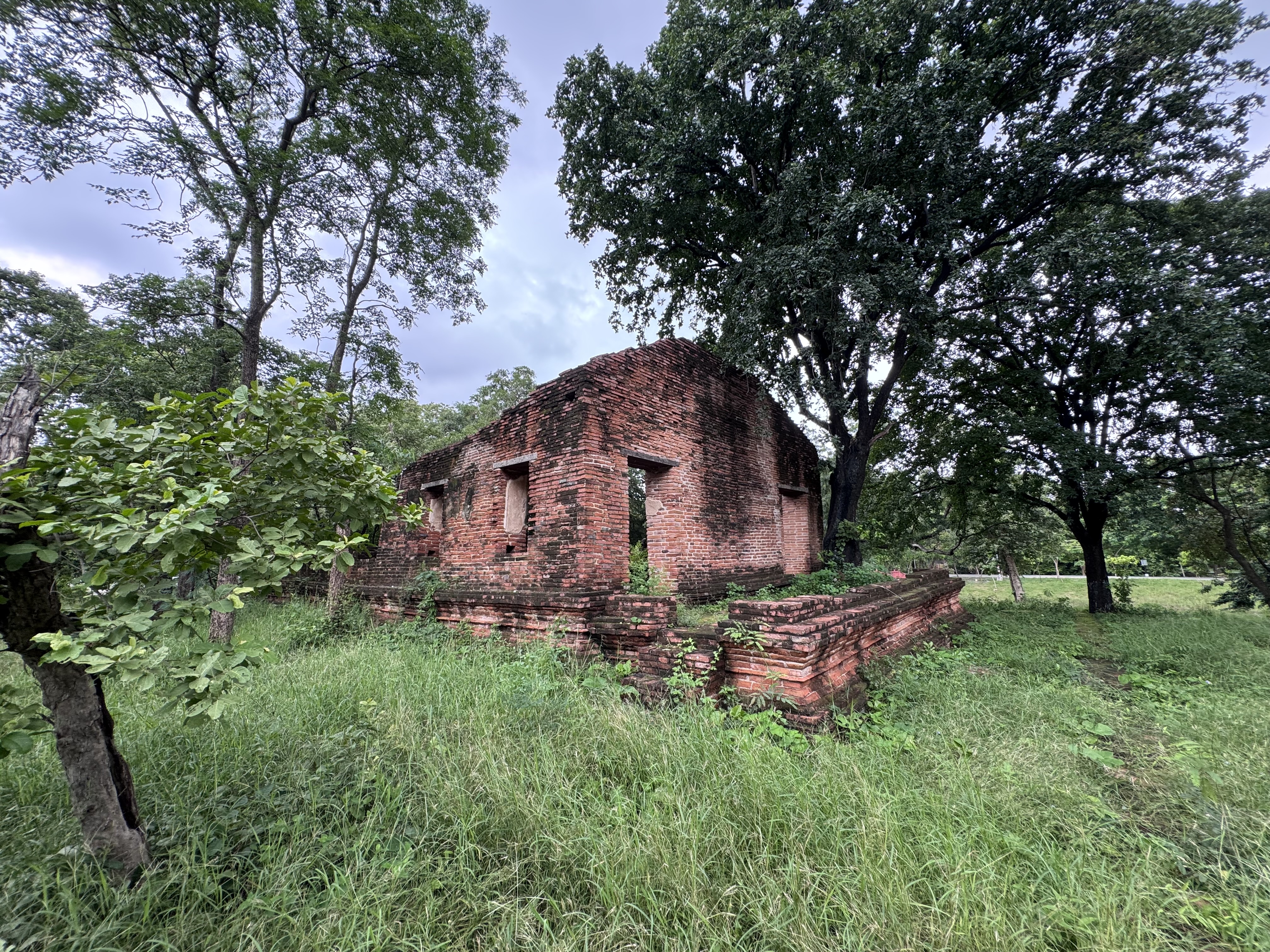
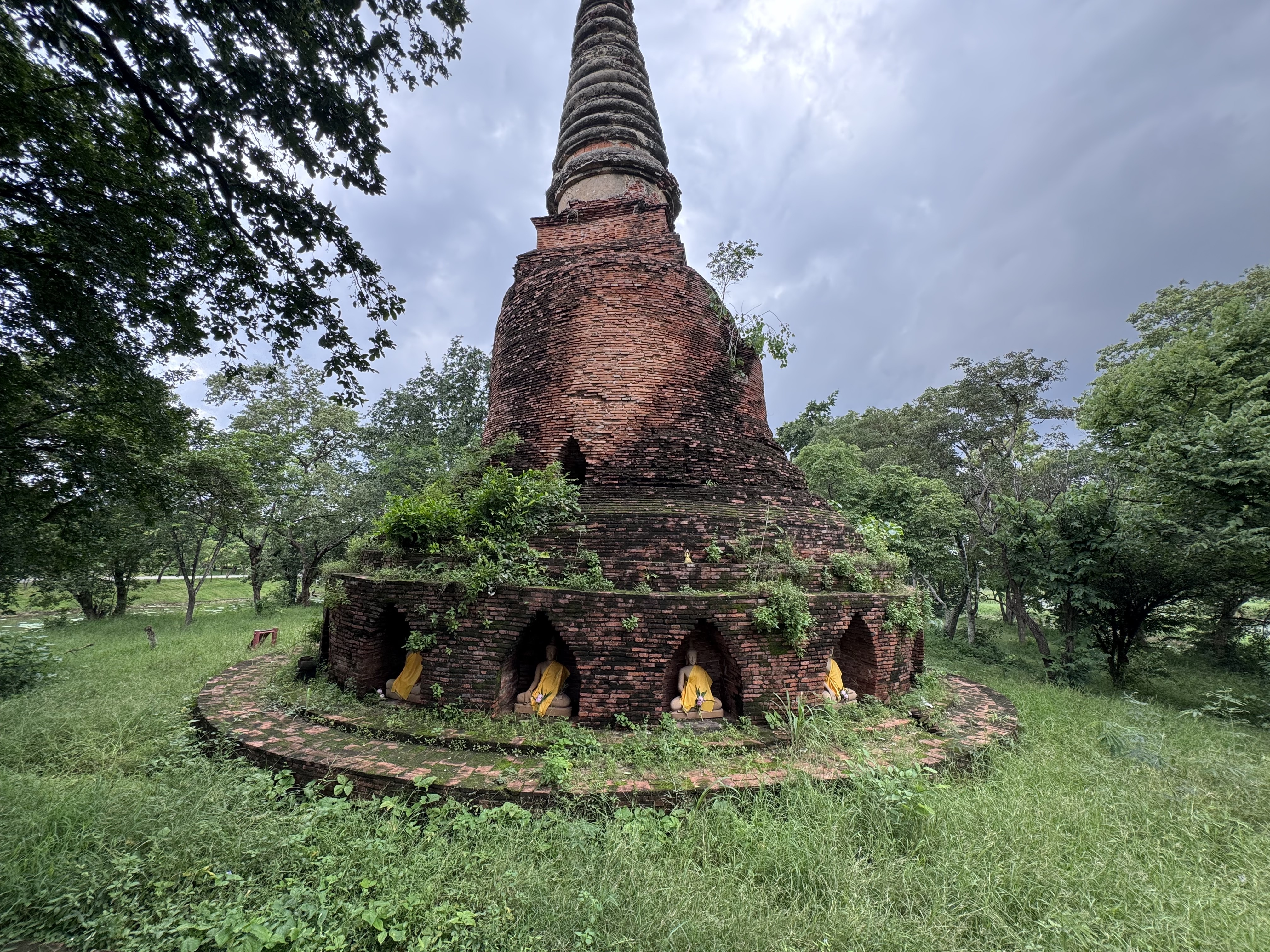
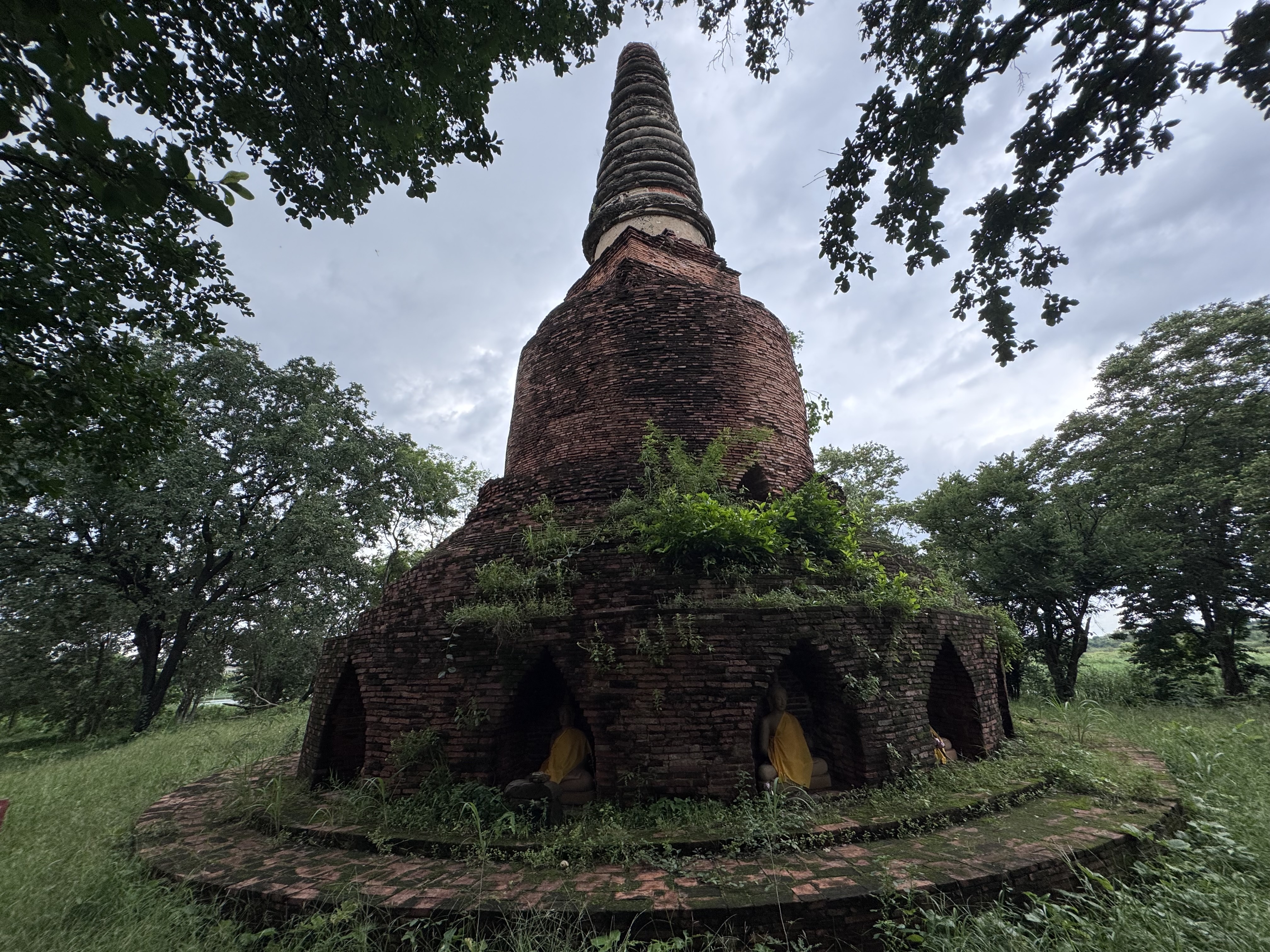
Wat Sika Samut (วัดสีกาสมุด), also rendered as Wat Sika Samud, is a small ruined Buddhist temple located outside the historic city island of Ayutthaya in the eastern area. It sits just north of the more prominent restored ruin of Wat Maheyong.
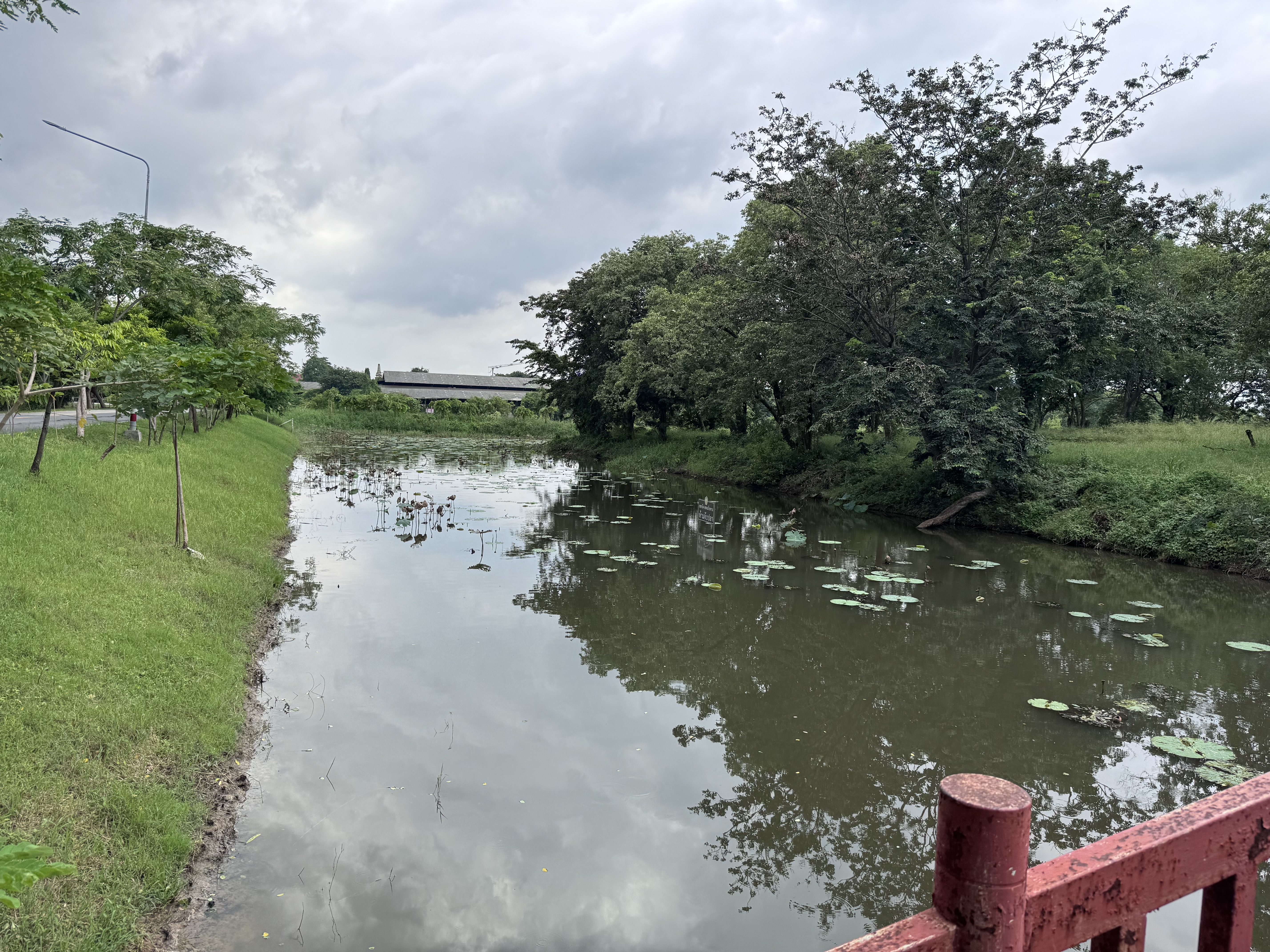
The site occupies a raised mound enclosed by a moat, giving it the appearance of a small island. According to descriptions from the Fine Arts Department, this surrounding water served as an udaka sema (or utoka sima), a water boundary marking the sacred precinct for religious rites in the Lankawong Buddhist tradition, where water symbolizes purity and the enclosed space evokes Mount Meru rising from the cosmic ocean.
No contemporary historical documents record the temple’s founding or builder, so its origins remain obscure. Archaeological and architectural evidence places its construction in the Early Ayutthaya period, roughly between 1351 and 1488, contemporaneous with nearby Wat Maheyong.
The principal chedi shows stylistic links to ...
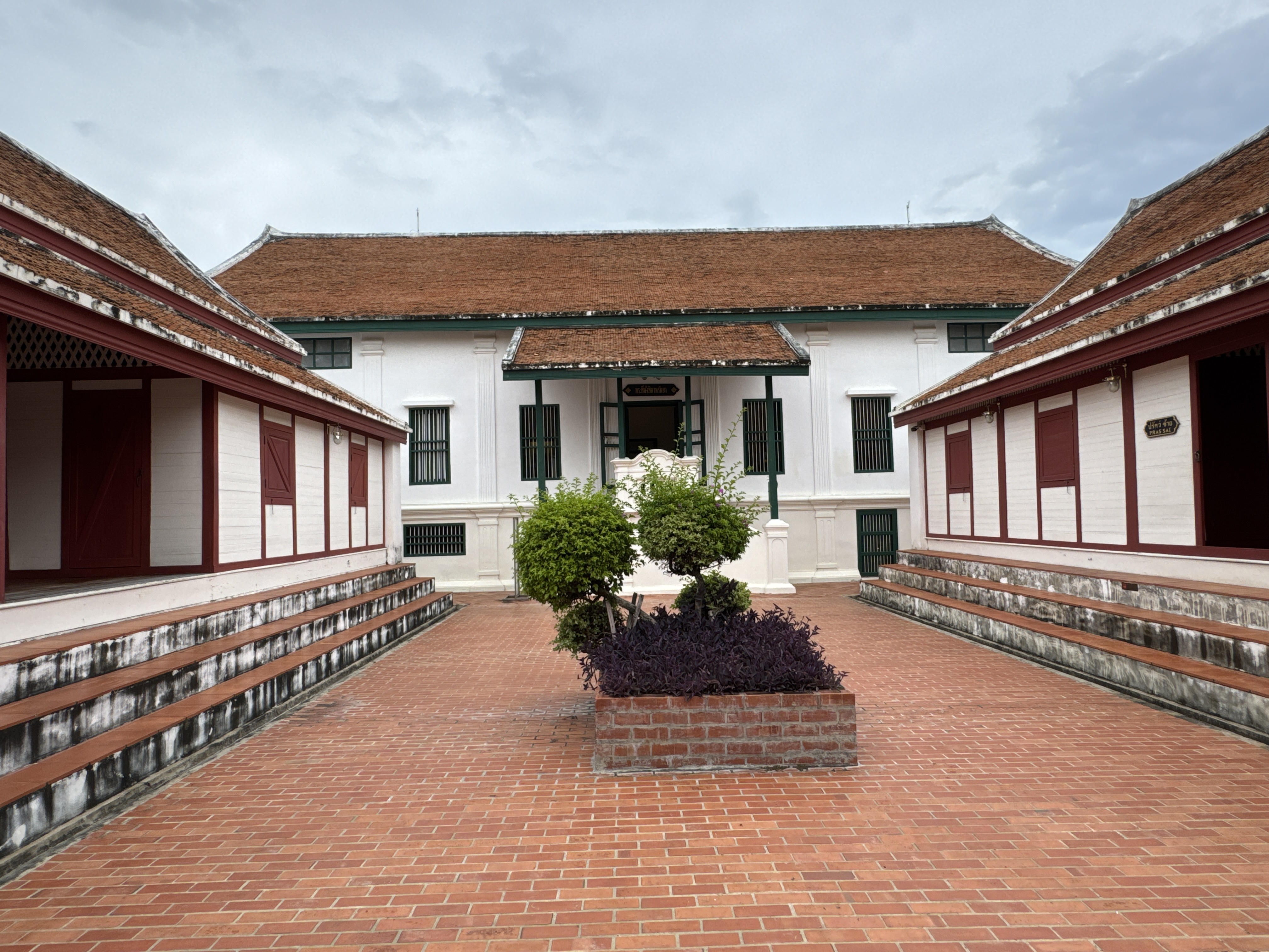
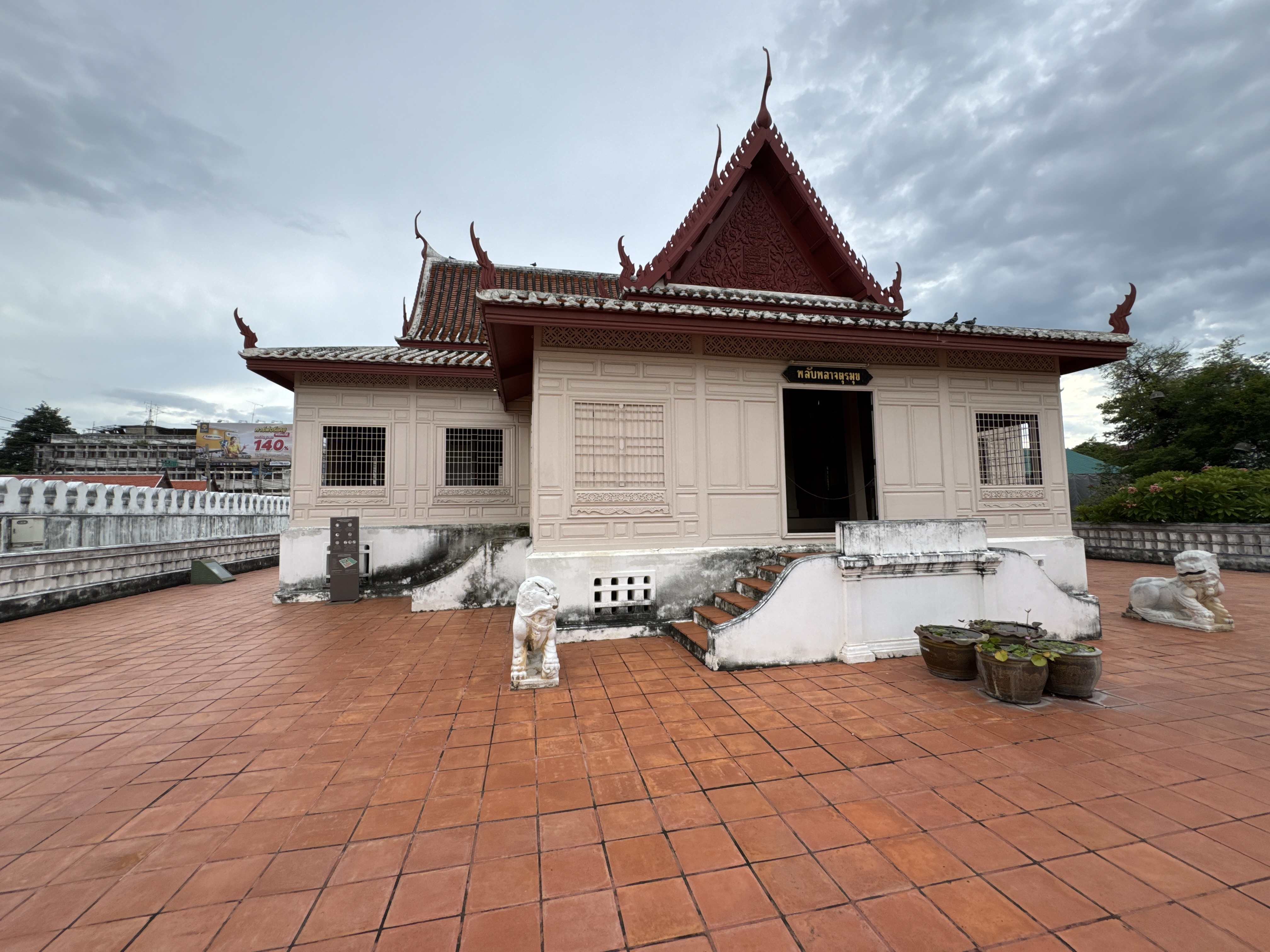
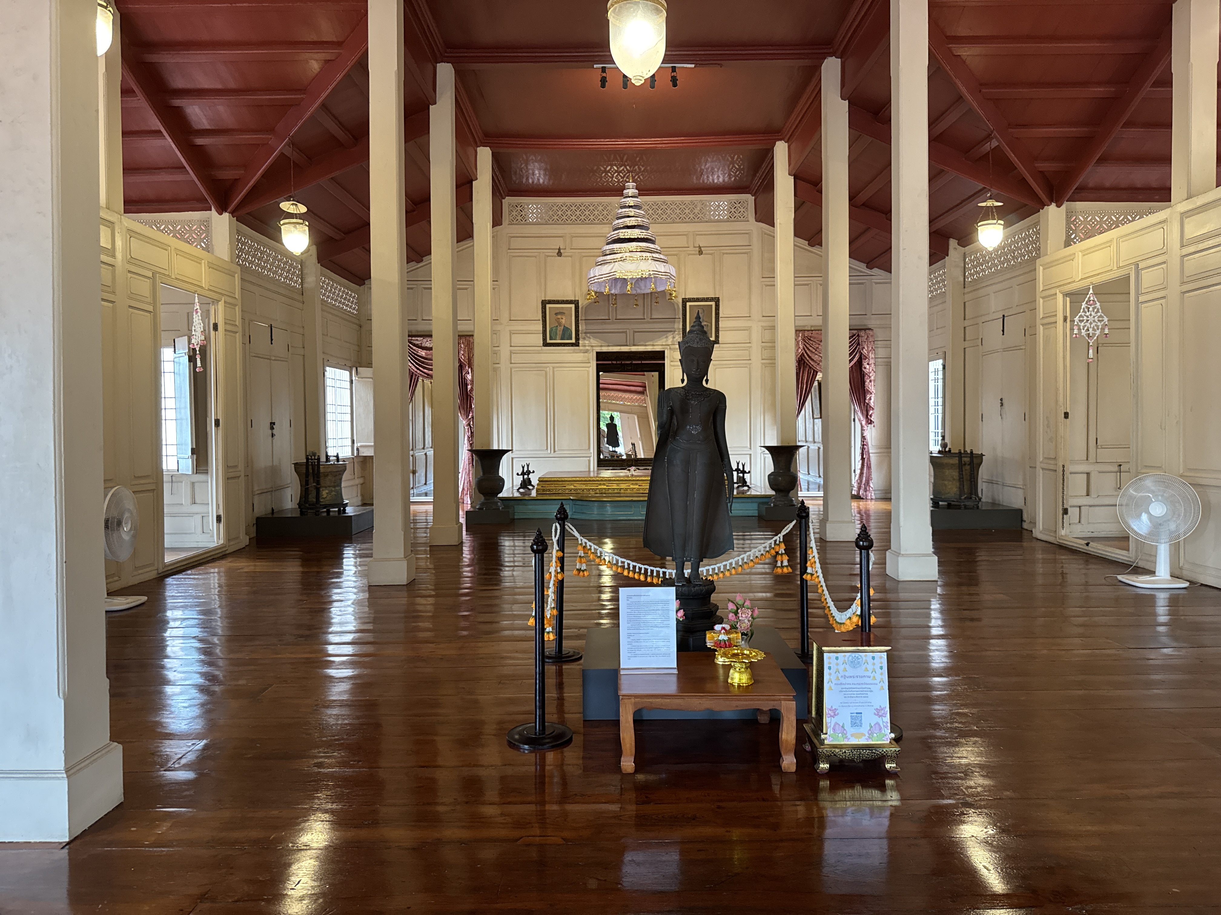
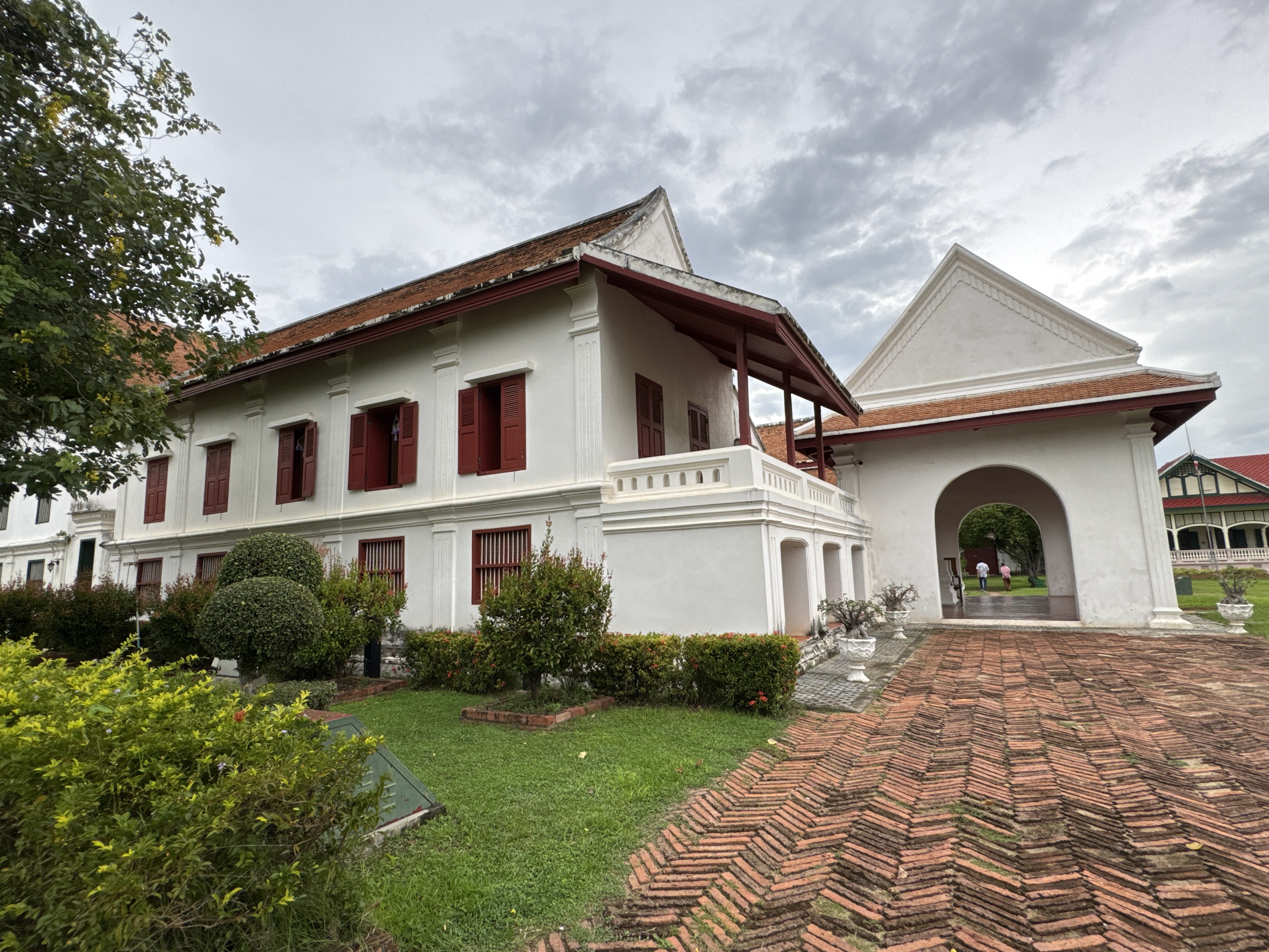
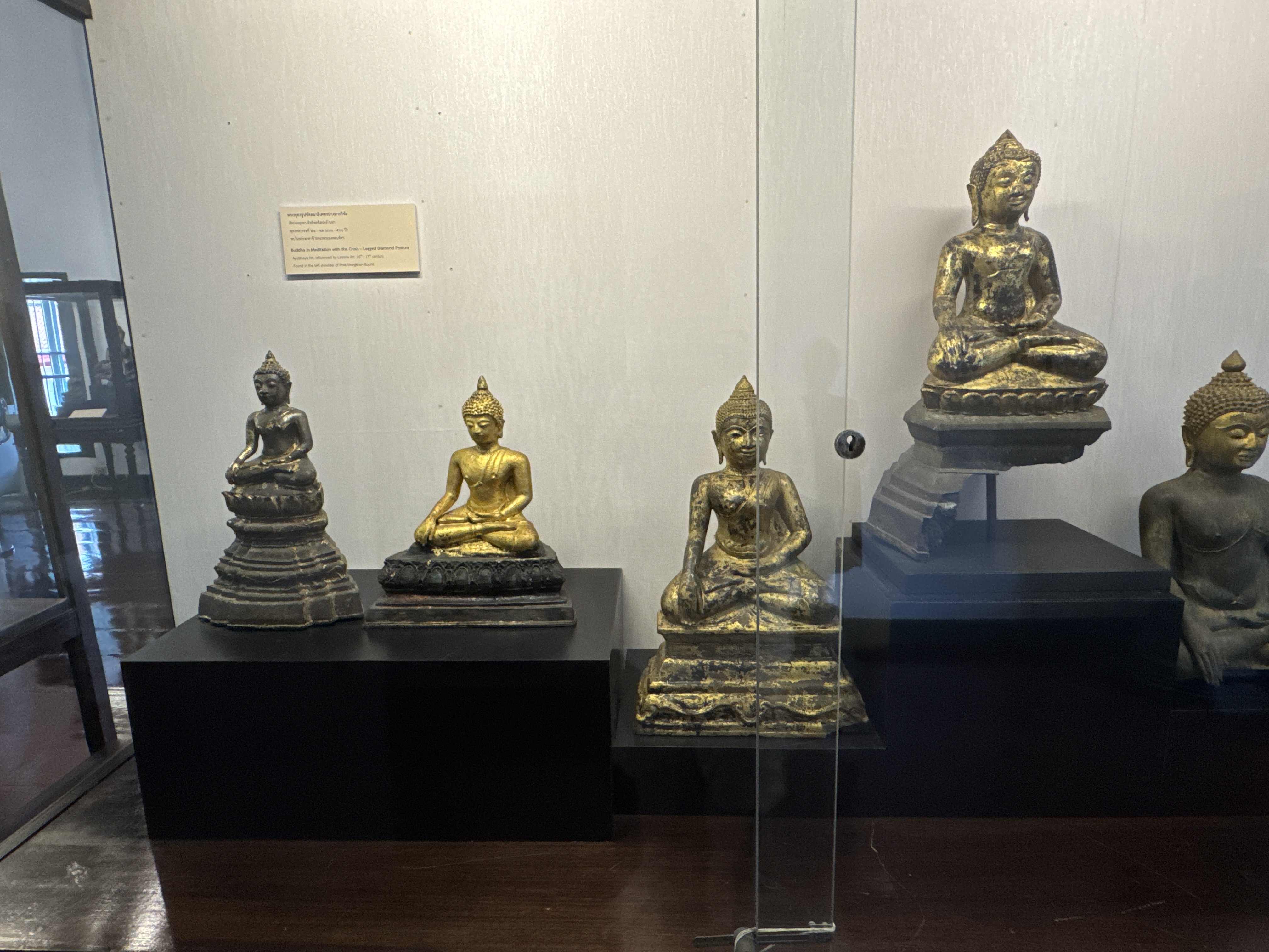
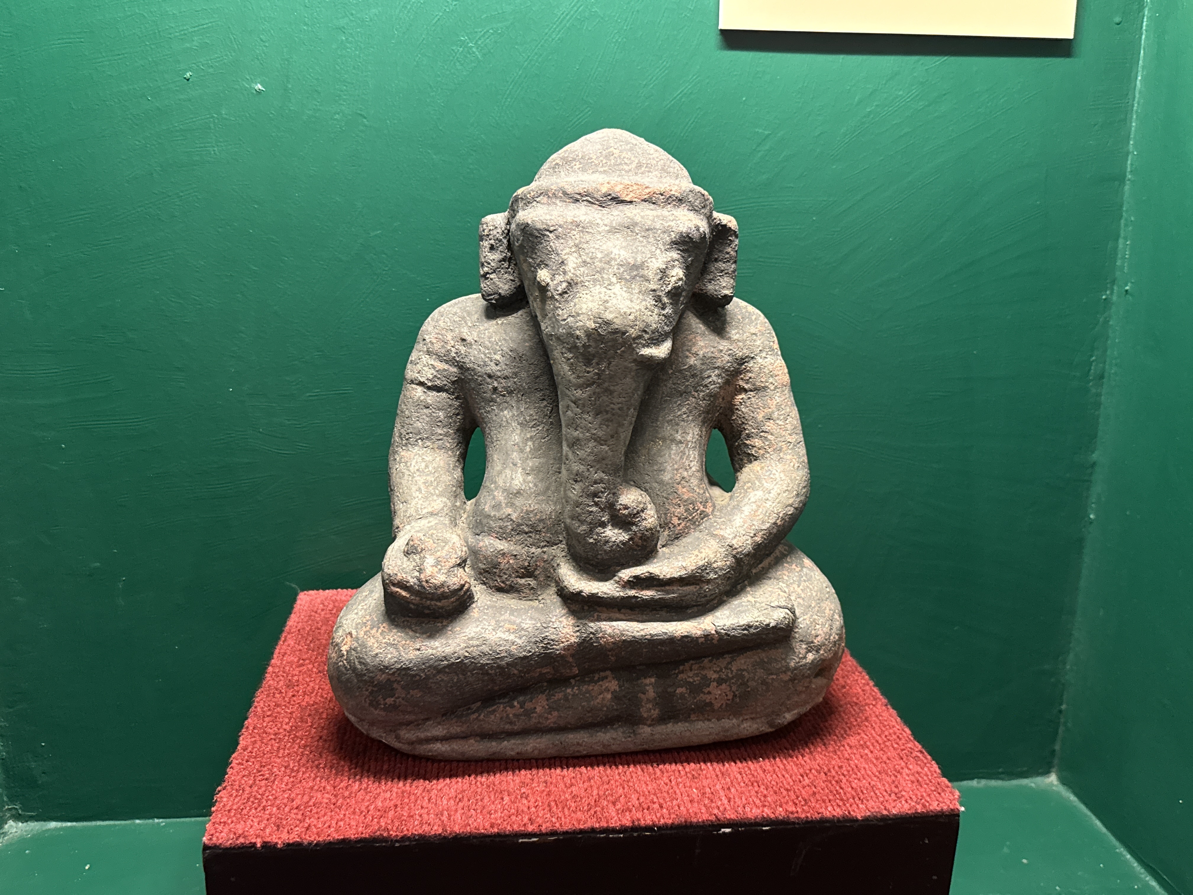
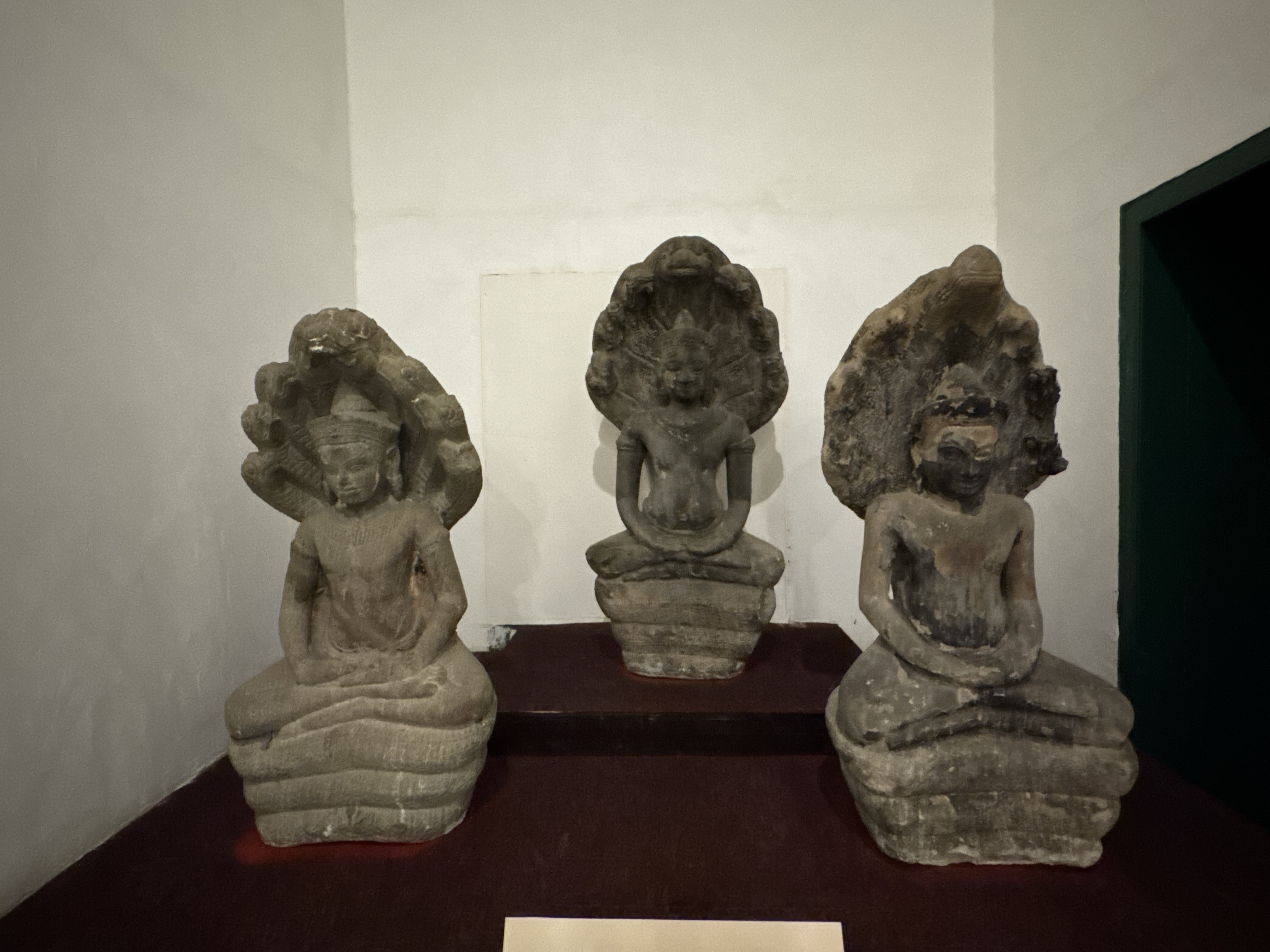
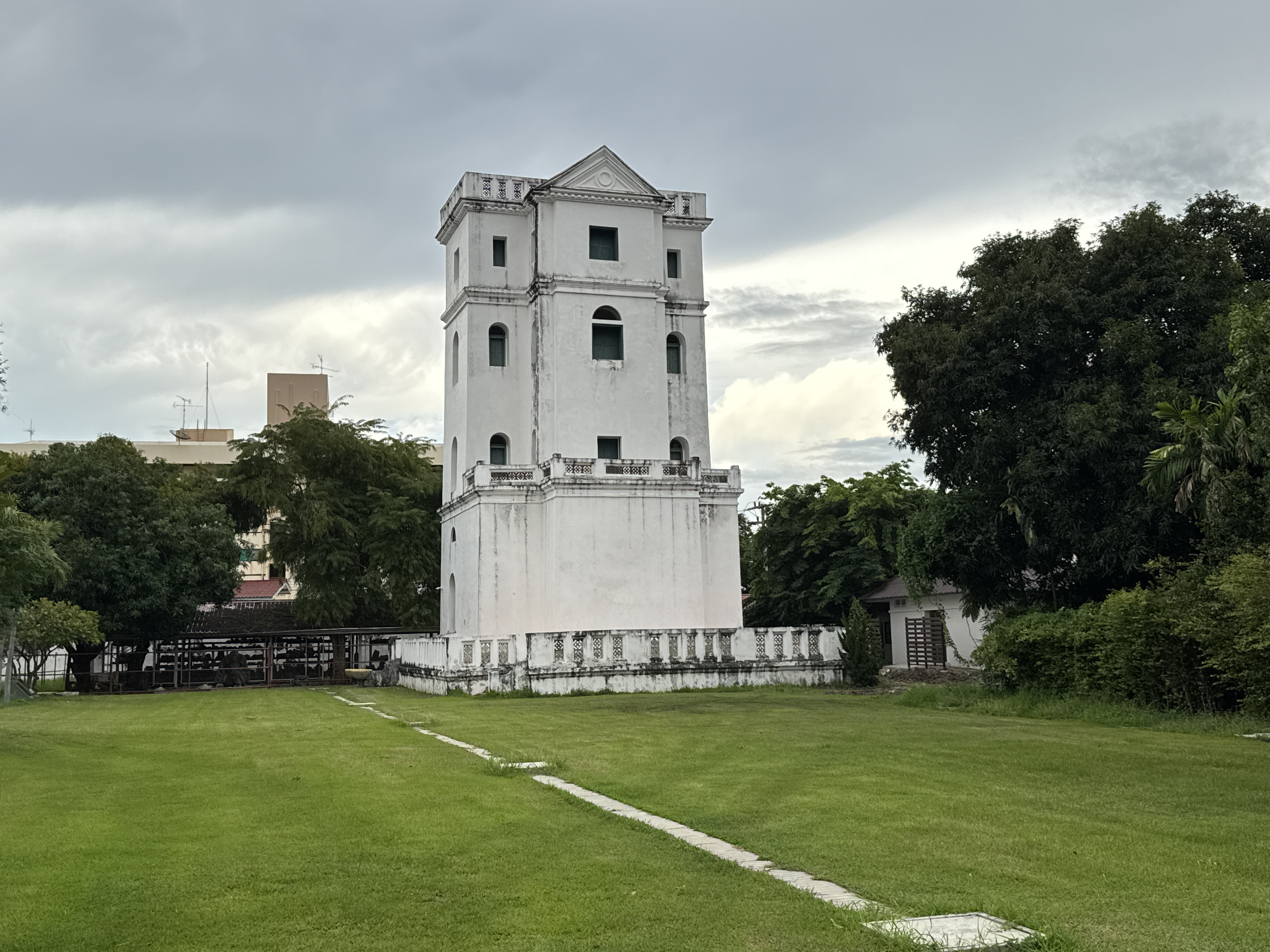
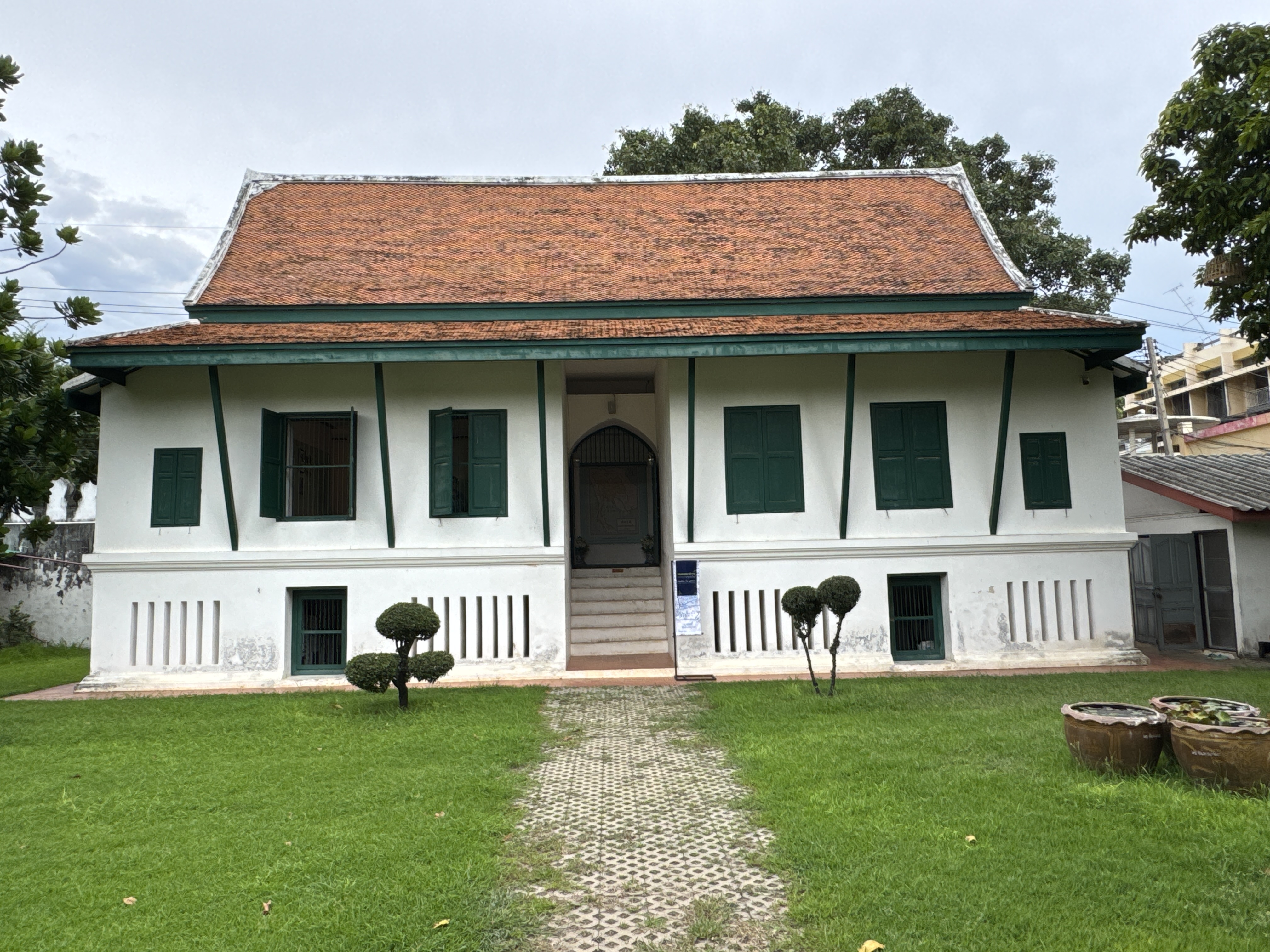
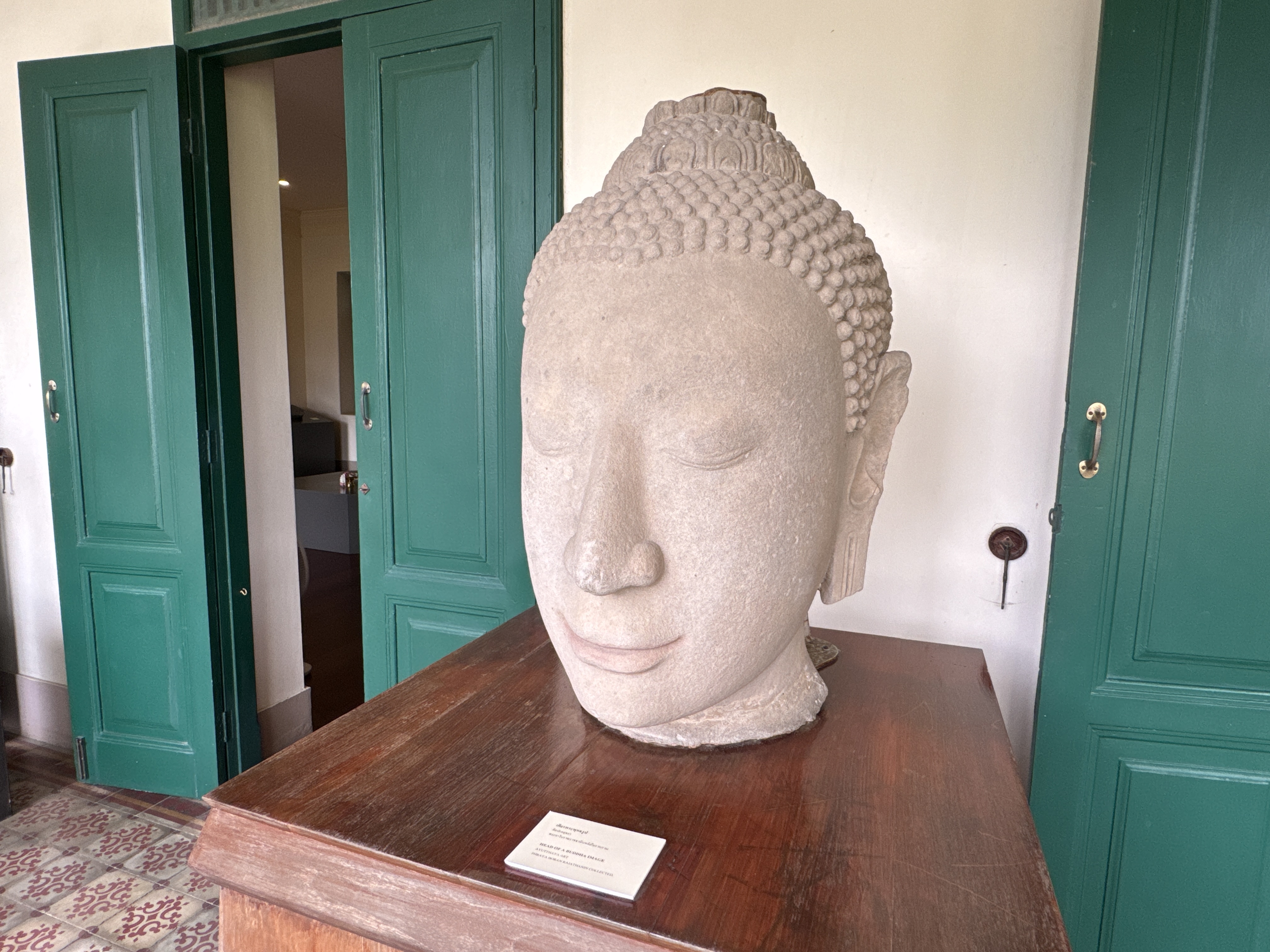
Chankasem or Front Palace National Museum Ayutthaya.
Chankasem Palace was built during the reign of King Maha Thammaraja, the 17th King of the Kingdom of Ayutthaya. During the reign of King Naresuan the Great the Palace became his permanent residence. Chankasem Palace, like the other palaces, was destroyed during the Burmese invasion. It has been renovated and reopened as a museum open to the public on Wednesdays through Sundays from 9.00 a.m. to 4.00 p.m.
Chankasem National museum, Chankasem Palace or Wang na is located in the northeast of Muang island which is near Hua Ro market. According to the historical record, Chankasem palace was built in King Dhamma Racha reign around 1577 in order to be the residence of King Naraesuan Maharacha and was the residence of King Yuparat and many kings.
When Ayutthaya was attacked and seized in 1767, the invaders burnt and destroyed this palace and left it abandonly. Until the reign of King Rama IV of the Rattanakosin dynasty, he commanded to repair of the throne ...