

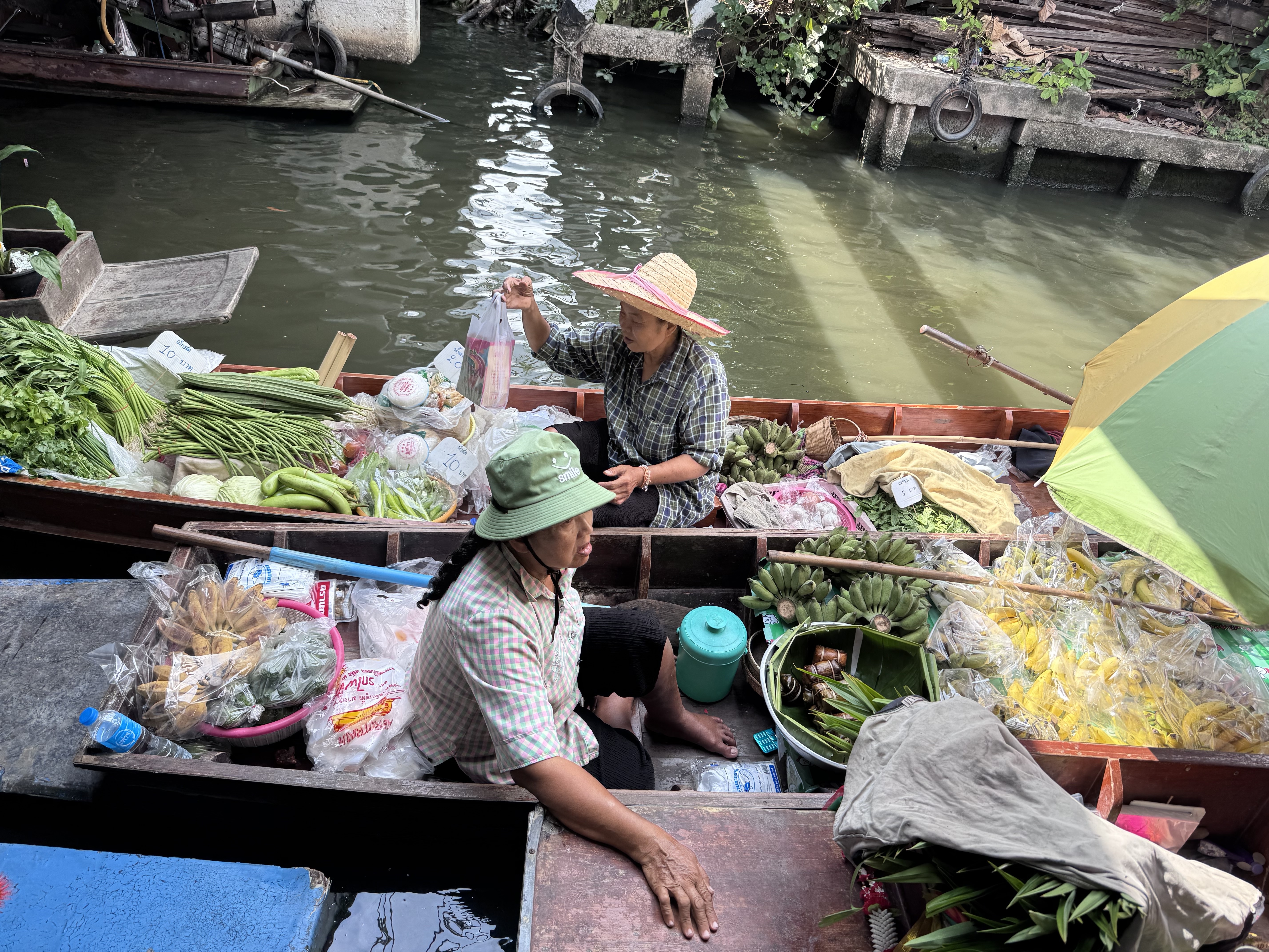
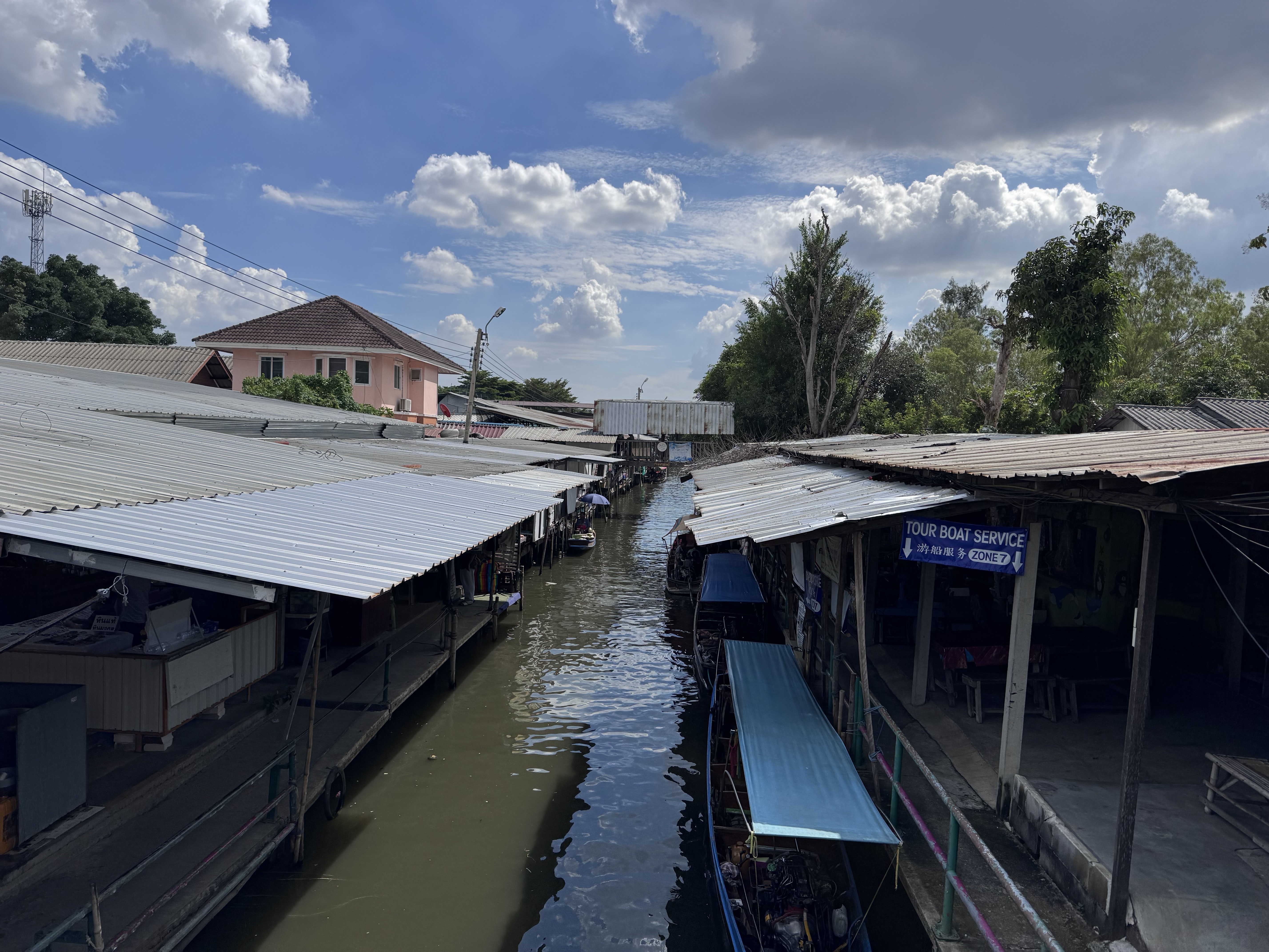
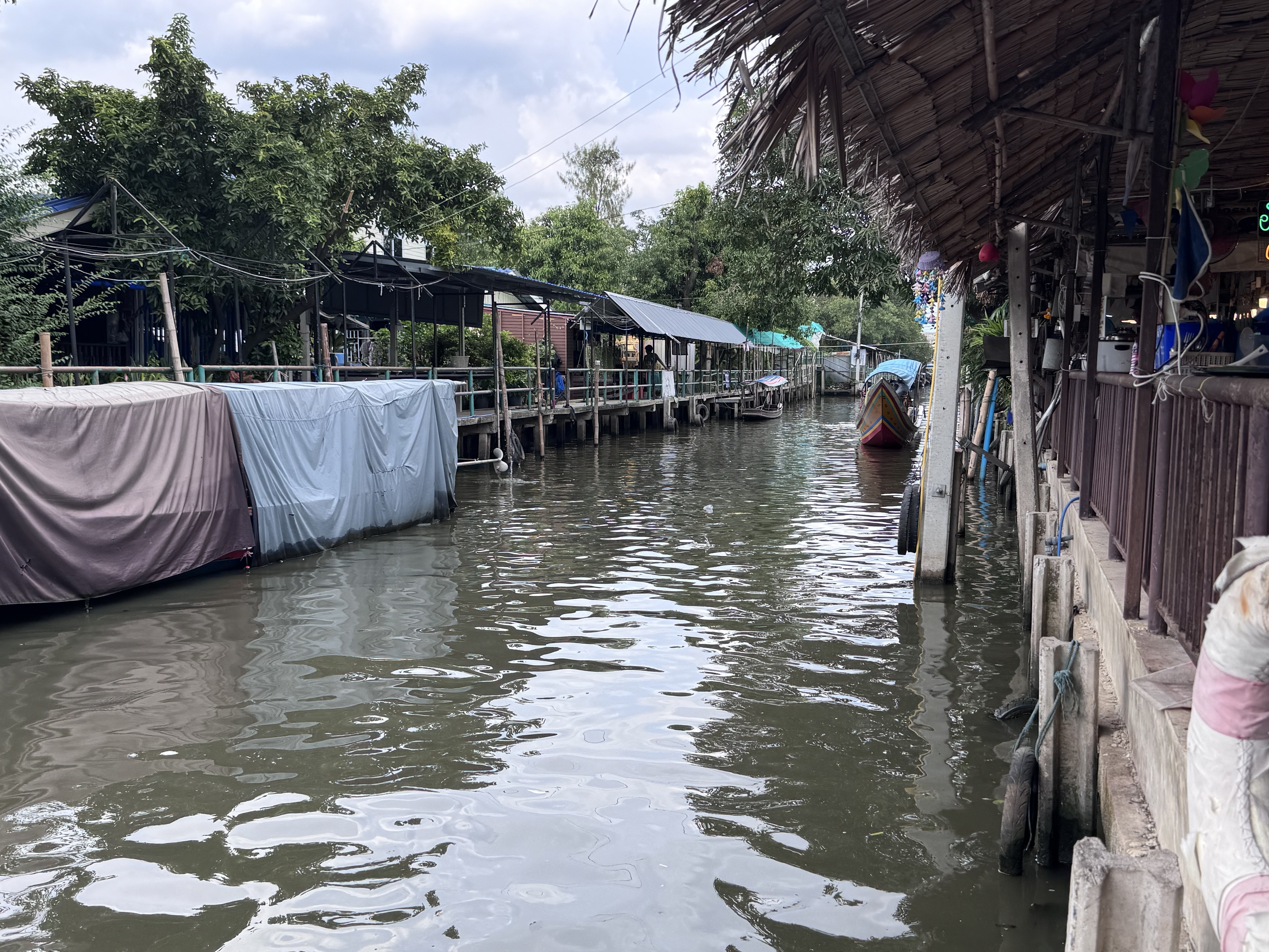
Bang Nam Phueng Floating Market ตลาดน้ำบางน้ำผึ้ง is in Bang Nam Phueng Subdistrict, Phra Pradaeng District, Samut Prakan Province adjacent to Wat Bang Nam Phueng Nai temple and considered as a part of Bang Kachao, a nice area on a bend of the Chao Phraya River.
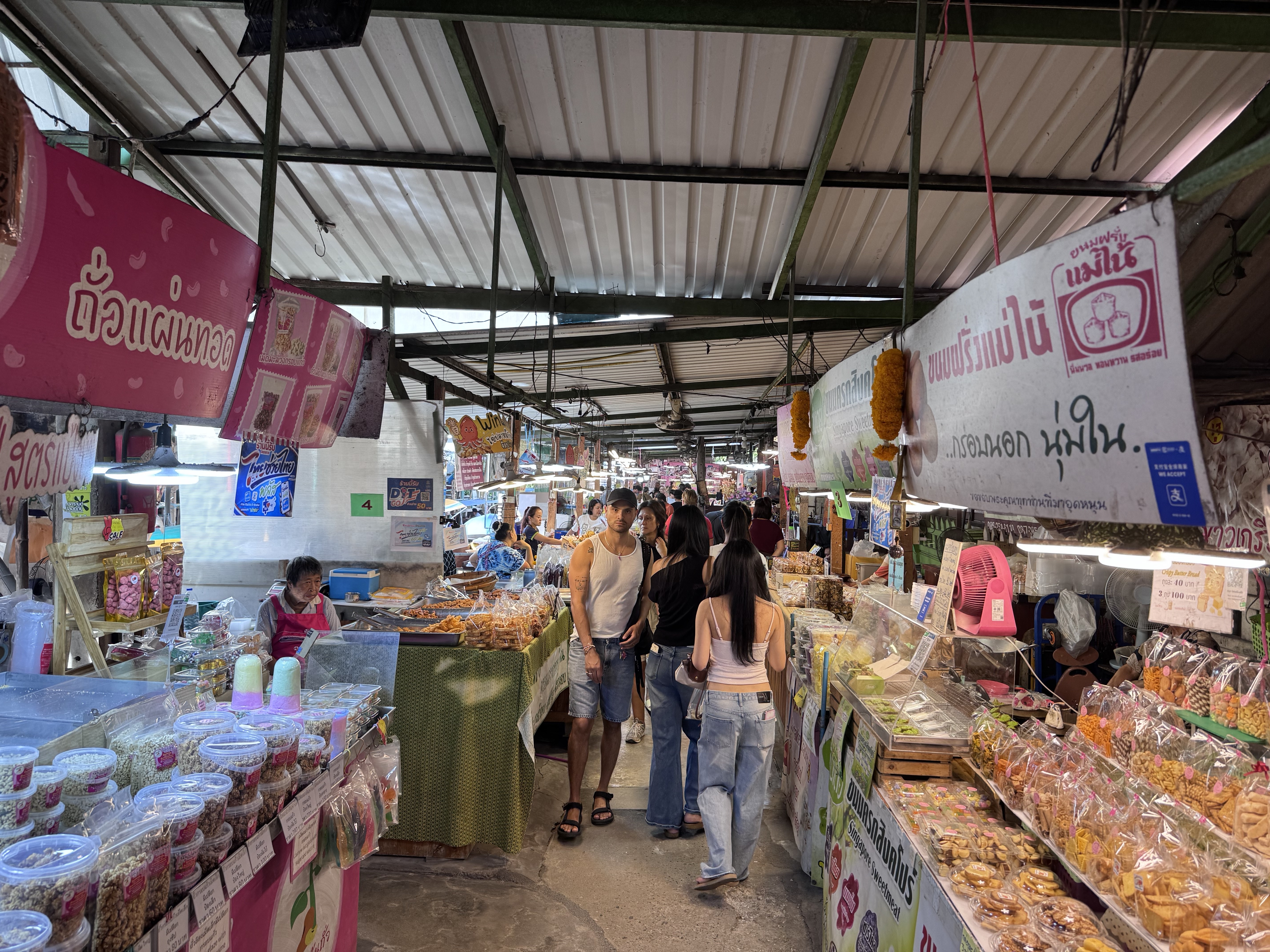
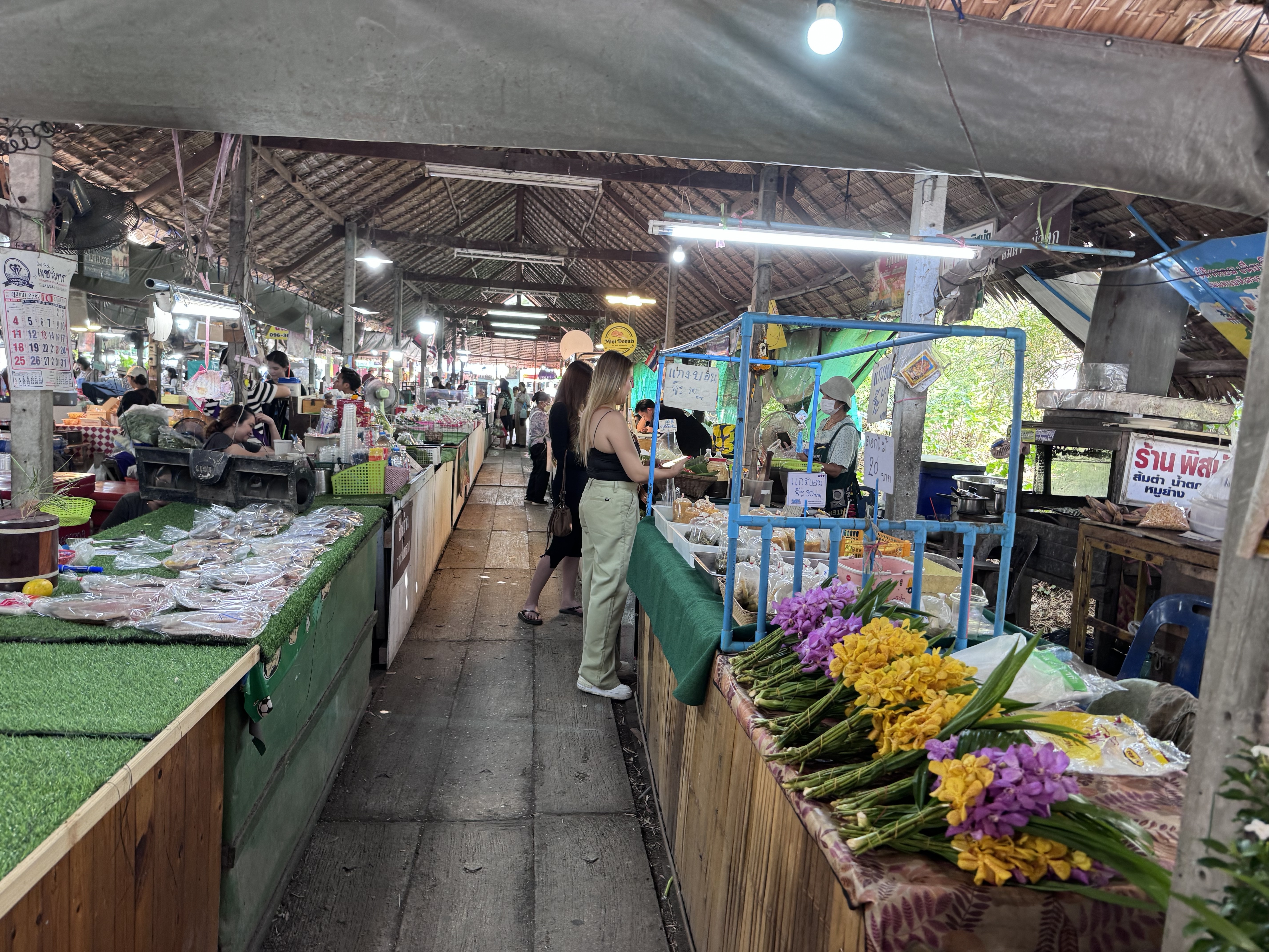
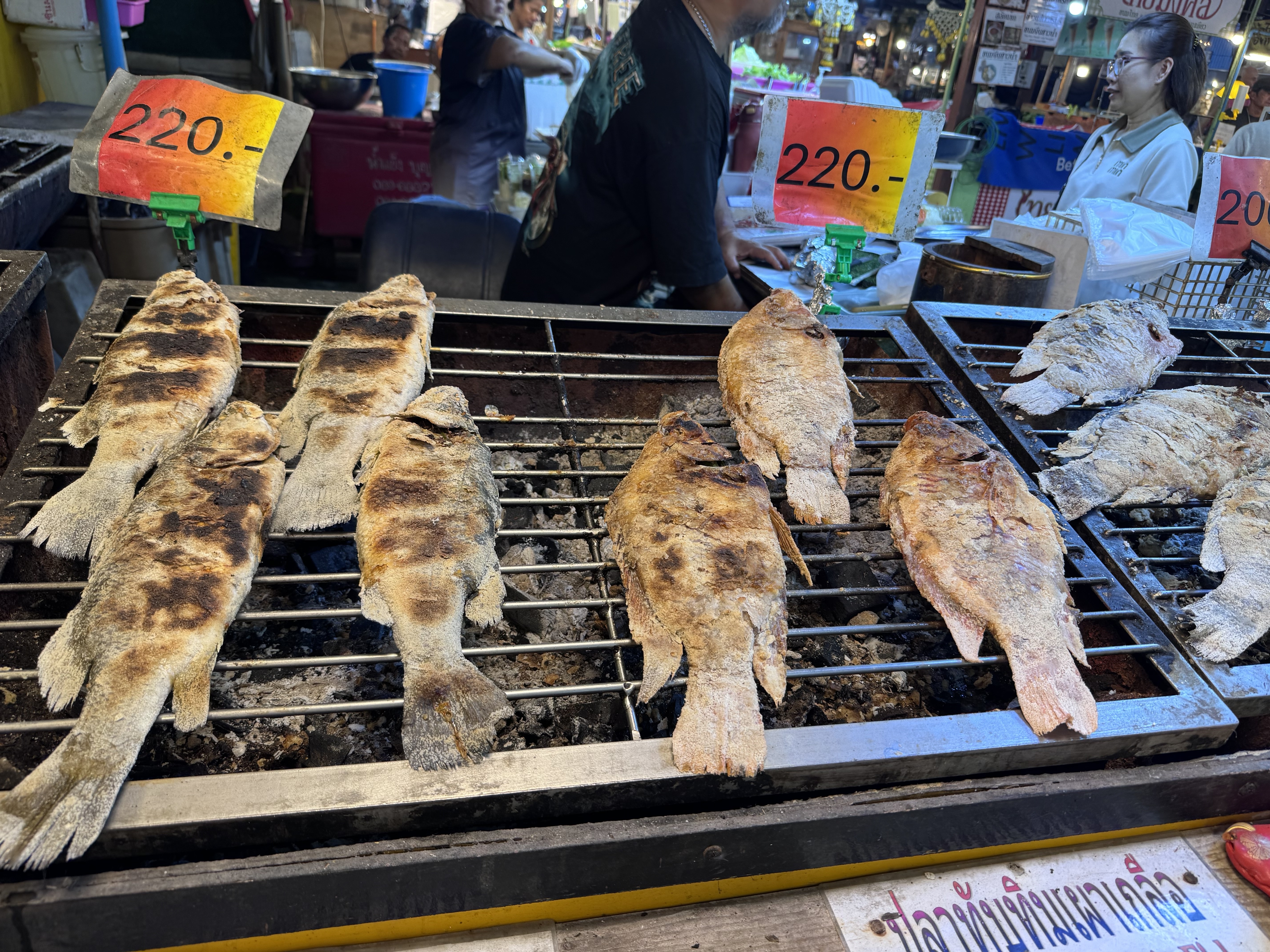
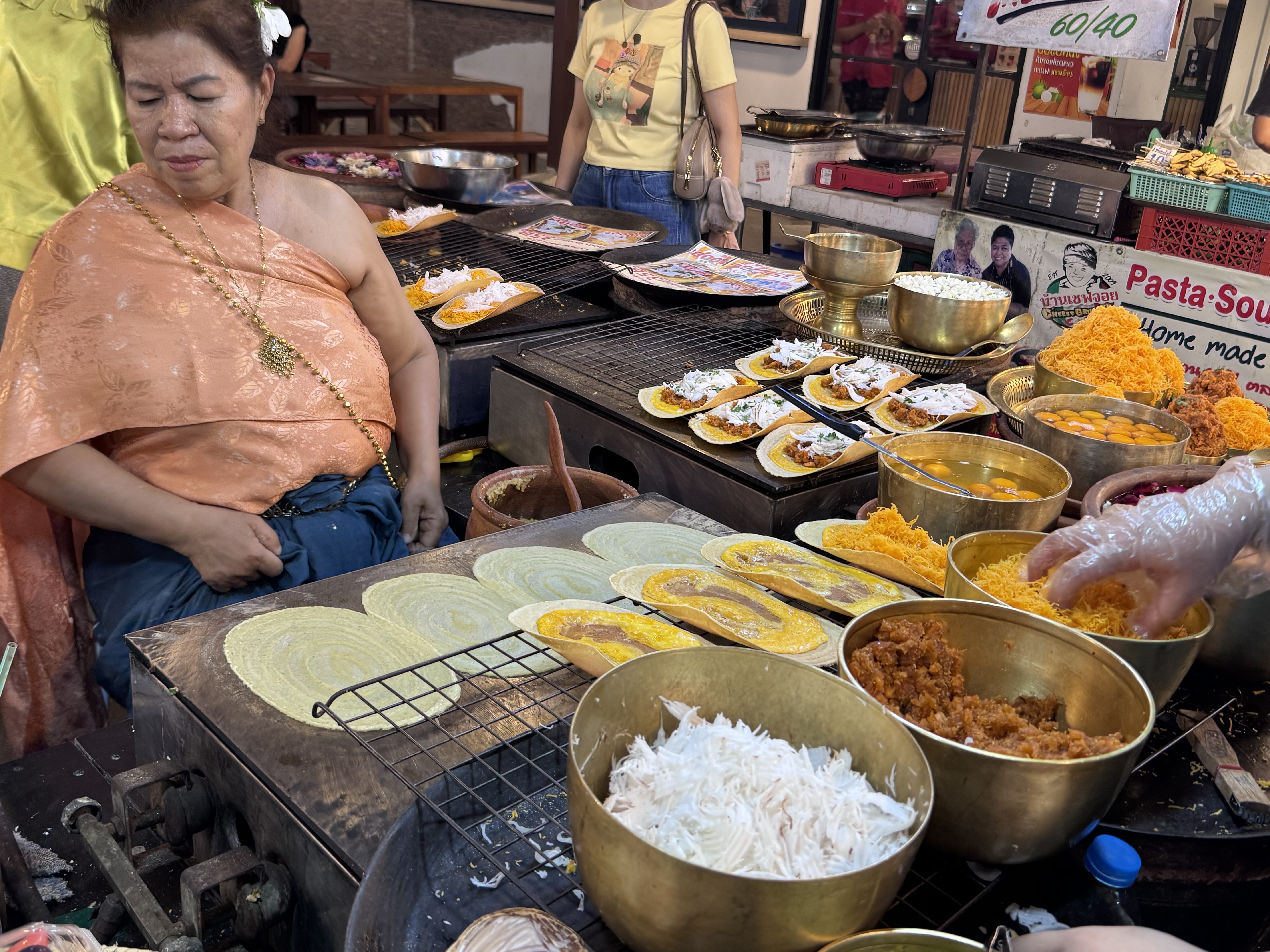
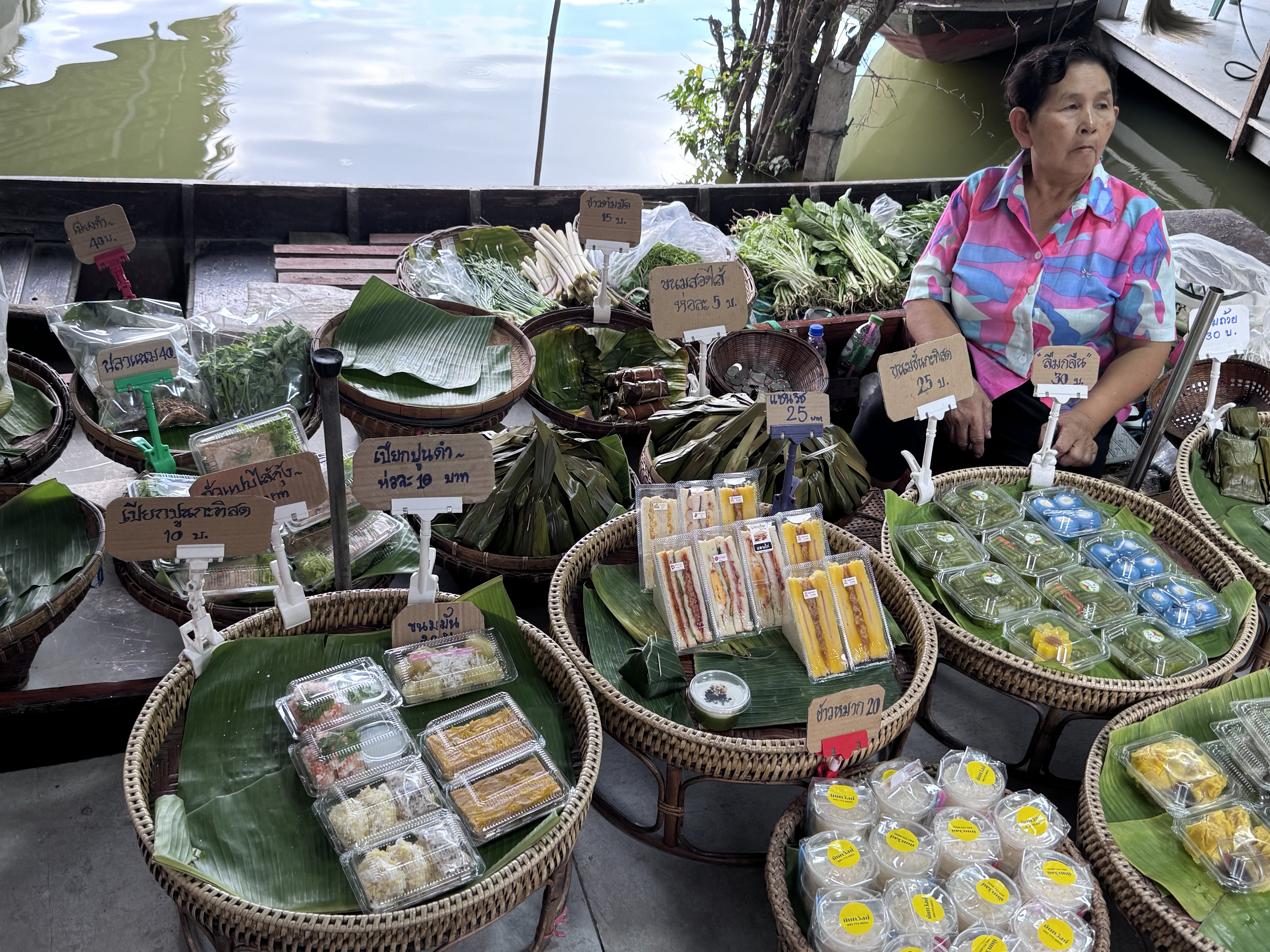
The market was inaugurated in 2004 by the local subdistrict authority to help locals move an oversupply of agricultural products. Its vendors limited to people from the community. The market is on a canal surrounded by a residential neighborhood. Products include commercial crops such as fruits and sweets, noodles, processed food, sea shells, dried shrimp, pickled shrimp, desserts, grain cakes, and fruit.
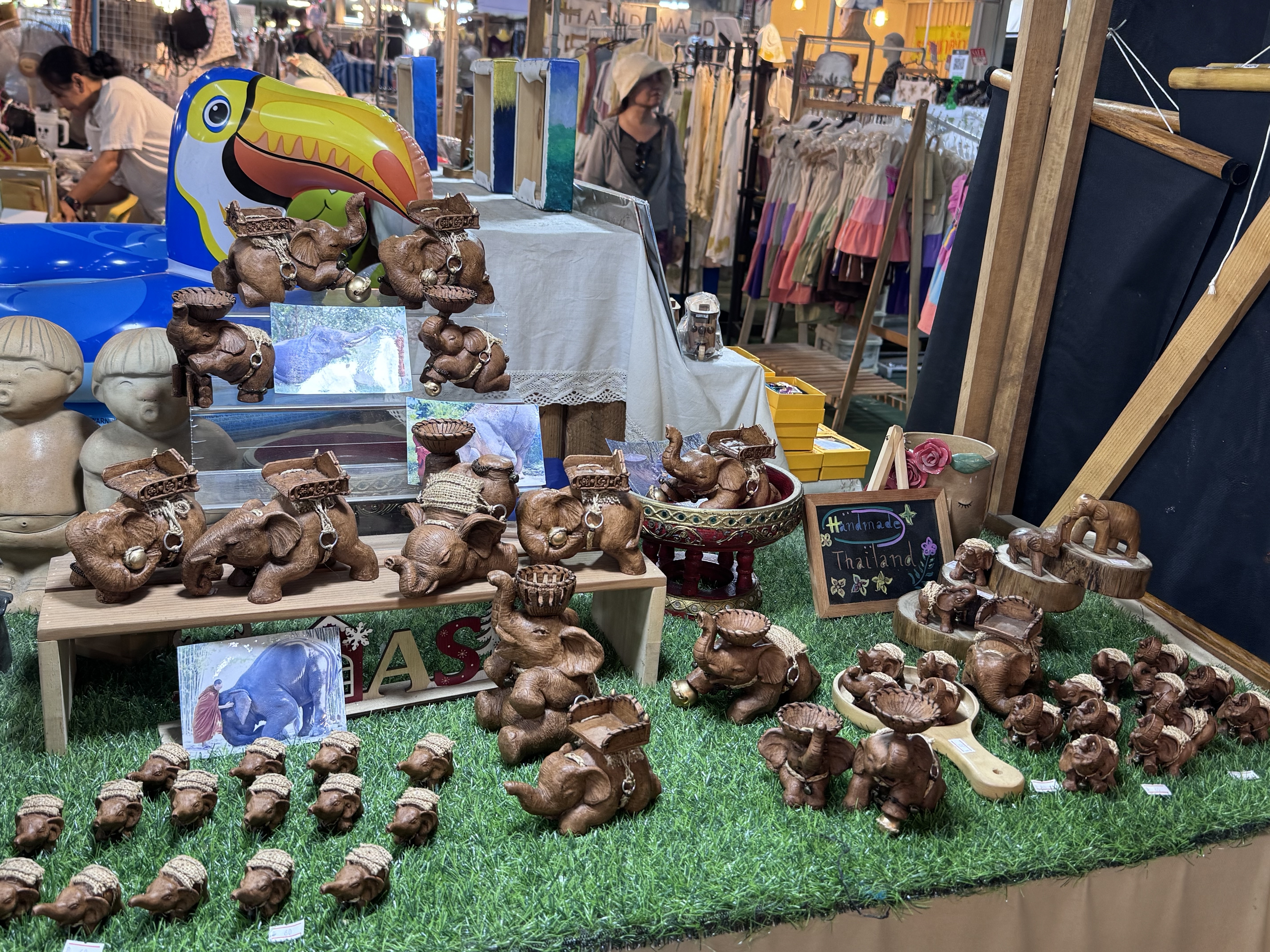
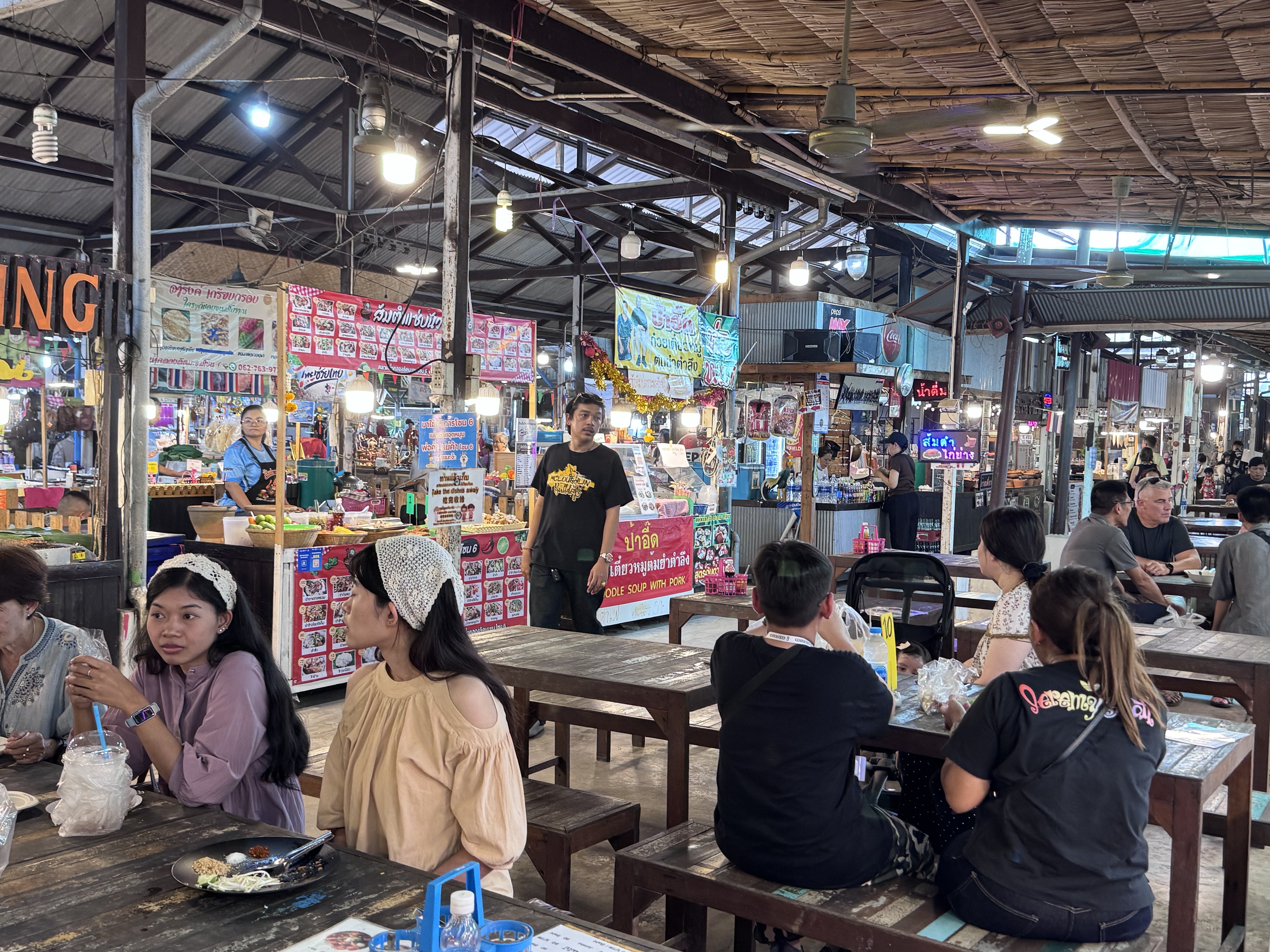
With a seemingly endless variety of snacks and Thai food as well as souvenirs it’s a great place for anyone to visit. Open on the weekends and being very near the center of Bangkok it’s easy to get to and you can make it part of a day trip by visiting other sites like the park in Bang ...


Khlong Lat Mayom Floating Market sits along a quiet canal in Taling Chan on Bangkok’s Thonburi side, roughly half an hour from the city center. Its name comes from the khlong, or canal, and the mayom fruit, the star gooseberry that once grew abundantly in the surrounding orchards. Unlike the heavily photographed tourist markets farther out, this one feels more like a neighborhood gathering place where Thai families come on weekends to eat, shop for produce, and take short boat rides through the green waterways.
The area’s history reaches back to the Ayutthaya period, when the fertile alluvial soils and dense network of rivers made Taling Chan ideal for fruit plantations. Canals such as Khlong Bang Ramat, Khlong Bang Phrom, and others formed a watery web that supported daily life and trade for generations.
By the mid-1990s rapid urbanization brought new roads, construction, and pollution. The once-clean canal filled with garbage, agricultural land lost value relative to housing development, and many ...
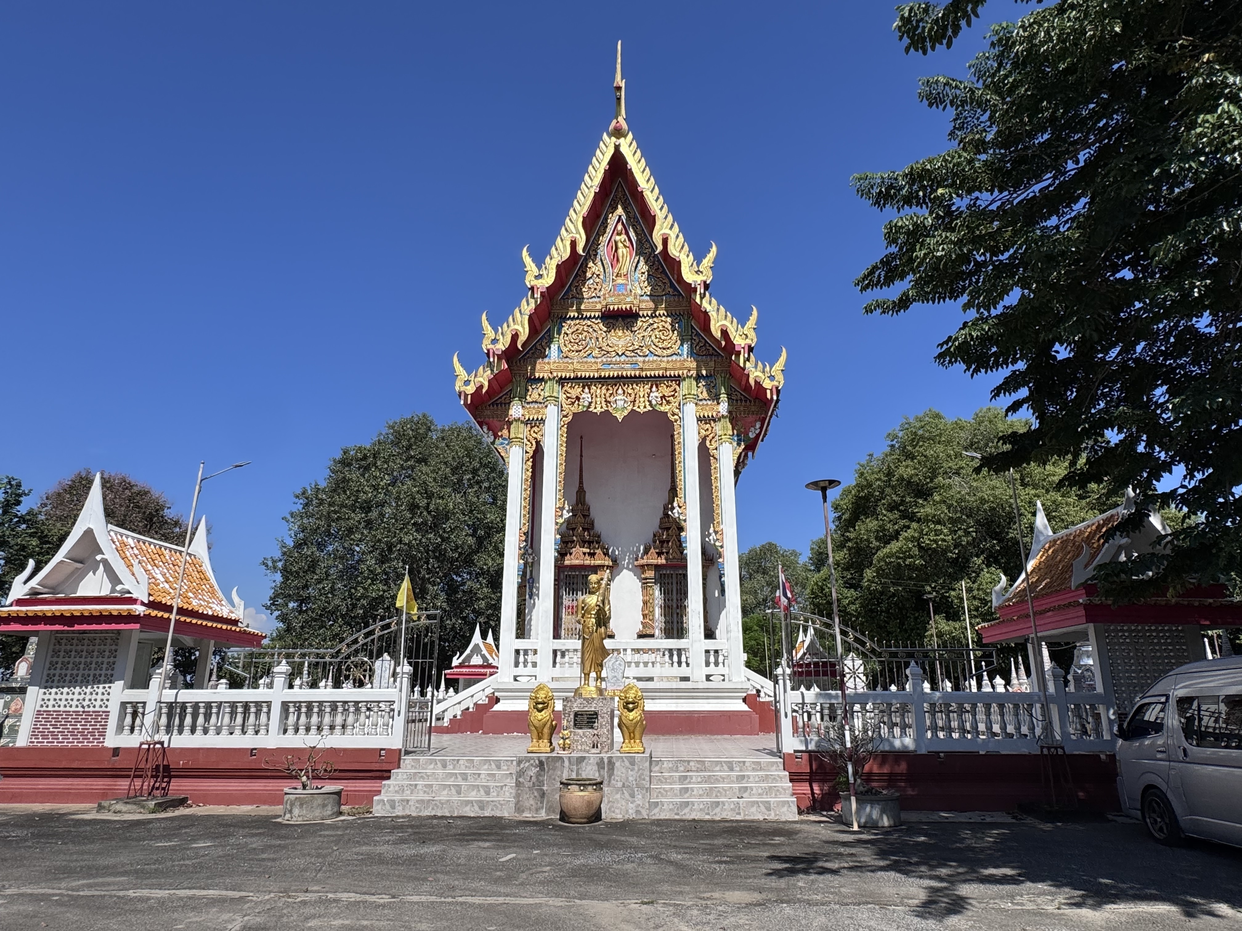
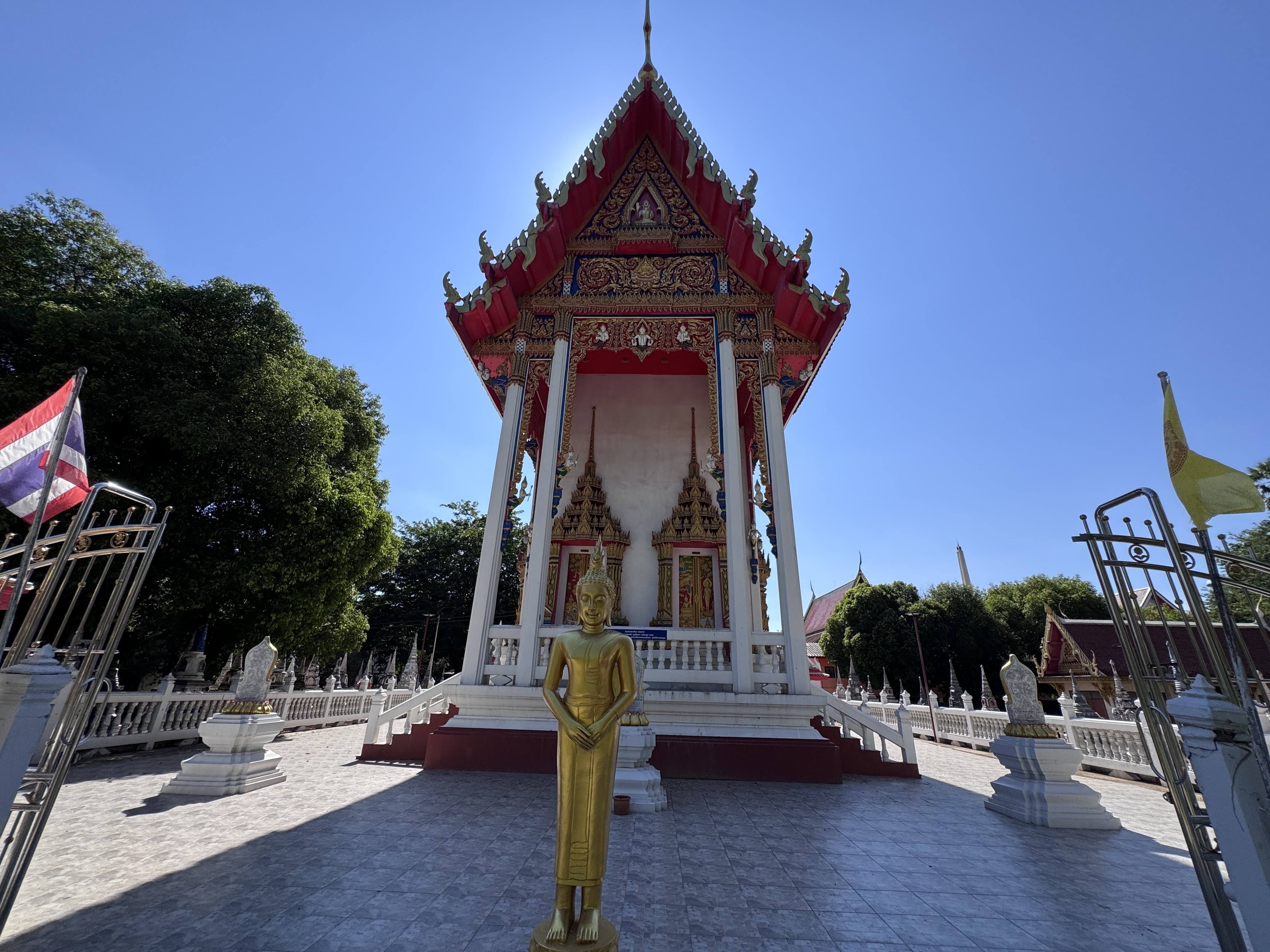
Wat Muang, the Purple Monastery, stands as an active community temple north of the old city island. Its name derives from the earlier village of Ban Muang that occupied the same ground, a common pattern in Thai rural naming where the local monastery takes its identity from the settlement it serves.
The temple sits on land that once lay on the right bank of a meandering stretch of the old Lopburi River. In earlier centuries that waterway curved past the site and continued toward Hua Ro; later road construction severed and silted the channel, though remnants of the former course and the short surviving canal known as Khlong Ban Muang can still be traced in the landscape.
Historical records of the temple’s foundation are sparse and rest largely on oral tradition rather than contemporary documents. The most widely accepted account places its establishment in the early Rattanakosin period, around 1812, with the formal granting of boundary stones two years later in 1814. The ordination hall itself is ...
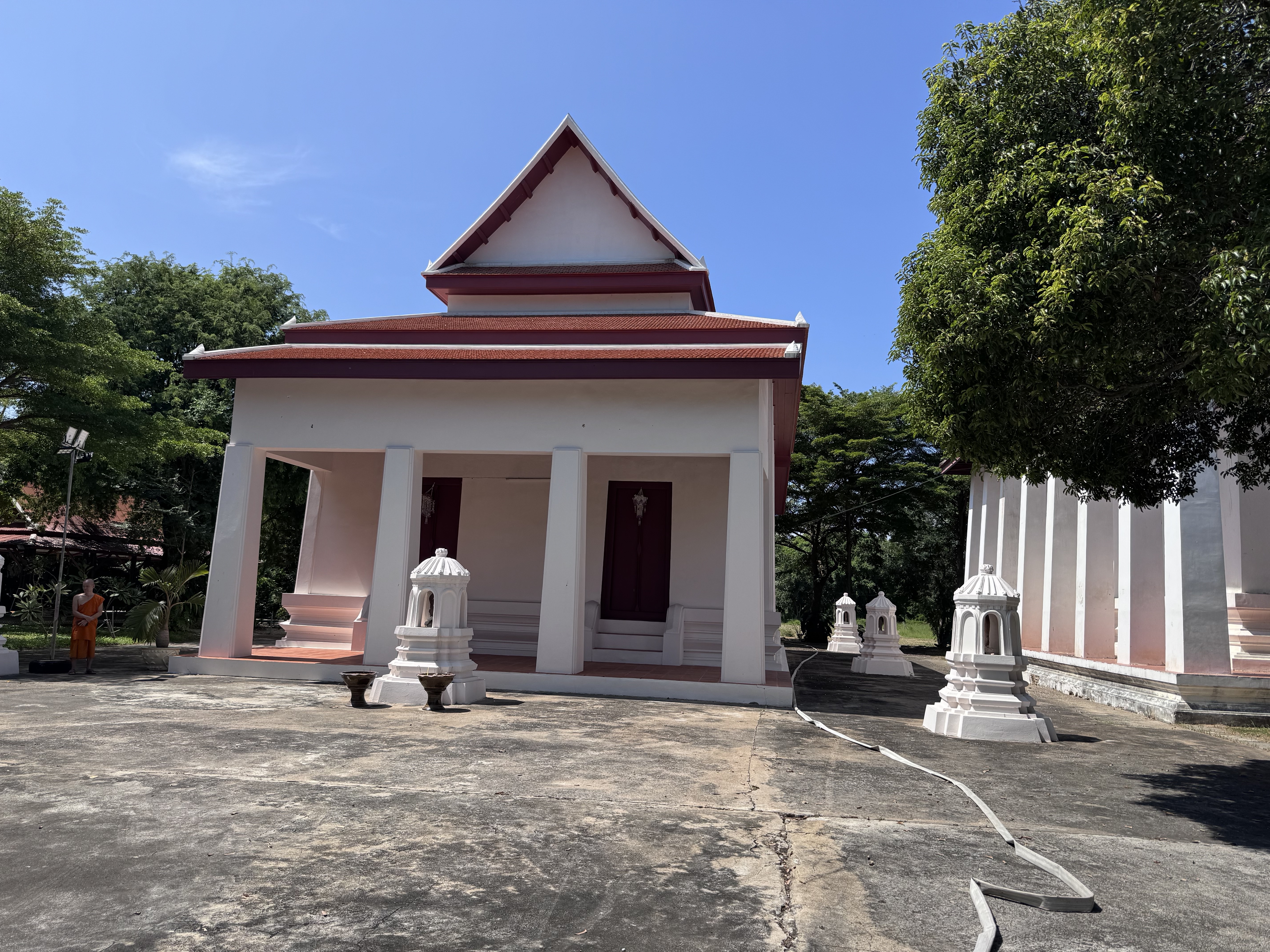
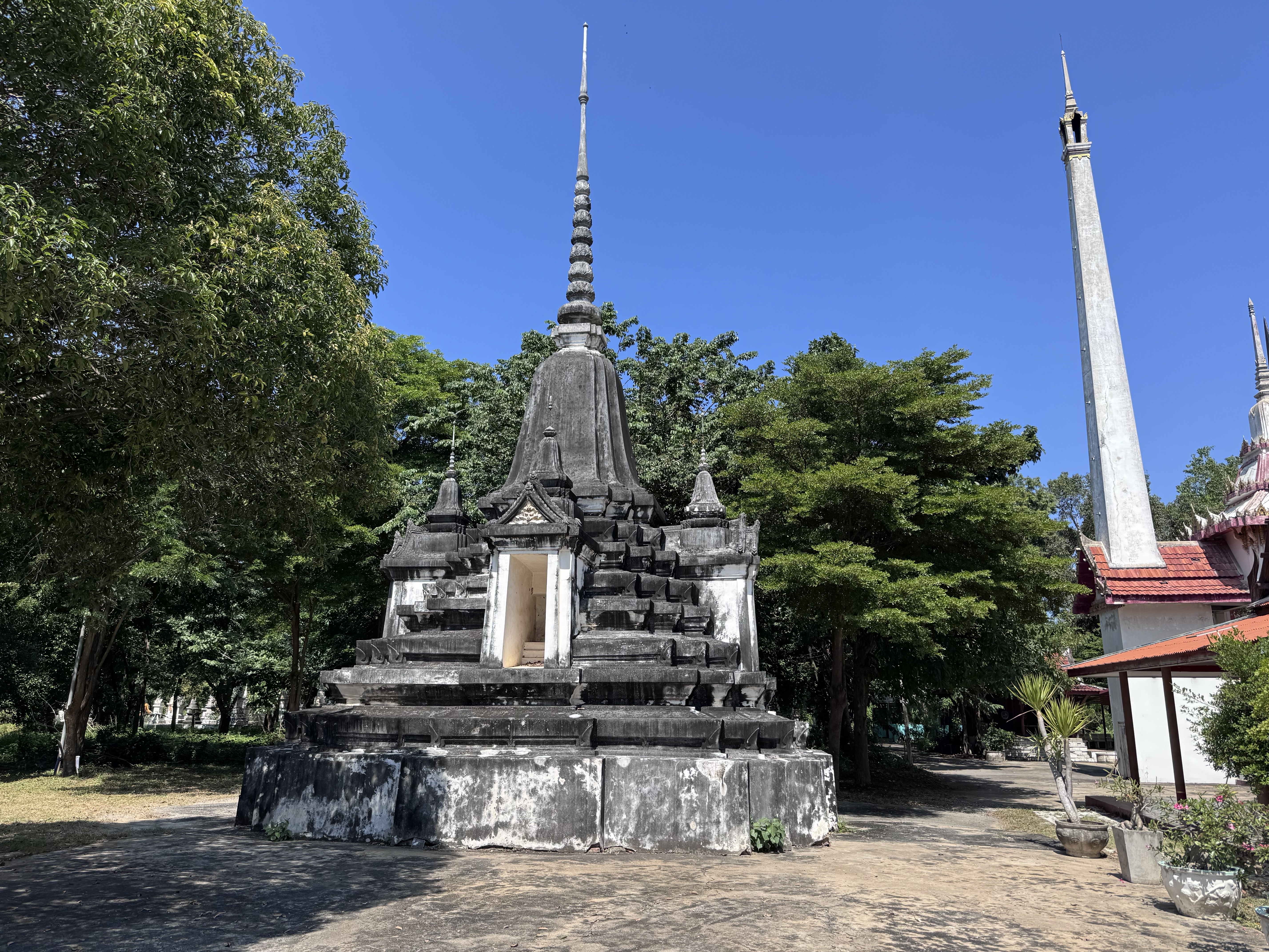
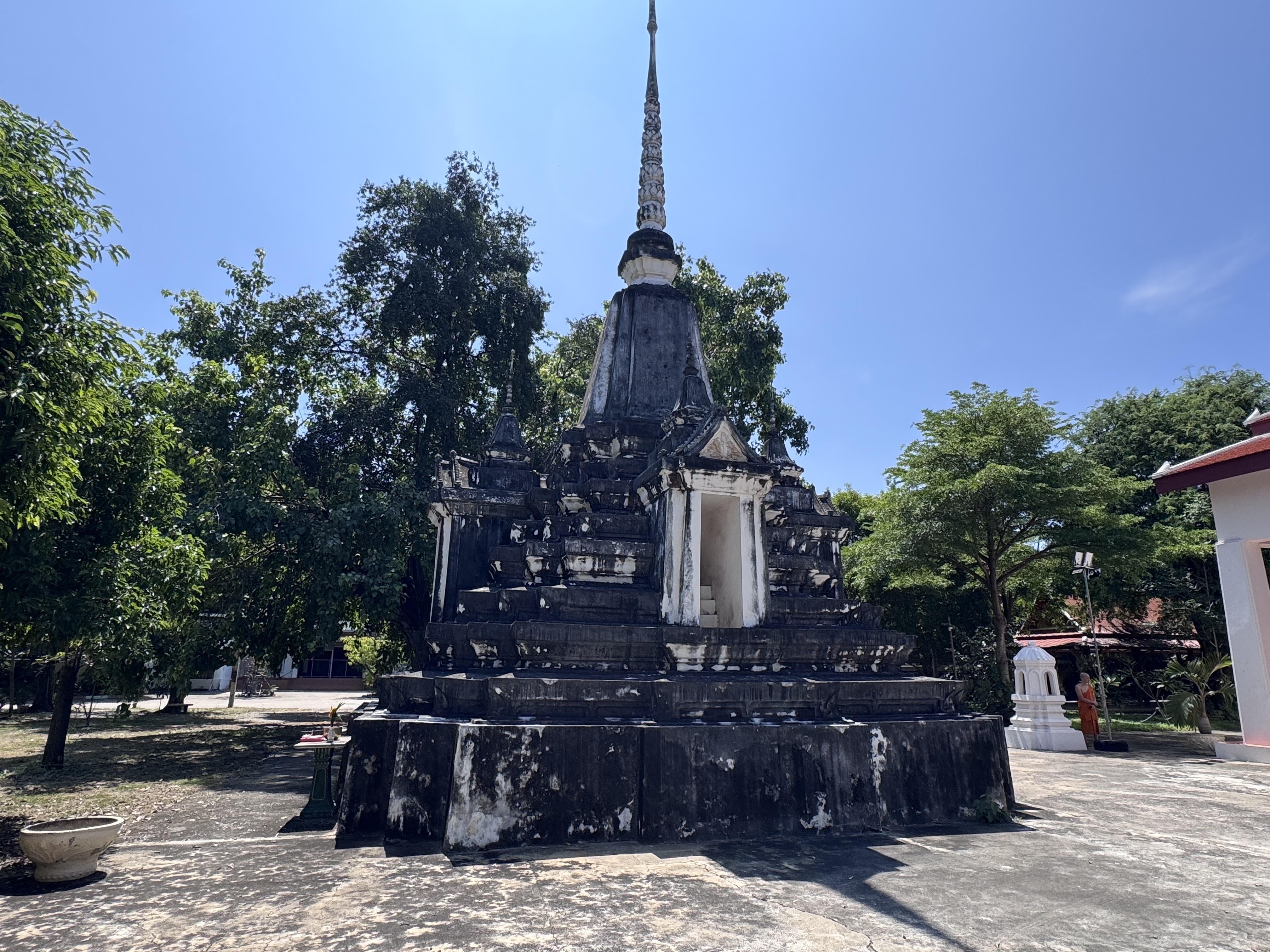
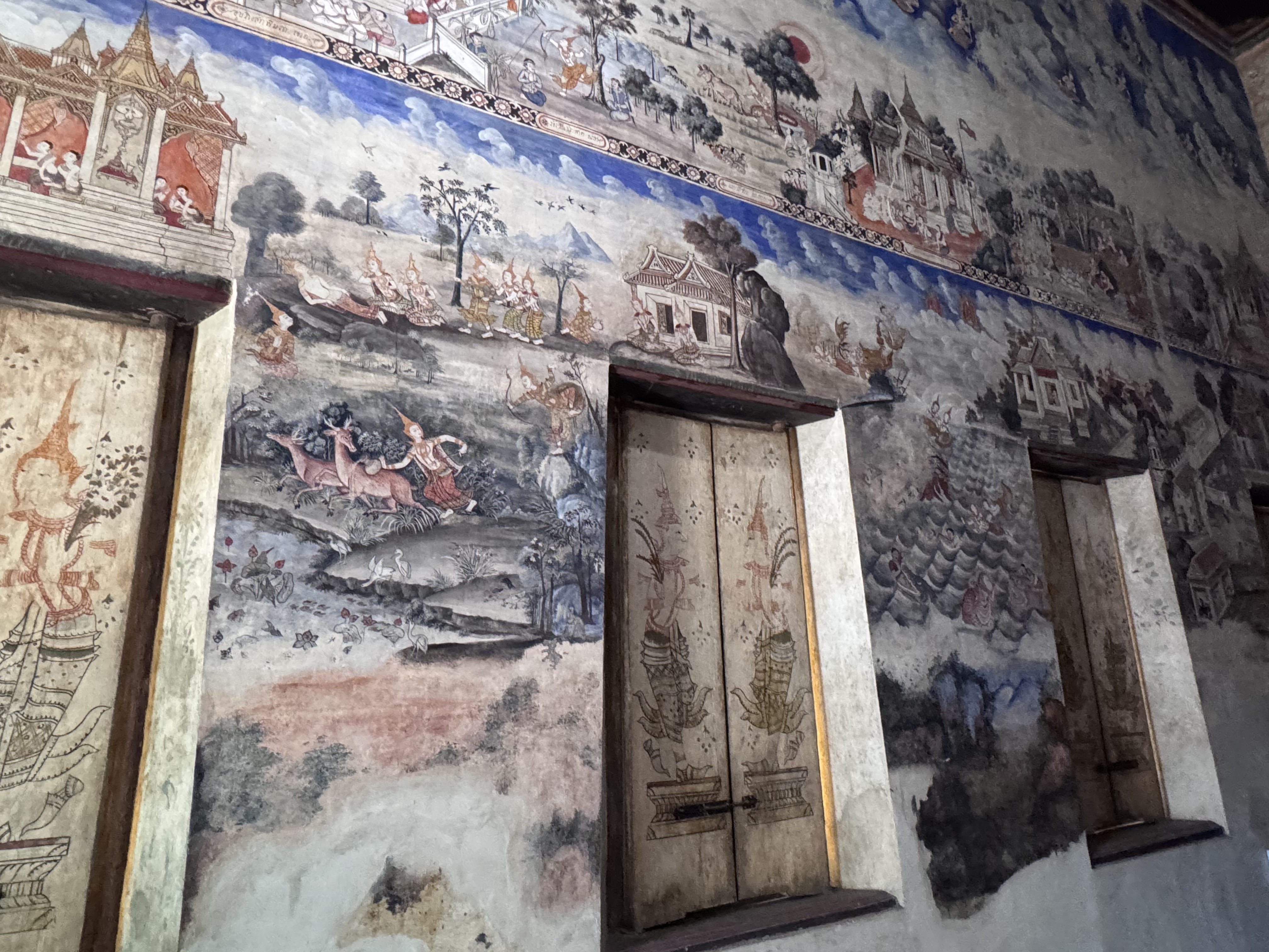
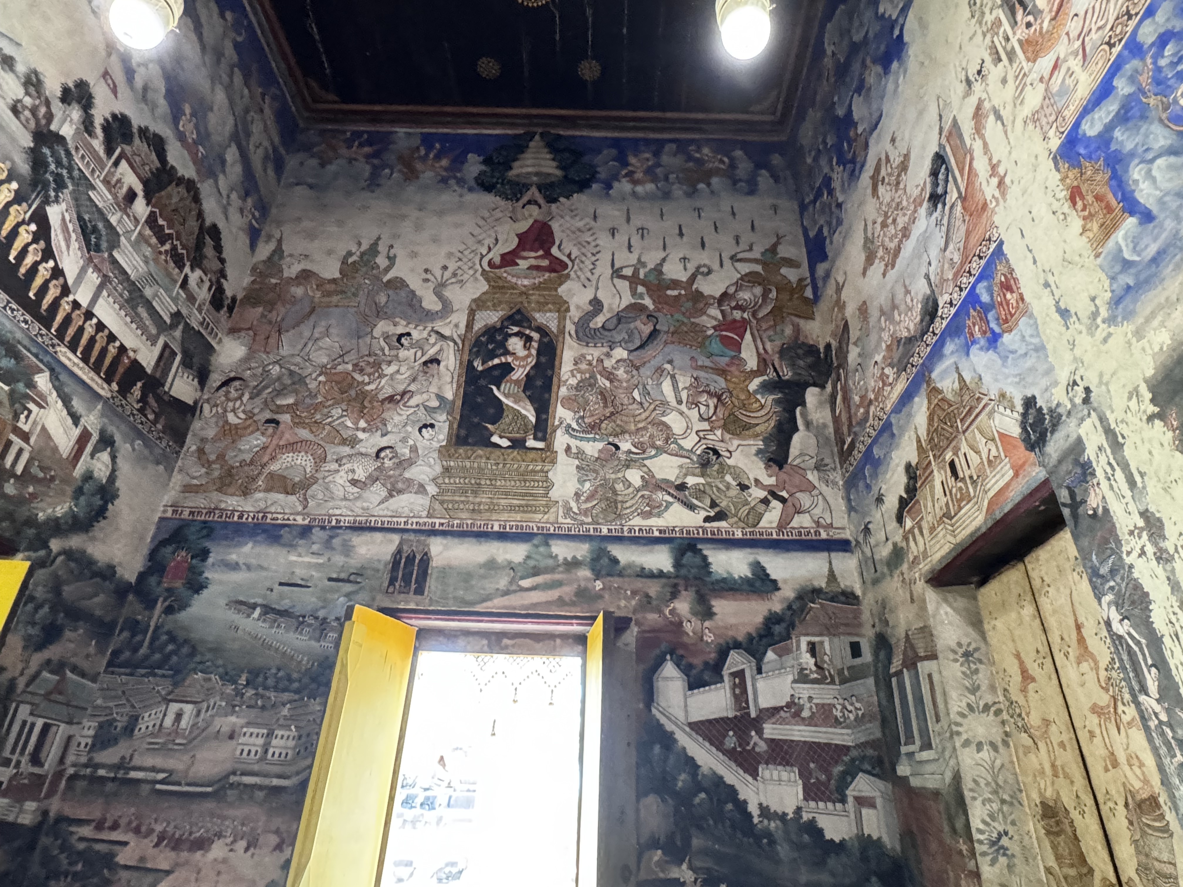
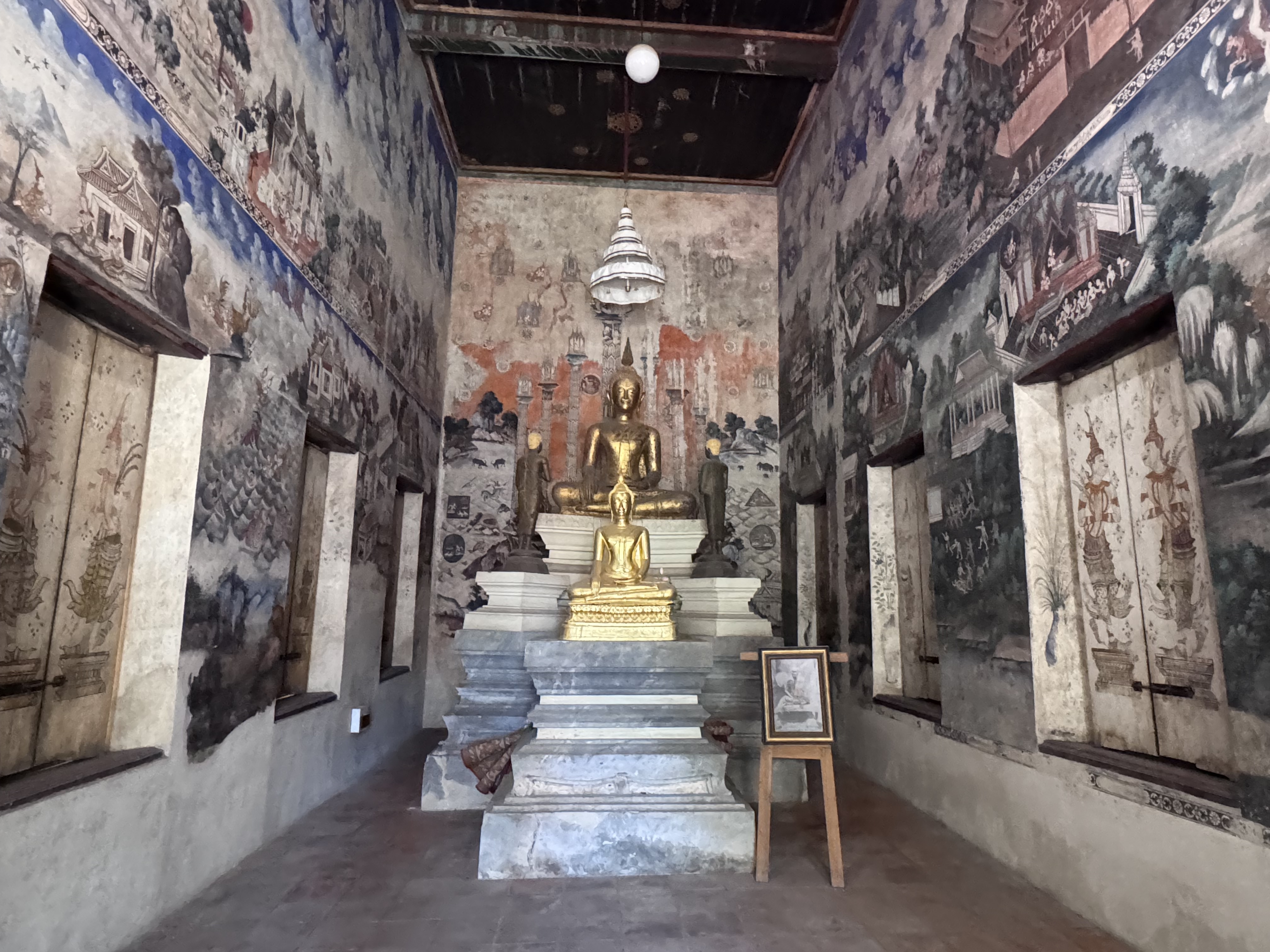
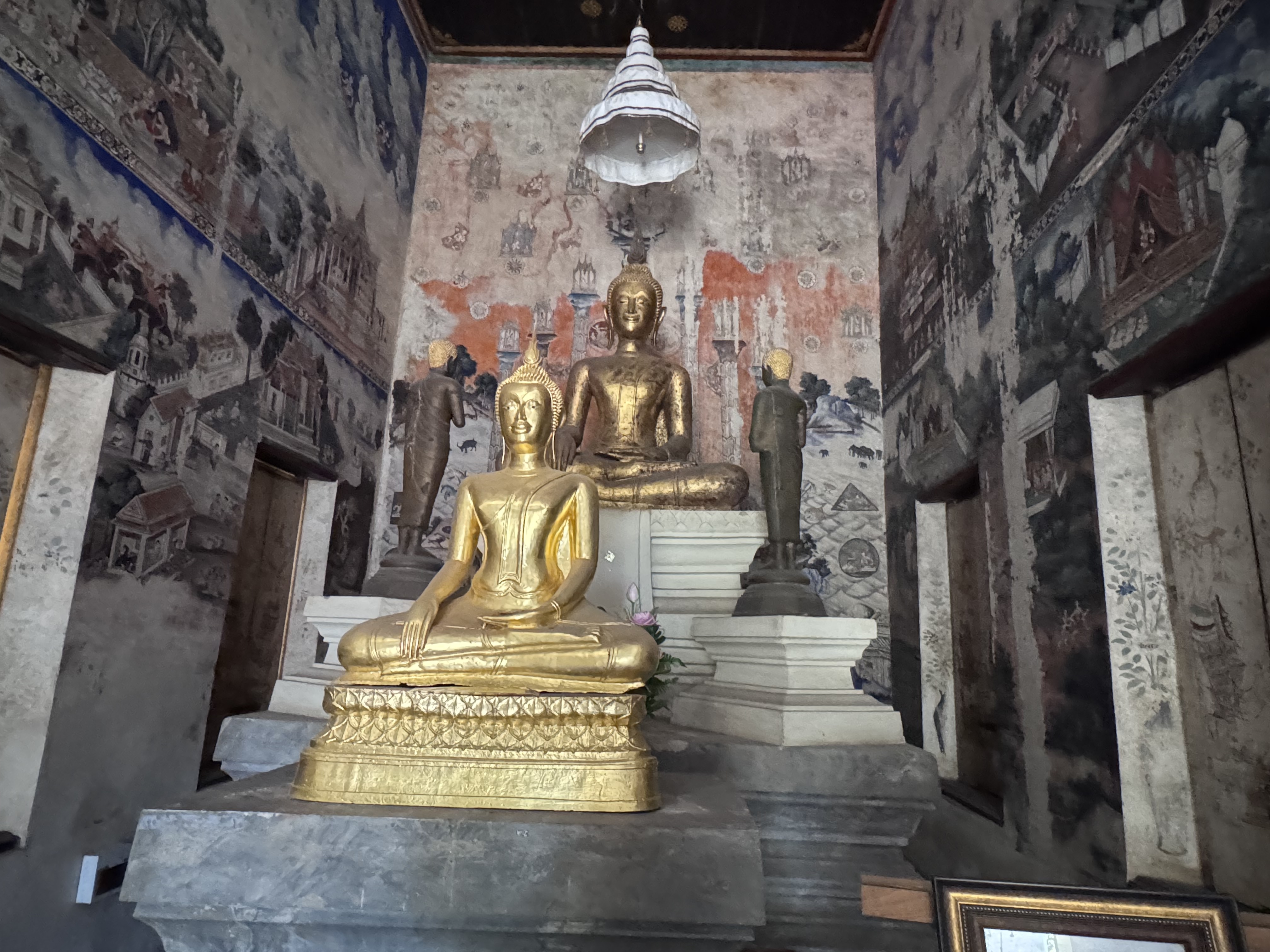
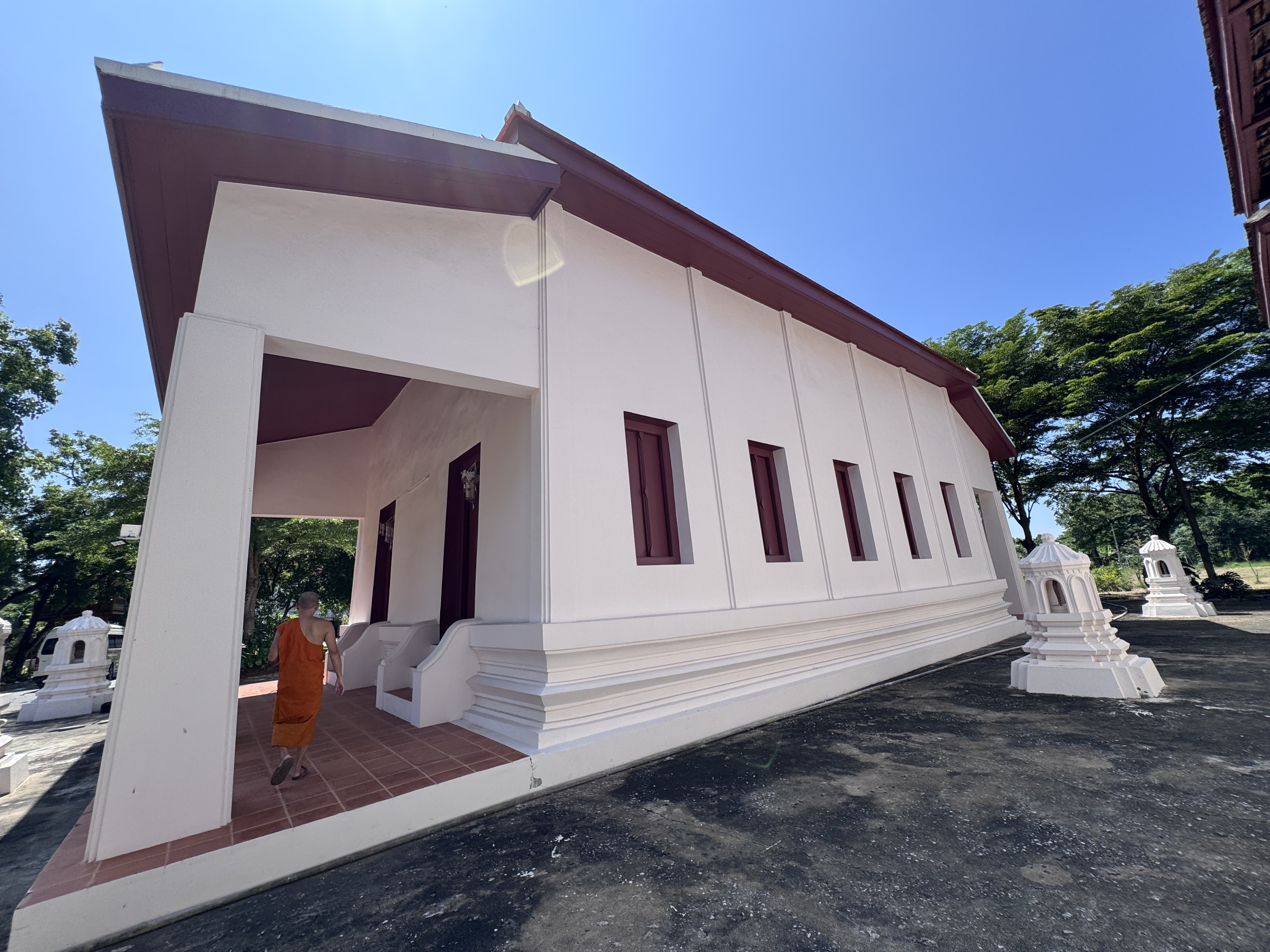
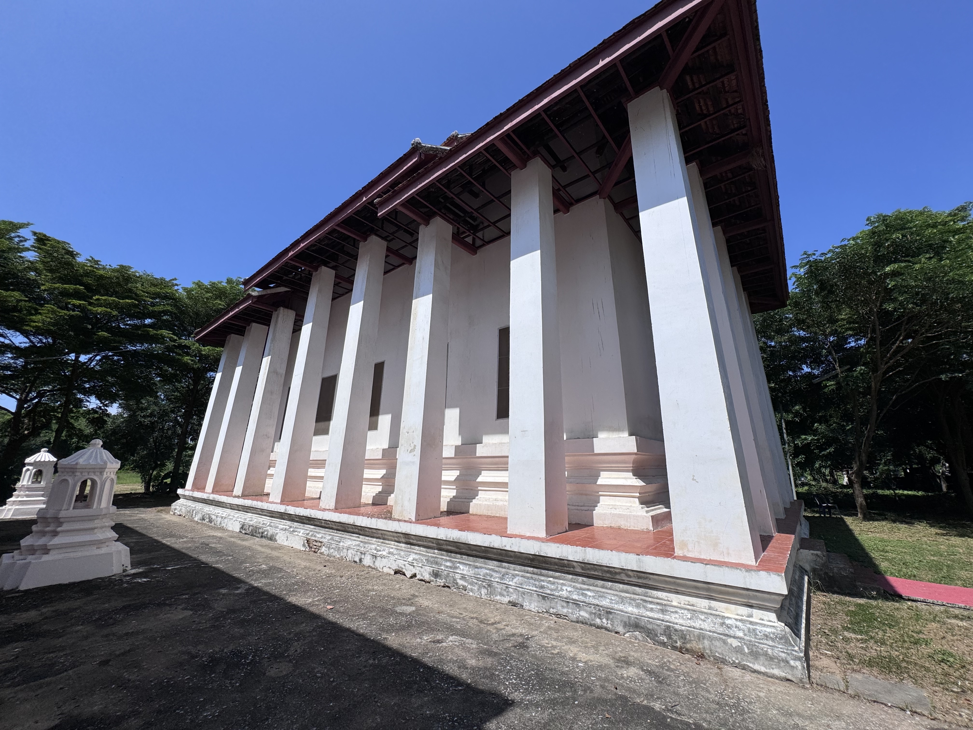
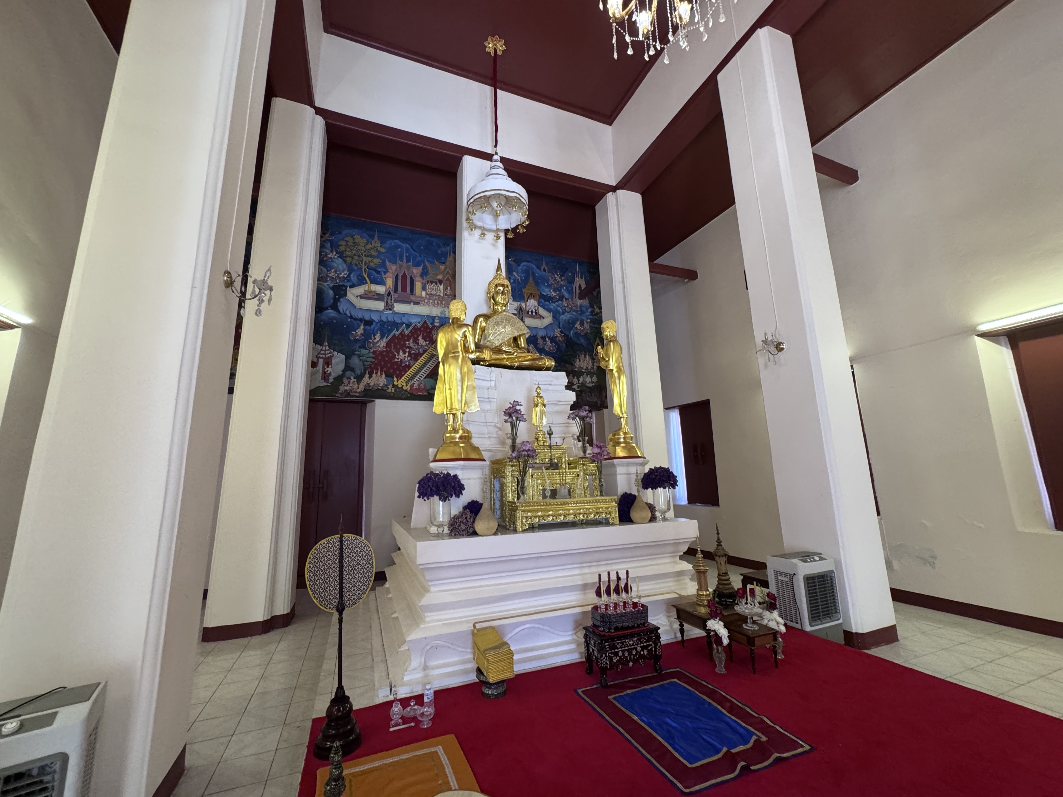
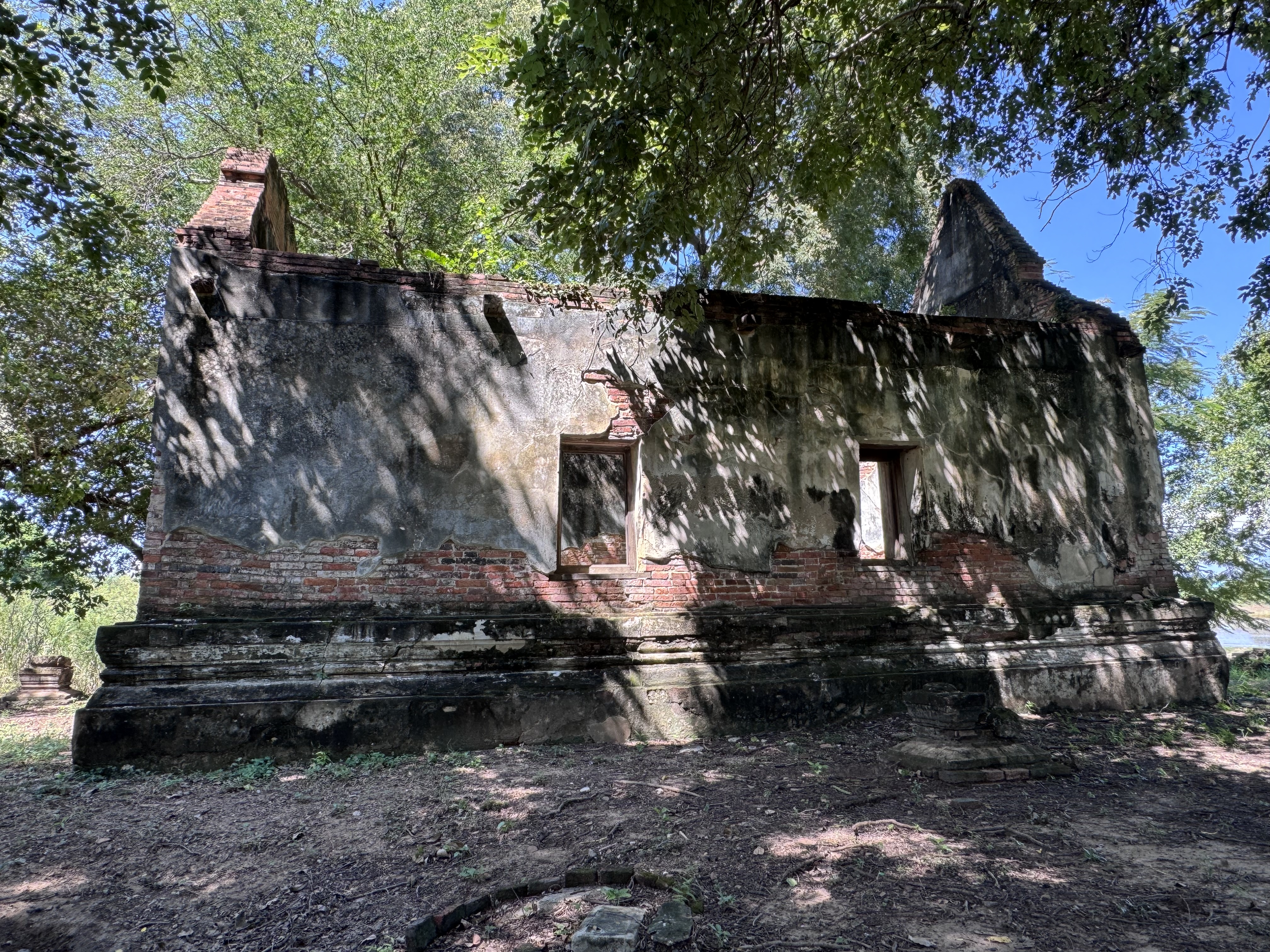
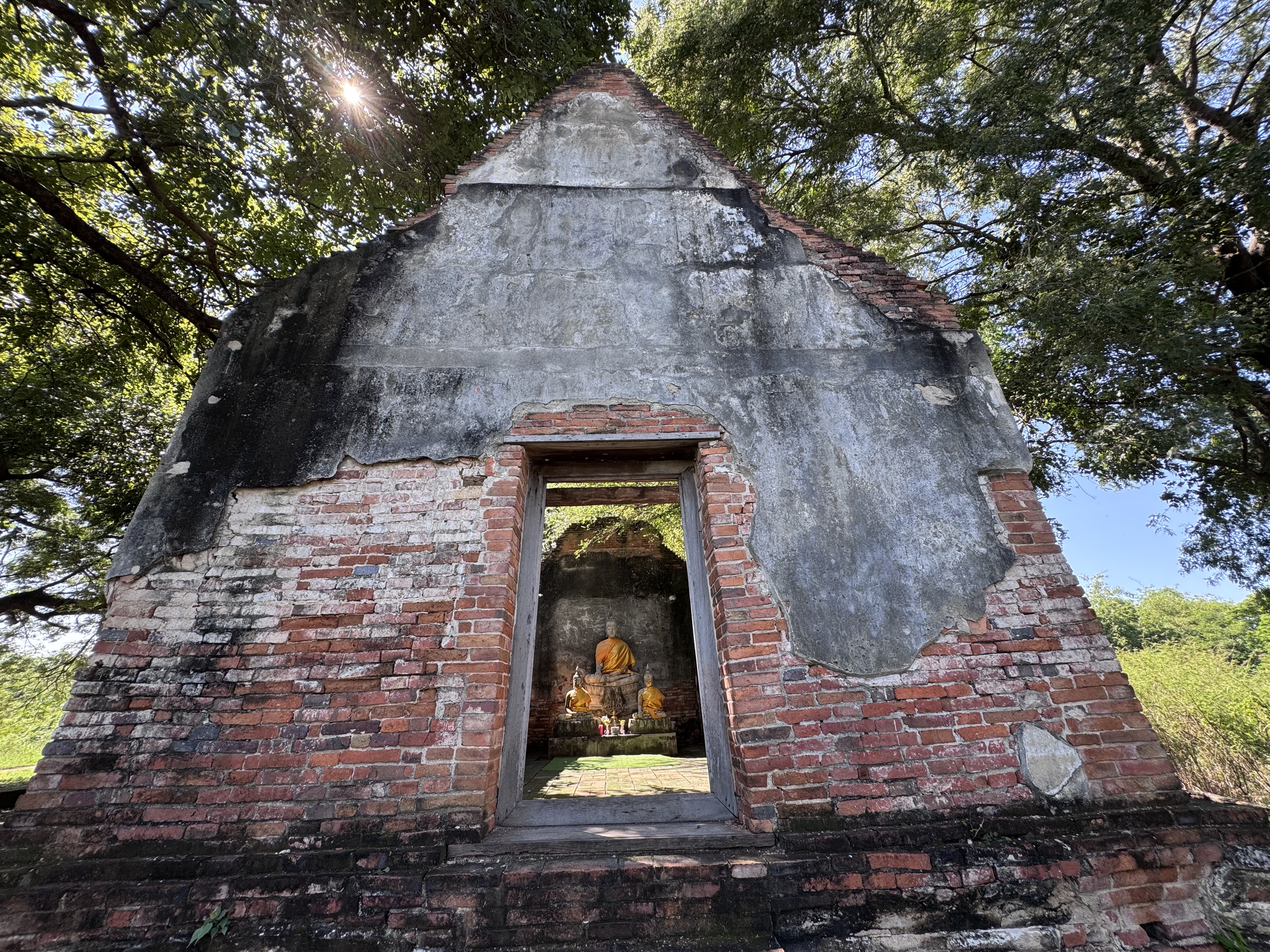
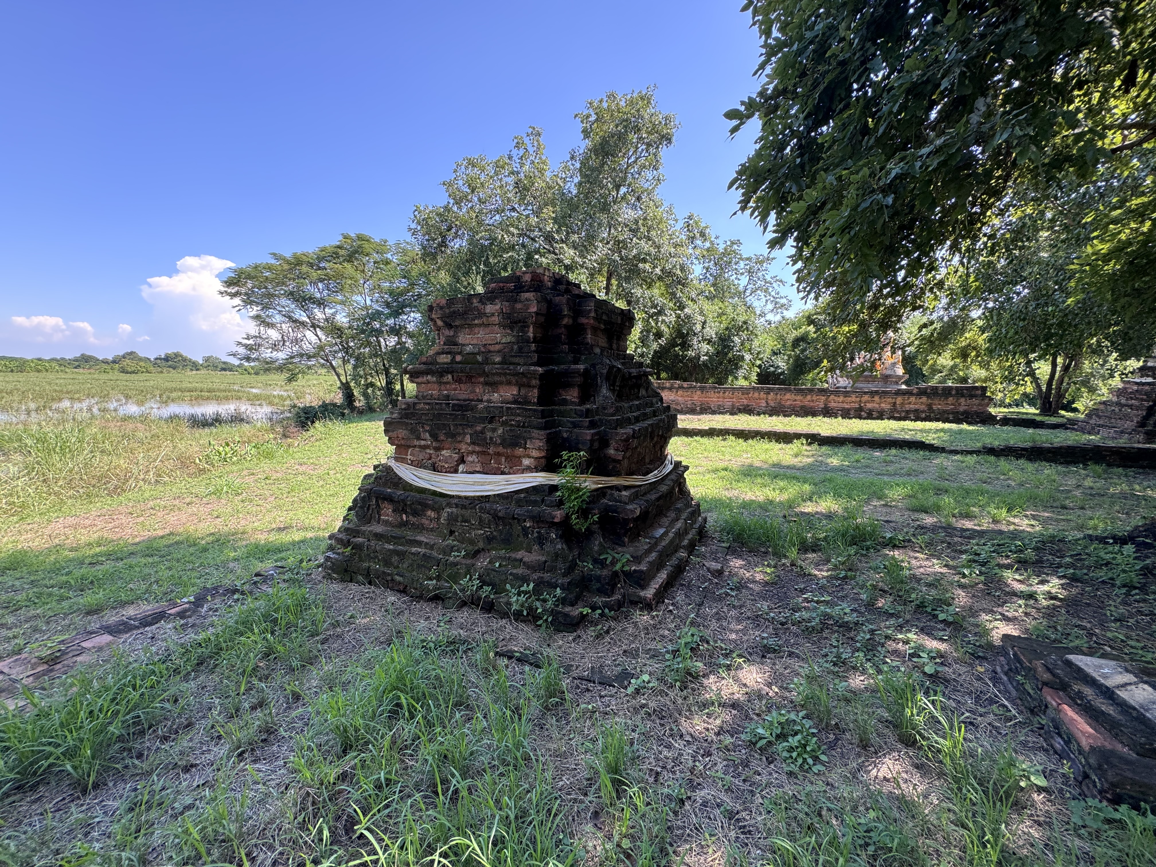
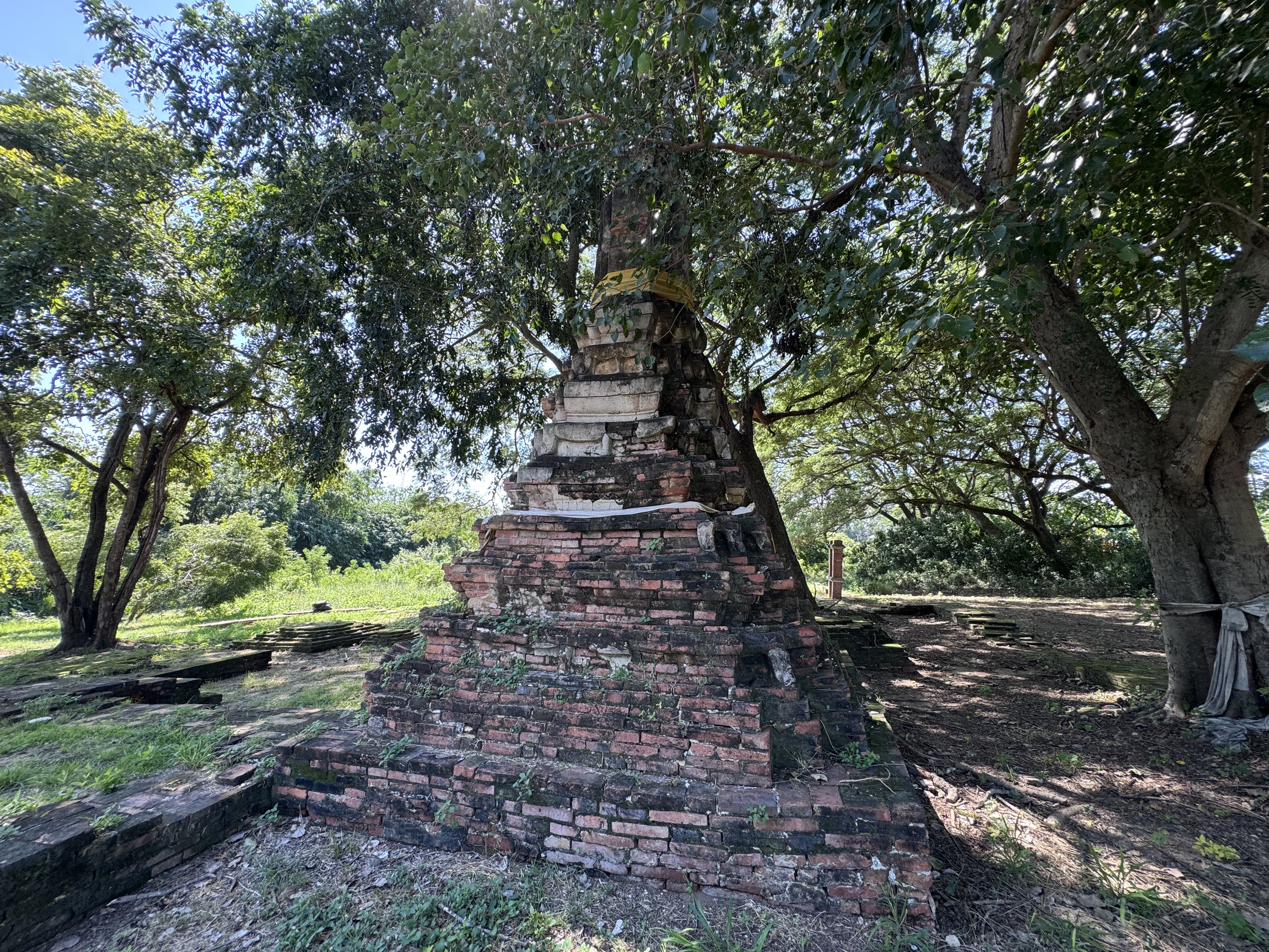
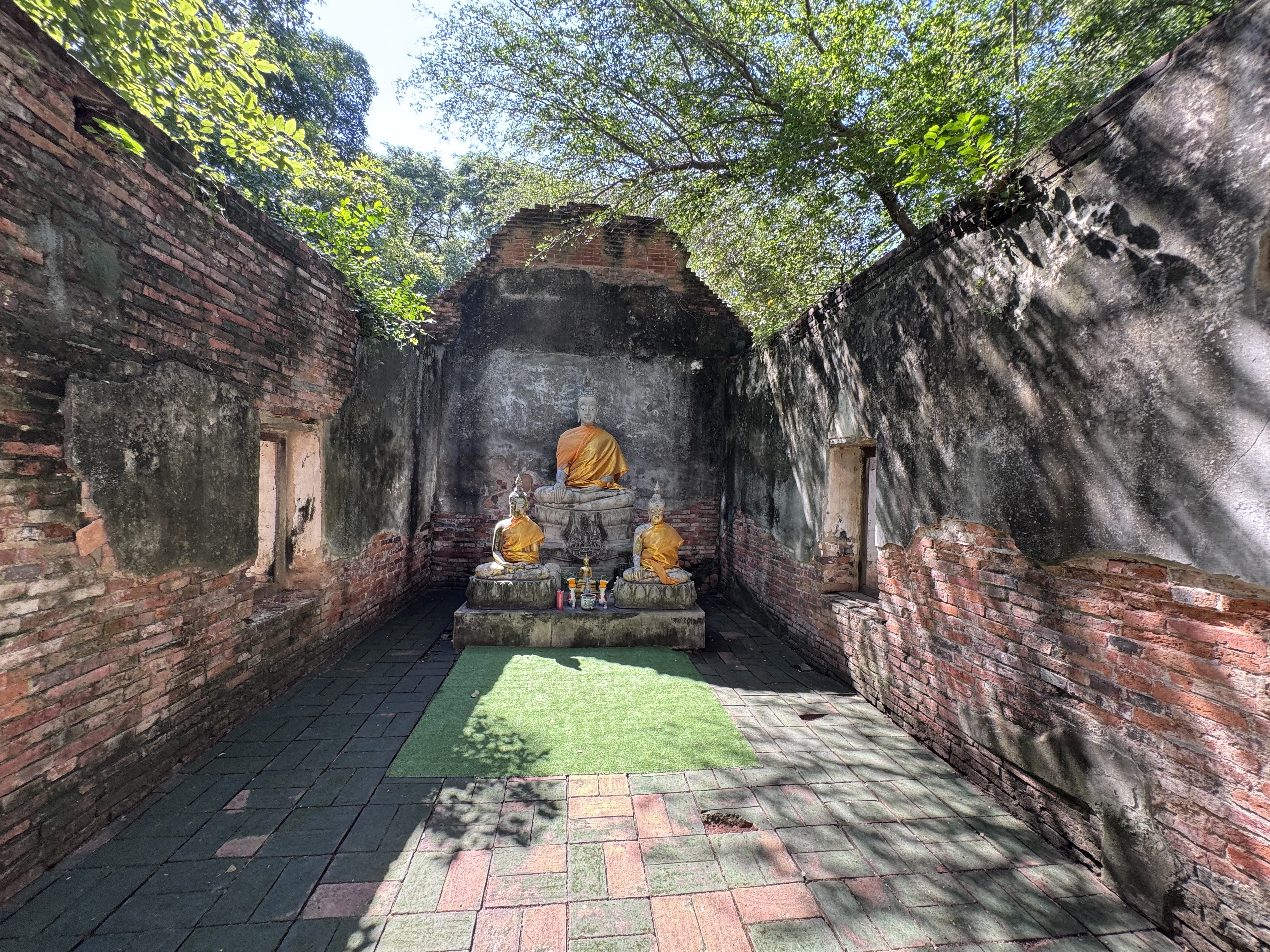
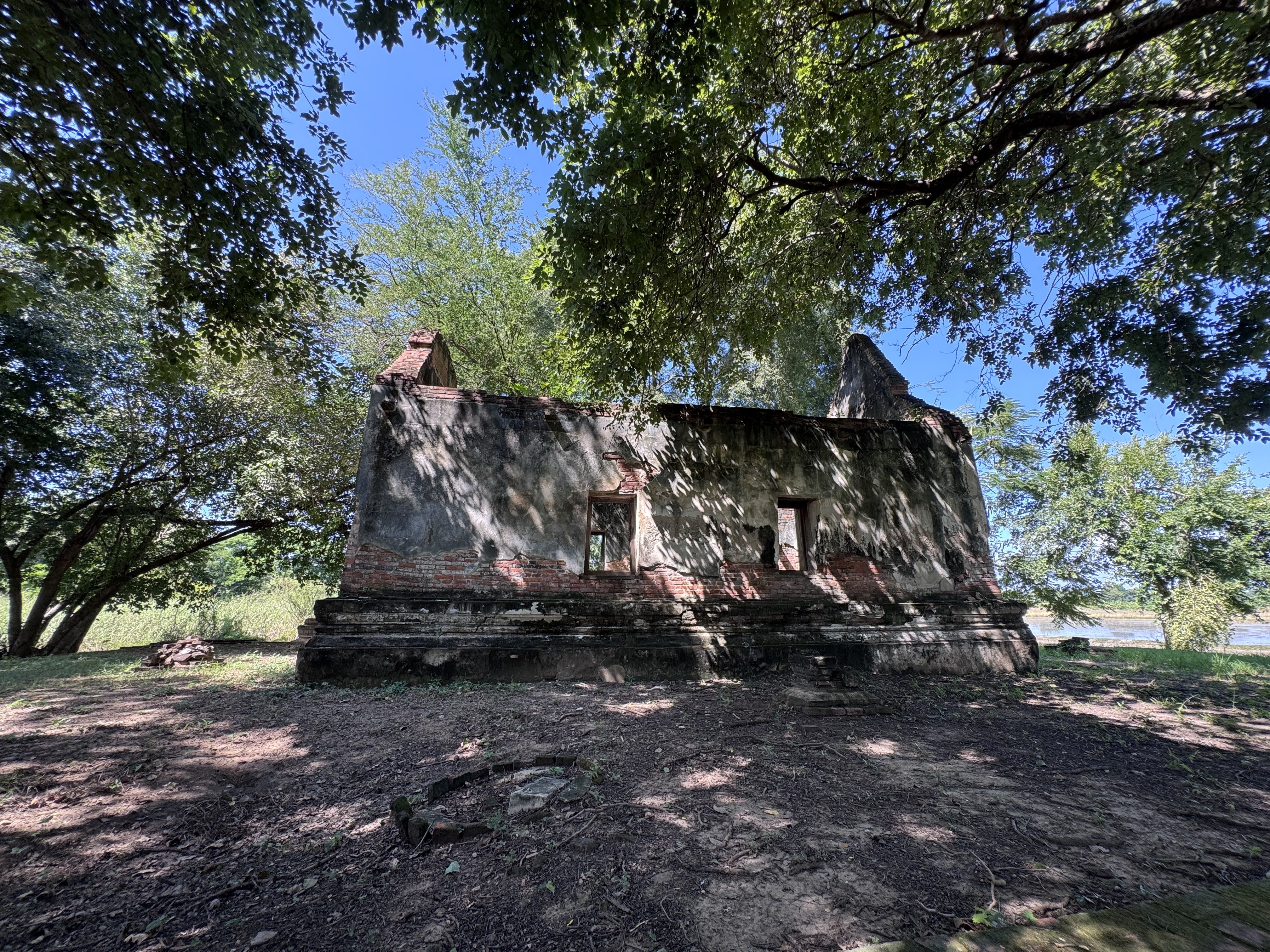
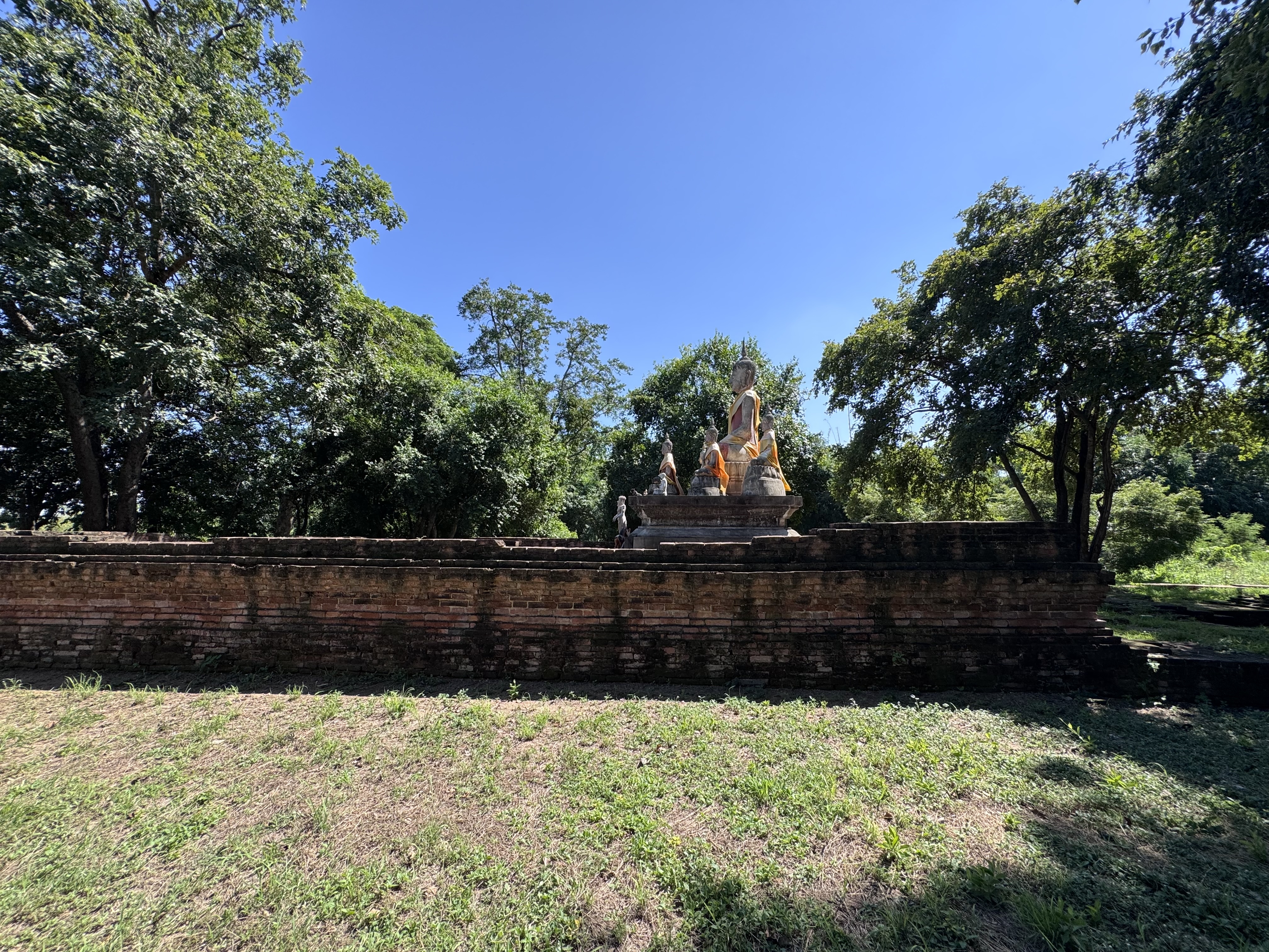
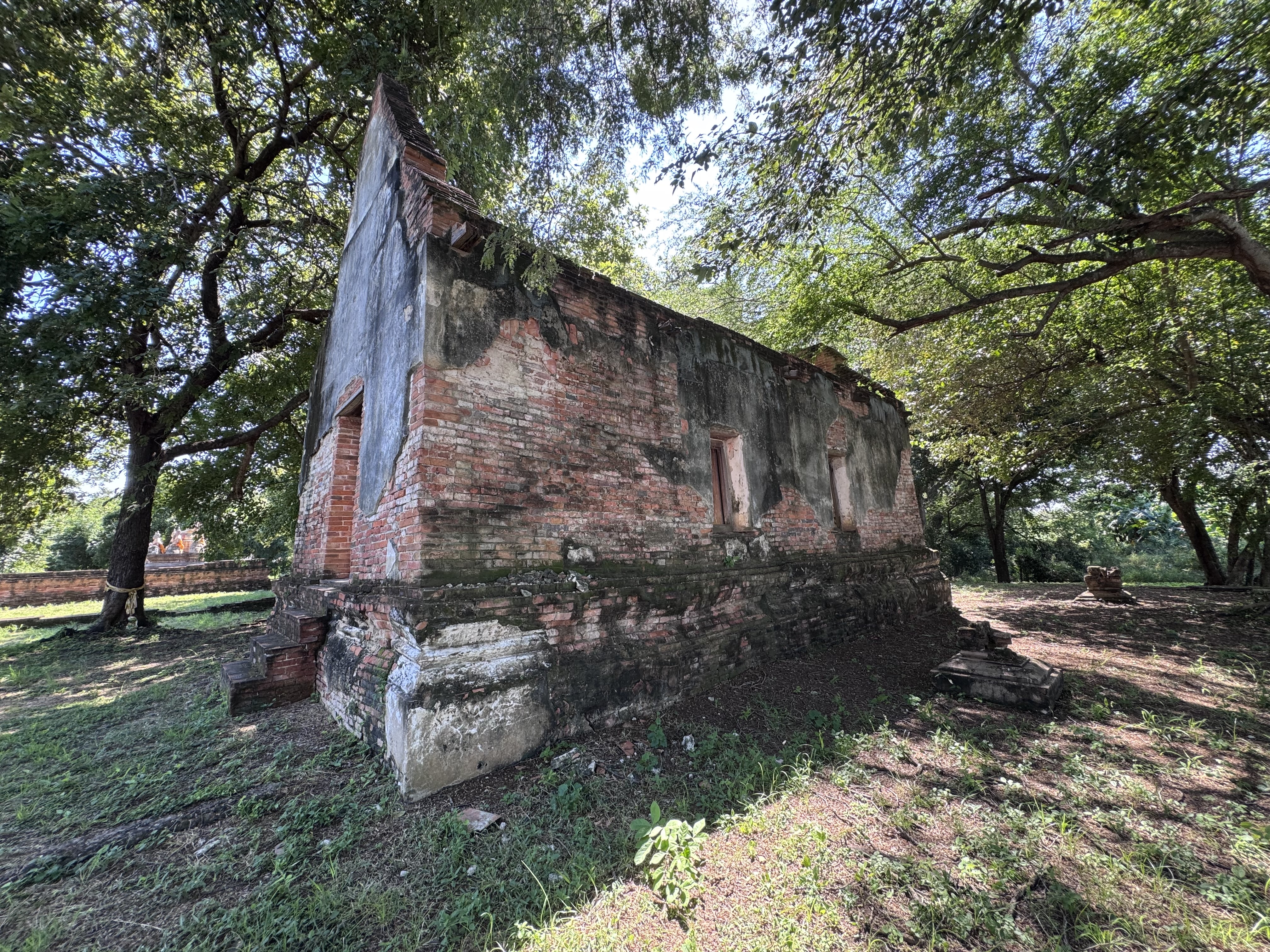
The temple ruin now commonly known in connection with Wat Talad (วัดตลาด) in Bang Pahan District, Phra Nakhon Si Ayutthaya Province, was originally called Wat Thai Talad or Wat Thaitalad.
The name reflected its location immediately behind a local market where residents traded vegetables, food, and other goods. Local tradition holds that this market continued to operate even during the final Burmese siege of Ayutthaya, supplying soldiers from the invading forces who had established a camp in the nearby Pho Sam Ton area. The site therefore sits at the intersection of ordinary village life and the turbulent closing years of the Ayutthaya kingdom.
Archaeological evidence places the original construction in the late Ayutthaya period, roughly the early decades of the 24th Buddhist century (mid-eighteenth century), shortly before the fall of the capital in 1767.
The earliest phase consisted of an ordination hall and a surrounding glass wall. After the destruction of the city, the monastery ...