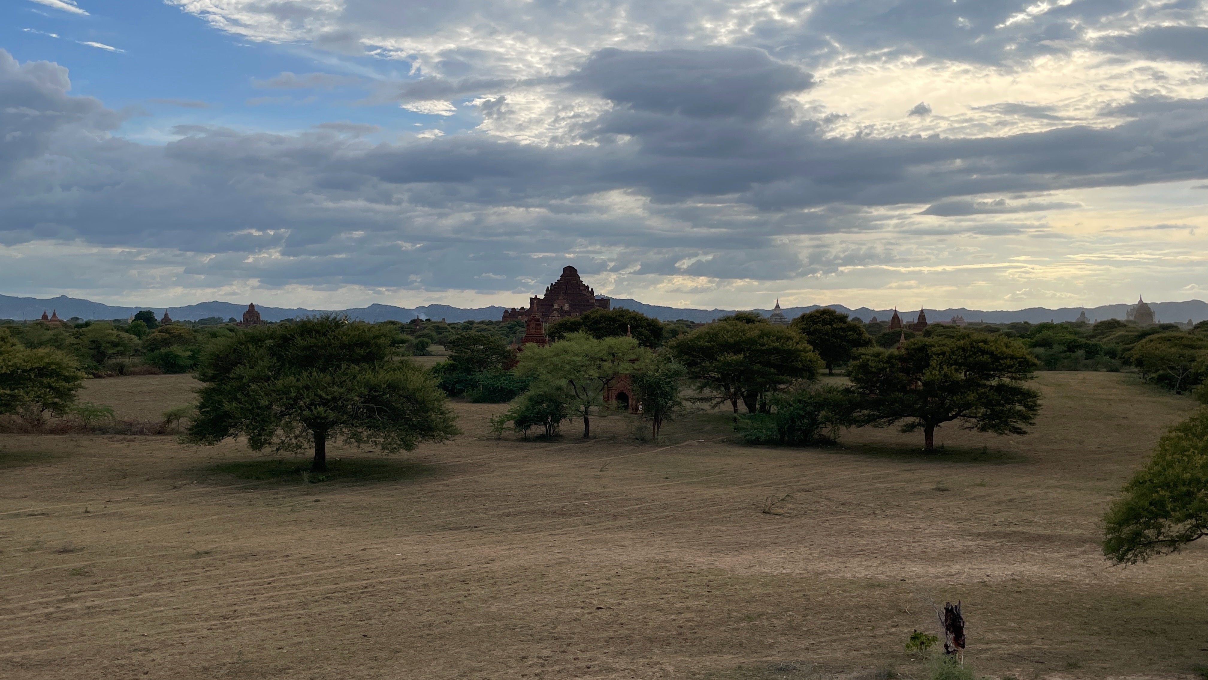
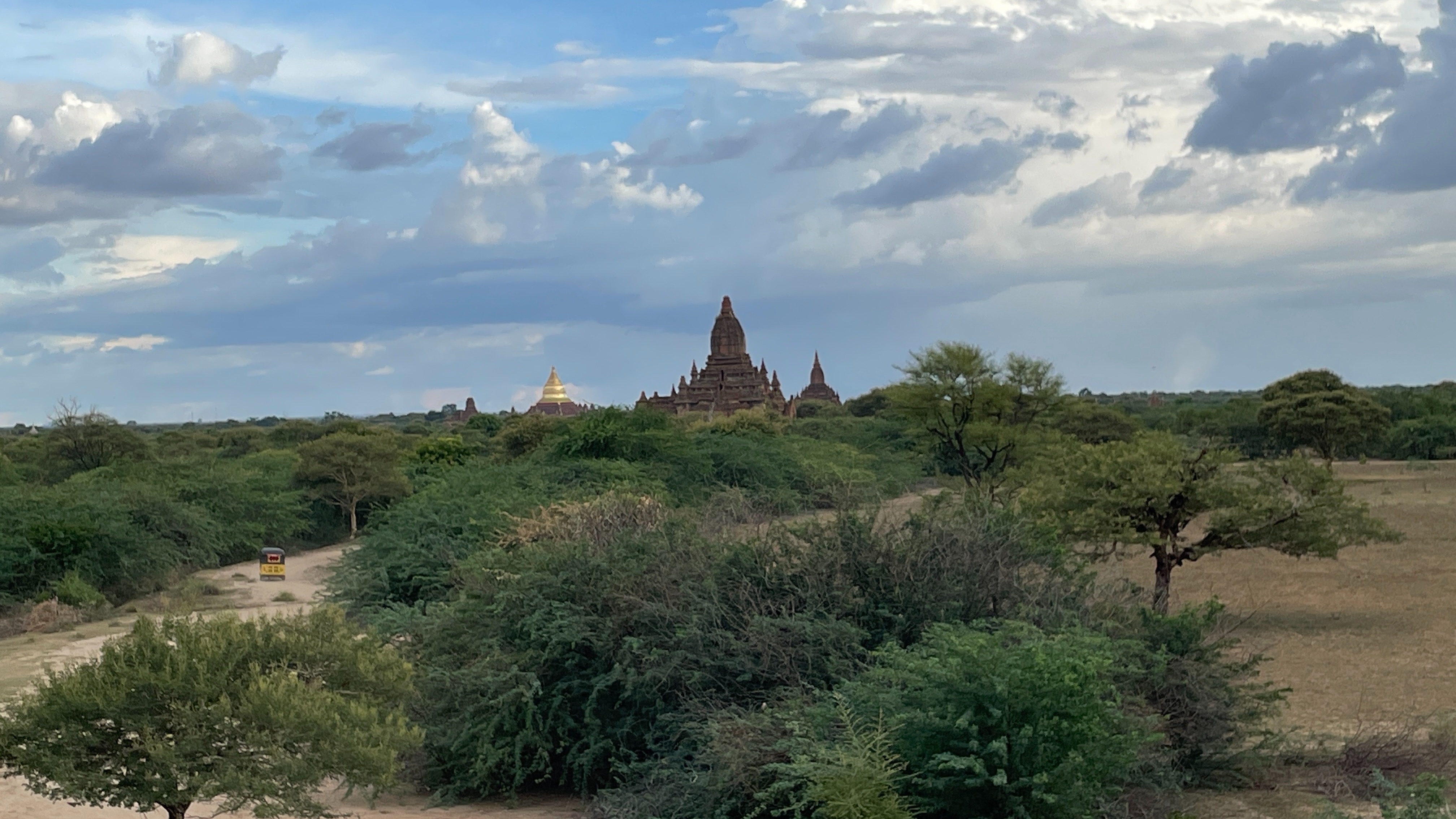
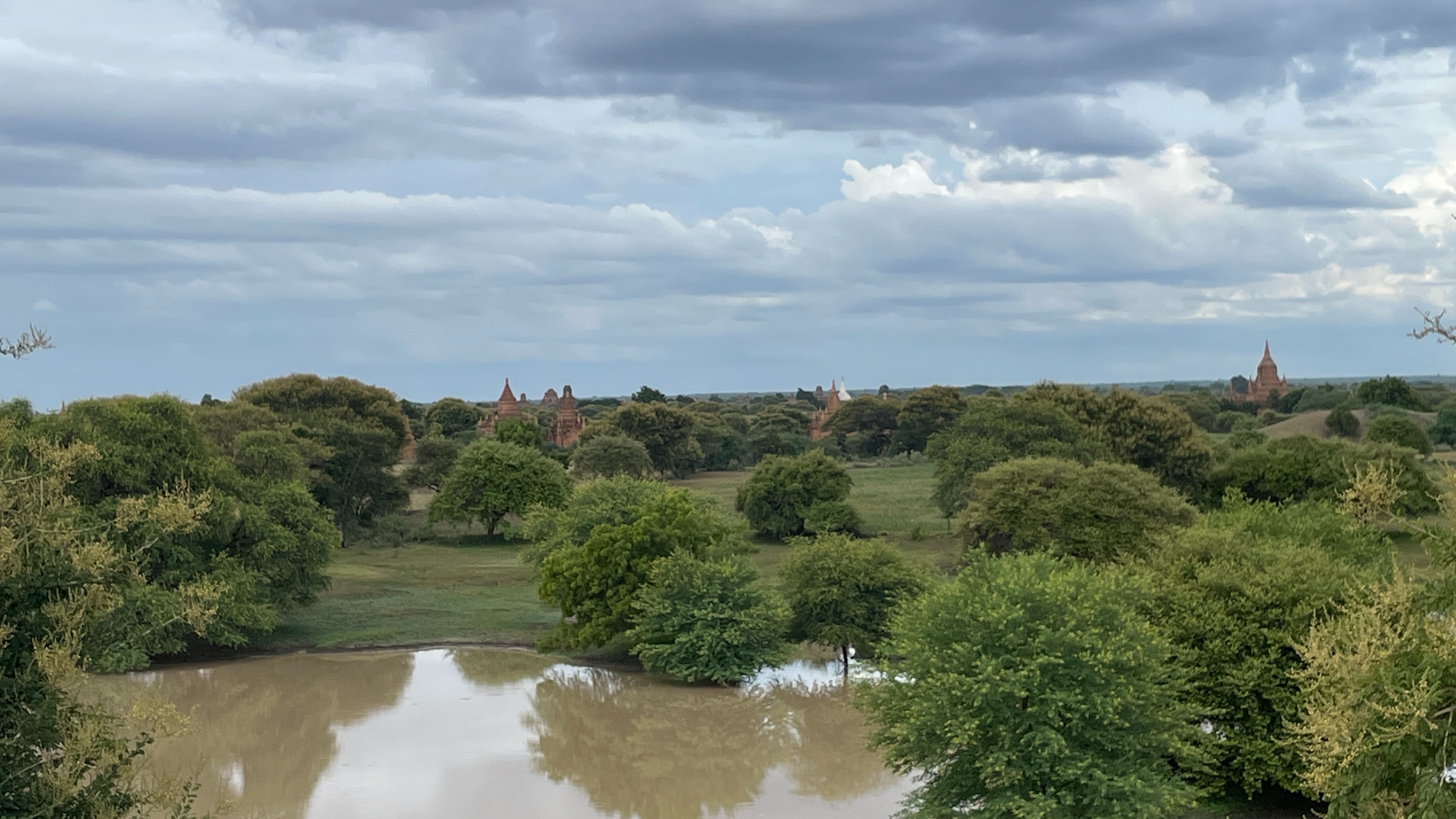
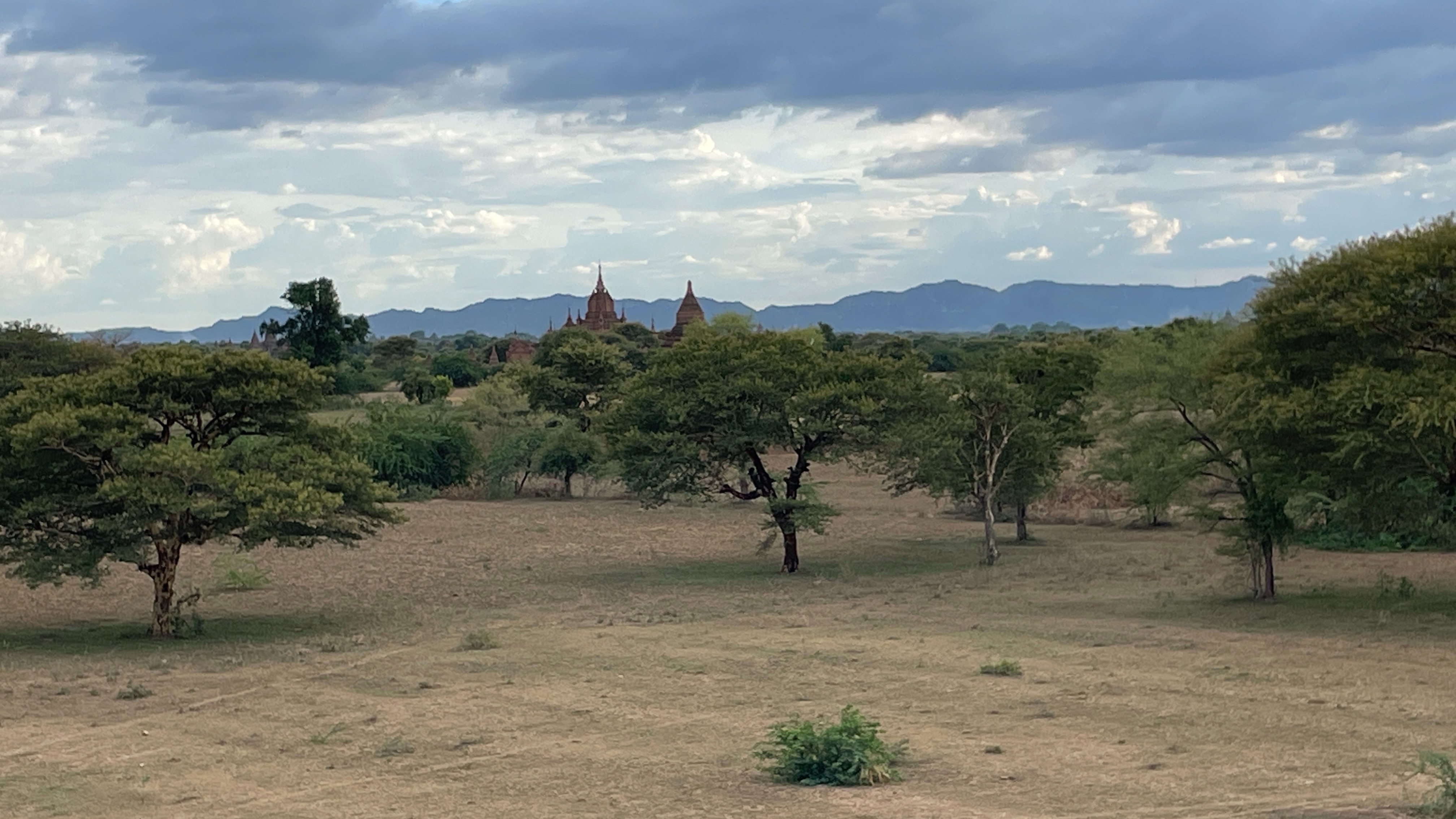
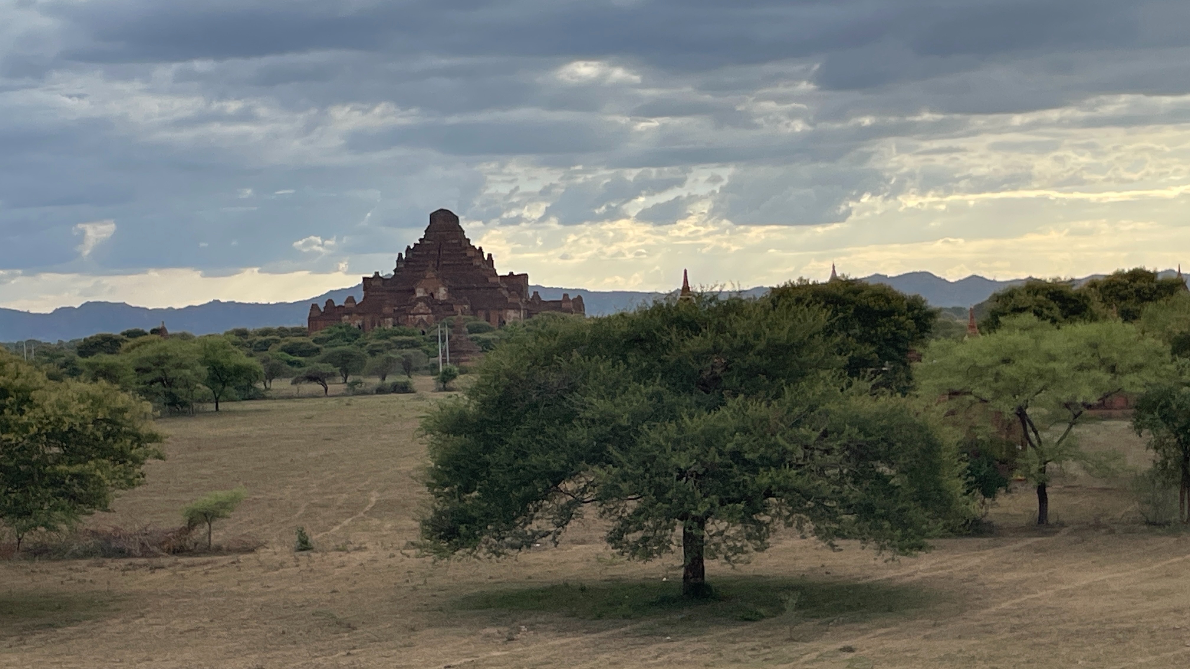
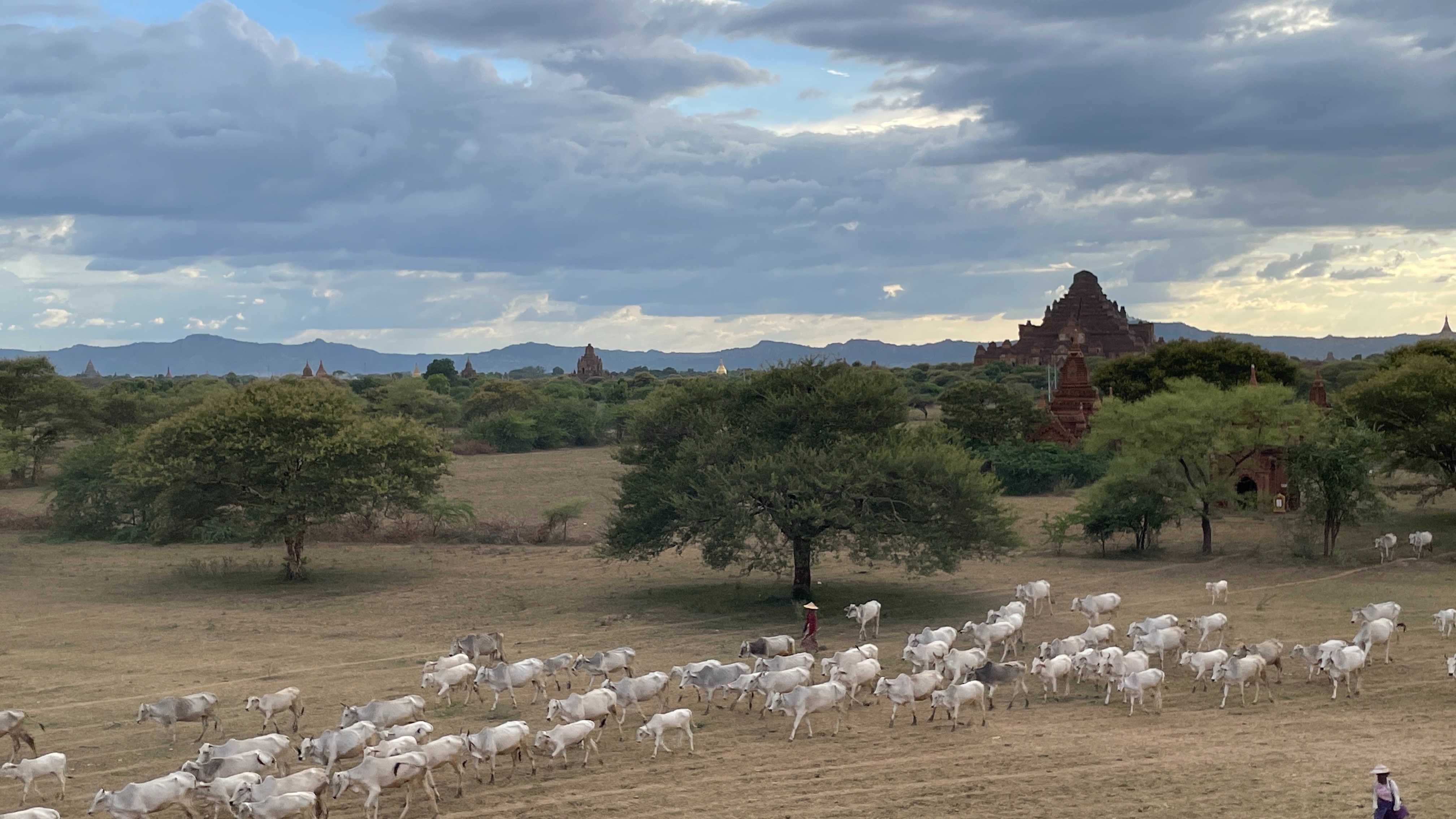
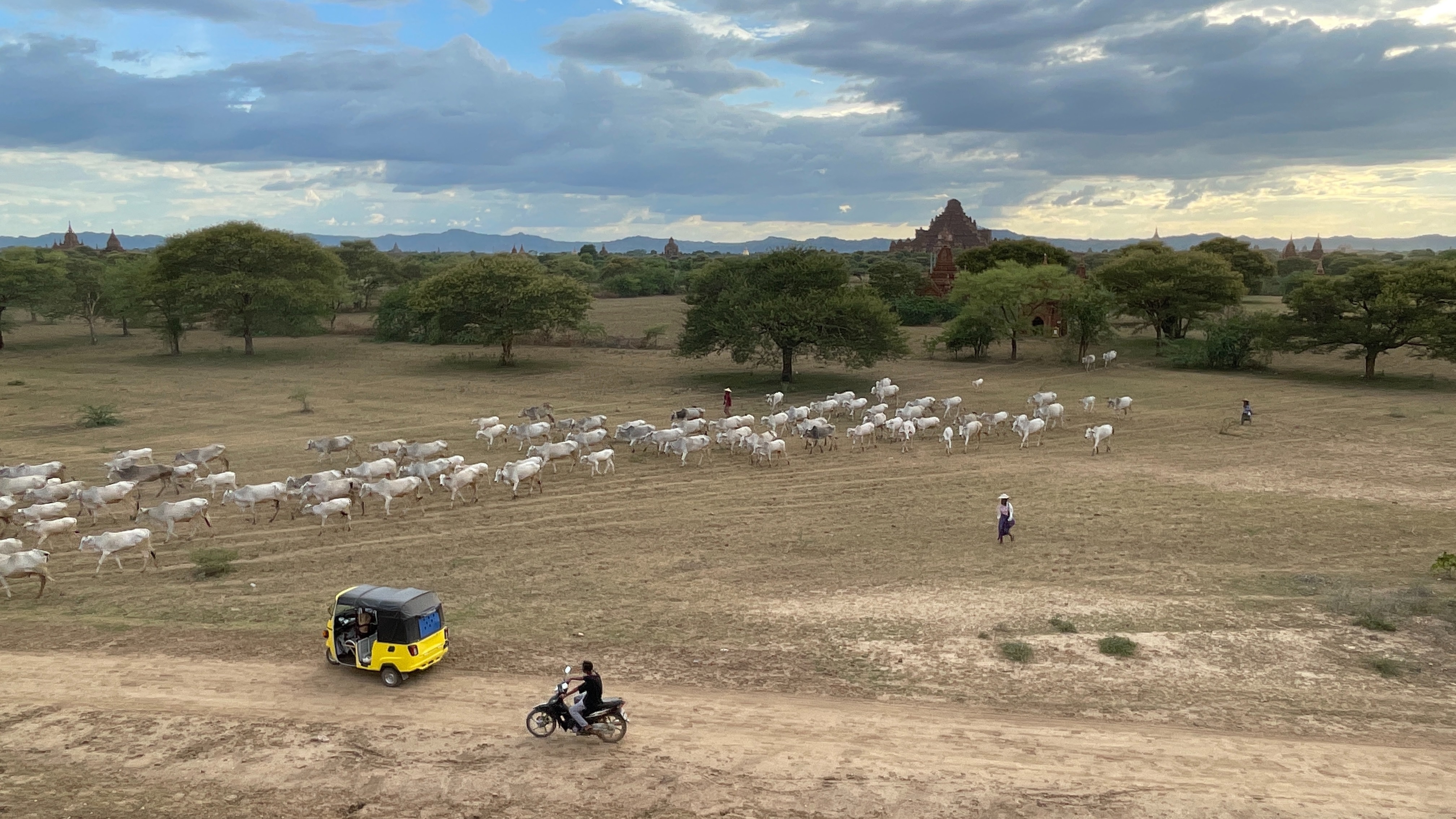
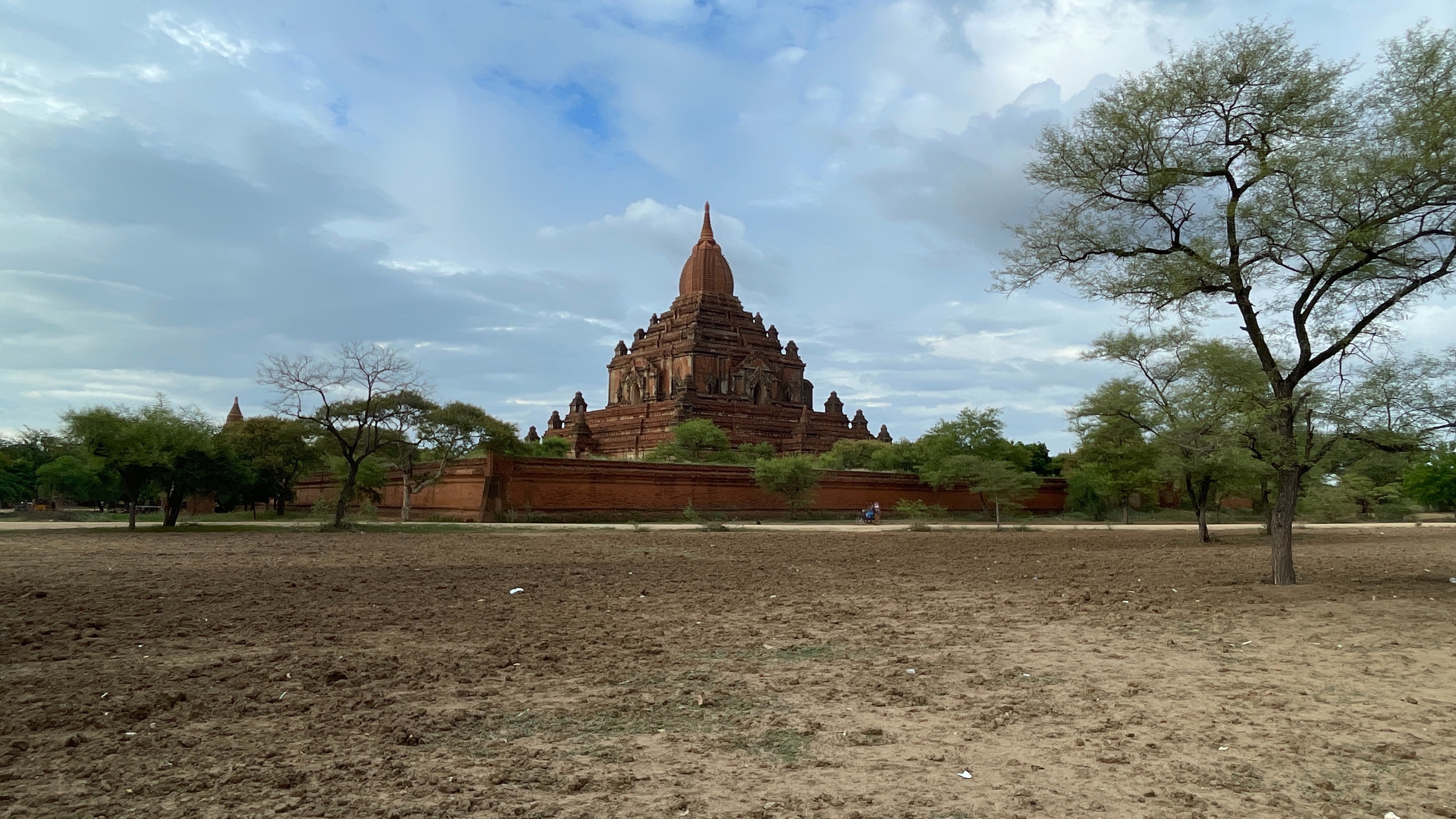
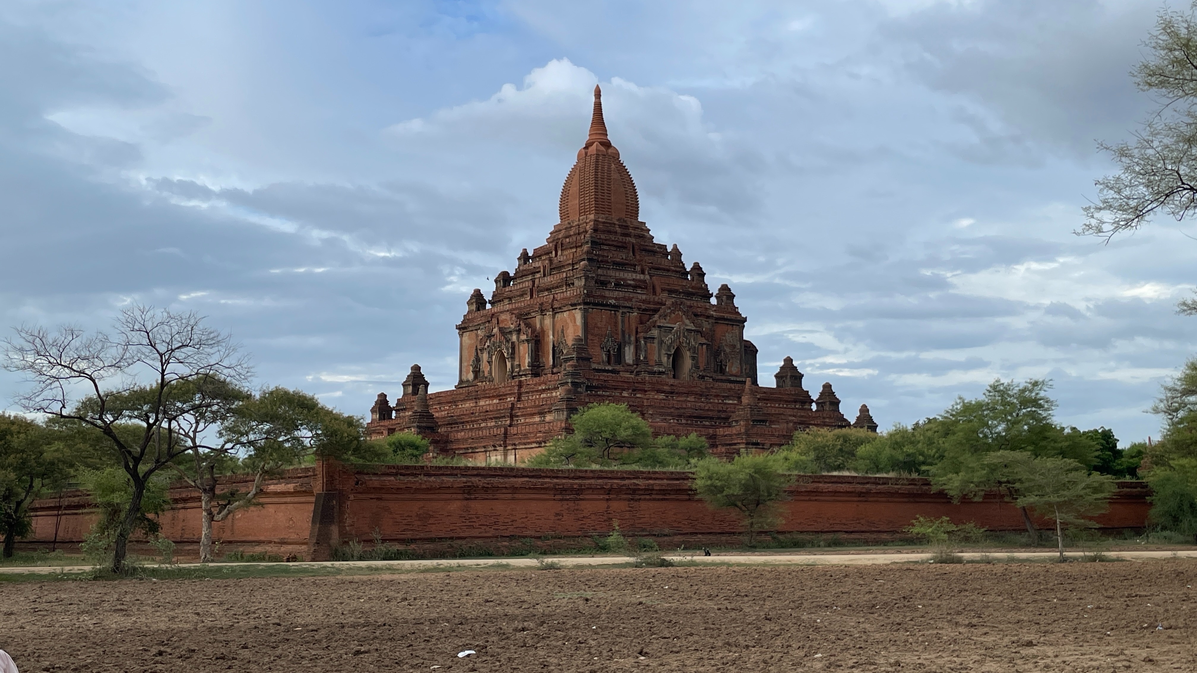
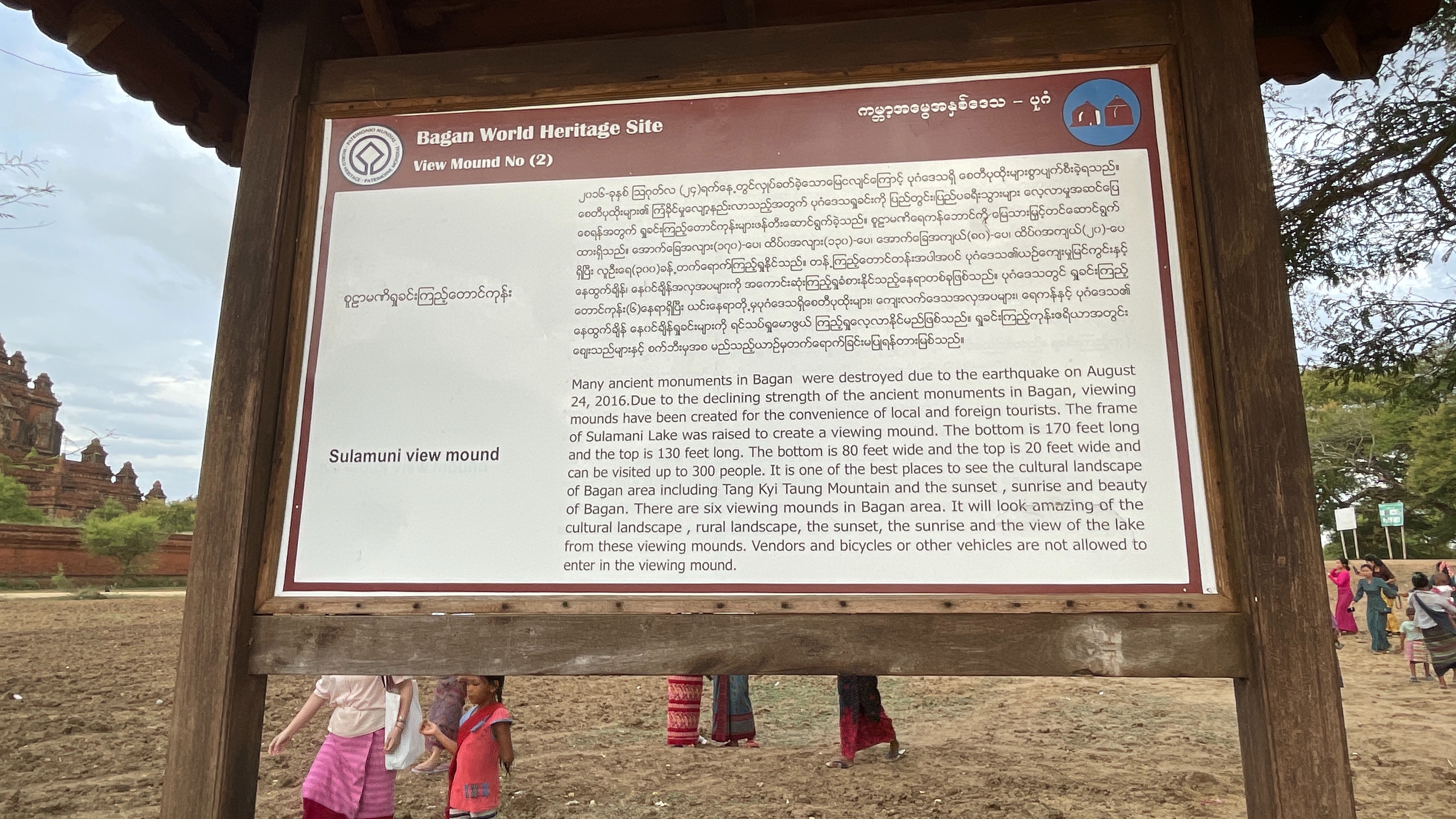
Many ancient monuments in Bagan were destroyed due to the earthquake on August 24, 2016 as well as many others over the centuries. Due to the declining strength of the ancient monuments in Bagan, viewing mounds have been created for the convenience of local and foreign tourists.
The floor of Sulamani Lake was raised to create a viewing mound. The bottom is 170 feet long and the top is 130 feet long. The bottom is 80 feet wide and the top is 20 feet wide and can be visited by up to 300 people.
It is one of the best places to see the cultural landscape of Bagan area including Tang Kyi Taung Mountain and the sunset , sunrise and beauty of Bagan. There are six viewing mounds the in Bagan area. It gives people an amazing look at the cultural landscape, rural landscape, the sunset, the sunrise and the view of the lake from these viewing mounds. Vendors and bicycles or other vehicles are not allowed to enter in the viewing mound but they will set up at the base for shopping or easy ...
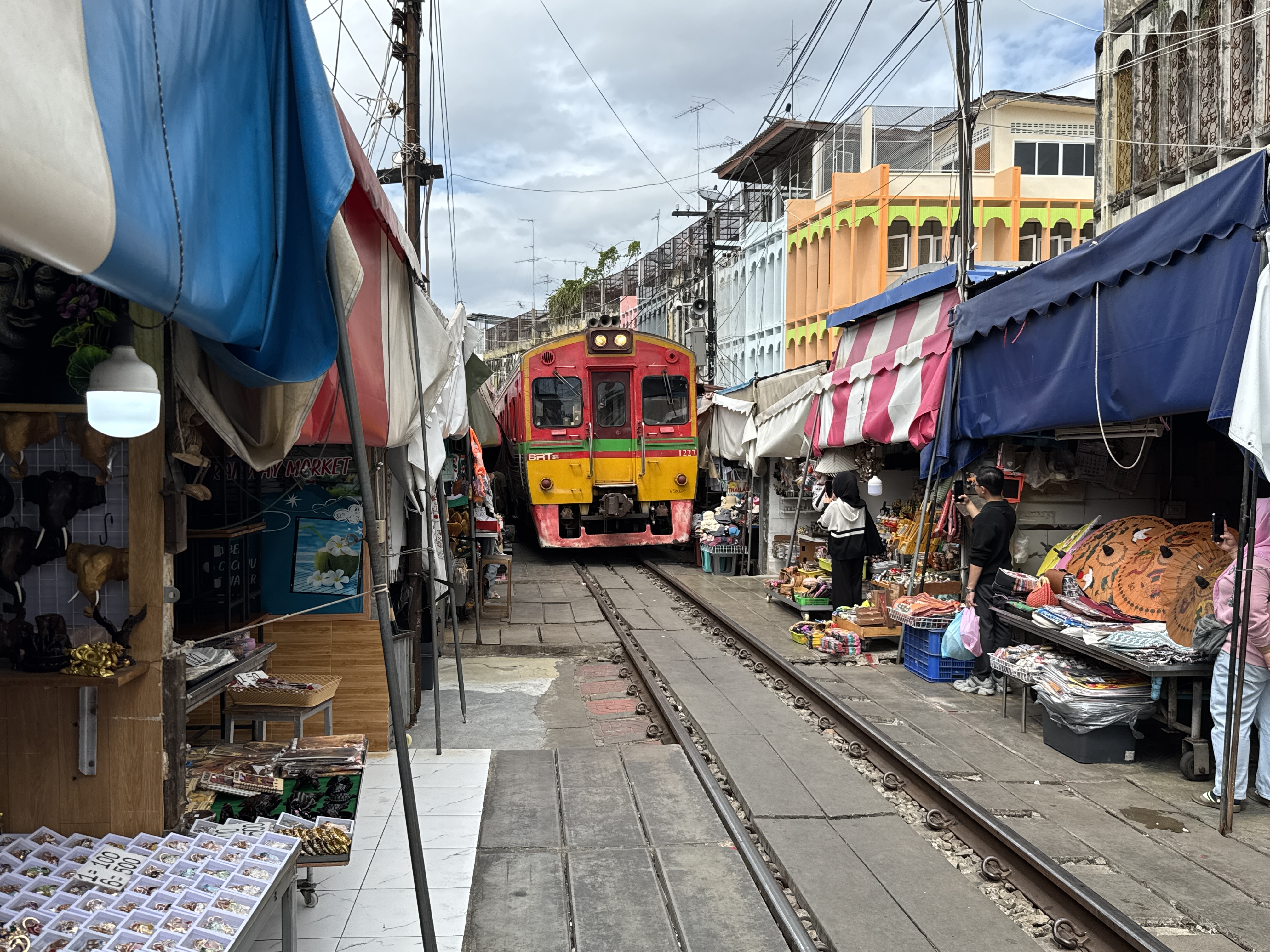
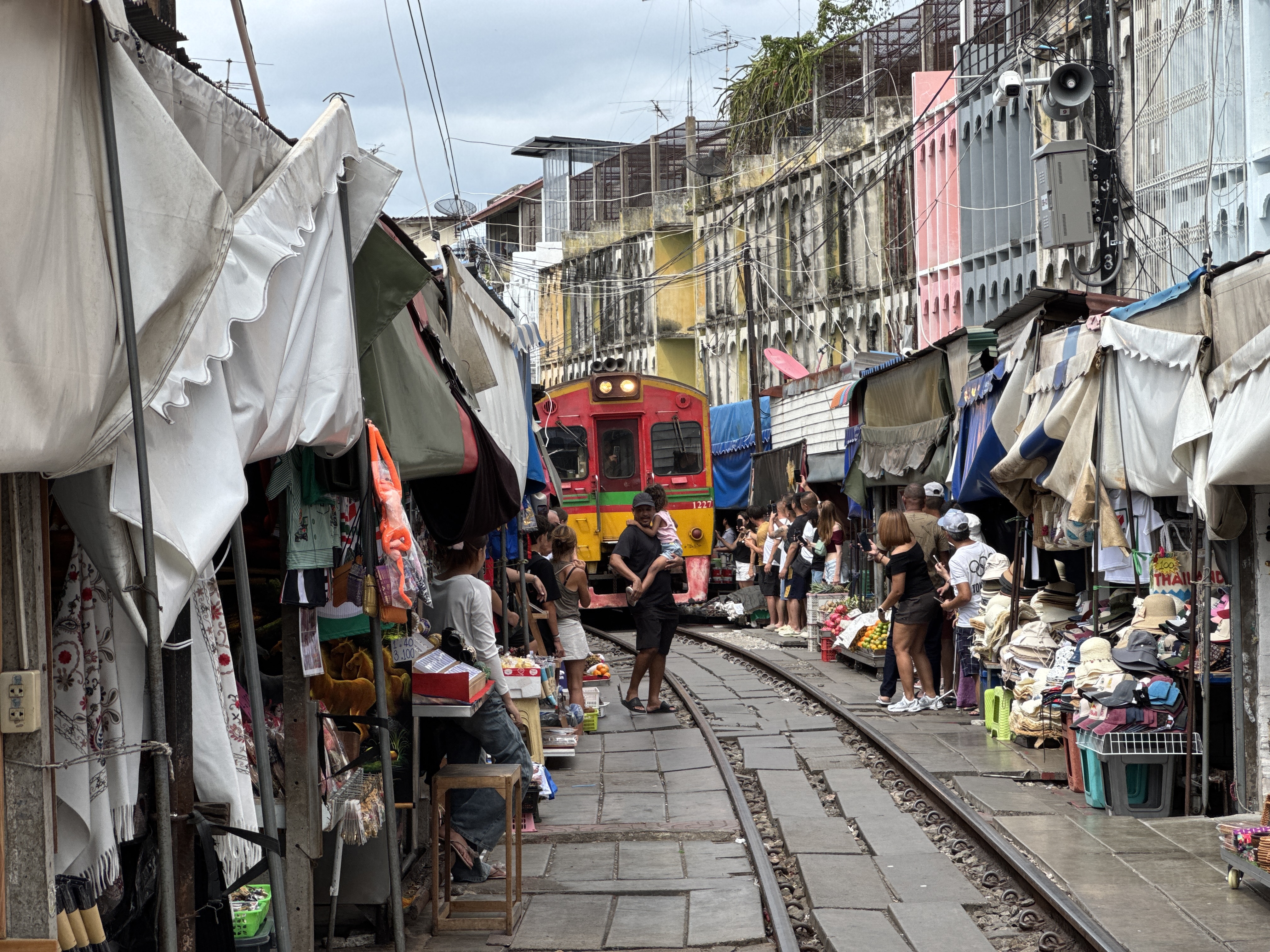
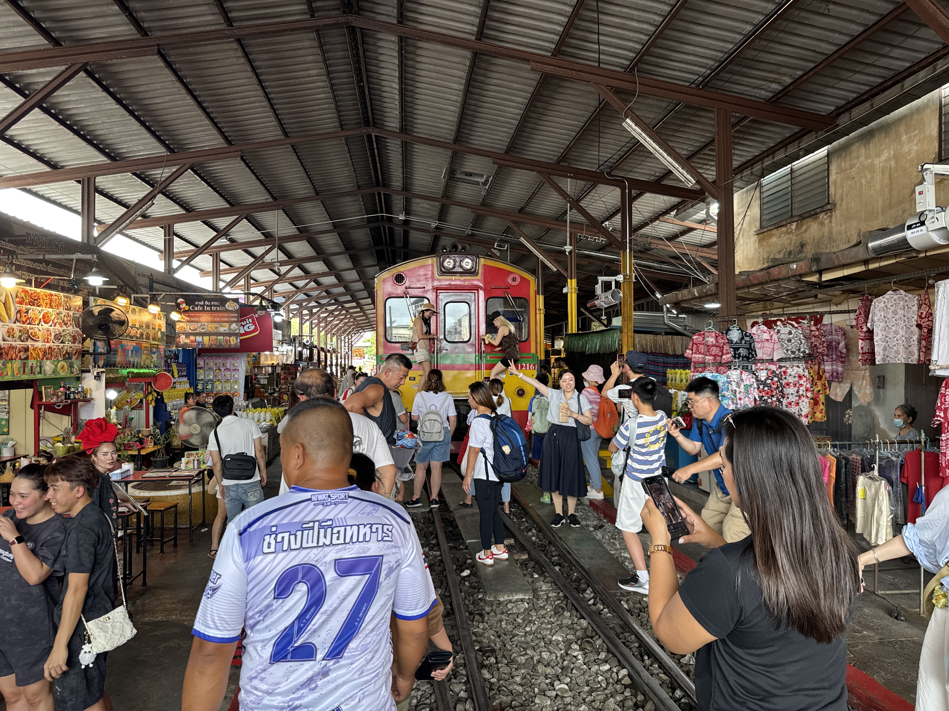
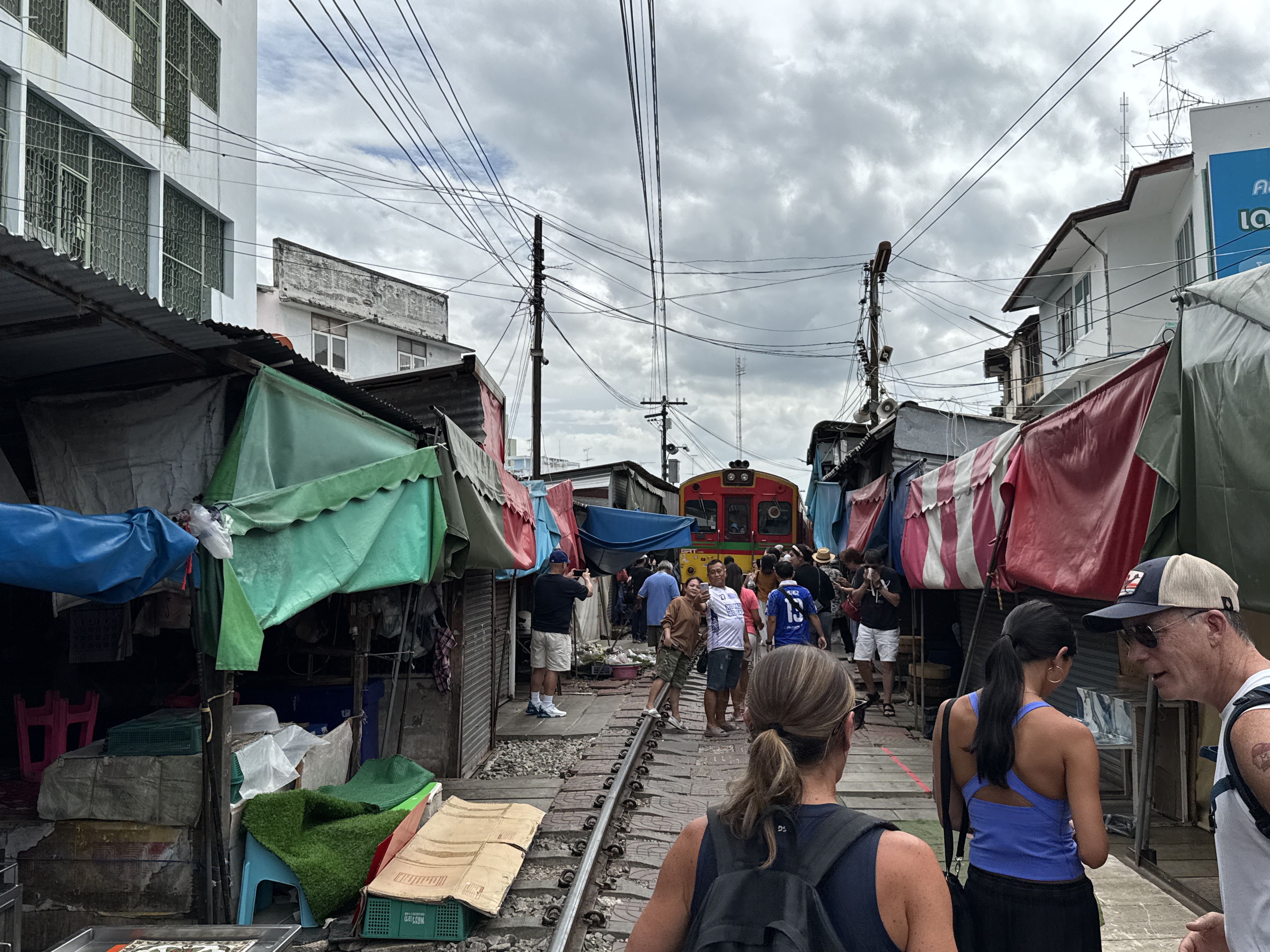
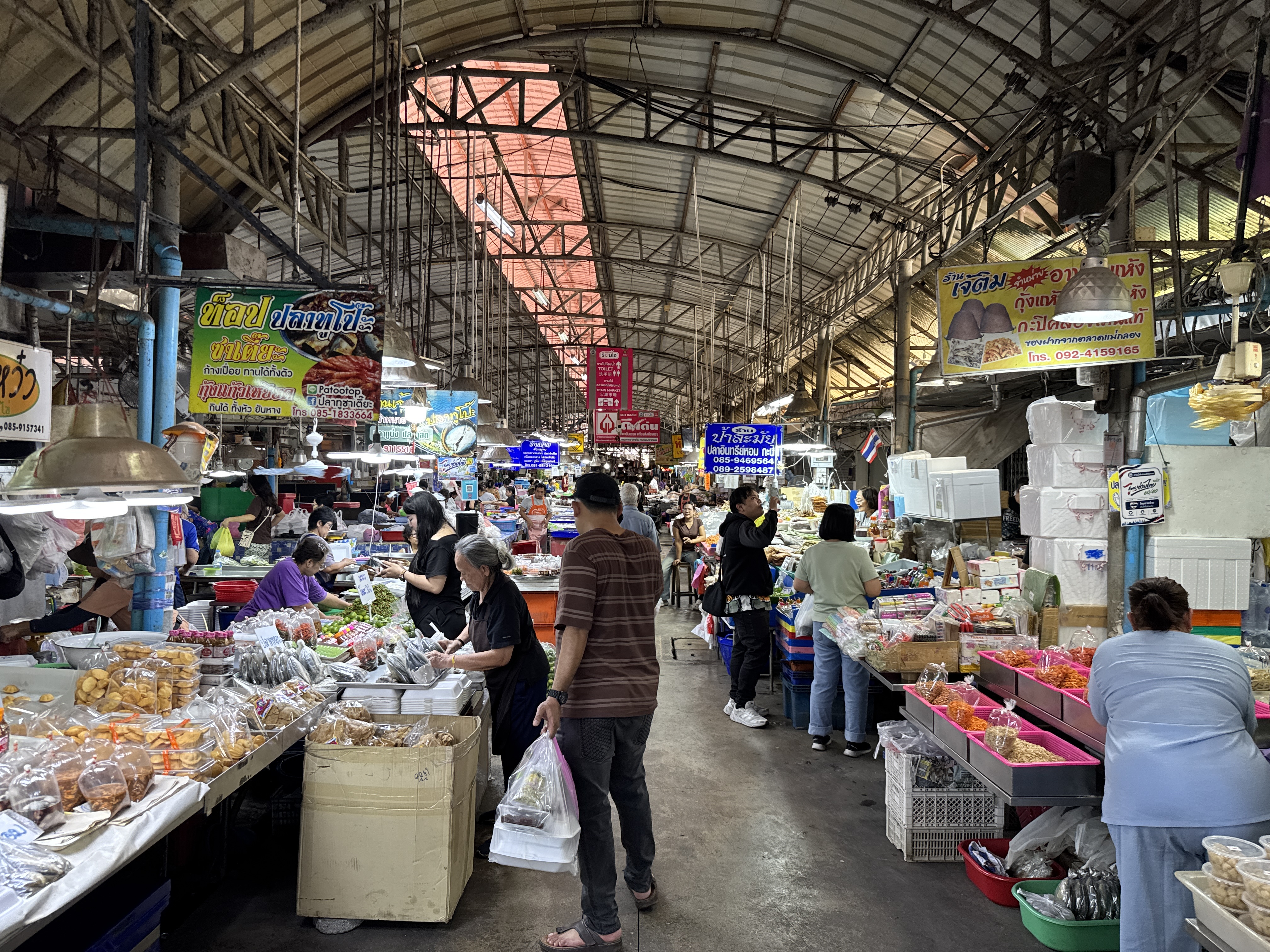
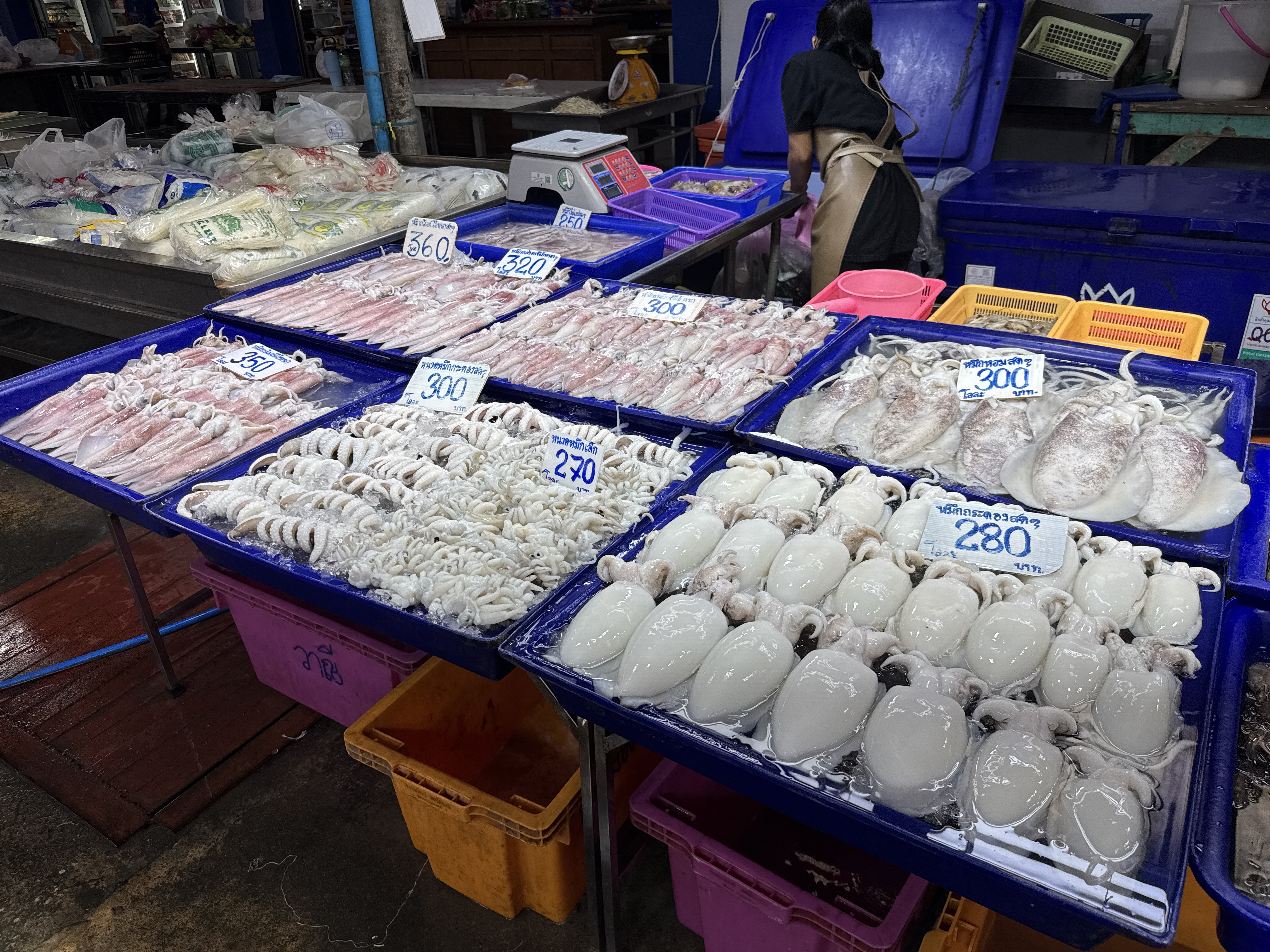
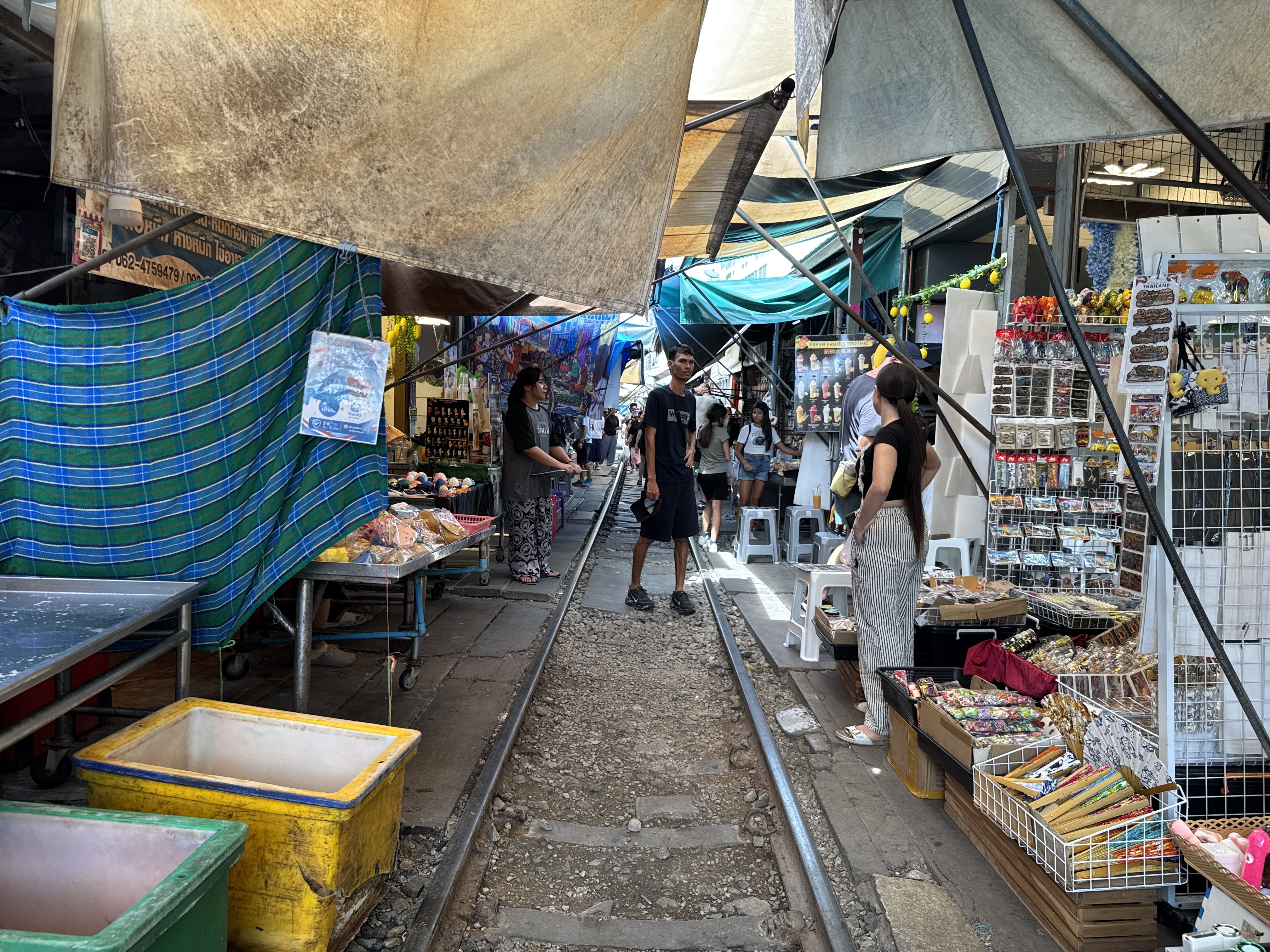
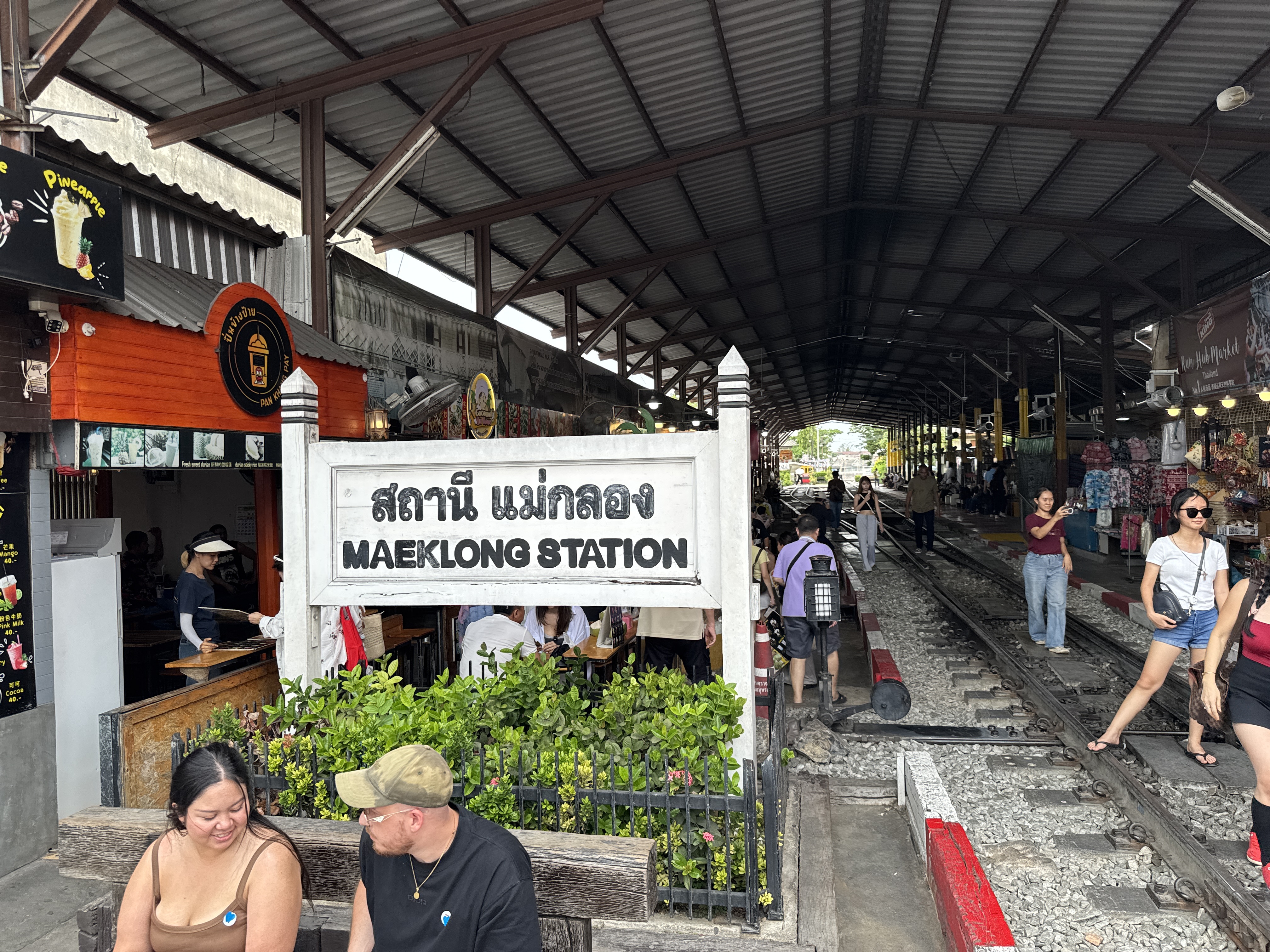
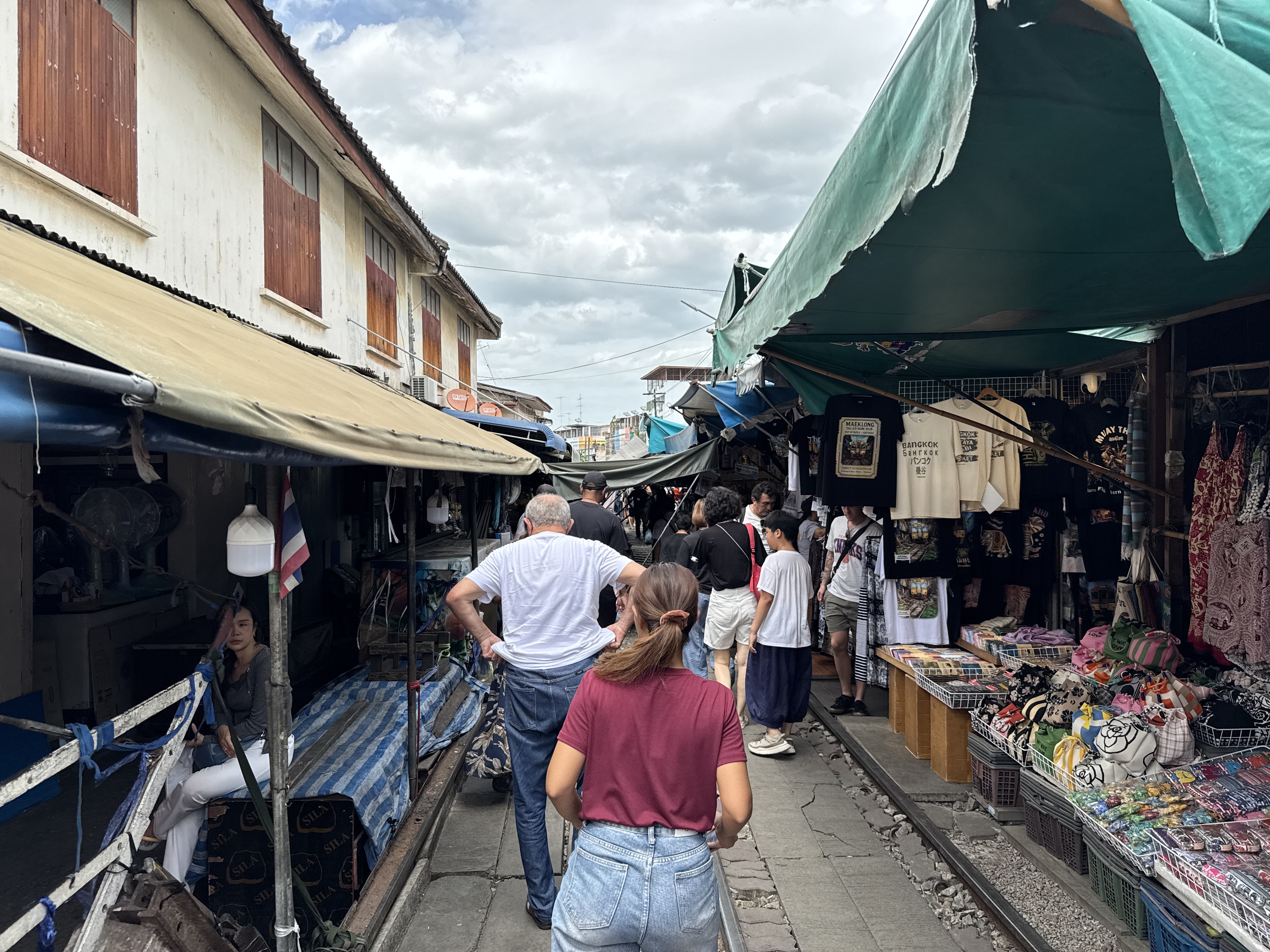
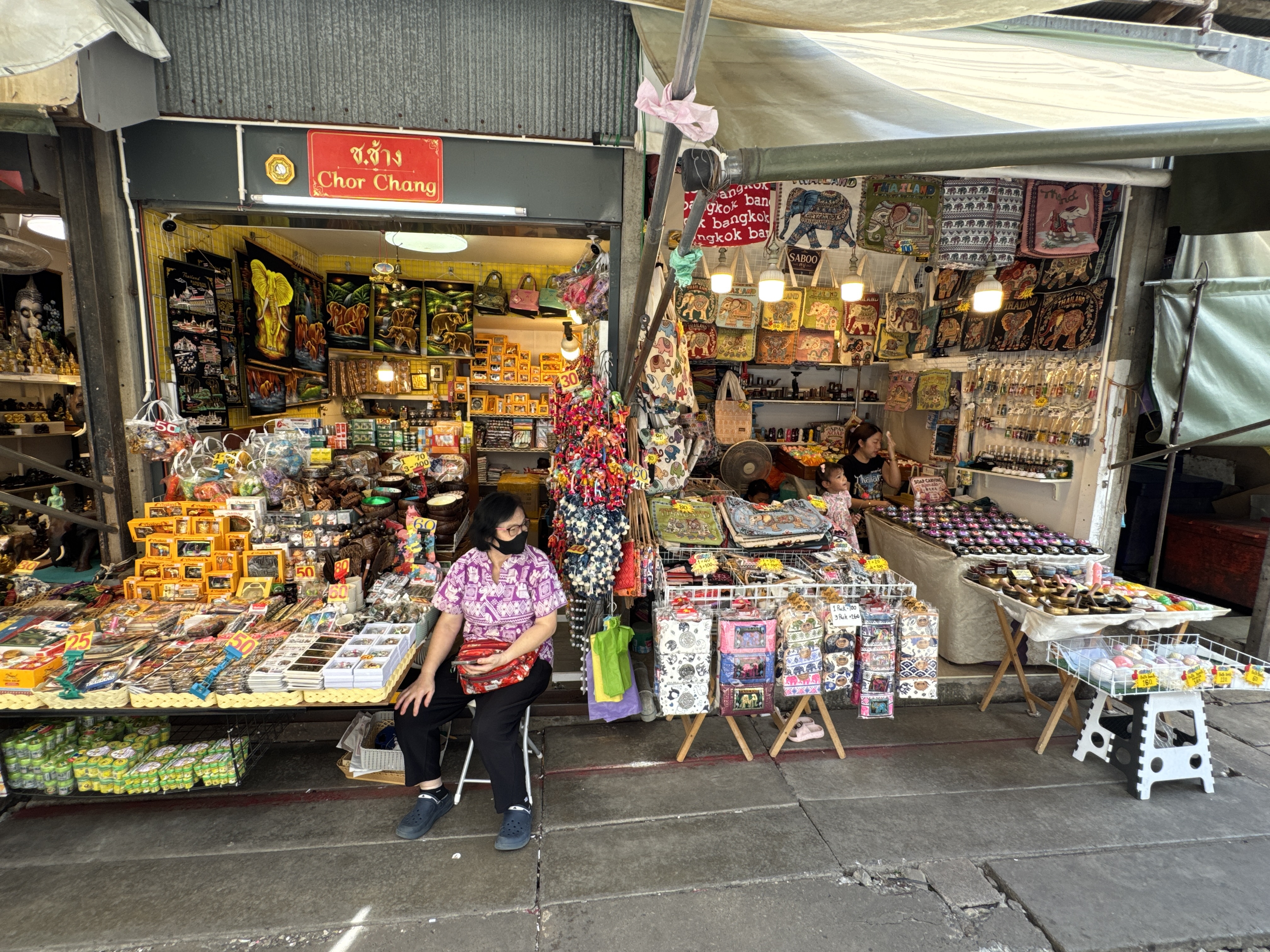
The Maeklong Railway Market, also known as Talat Rom Hup or the Umbrella Pulldown Market, is a vibrant fresh seafood and produce market located in Samut Songkhram Province, about 80 kilometers southwest of Bangkok in central Thailand.
Its unique character stems from the active railway line that runs directly through the heart of the market stalls, creating a spectacle where vendors must swiftly retract their awnings and goods whenever a train approaches, only to resume business moments after it passes. This market has become one of Thailand’s most iconic tourist attractions, blending everyday local commerce with the precision of rail operations in a way that feels both chaotic and harmonious.
The market’s origins trace back to around 1905, when it began as a typical local trading hub for the fishing and farming communities in the area near the Gulf of Thailand estuary. Fishing has long been a primary livelihood here, and the market served as a central spot for selling fresh seafood, fruits, ...
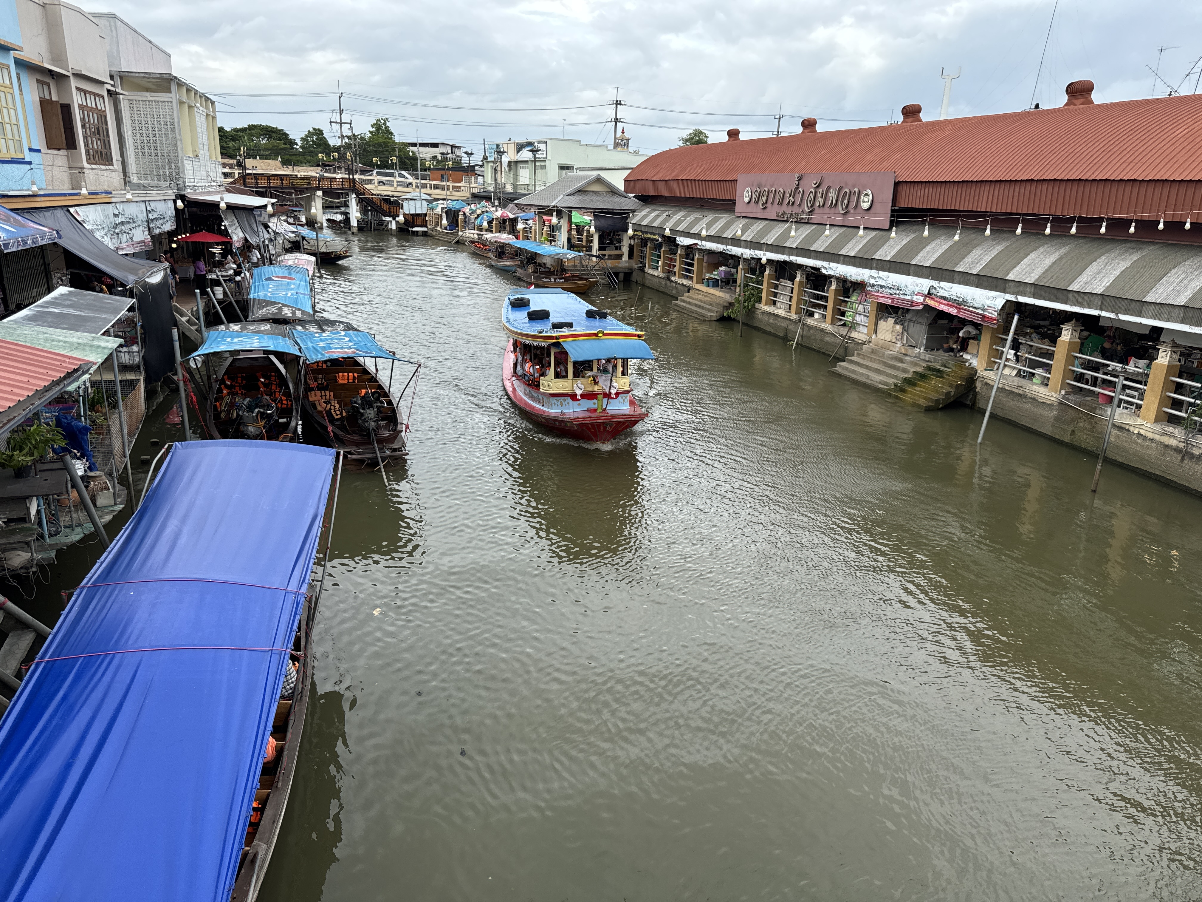
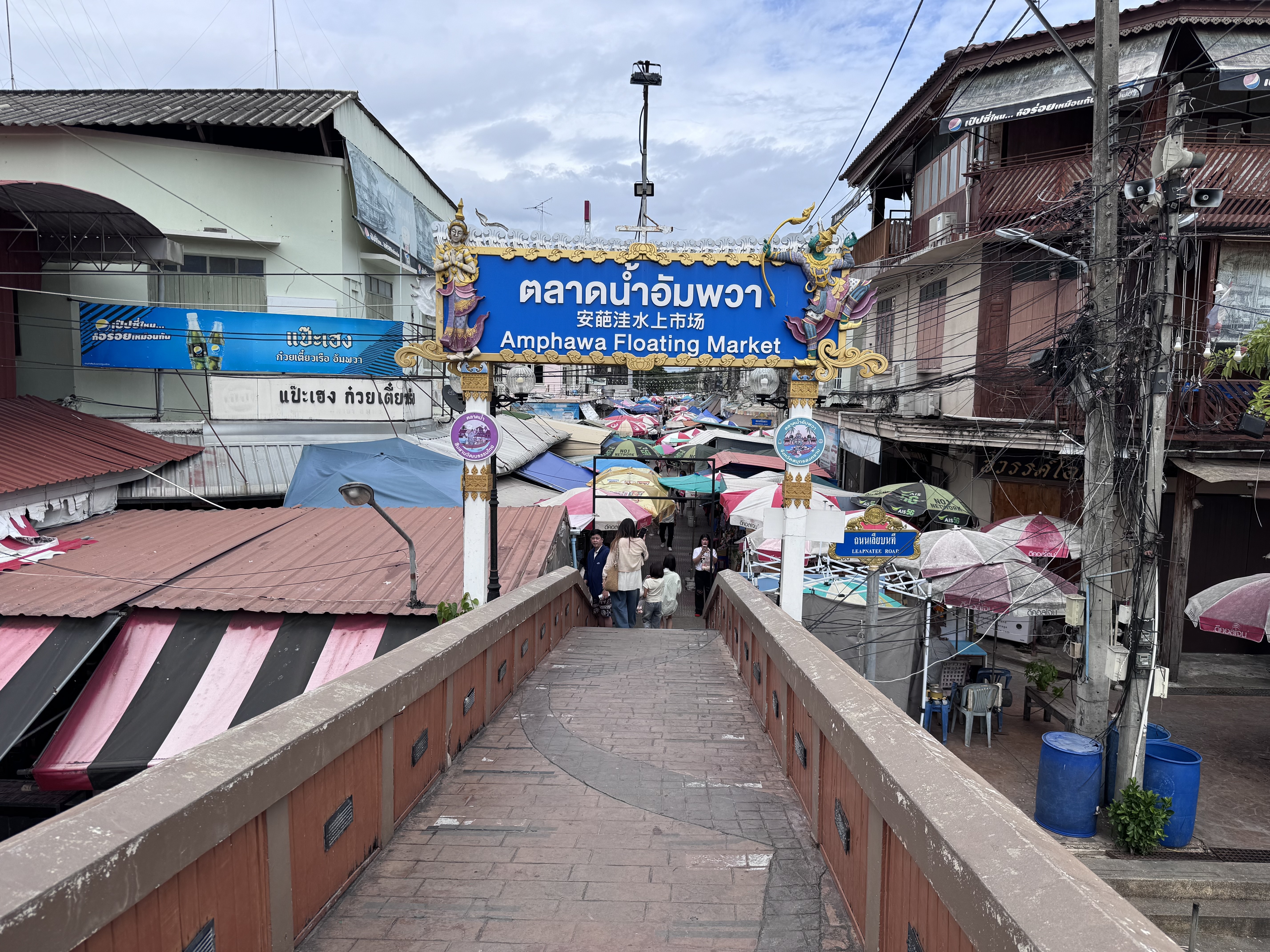
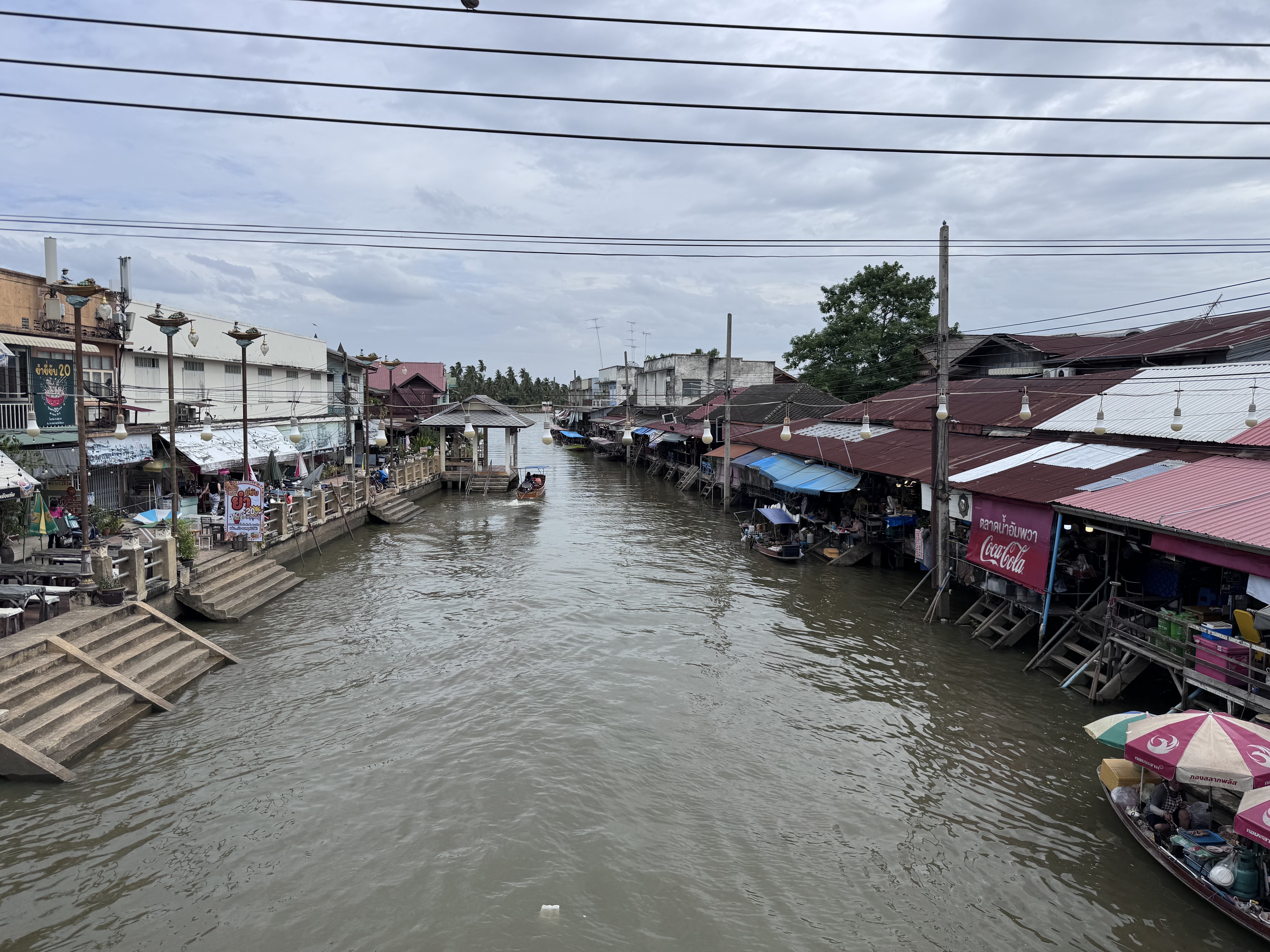
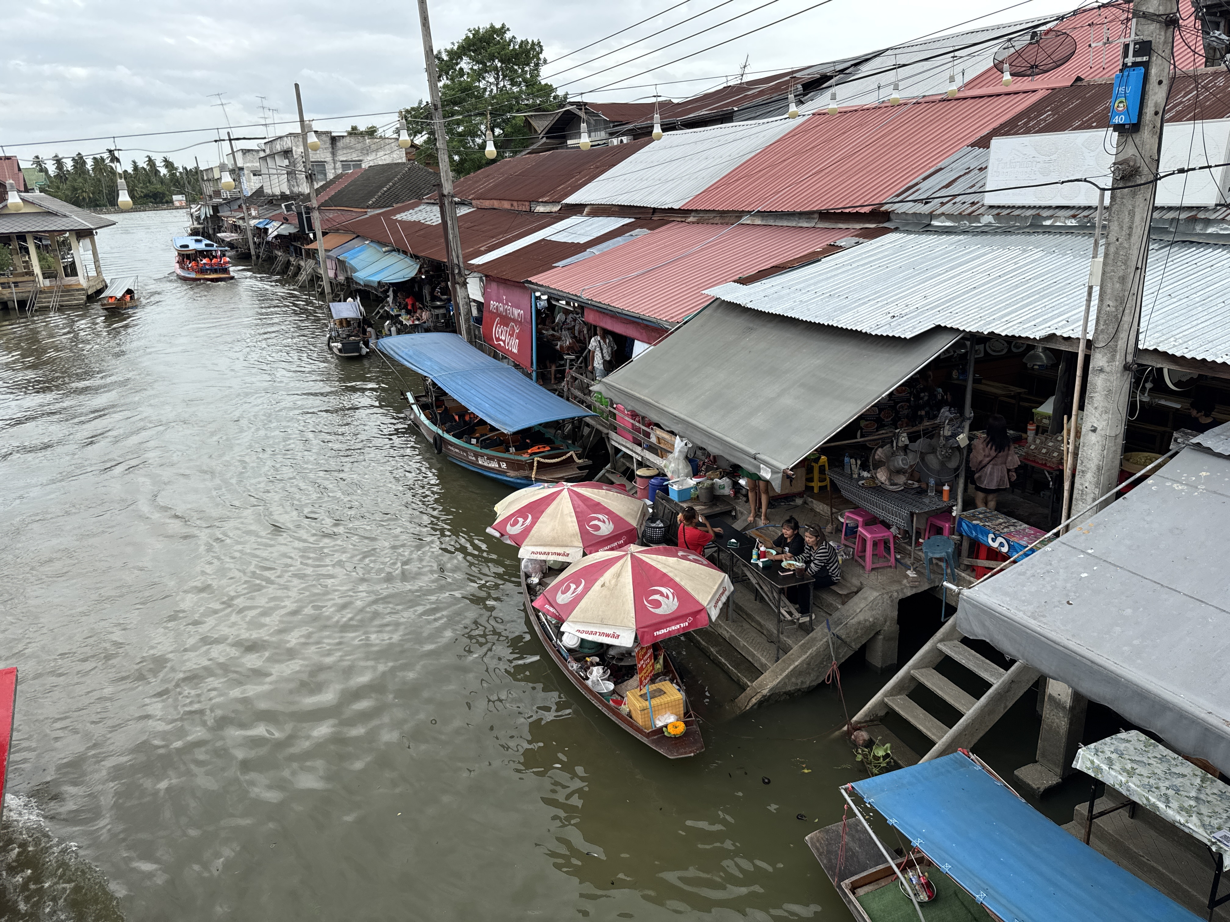
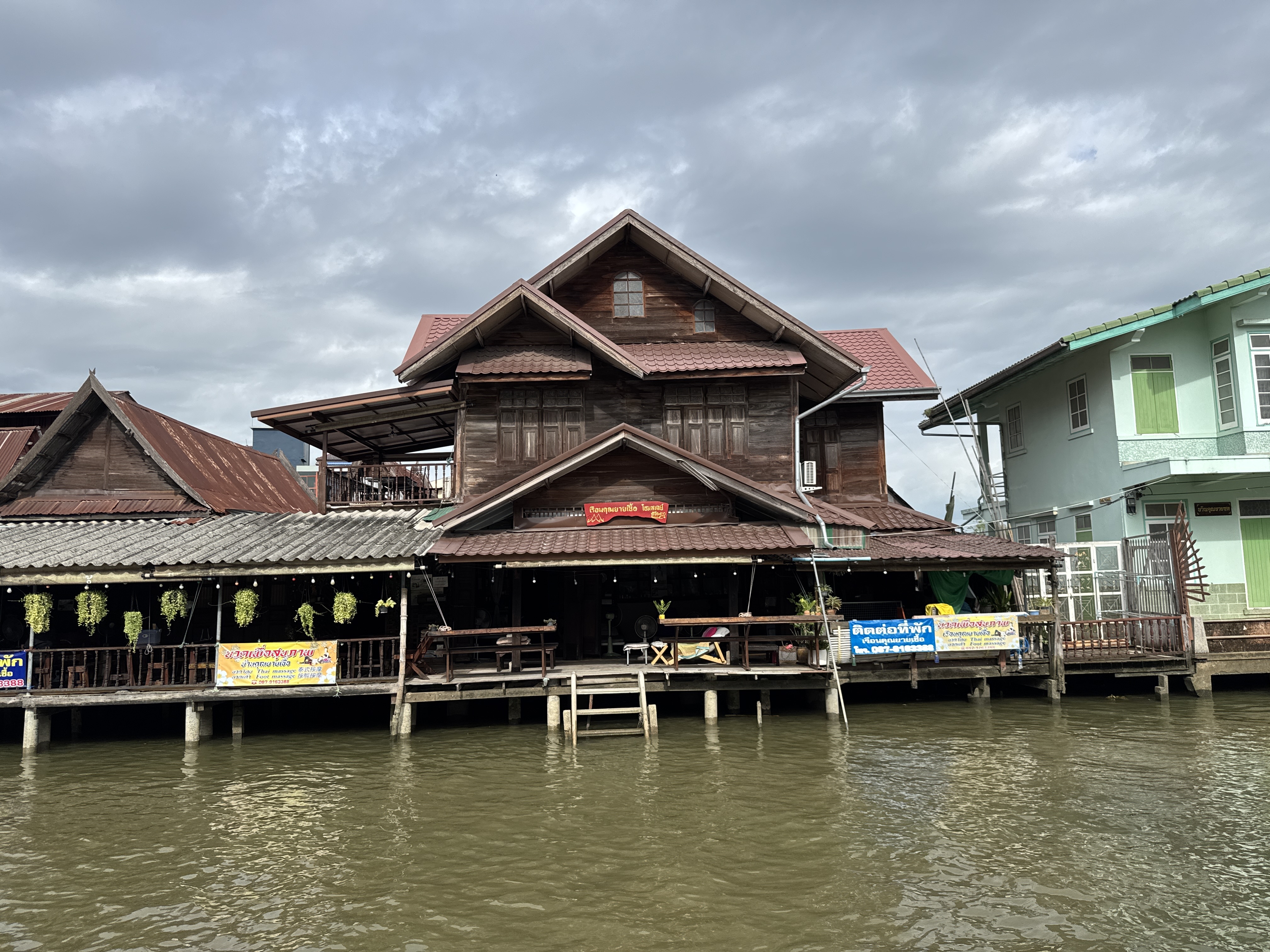
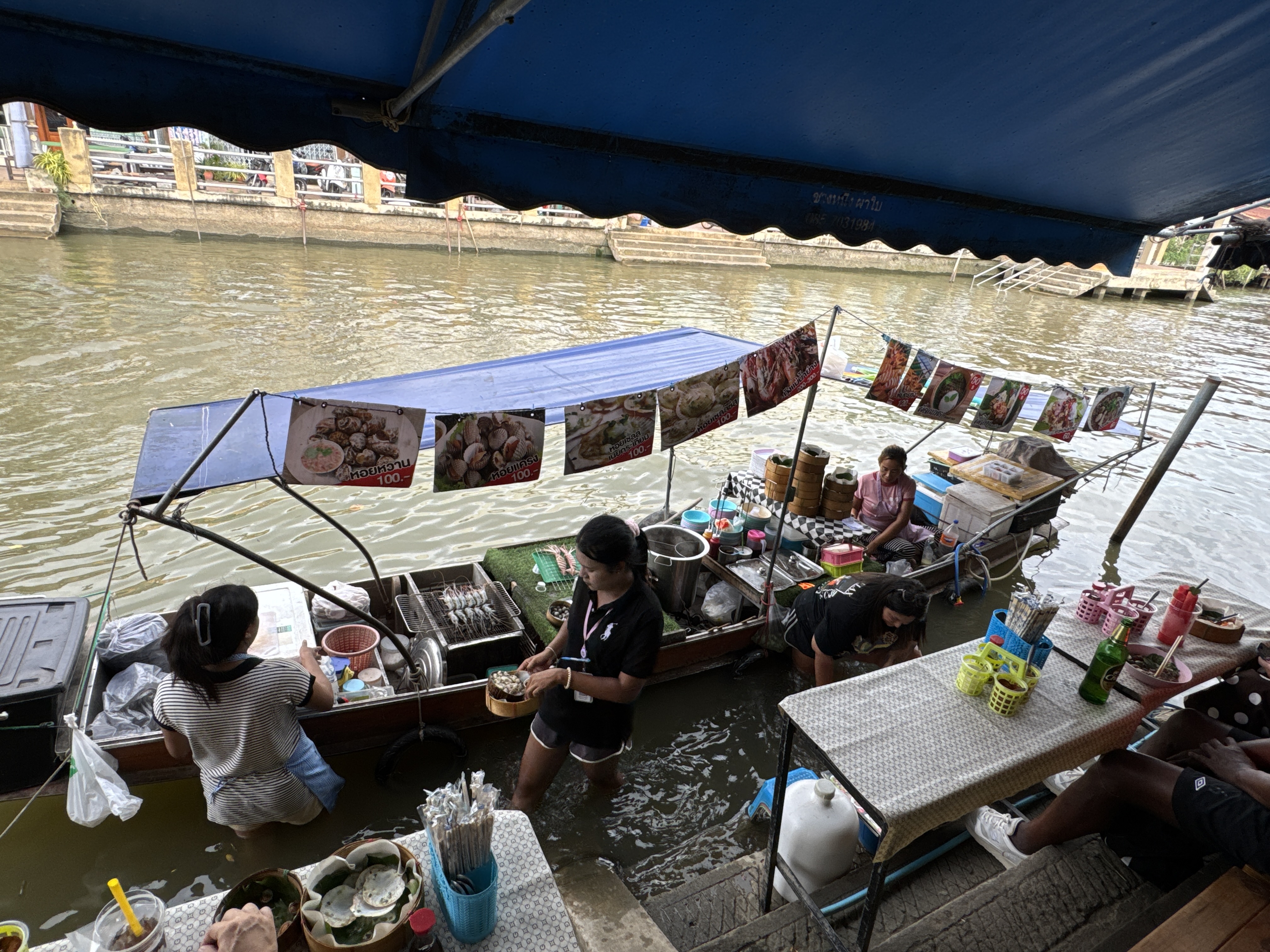
Amphawa Floating Market or Amphawa Evening Market is one of the largest and oldest floating markets in Thailand. The market is located in Samut Songkhram province, just 70 kilometers southwest of Bangkok and it takes approximately 1.5 hours to get there from the Thai capital.
As Amphawa Floating Market is not far from Bangkok, it makes this place a popular weekend destination for both locals and tourists who like to come here and enjoy a relaxing Thai style shopping atmosphere.
Amphawa has a long history reflecting Thai heritage. It was considered to be an important water transportation hub of Samut Songkhram province. Not surprisingly, Amphawa was also a commercial hub with a large floating market and waterfront community.
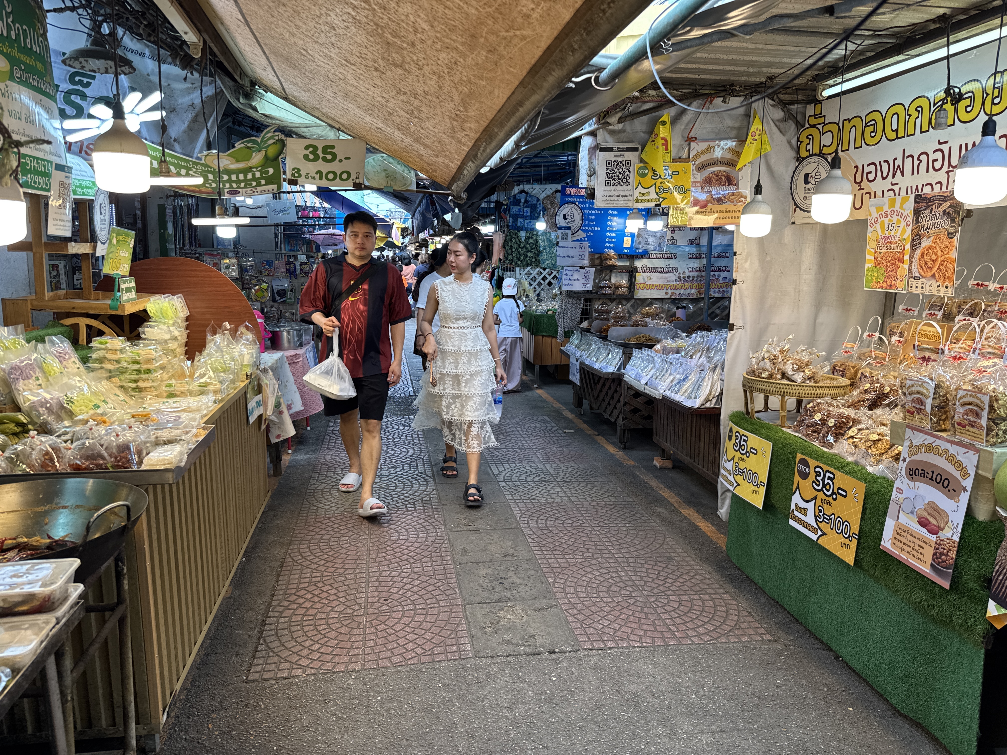
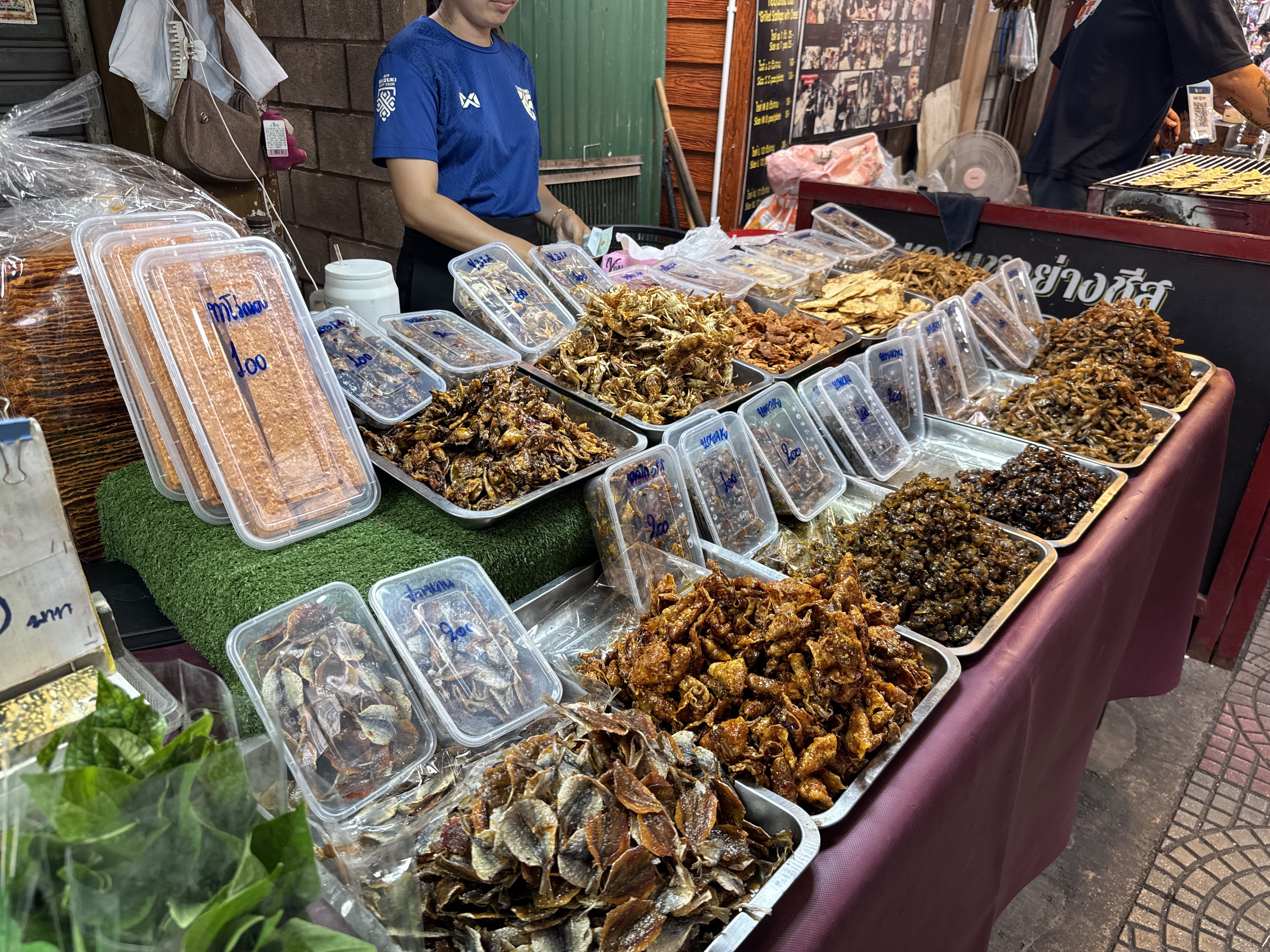
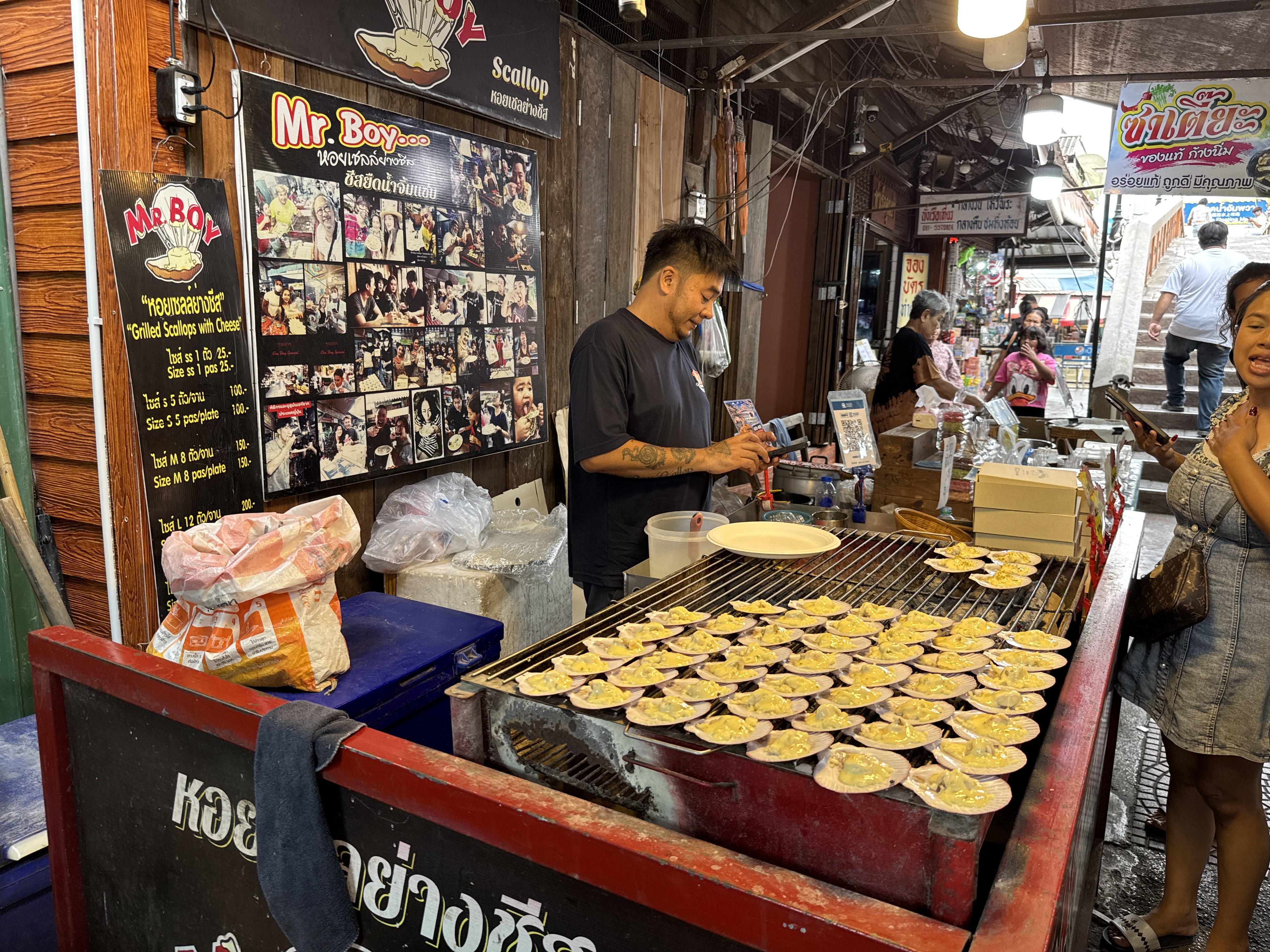
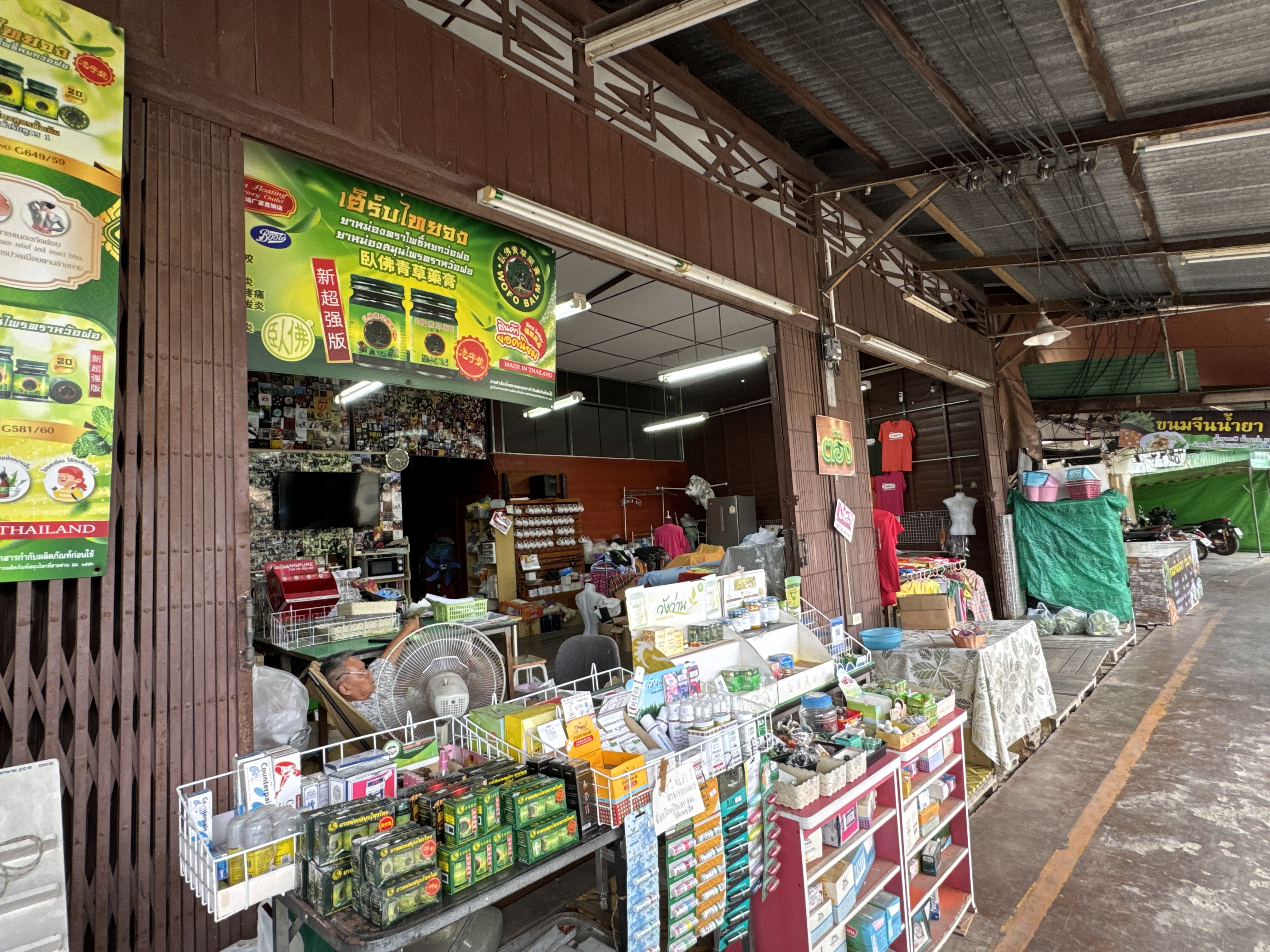
One of the highlights of Amphawa Floating Market is a large selection of delicious food. With the abundance of Samut Songkhram province, many fresh vegetable and fruit shops are lined up waiting for buyers.
At Amphawa Floating Market you can expect to see vendors selling ...
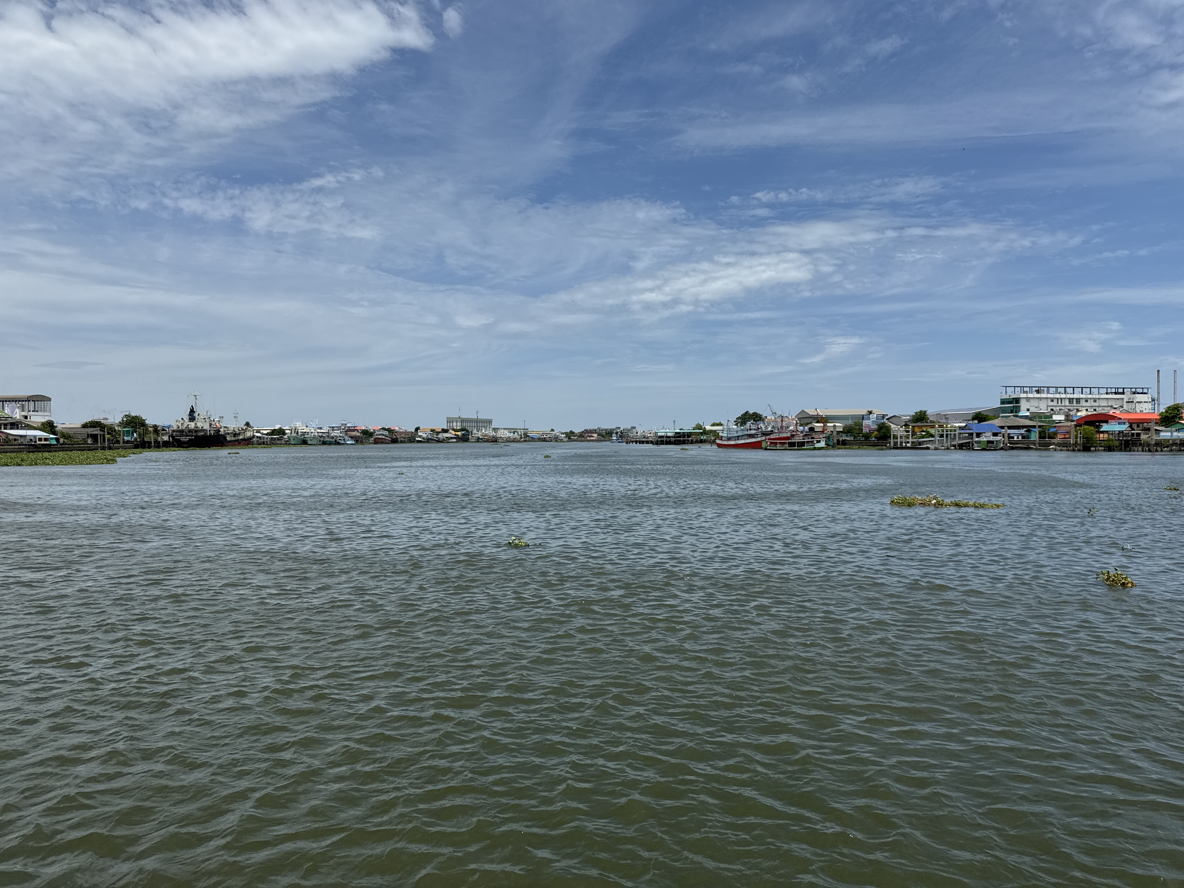
Mahachai is a small town located in the Samut Sakhon province of Thailand, about an hour drive from central Bangkok.
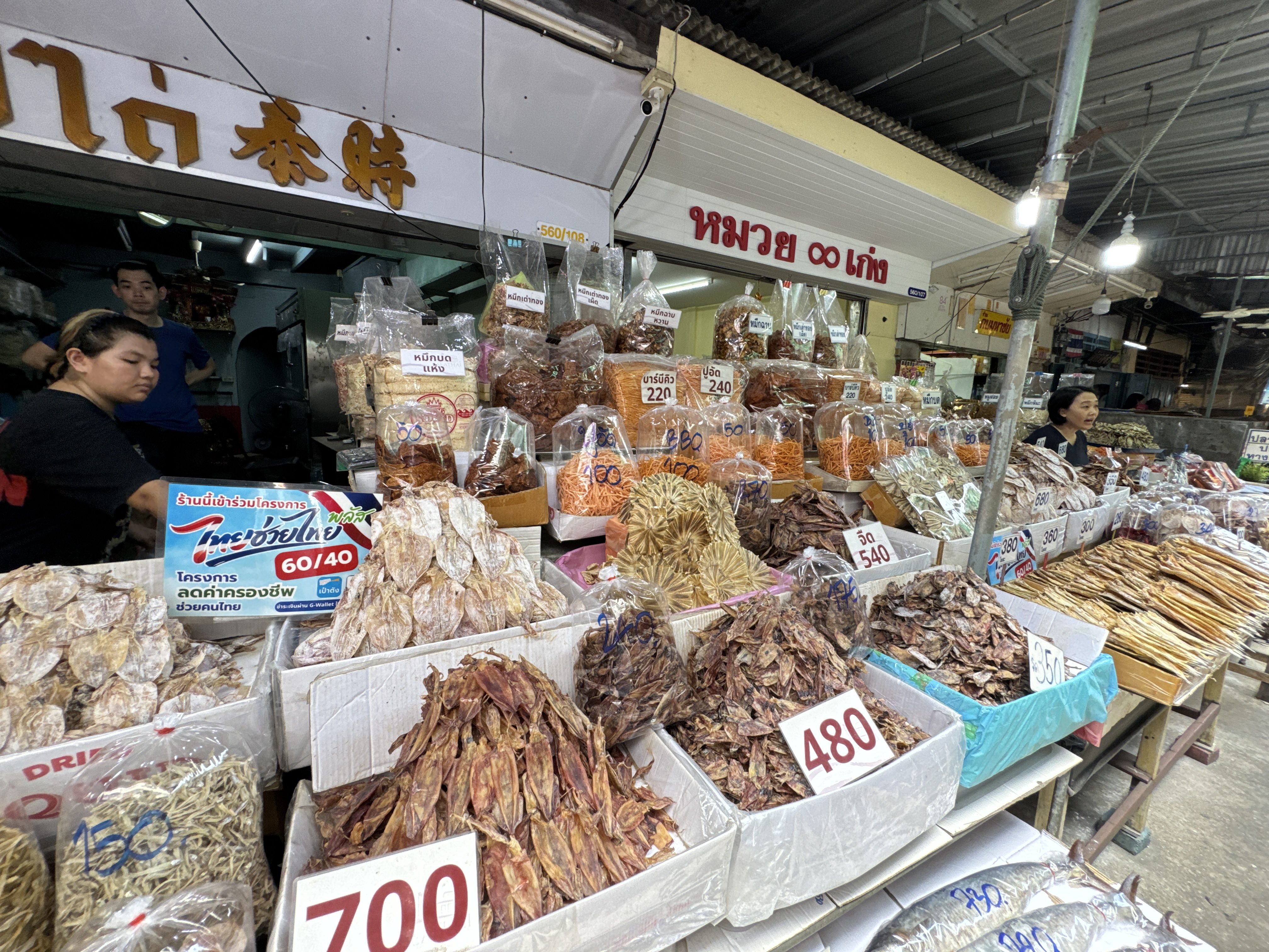
Mahachai has one of the largest fresh seafood markets in Thailand, and it's one of the main seafood distribution centers that cater to the hungry population of Bangkok.
Seafood producers from around the country go to Mahachai to sell their catch, which is then bought and sold to seafood dealers.
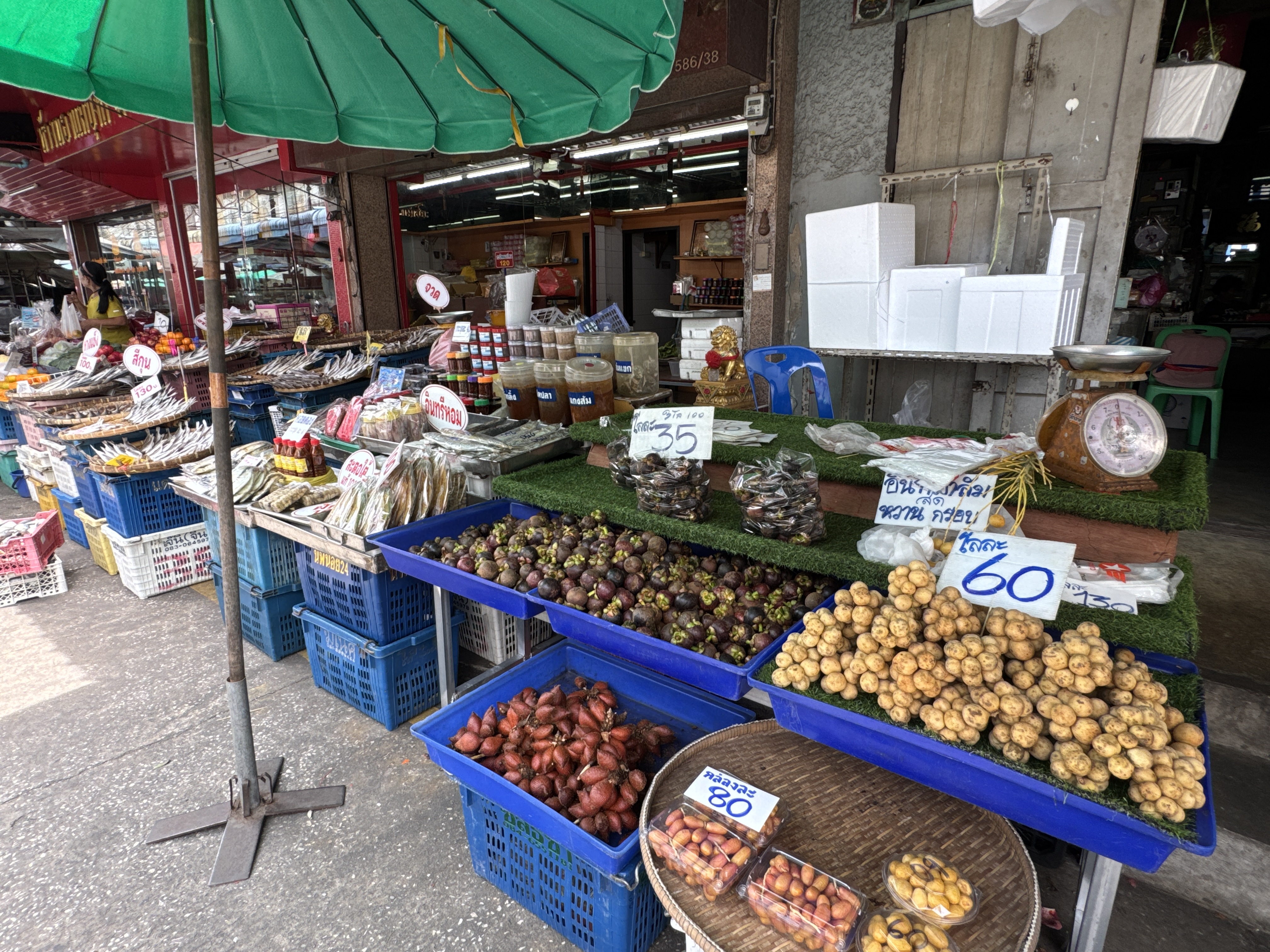
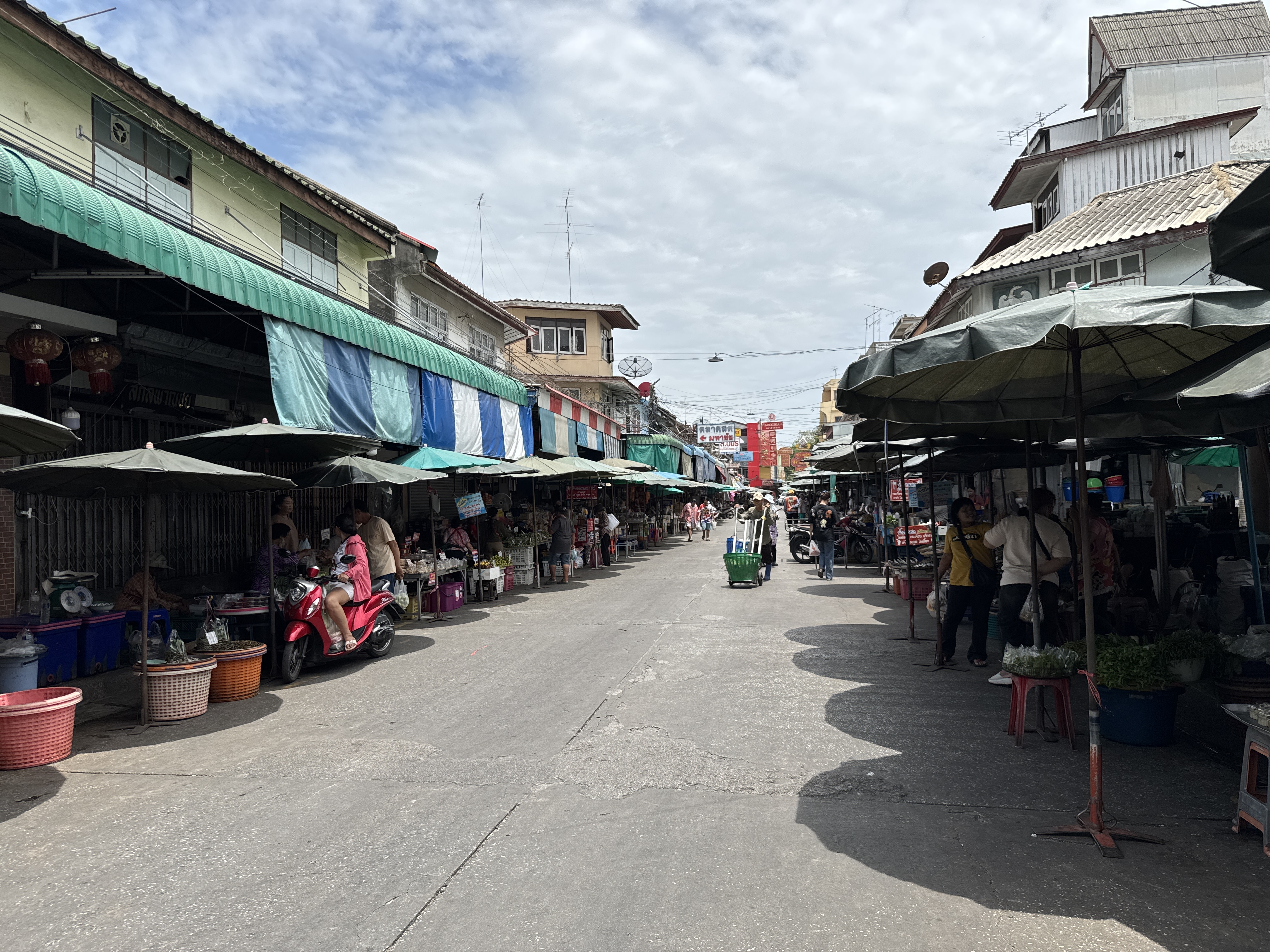
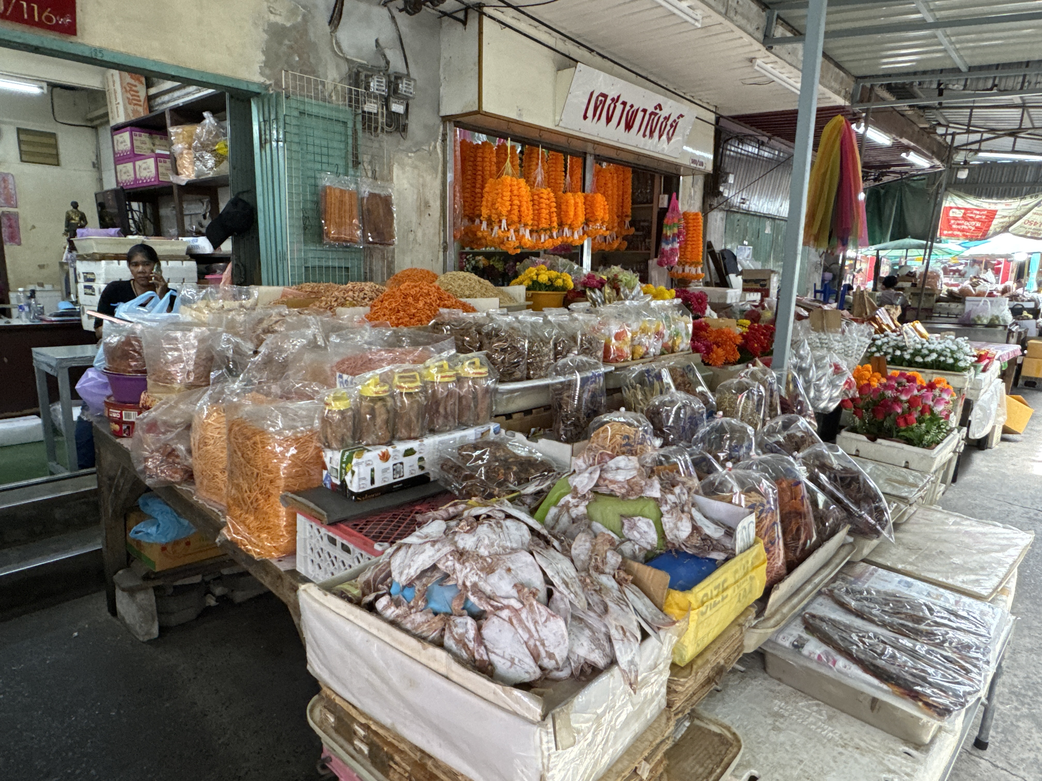
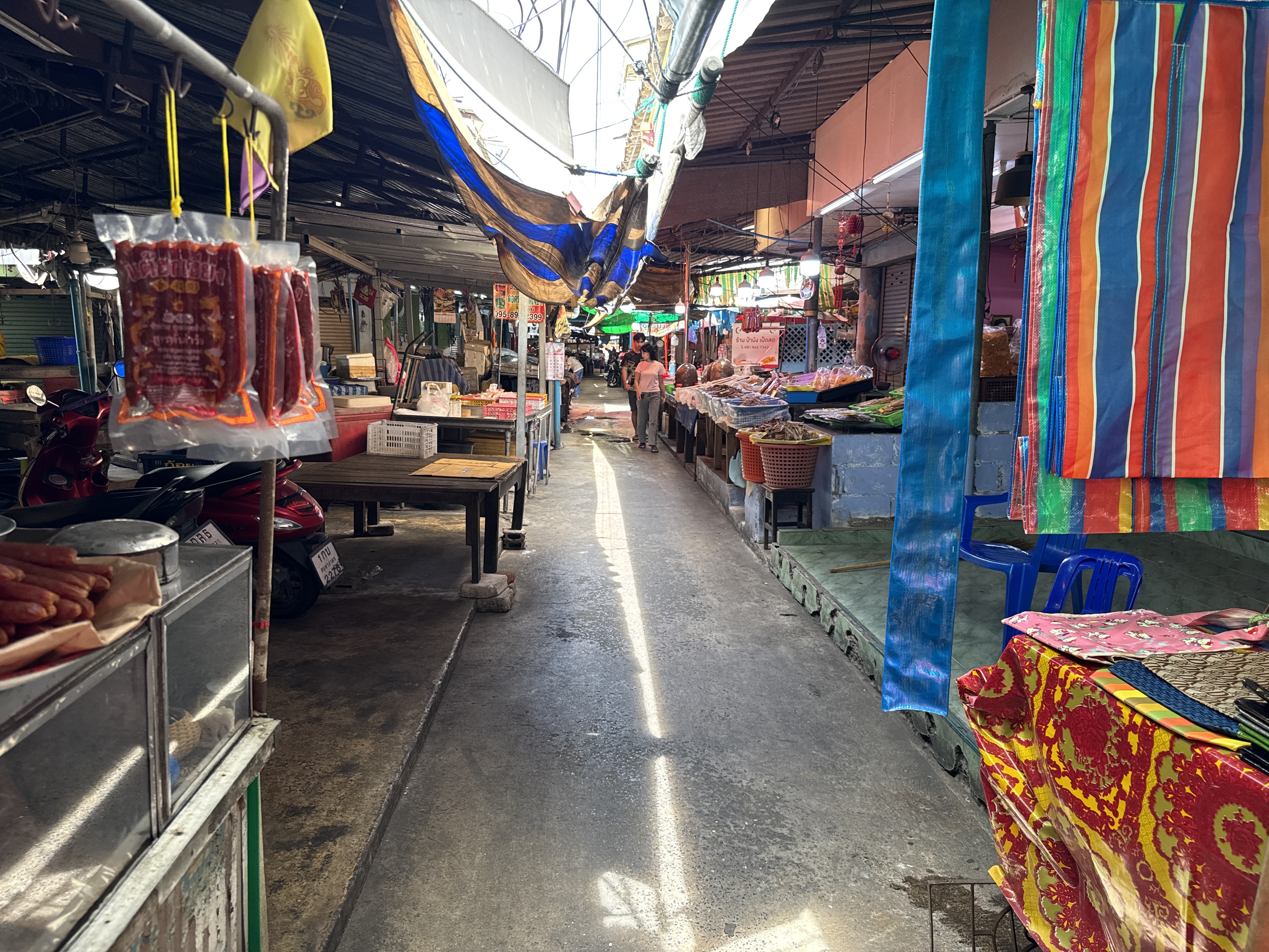
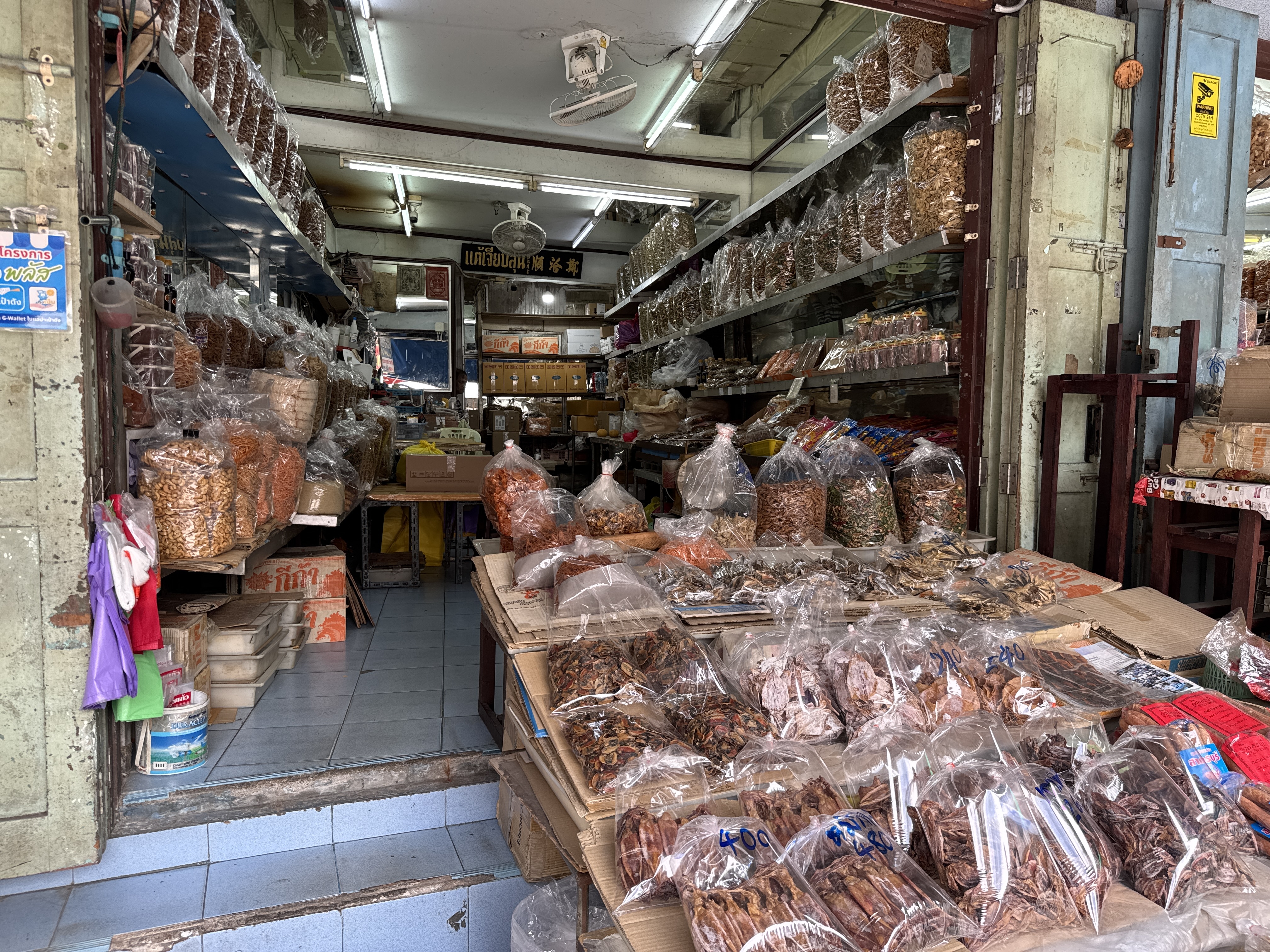
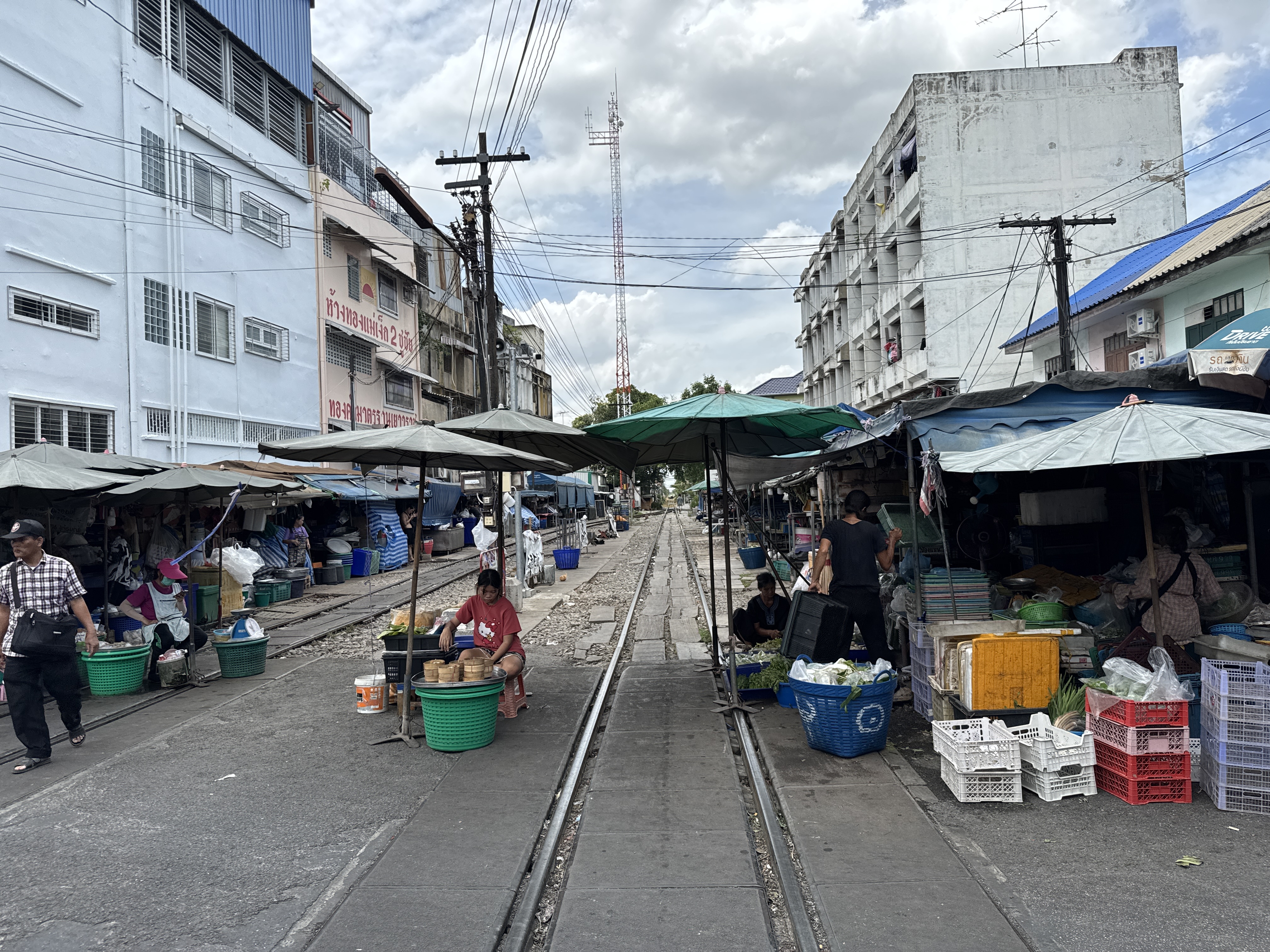
In addition to the huge seafood market is a much smaller and lessor known railroad market. Most people pass through here to see the much more famous Maeklong Market without even knowing how fantastic this area is. A few vendors set up on the tracks but that is just the start for shopping.
If you are a seafood lover there is plenty to choose from here. There are countless other shops selling snacks, clothes and so much more.
It’s a short train ride or drive from Bangkok and worth a visit for the waterfront, market and temples.
Mahachai Railroad and Seafood Market - Samut Sakhon ...