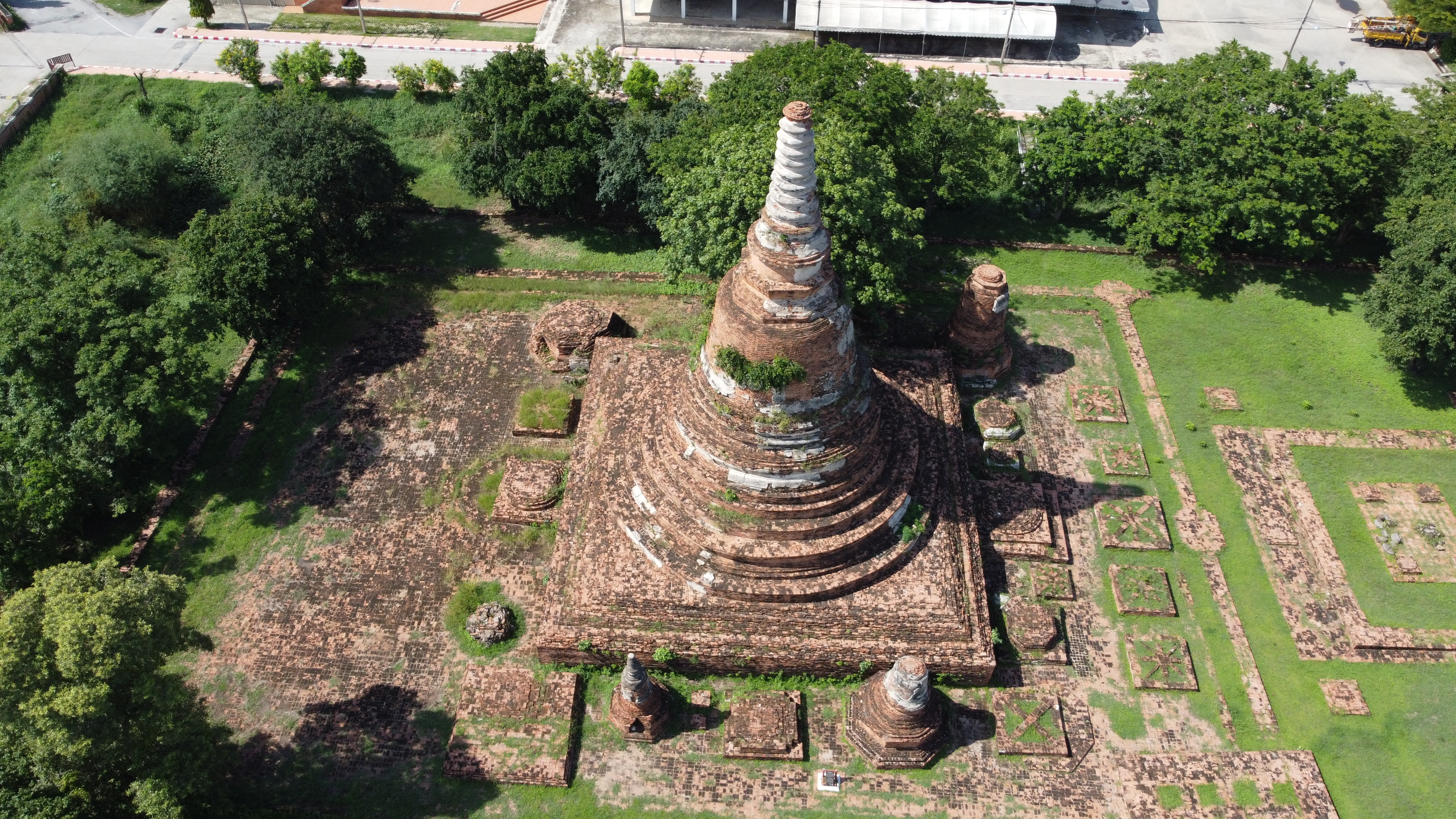
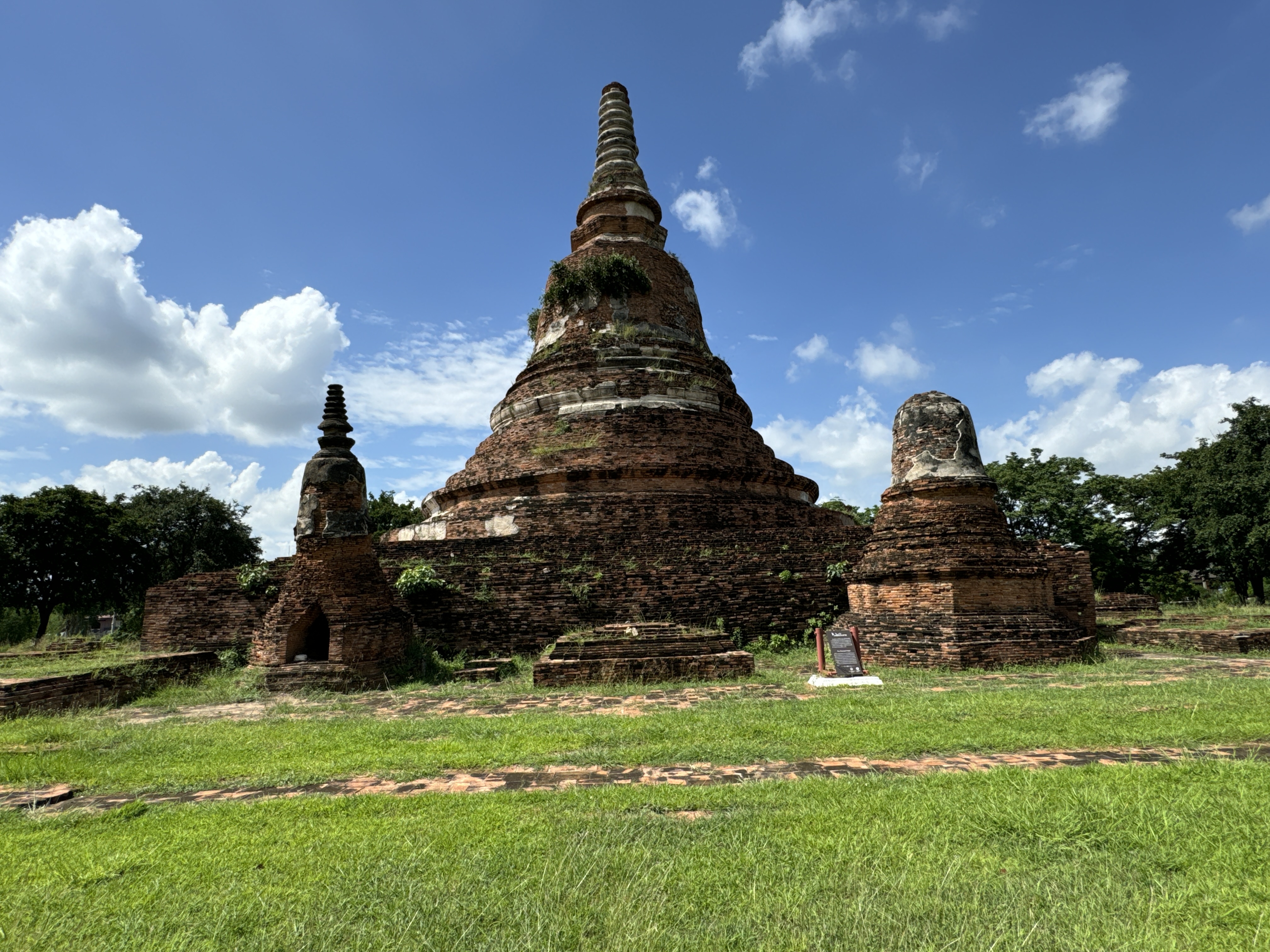
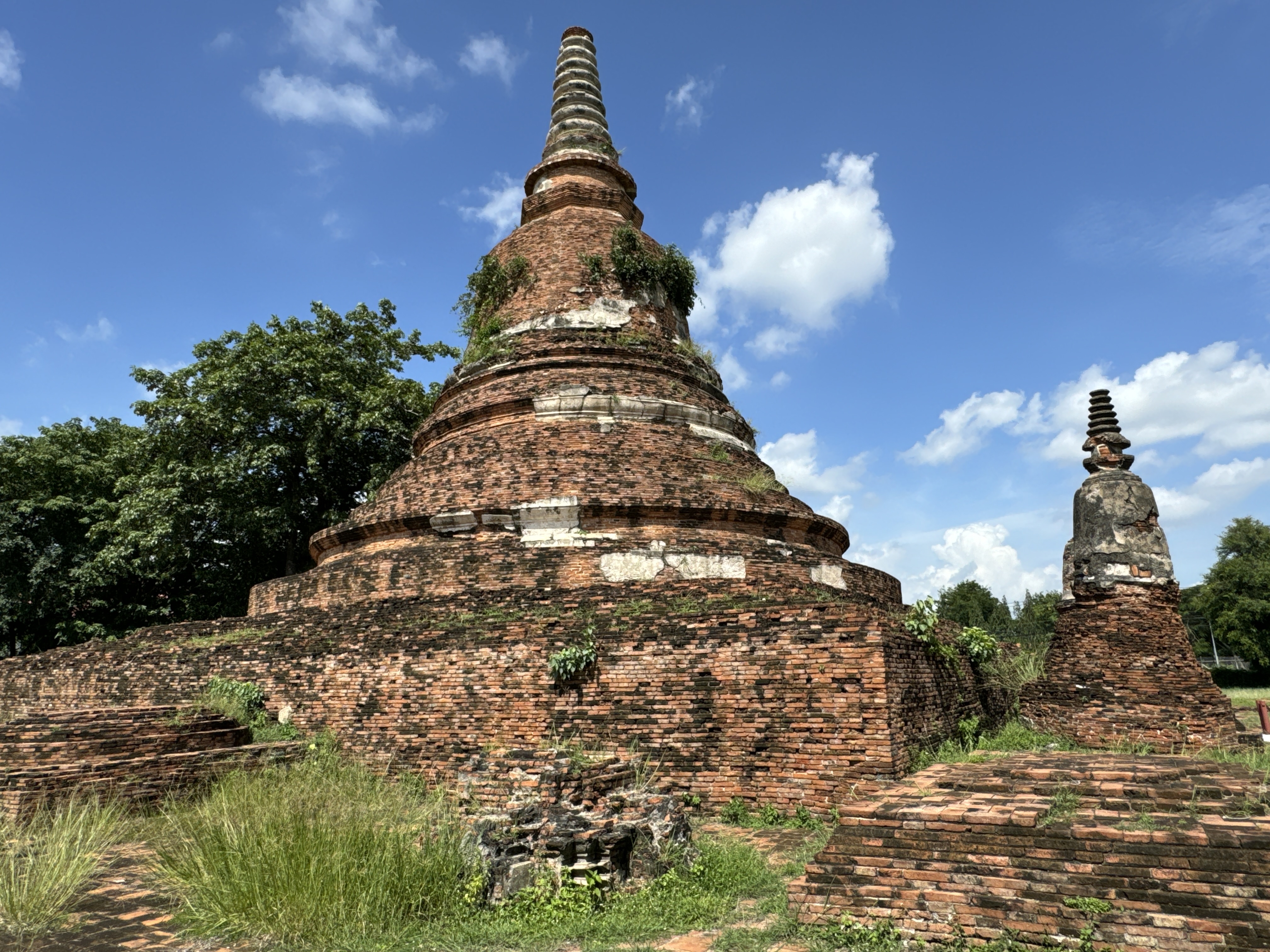
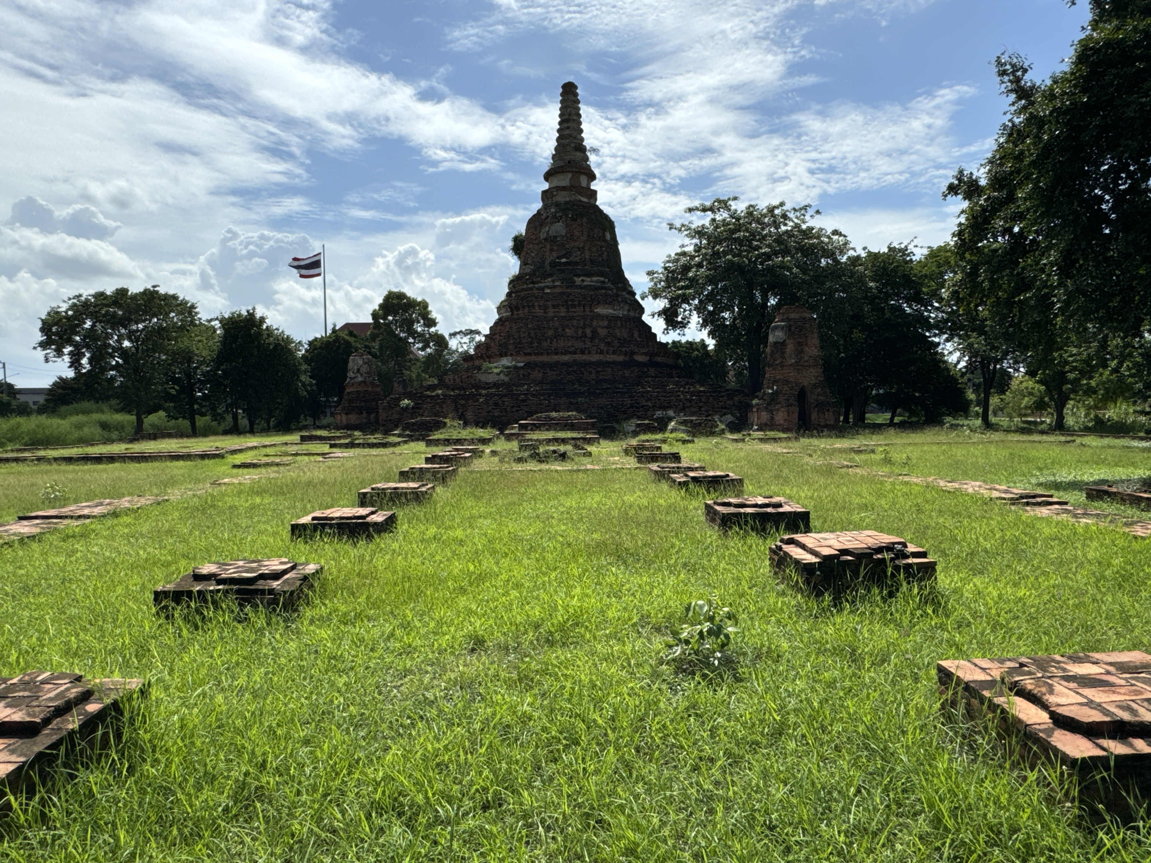
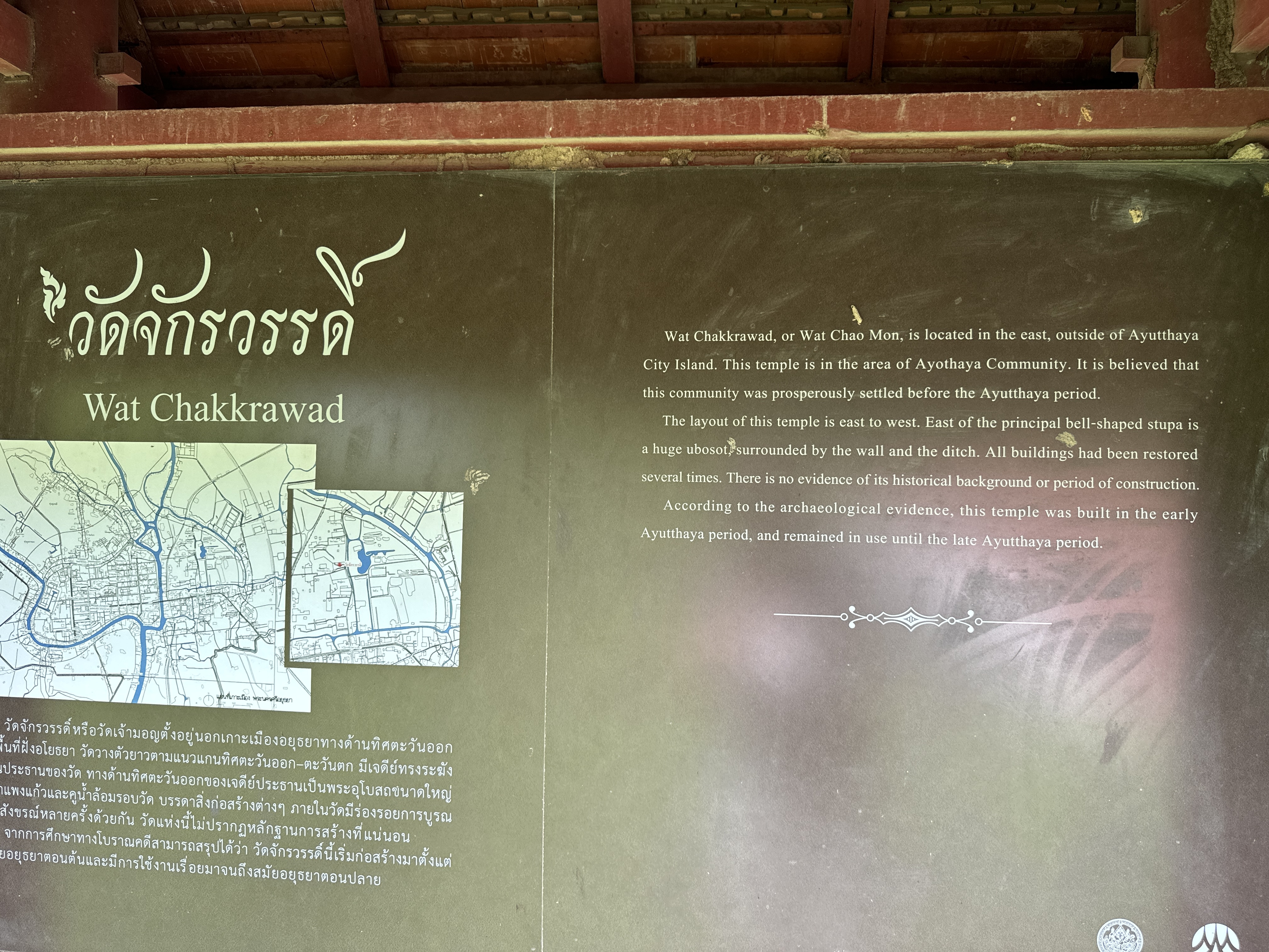
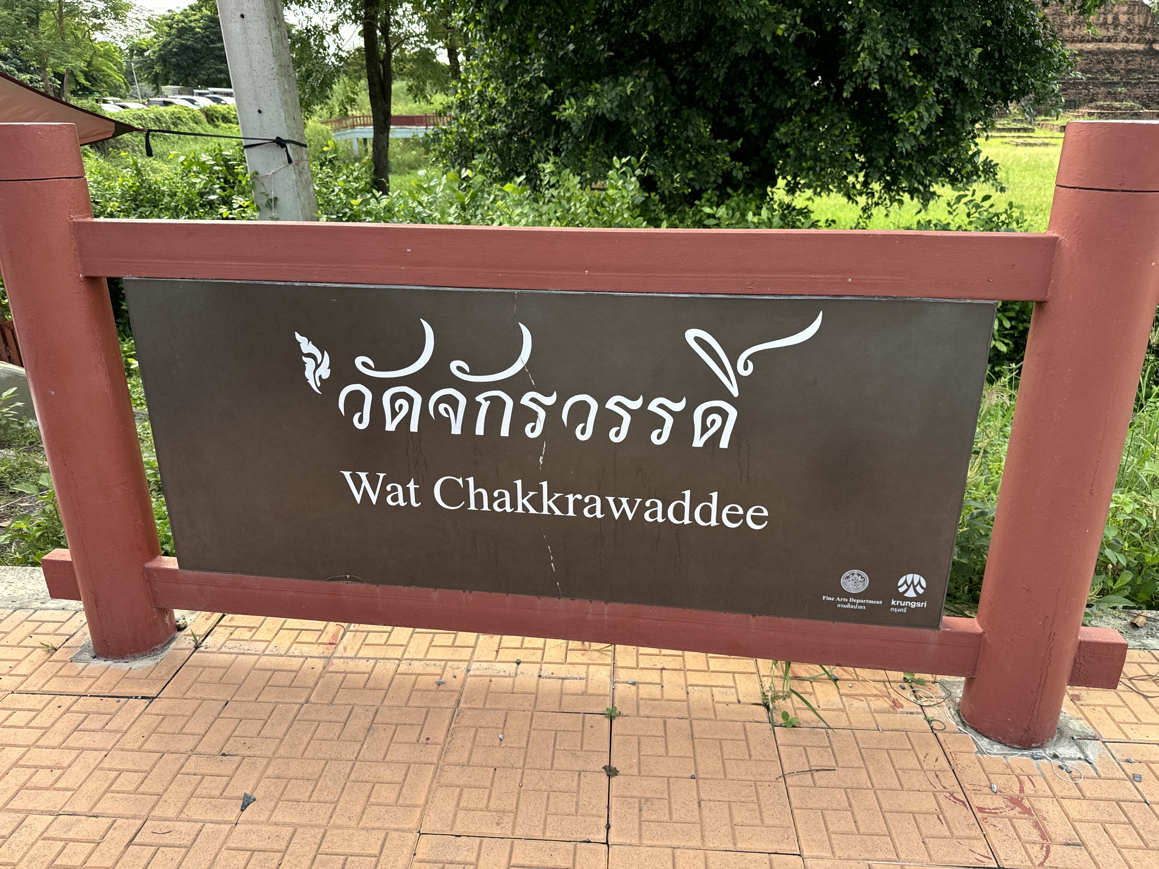
Wat Chakkrawat วัดจักรวรรดิ์
Wat Jakrawan (Chakrawan), also called Wat Chao Mon, is a restored ruin located off the city island in the eastern area of Ayutthaya near the train station.
The temple ruin is situated on the west bank of Khlong Ayodhya. Wat Kudi Dao lies opposite of it, while to the north stands Wat Ayodhya. On its west side is Wat Pradu Songtham.
The monastery derives its name from the "Traiphum", the three-world system. The ancient Theravada tradition saw a flat world with Heaven above and Hell below, which was later modified to a ten thousand world vision.
According to the Traiphum, the universe has been for ever occupied by an infinite number of Chakrawans (groups of worlds) all exactly similar, and each embracing a world of men, with a series of heavens and hells. Each of these worlds (solar systems) depends on a central mountain named
Phra Meru. Around Mount Meru are eight circular belts of ocean, divided from each other by seven annular mountains ...
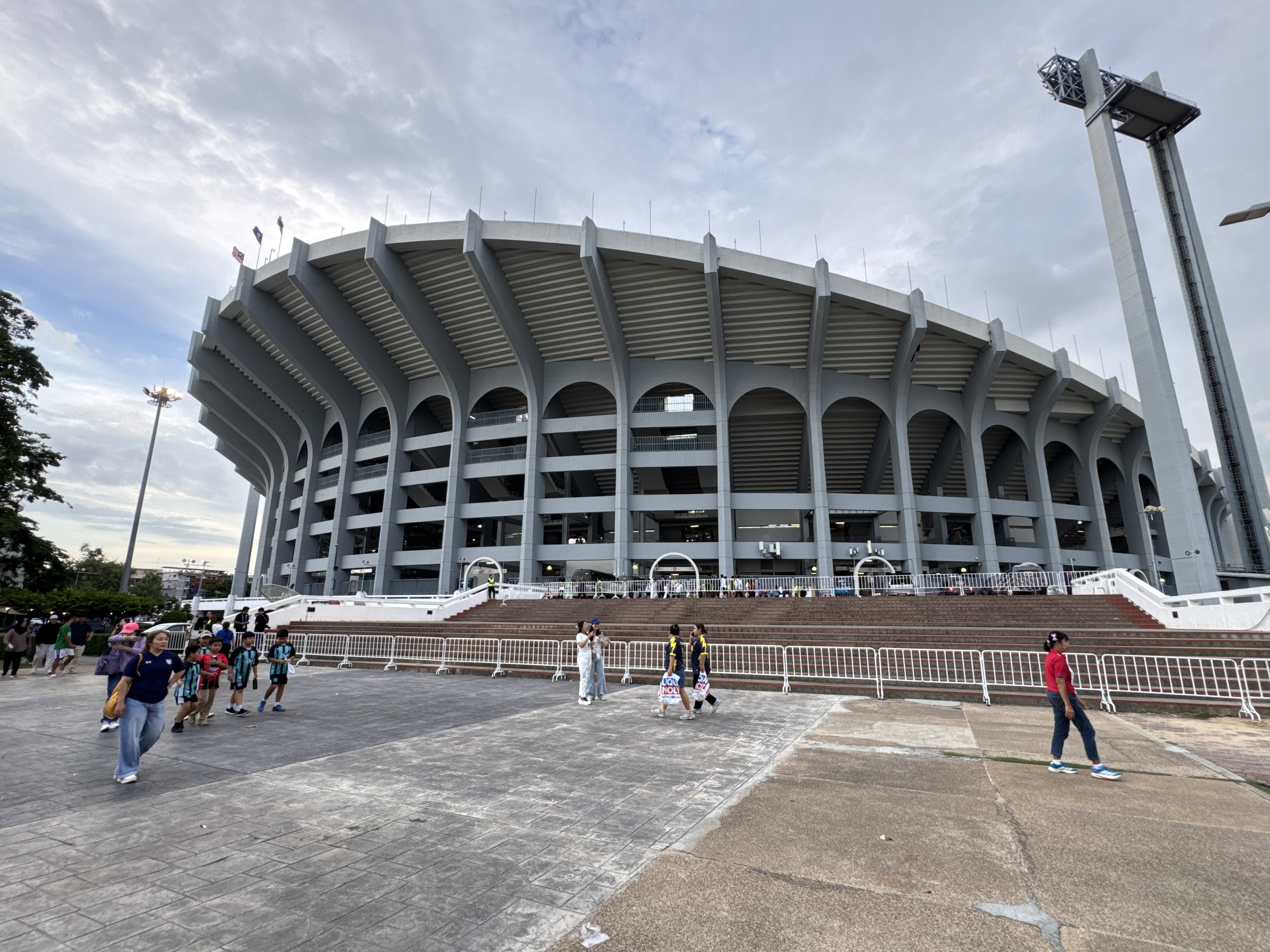
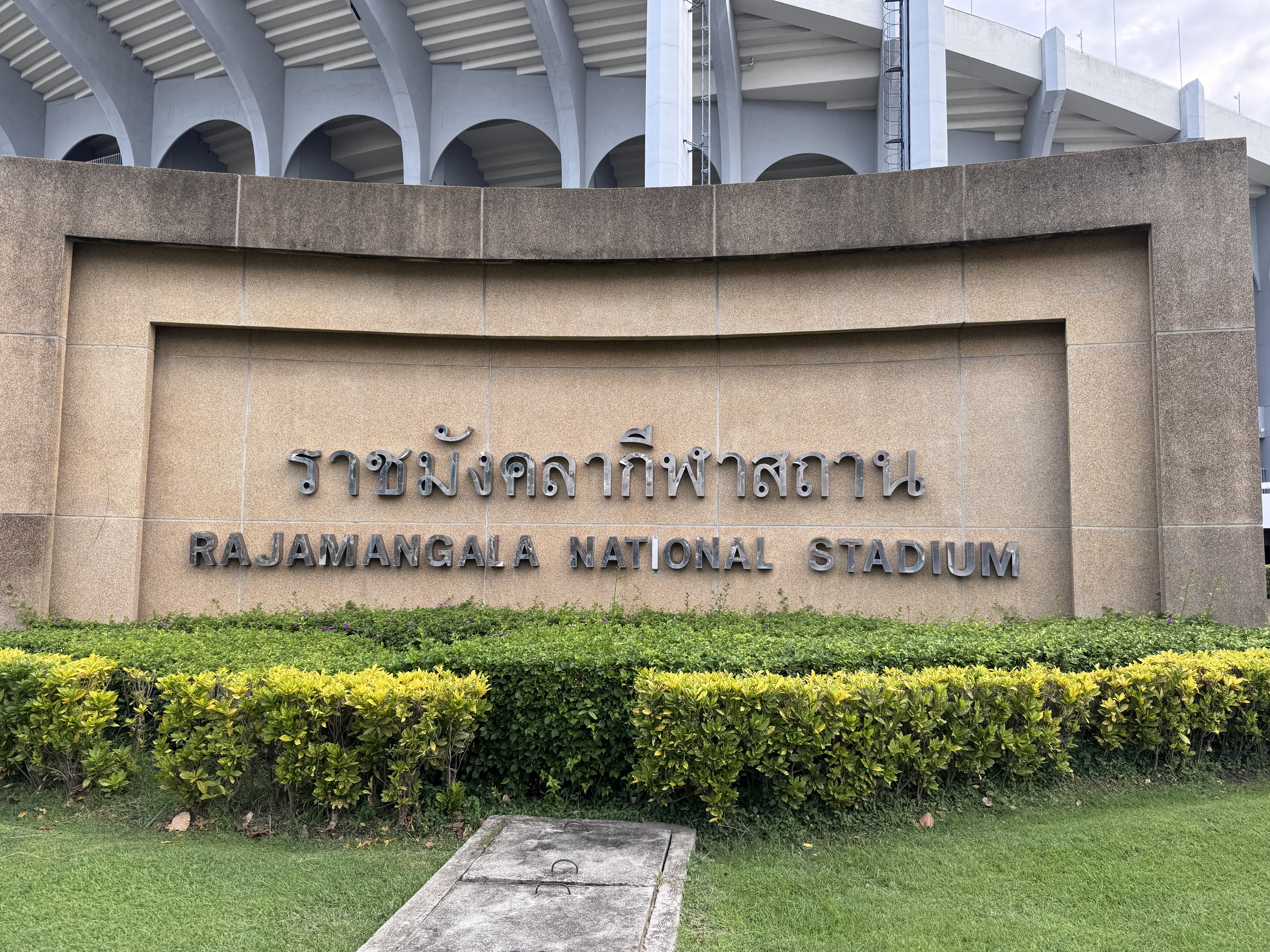
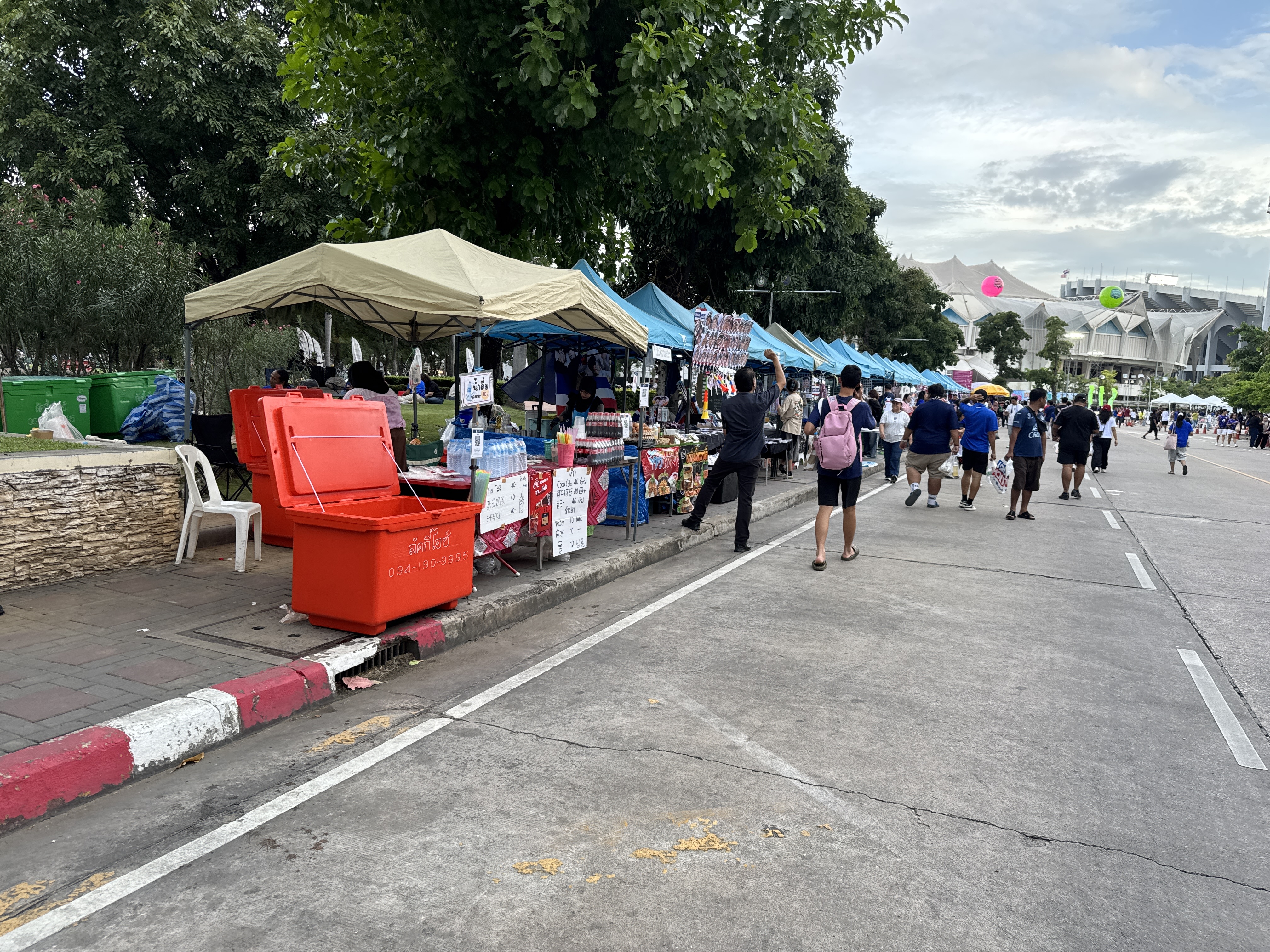
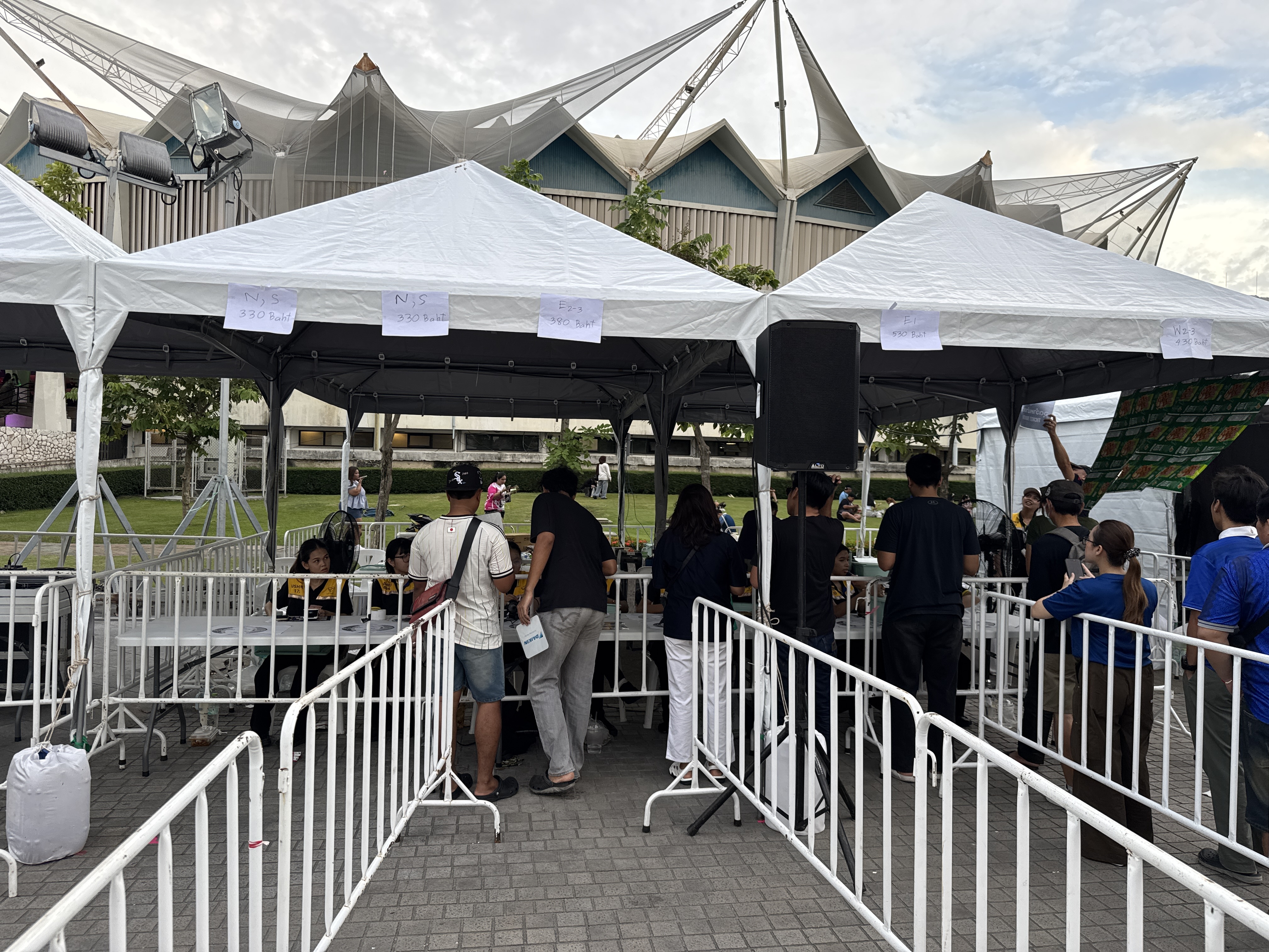
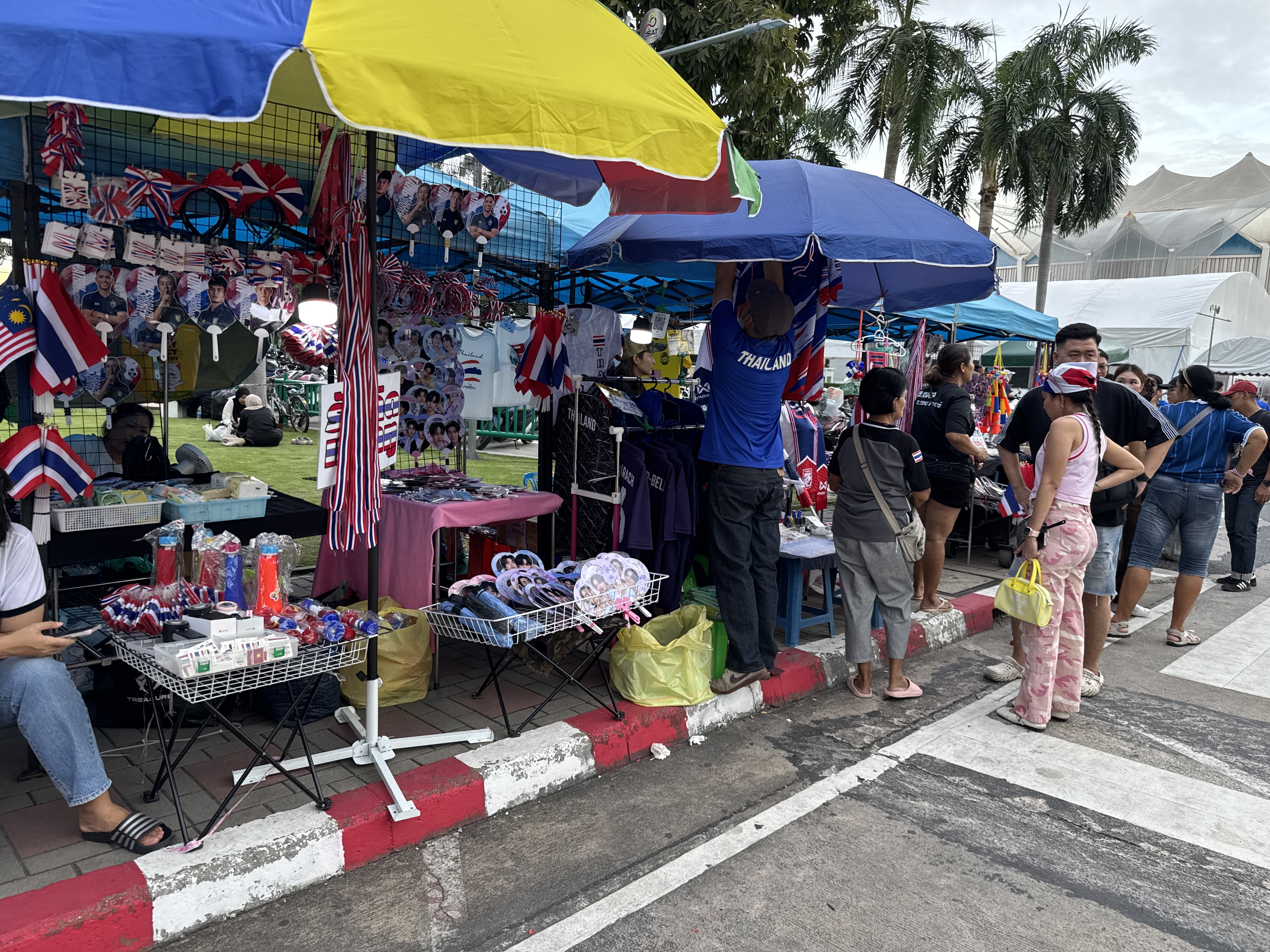
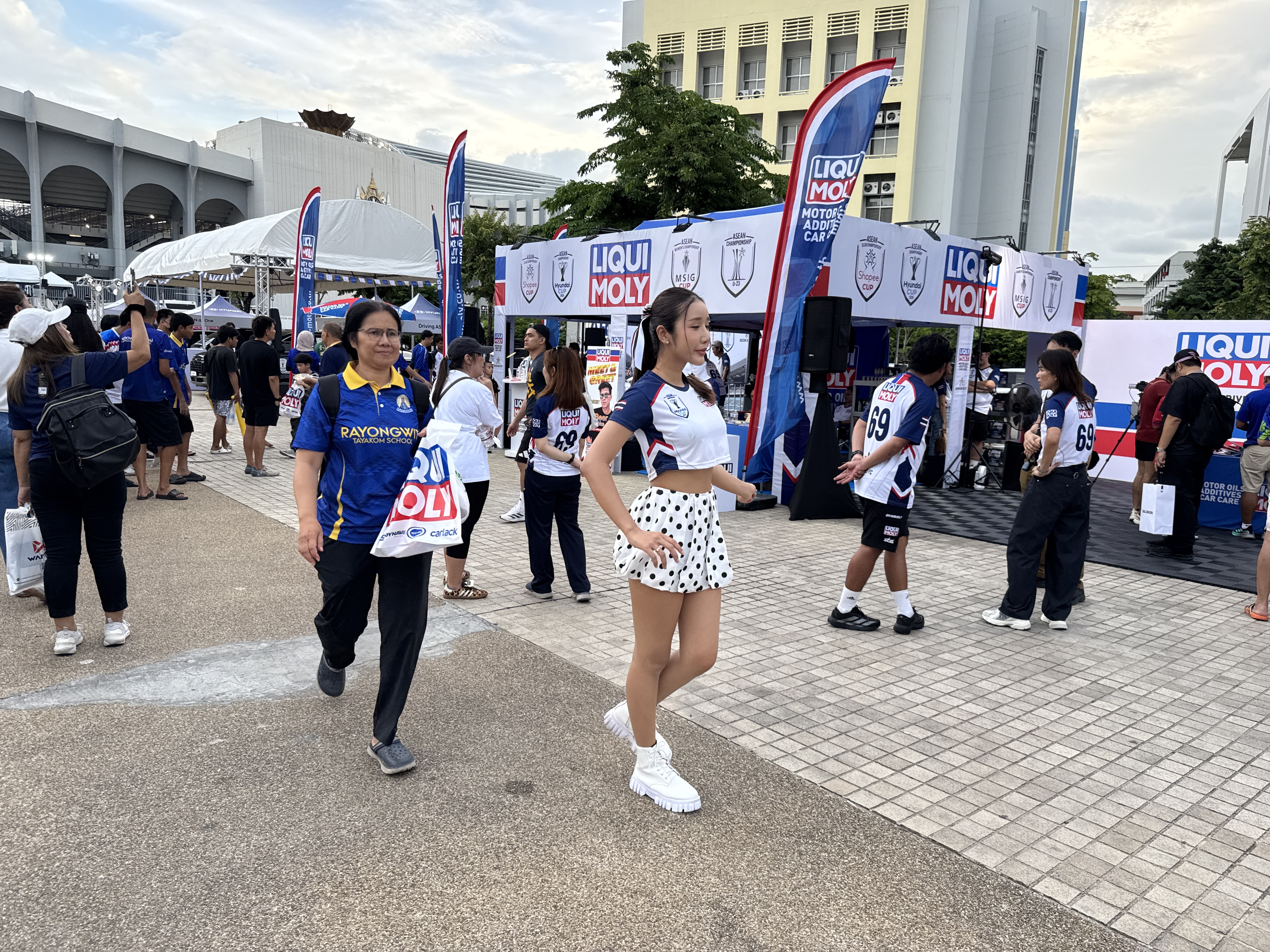
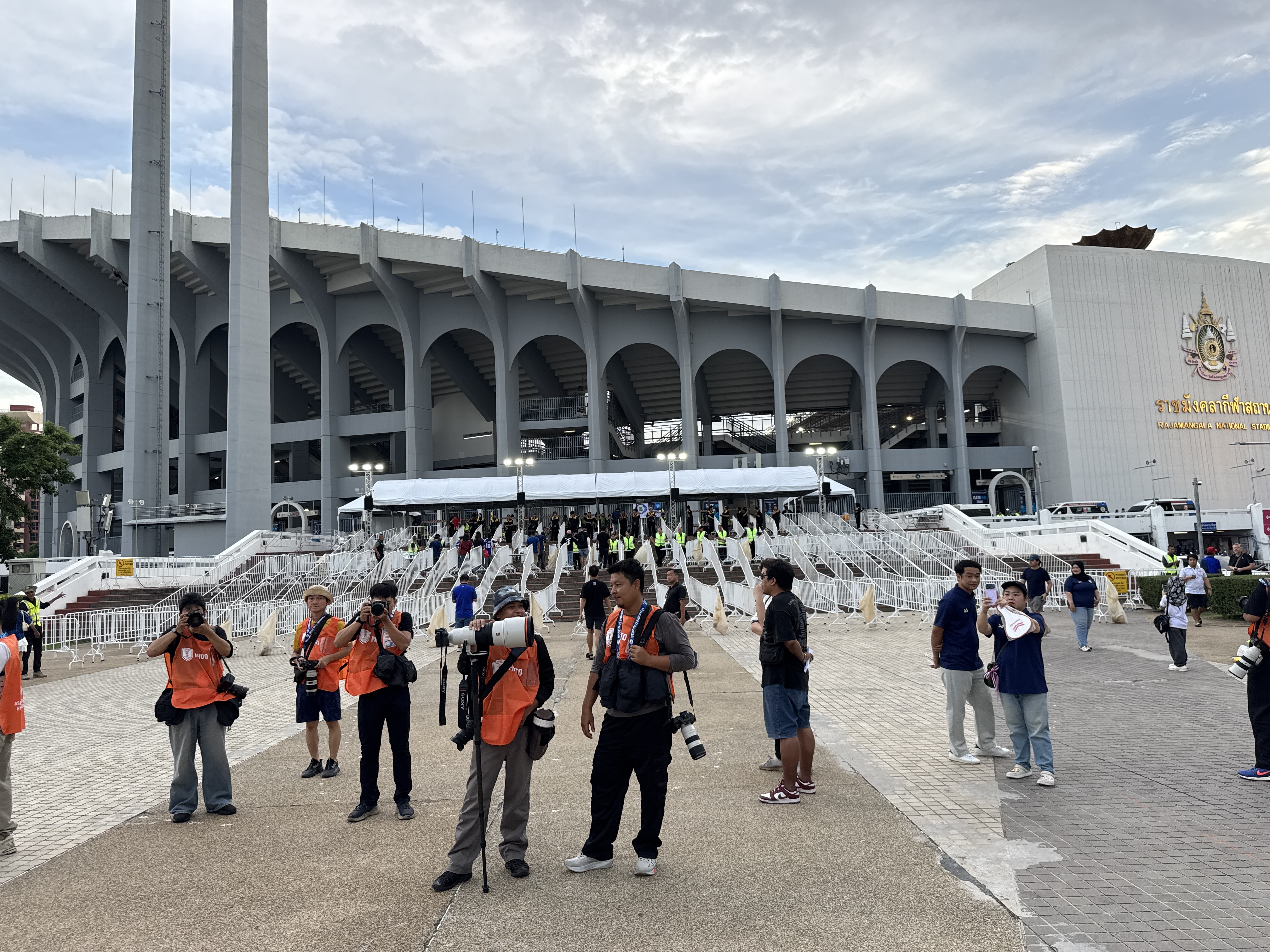
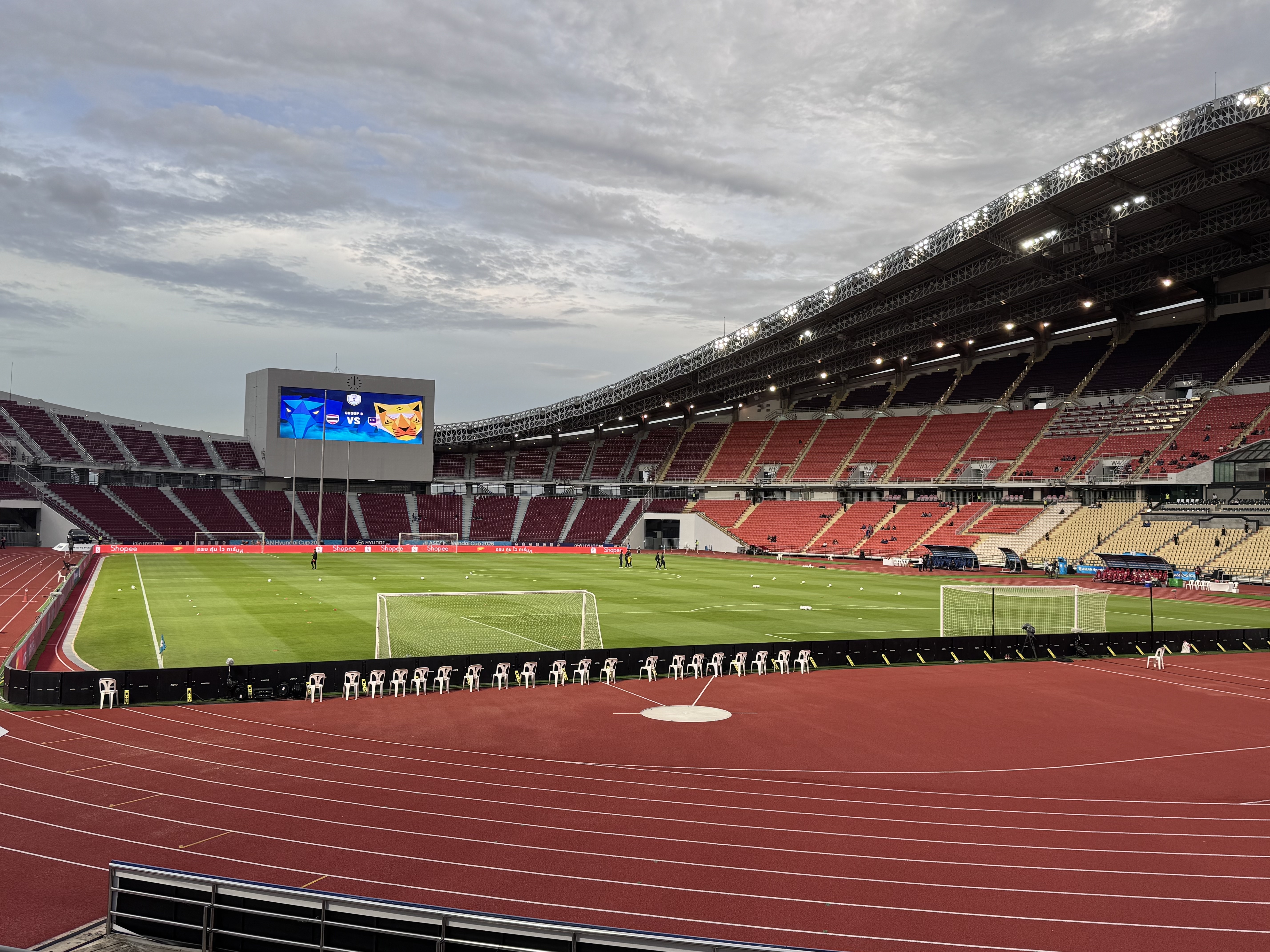
The ASEAN Hyundai Cup 2026, also known as the 2026 ASEAN Championship, features Thailand and Malaysia in a key Group B encounter on Saturday, August 1, at Rajamangala National Stadium in Bangkok, kicking off at 20:00 local time.
This matchup pits the seven-time champions Thailand, coached by Anthony Hudson, against a resurgent Malaysia side under interim coach Tan Cheng Hoe, who returns to the venue where his team earned a memorable 2-2 draw in the 2018 semi-finals that helped propel them to the final on away goals.
Entering the fixture, Malaysia sit atop Group B with a perfect record of two wins from two matches, having scored six goals and conceded just one for a +5 goal difference and six points. They opened with a 2-1 comeback victory over Myanmar, powered by a brace from captain Paulo Josué, before thrashing Laos 4-0, with Josué adding another goal alongside contributions from Endrick, an own goal, and Wan Kuzain.
Thailand, meanwhile, have played one fewer match and sit second with three points ...

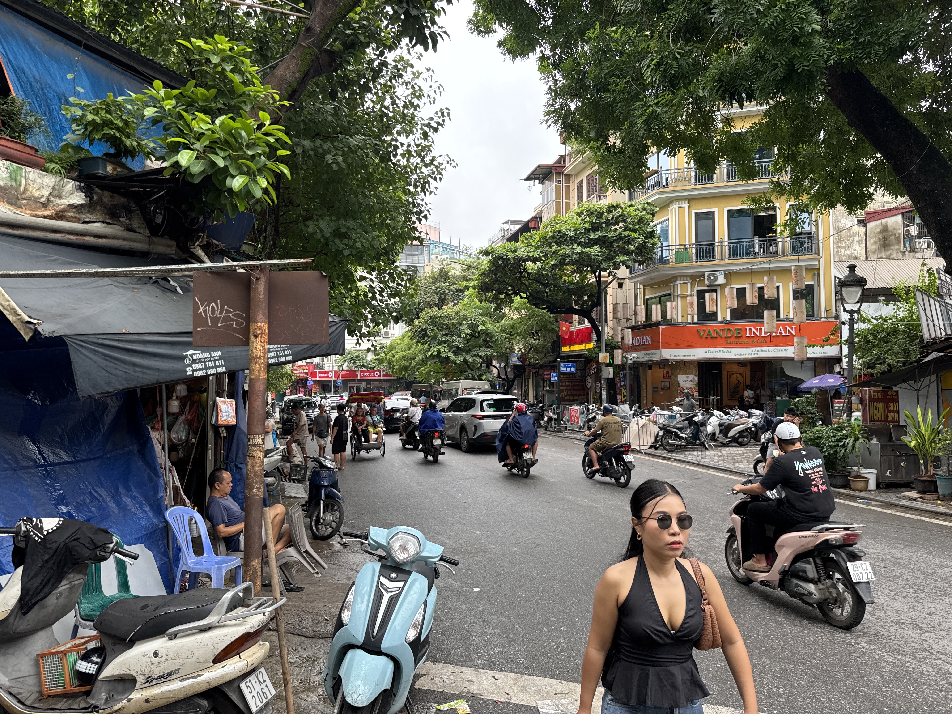
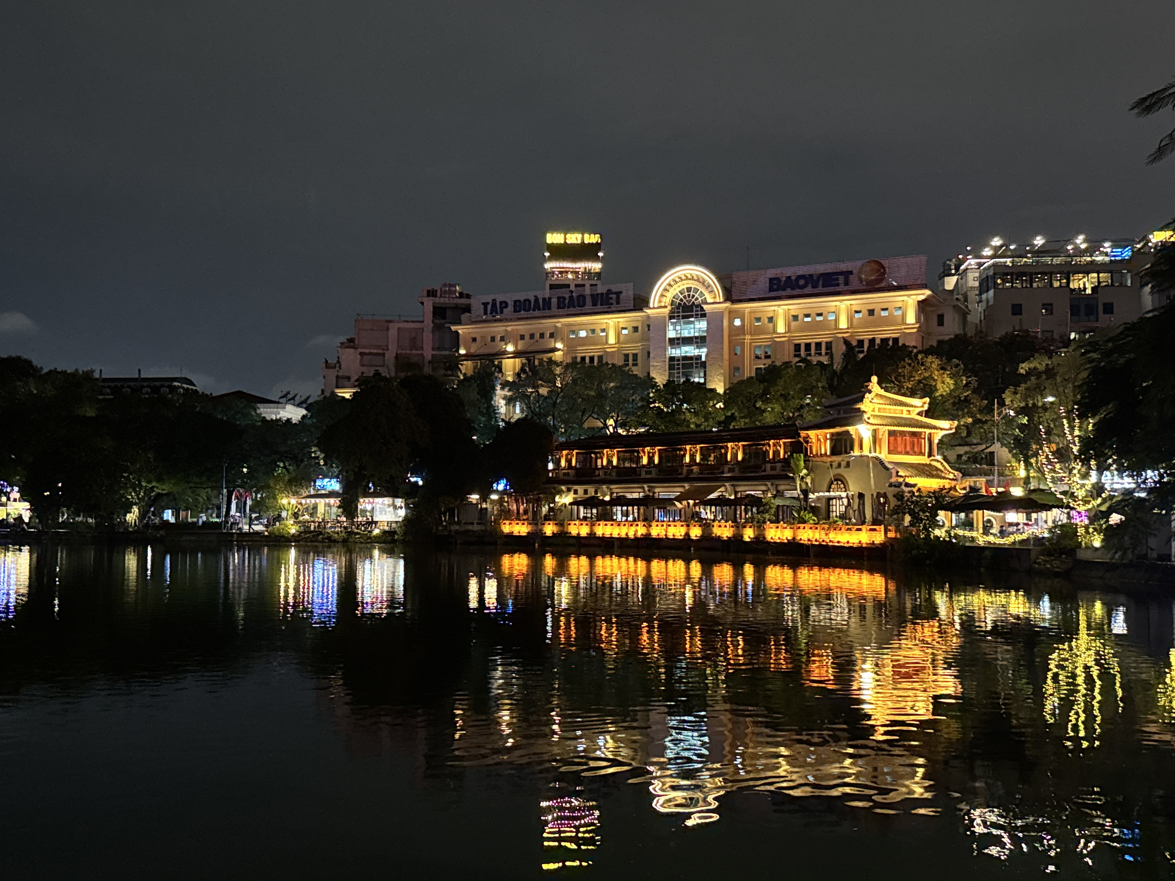
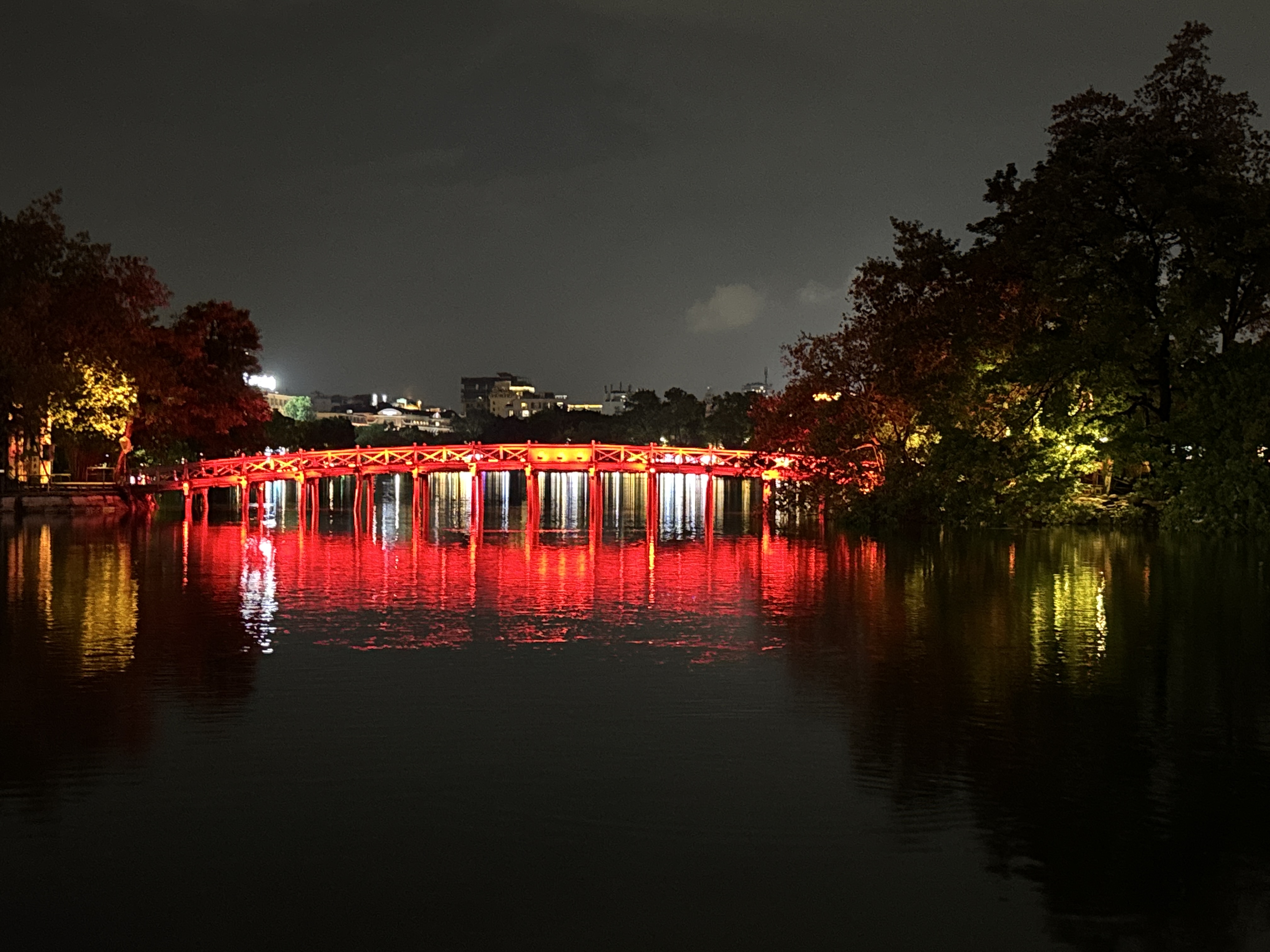
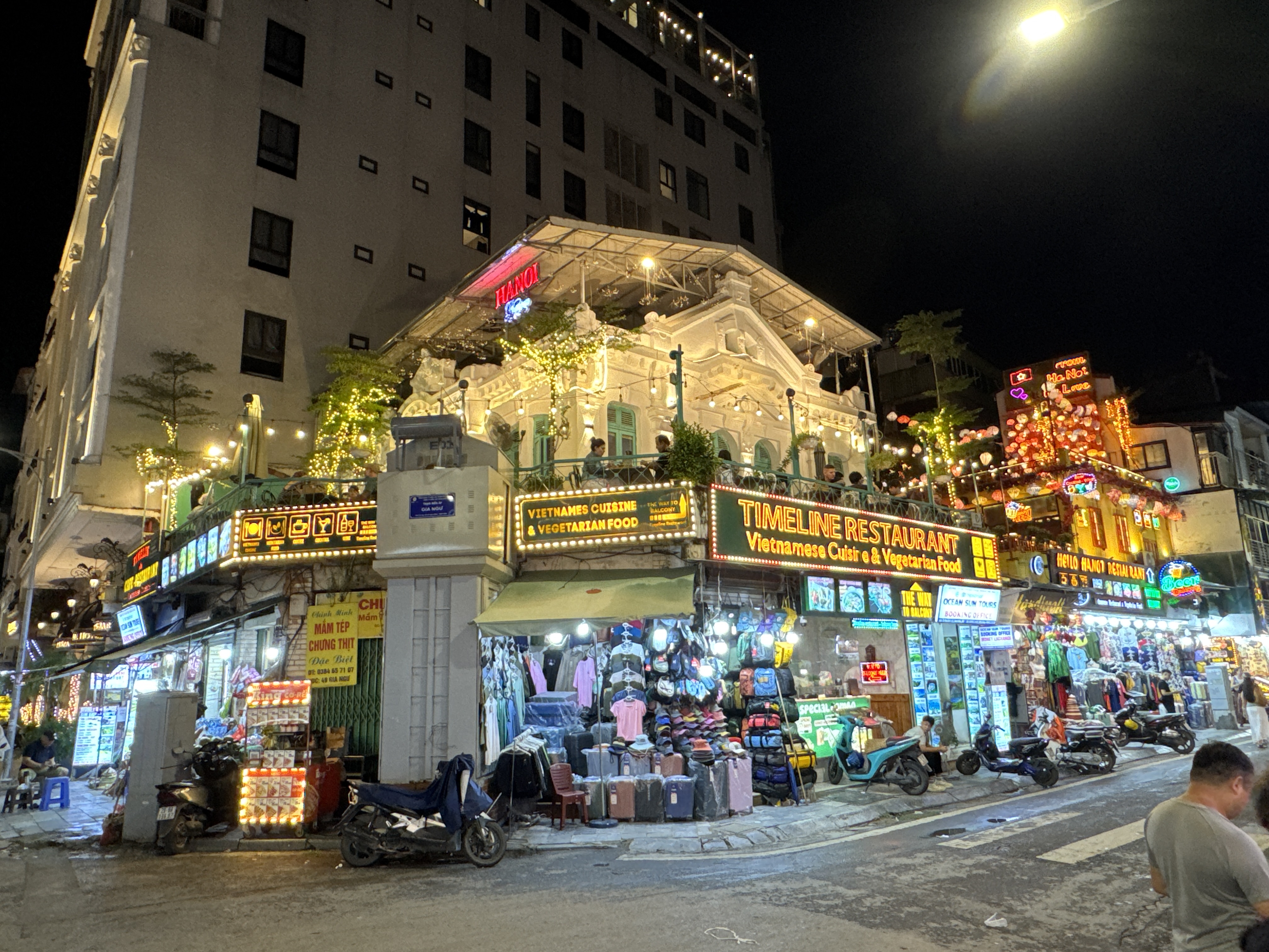
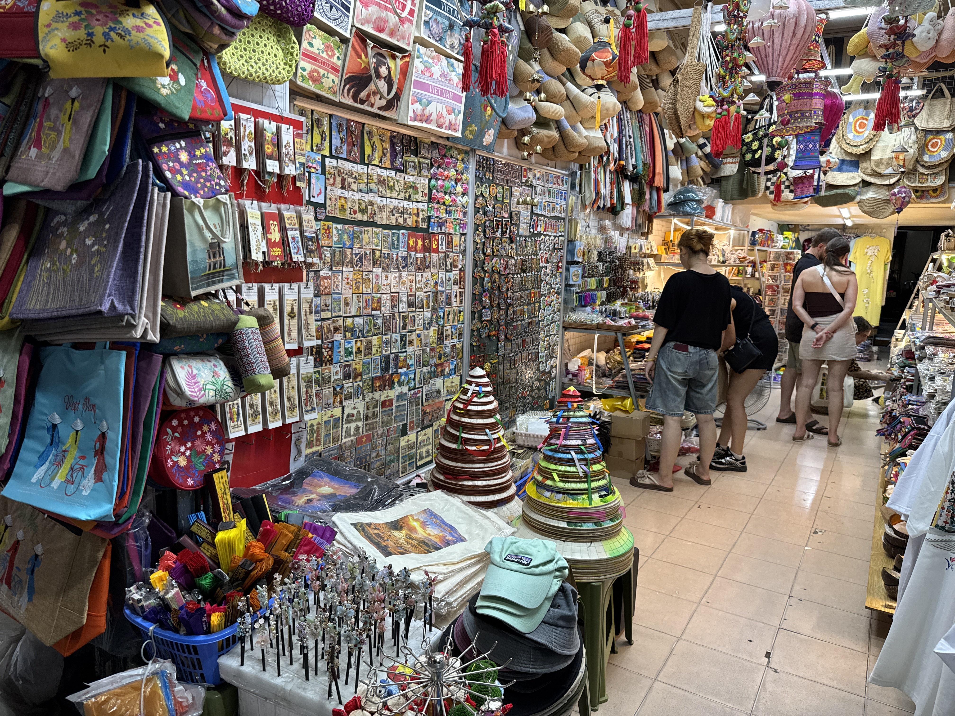
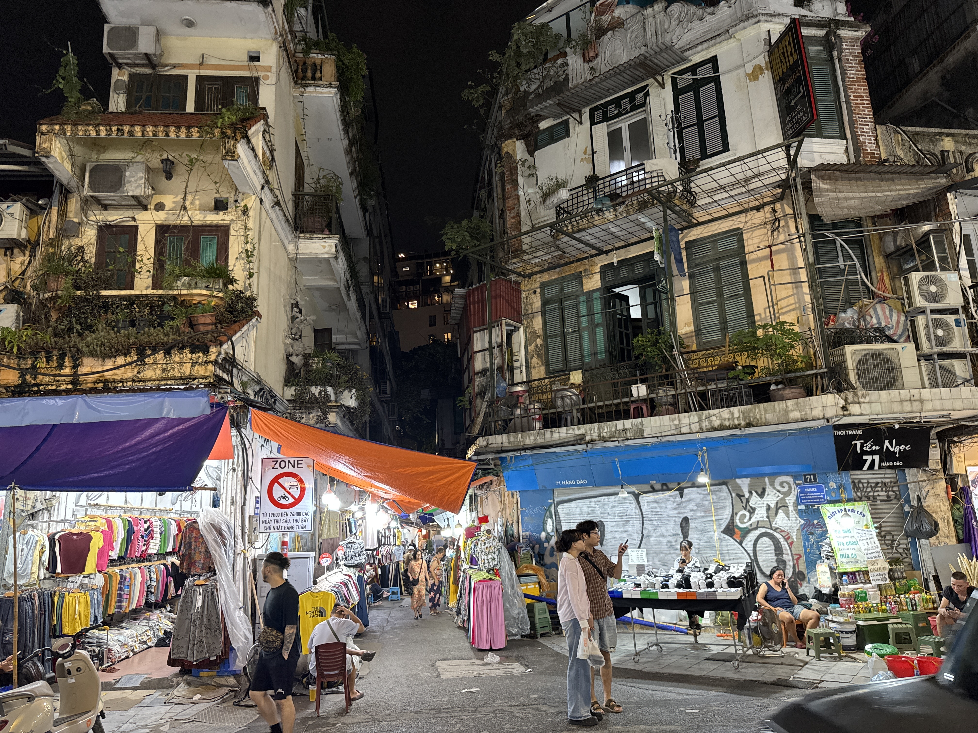
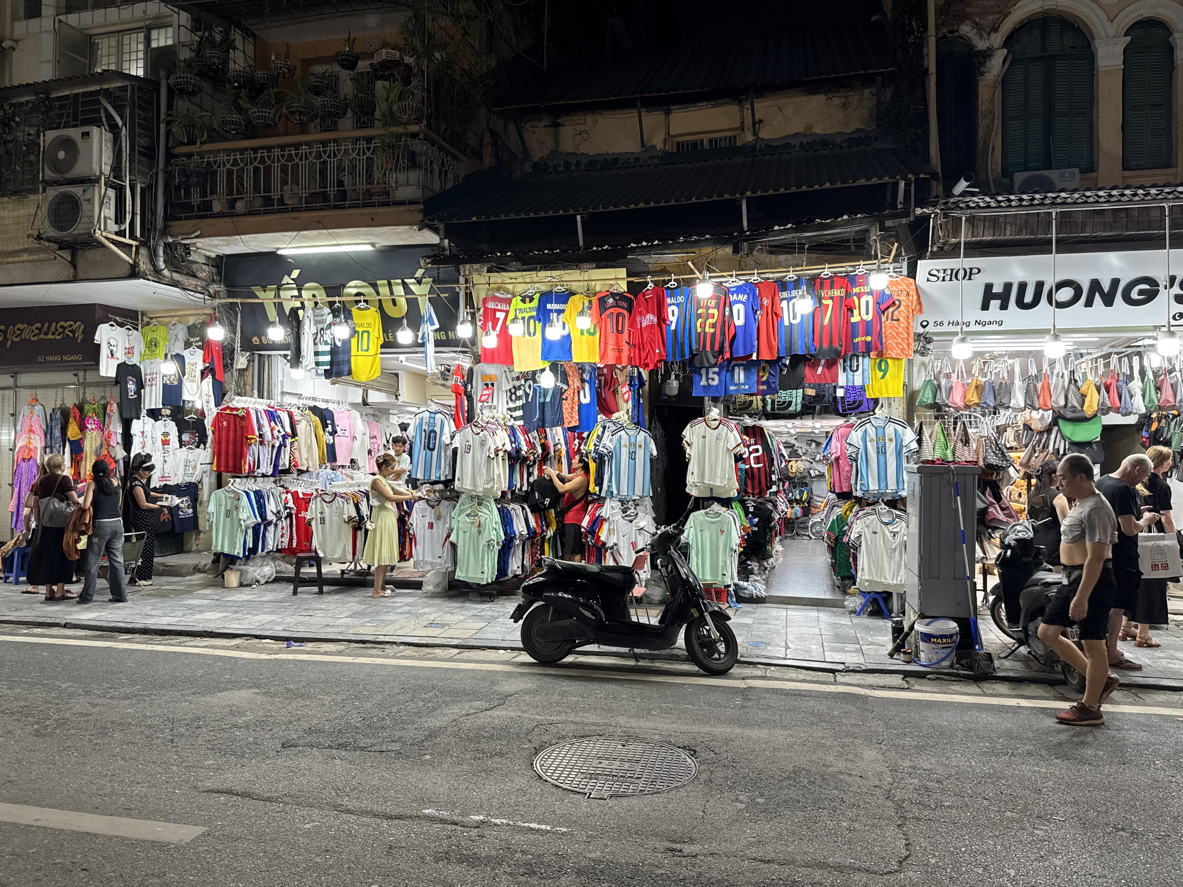
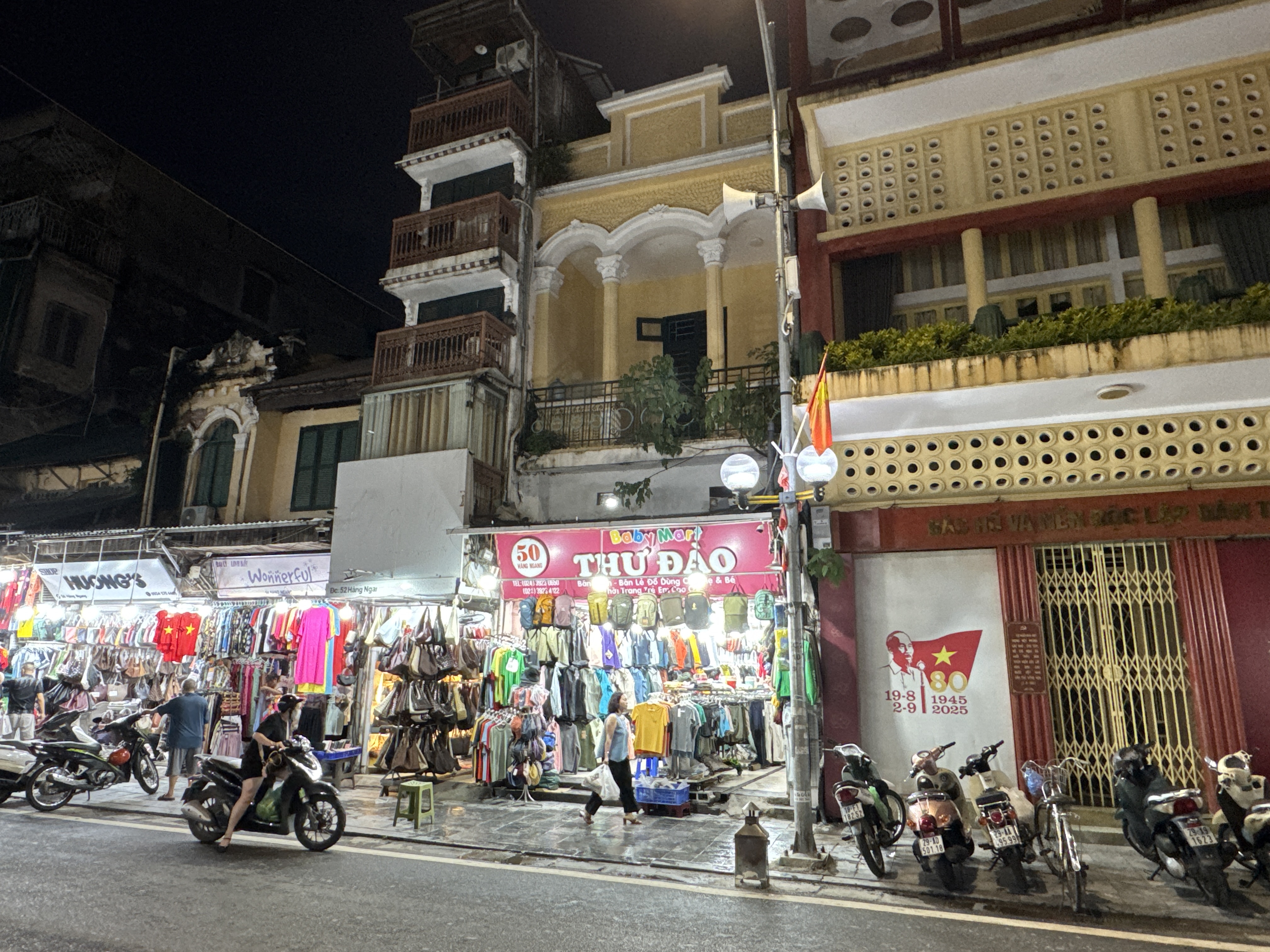
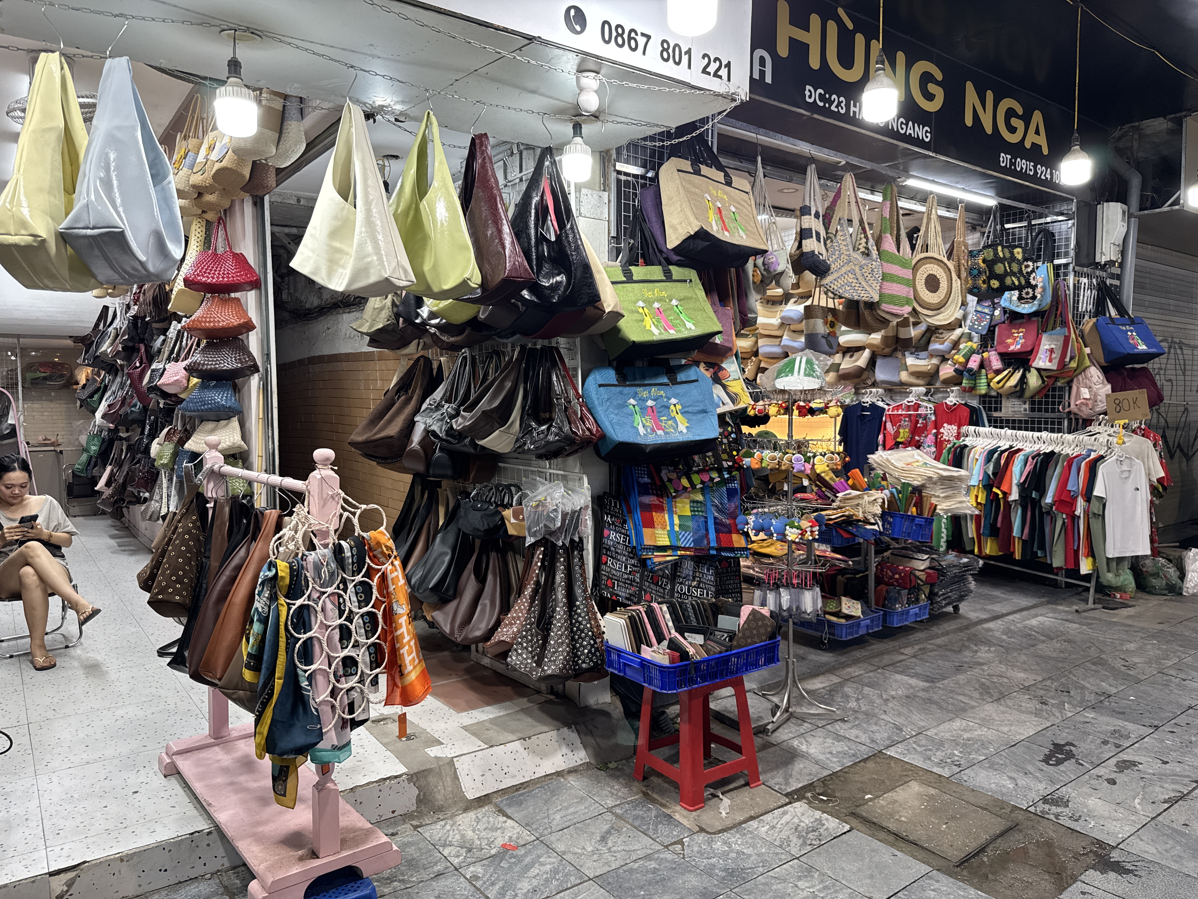
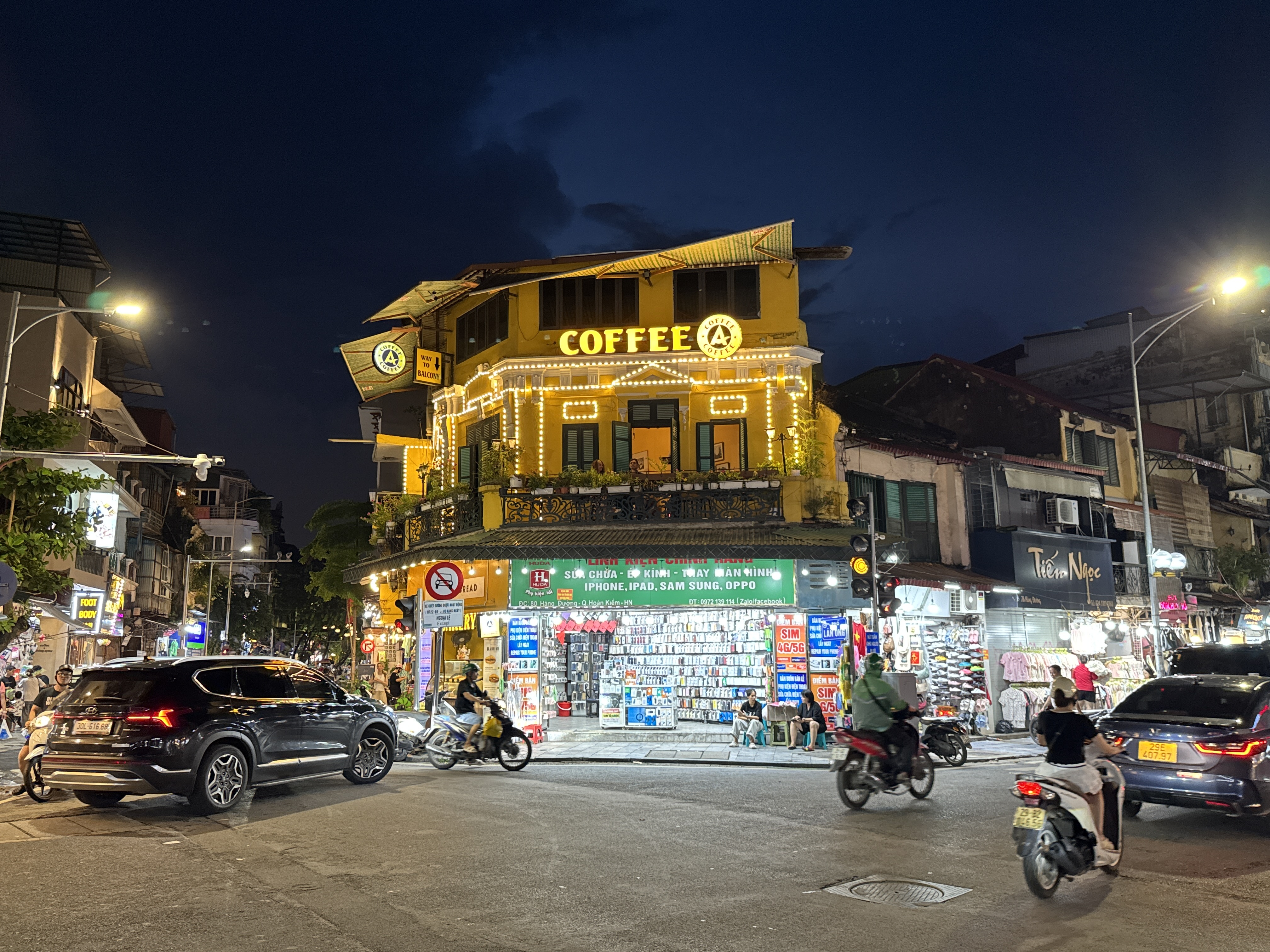
The shopping district of Hanoi’s Old Quarter is a dense network of narrow historic streets centered around Hoan Kiem District, where trade has taken place for centuries. Many of these streets remain active into the evening, with shops, small stalls, and food vendors creating a lively nighttime atmosphere even outside of any temporary market setups. Visitors often stroll the area after dark to browse clothing, silk goods, jewelry, handicrafts, and everyday items while the streets fill with locals and travelers.
Hang Gai, long known as Silk Street, continues to draw people in the evening for its selection of fabrics, scarves, ready-made garments, and custom tailoring shops that stay open later. Nearby Hang Bac, or Silver Street, offers jewelry and silverwork in a more traditional setting.
Other lanes such as those around Hang Ma specialize in decorative and festival items, while clothing, bags, and accessory shops line several connecting streets.
Dong Xuan Market itself, the large covered ...
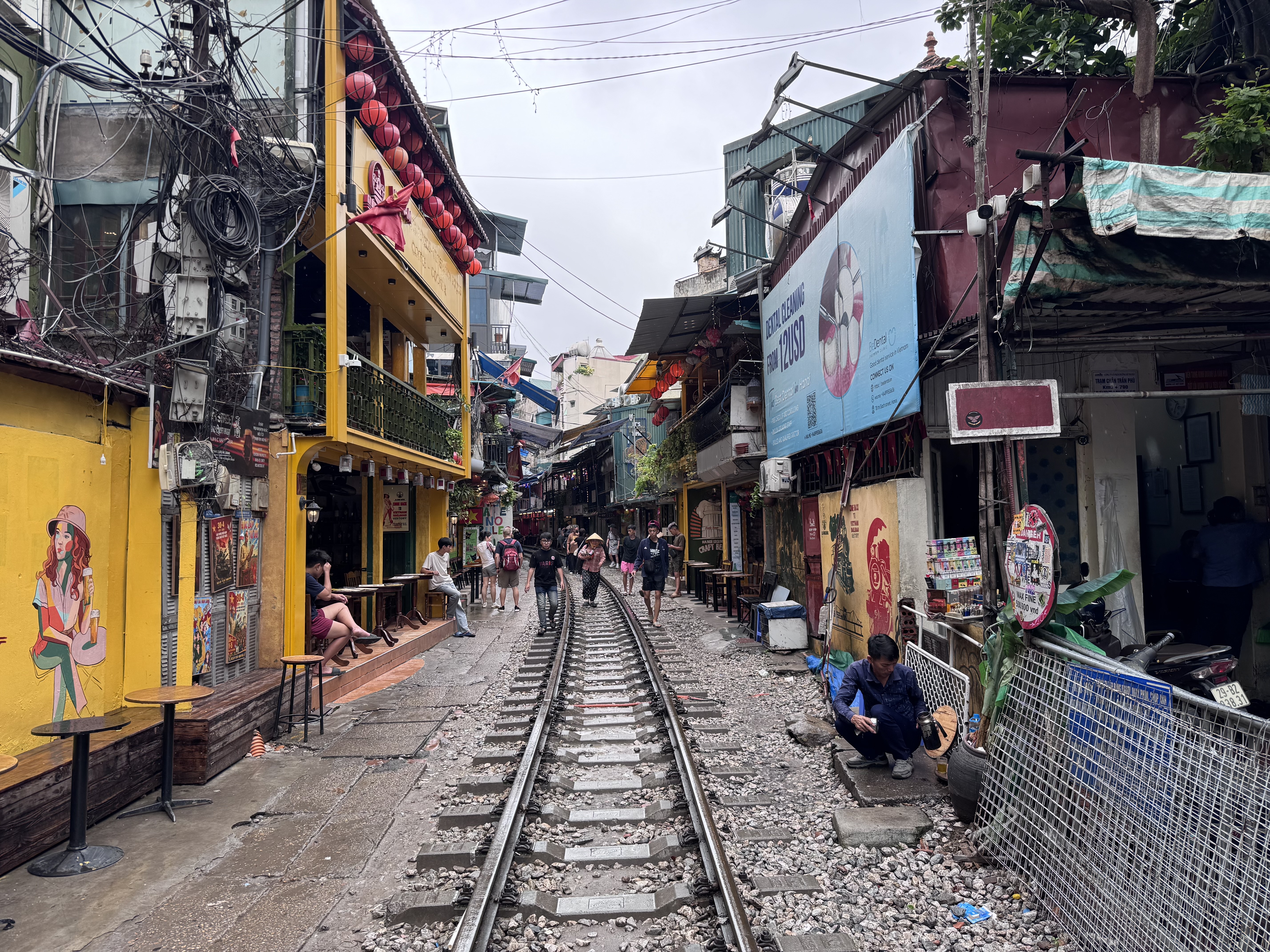
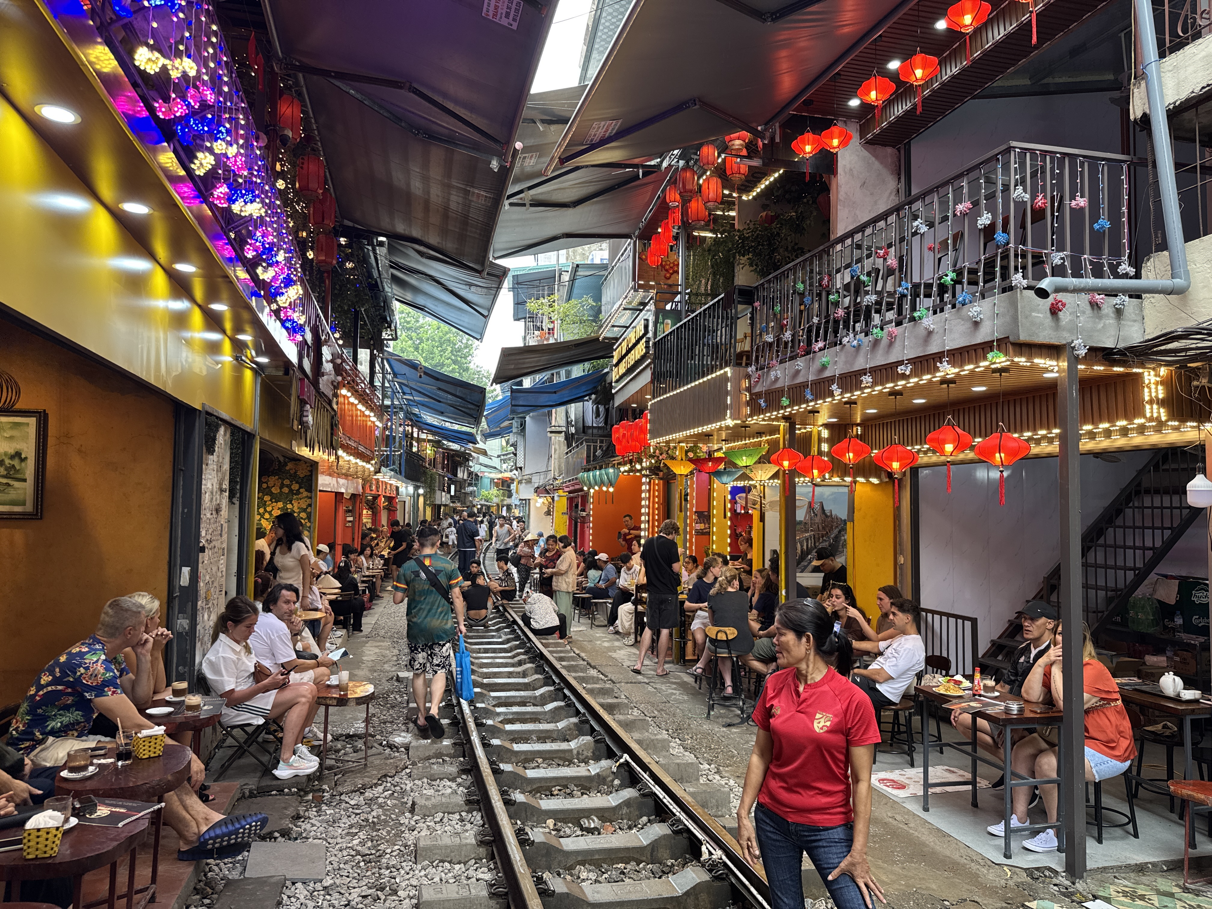
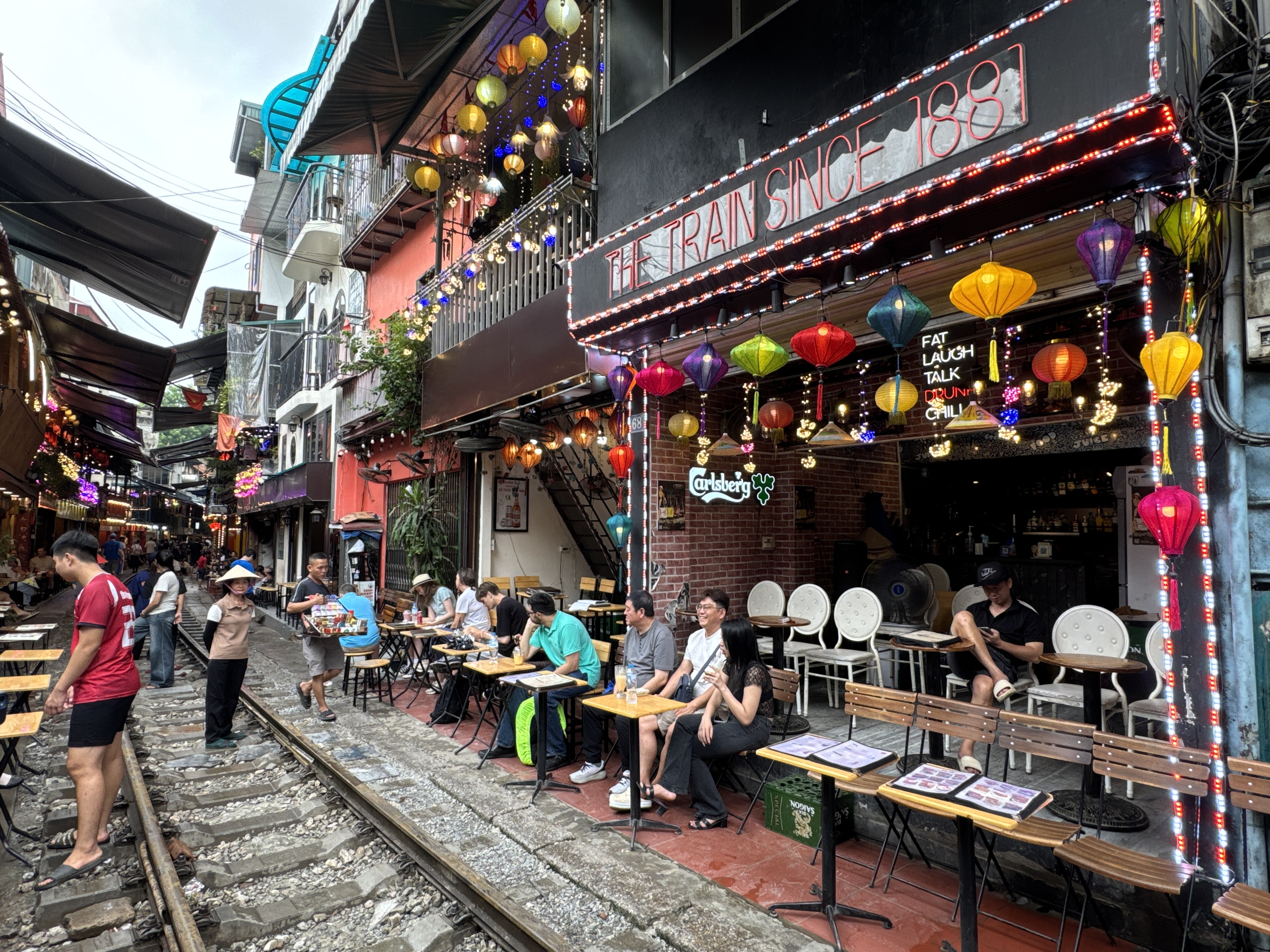
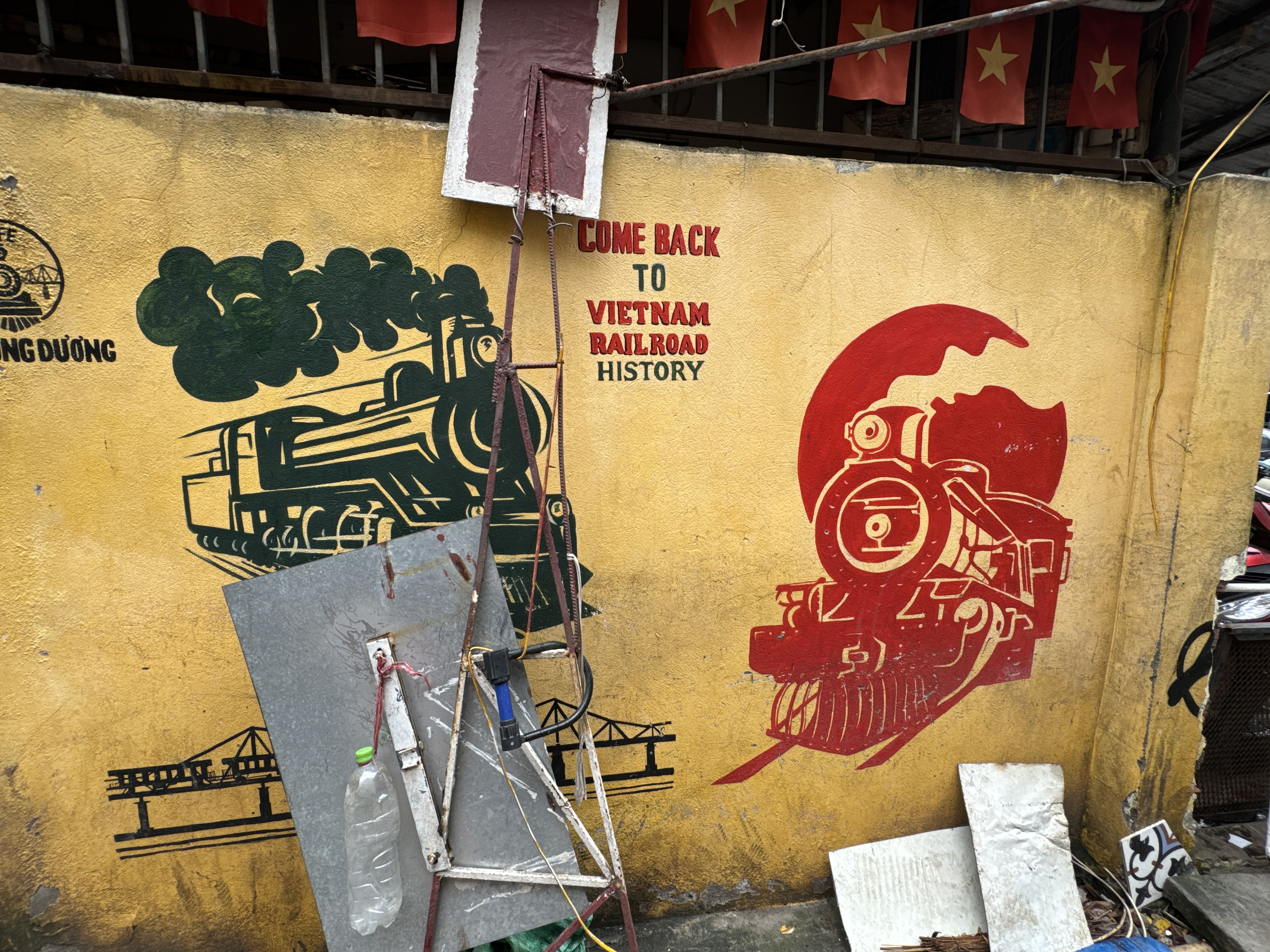
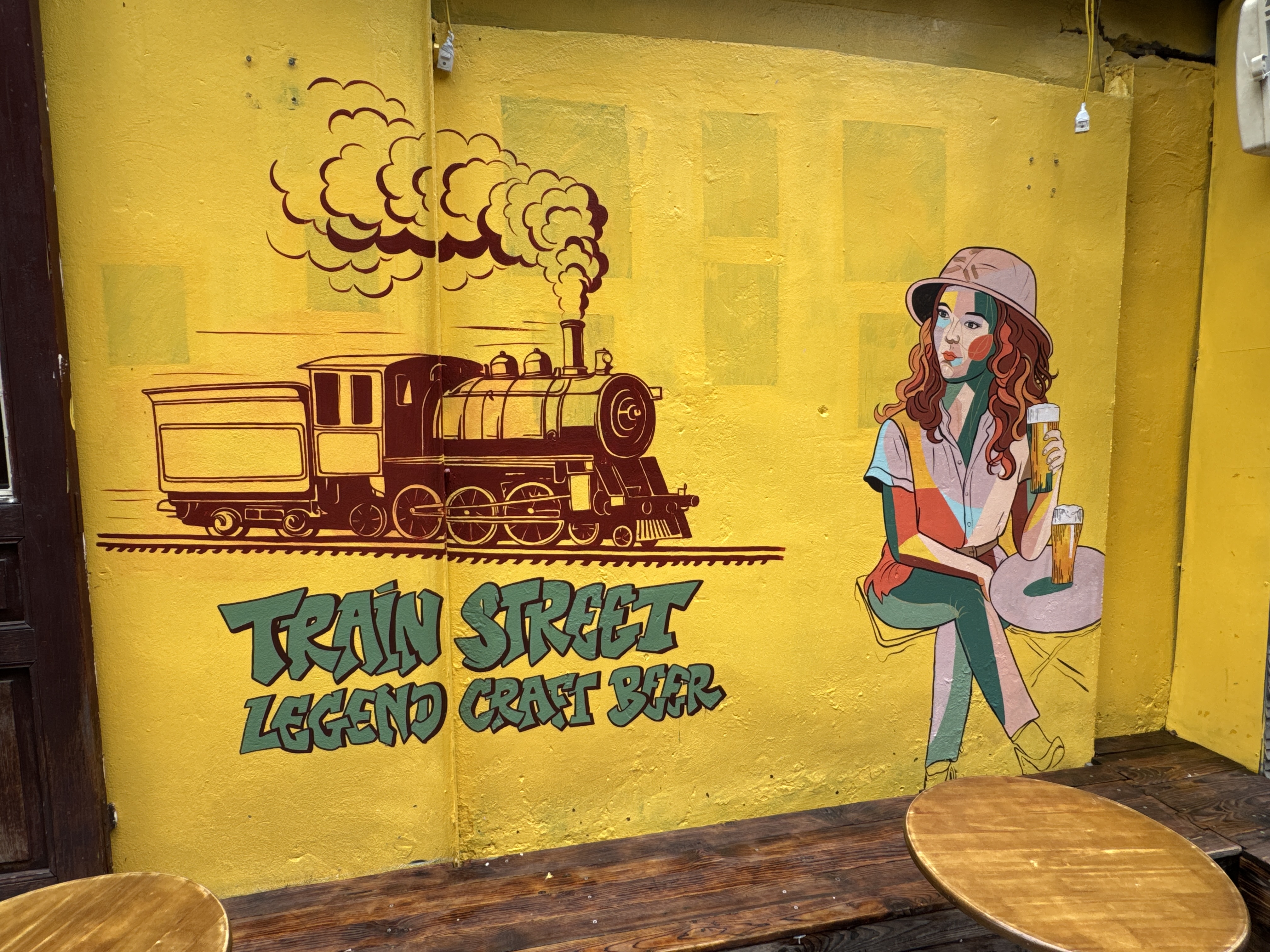
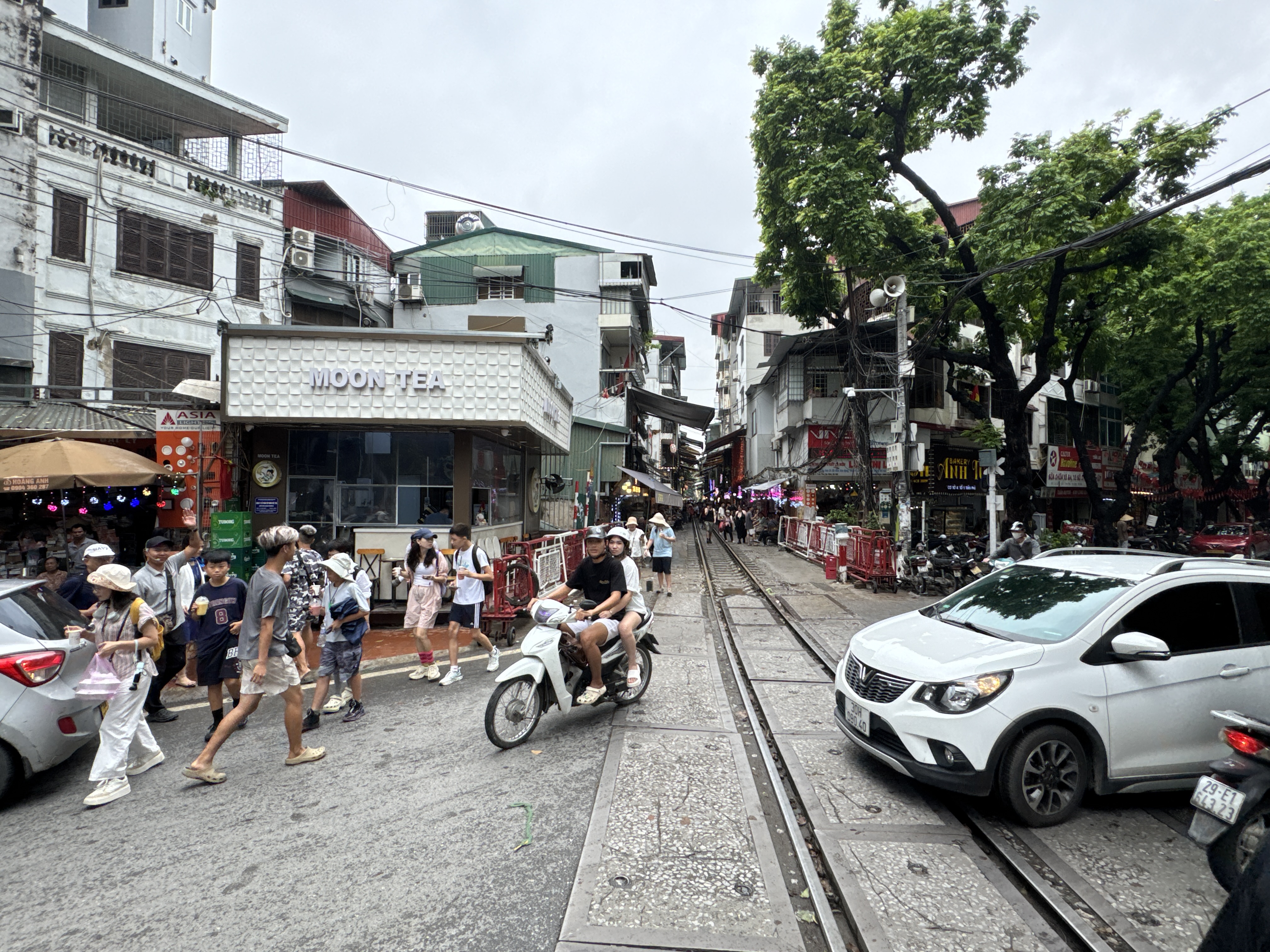
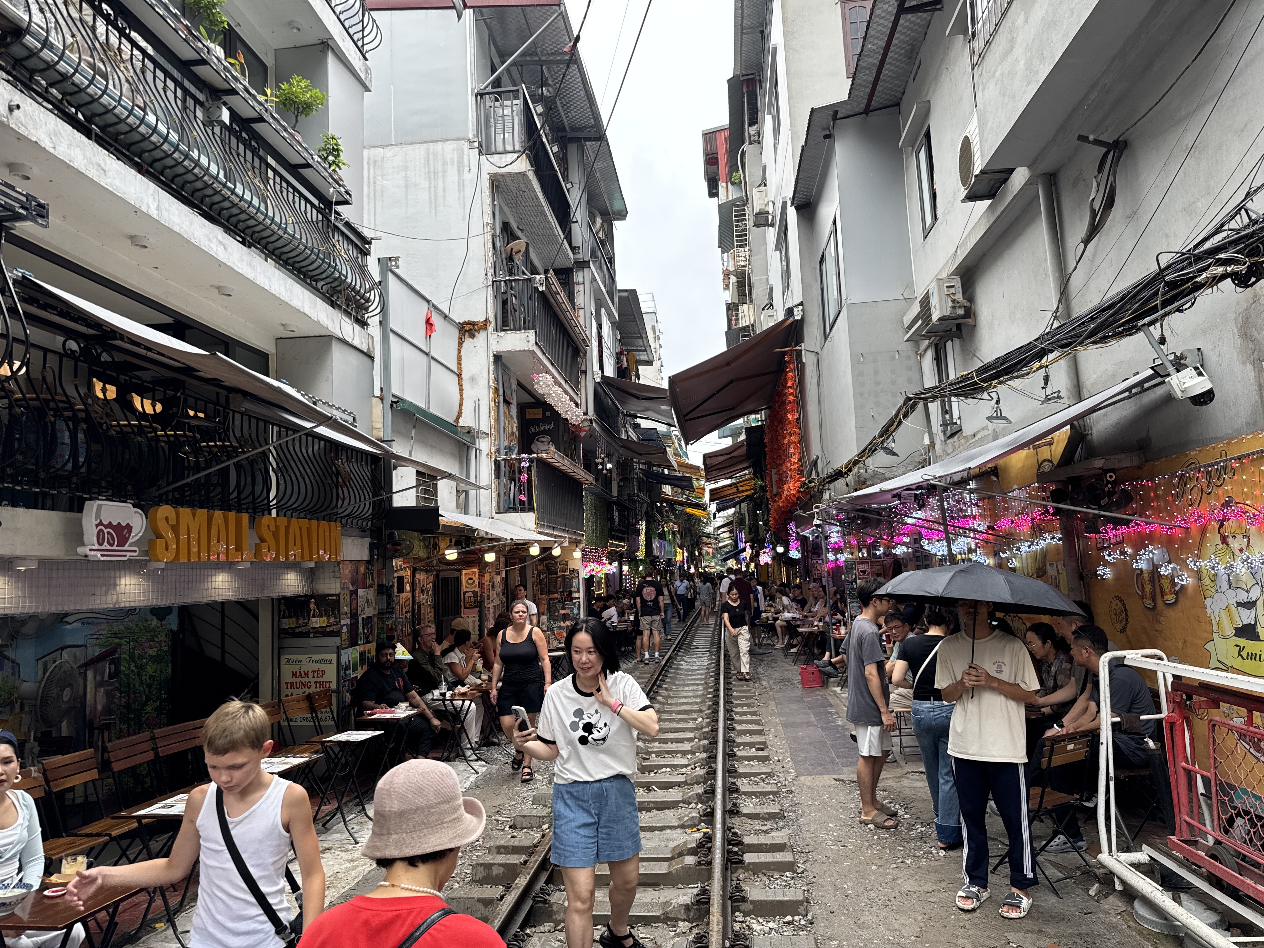
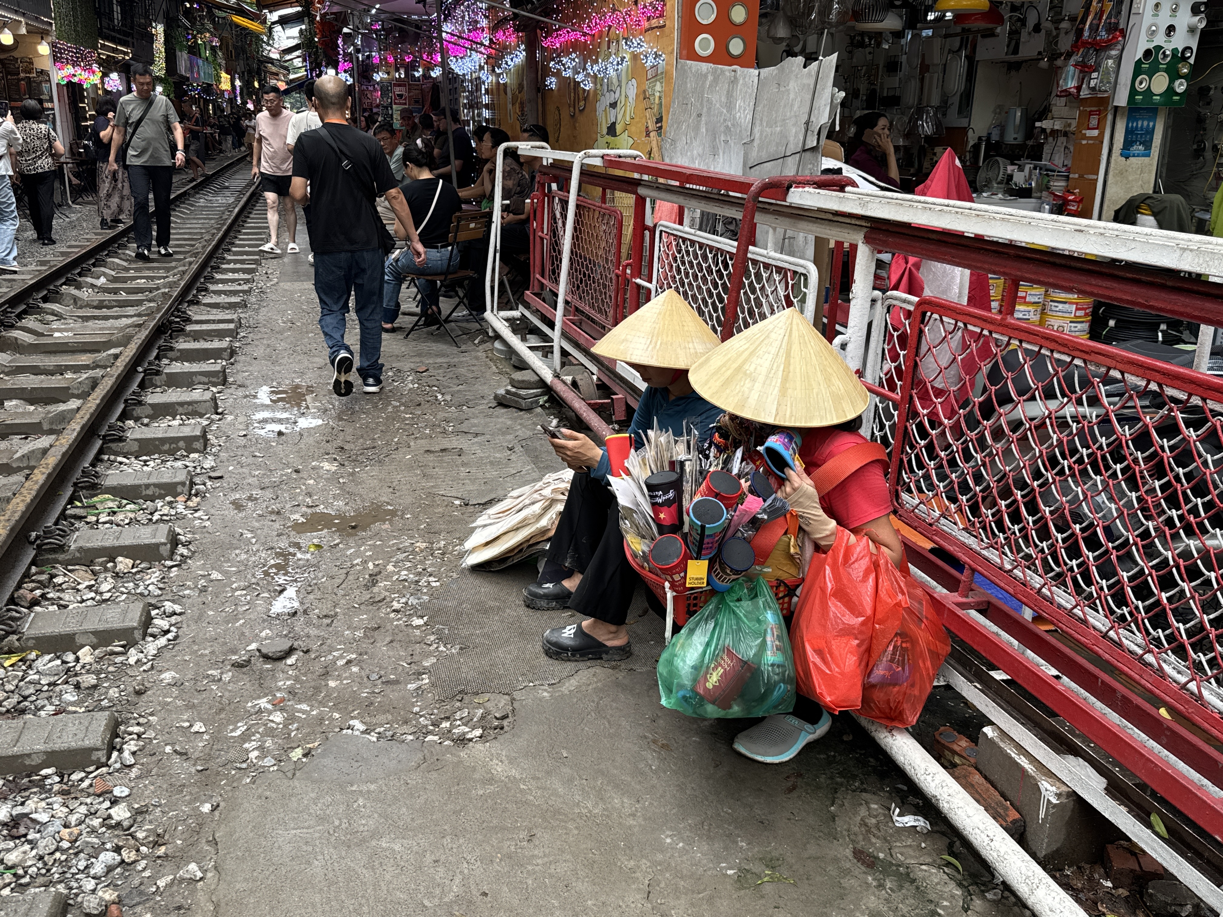
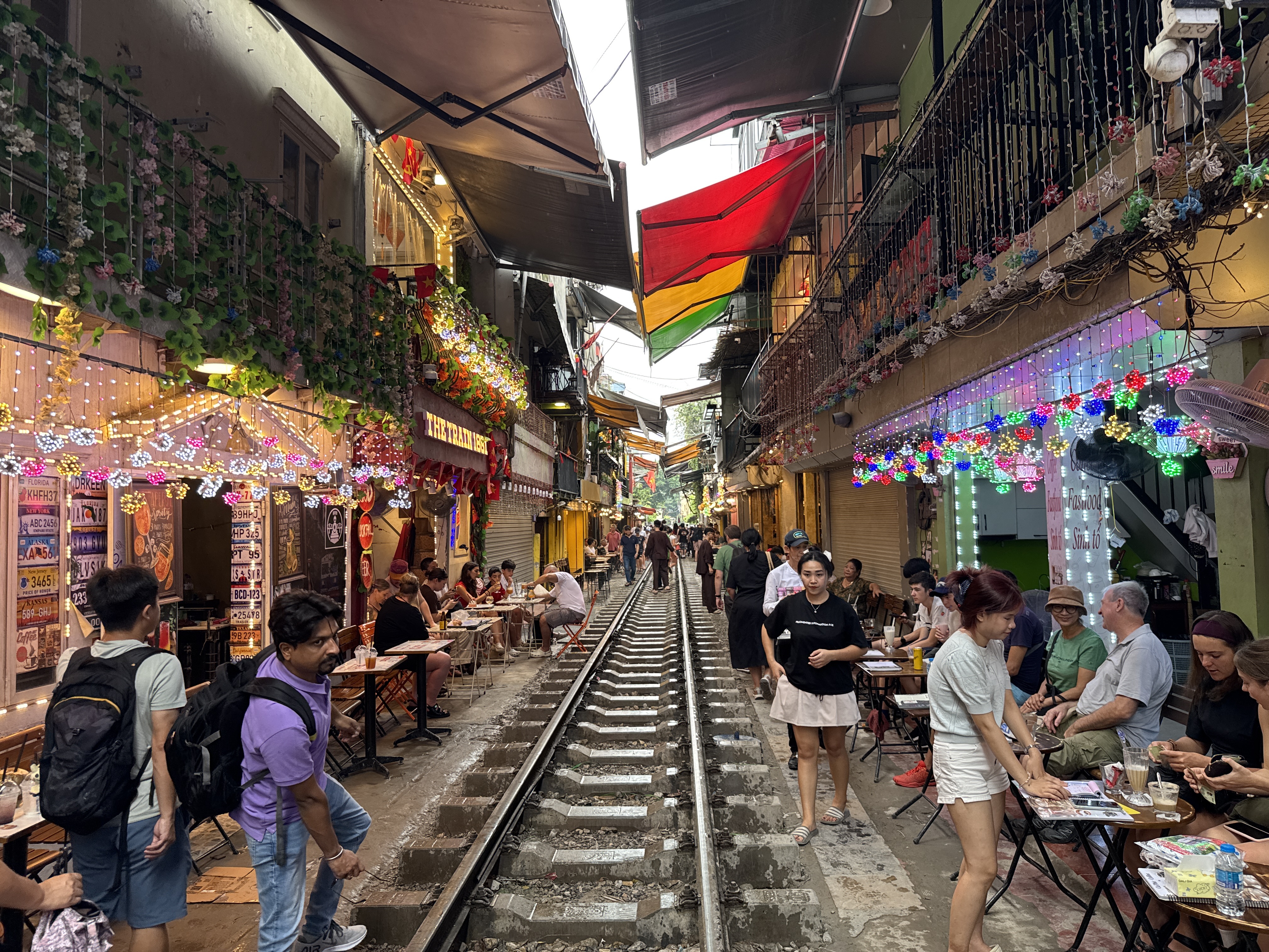
Hanoi’s Train Street grew out of the French colonial railway that cut through the city in the early twentieth century. As the tracks settled into daily life, residents gradually built homes, shops and workshops right up against the line until the passing trains brushed past doorways and windows with only a few feet to spare.
For decades this was simply a working-class neighbourhood where the railway was an ordinary inconvenience. Then social media discovered the surreal sight of locomotives roaring through a residential lane, and the street transformed almost overnight into one of Hanoi’s most photographed attractions.
Crowds of visitors began filling the narrow passage, turning doorsteps into makeshift cafés where people sipped coffee and waited for the next train. Safety concerns eventually forced the authorities to restrict public access, yet the atmosphere remains.
Today the street still carries the same charged energy: laundry hanging above the rails, vendors selling cold drinks ...