

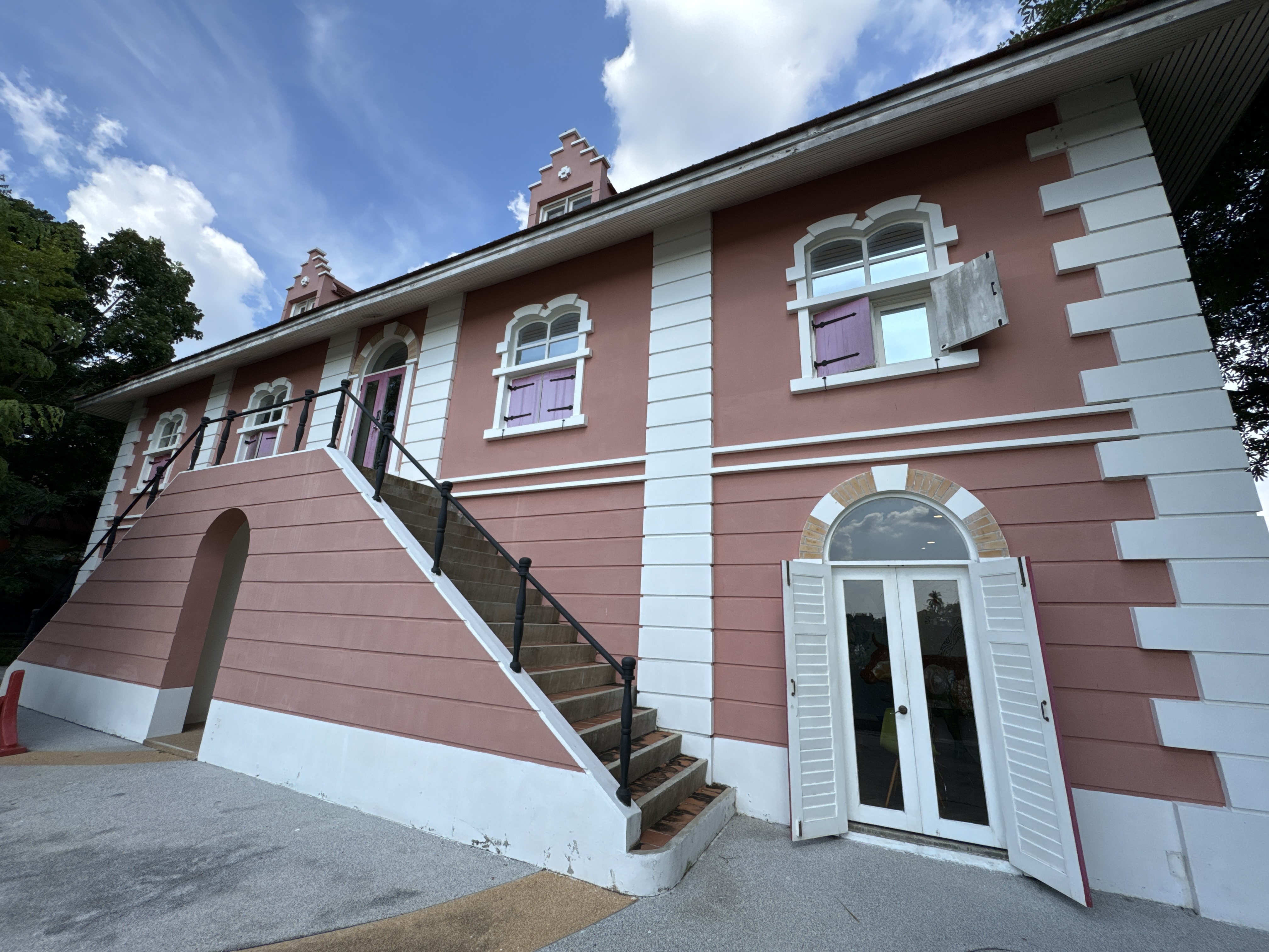
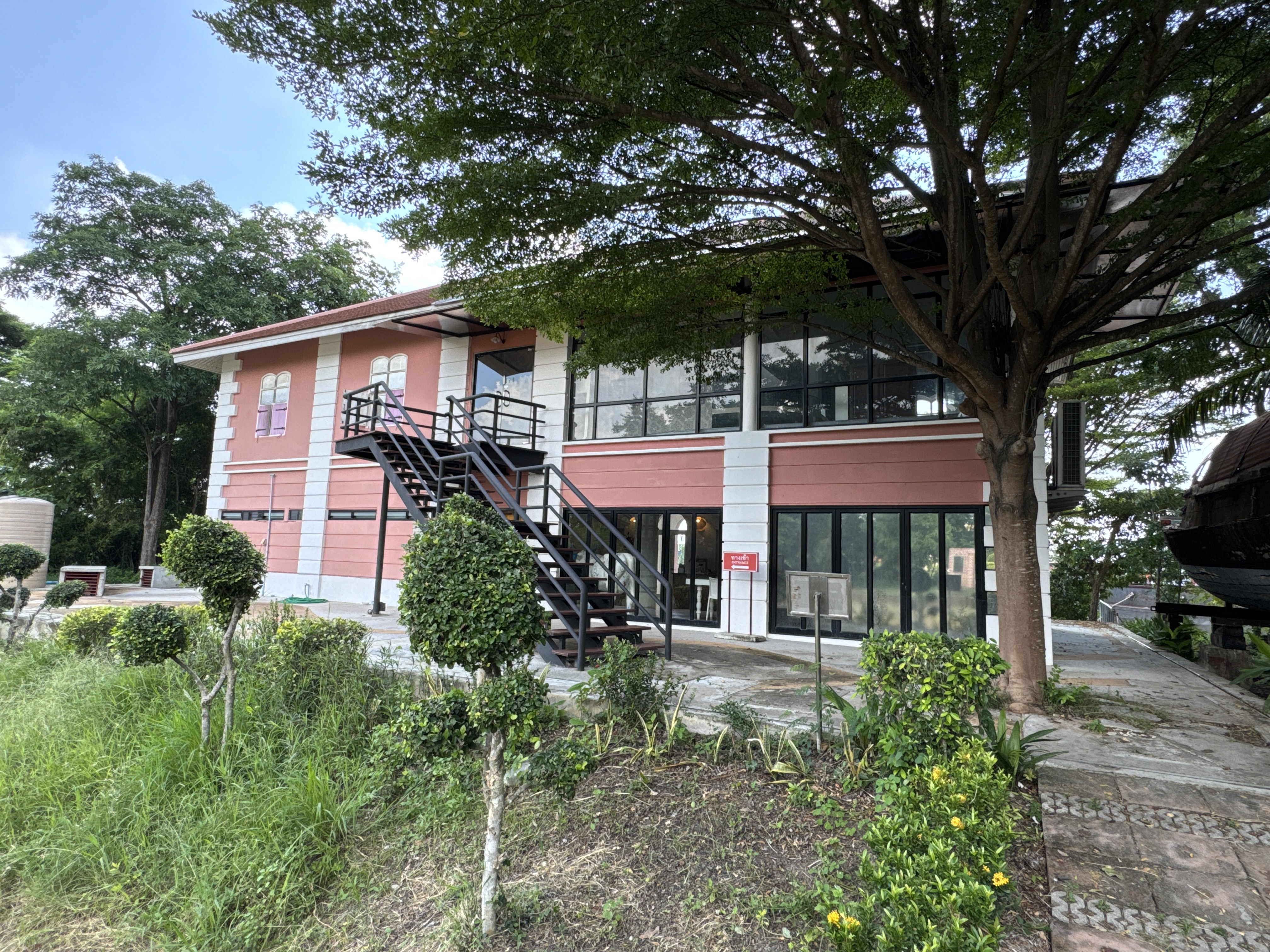
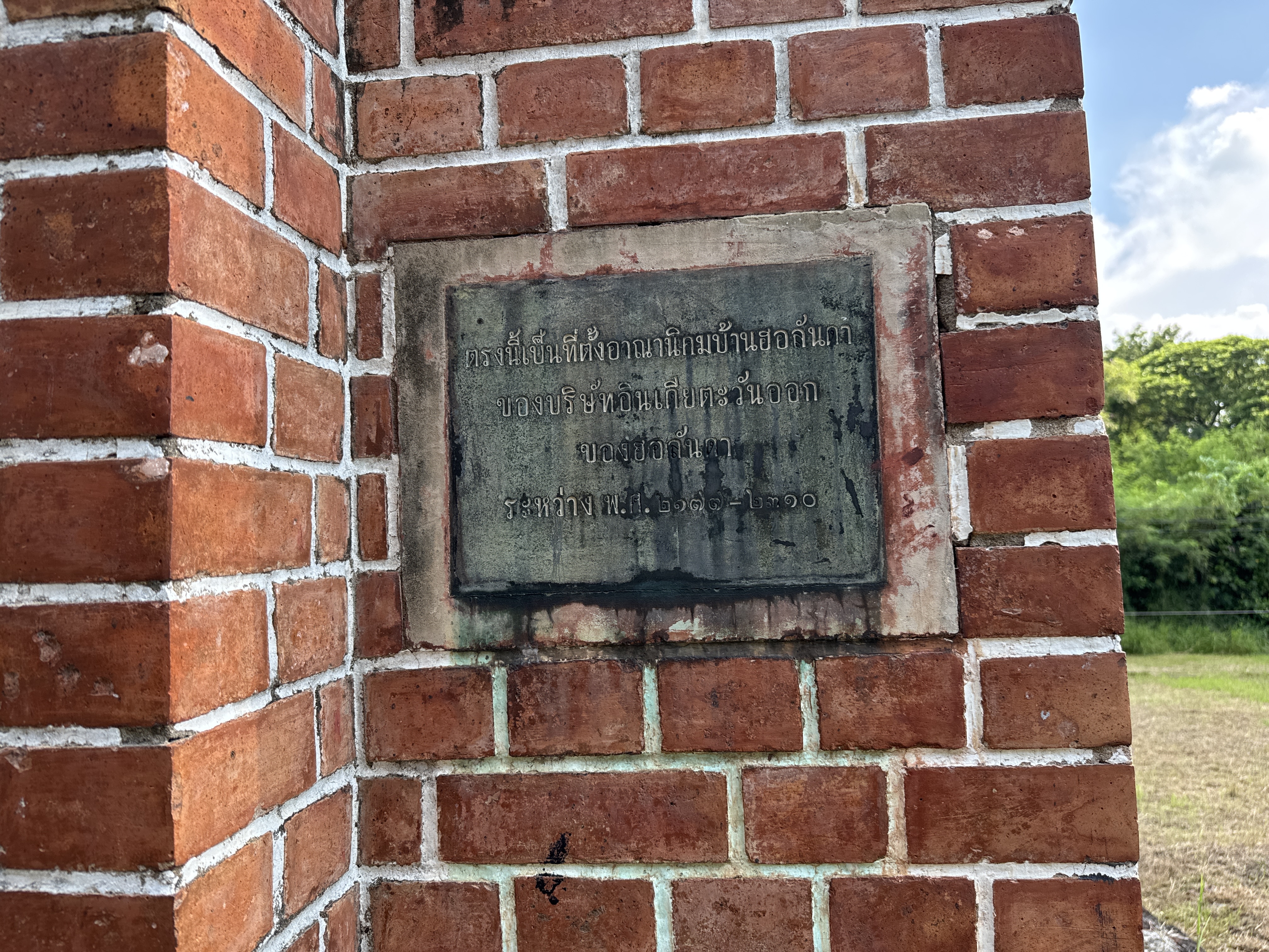
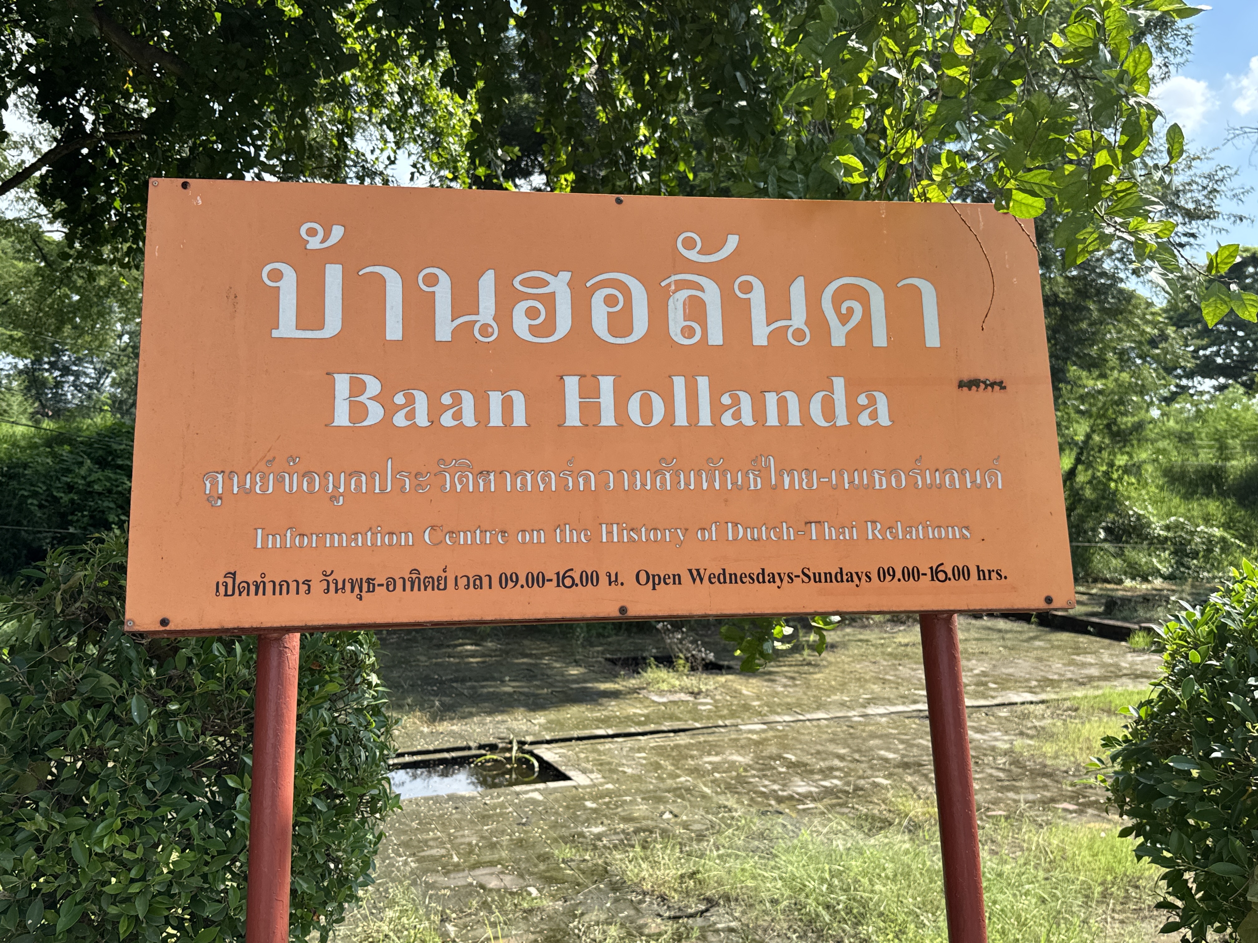
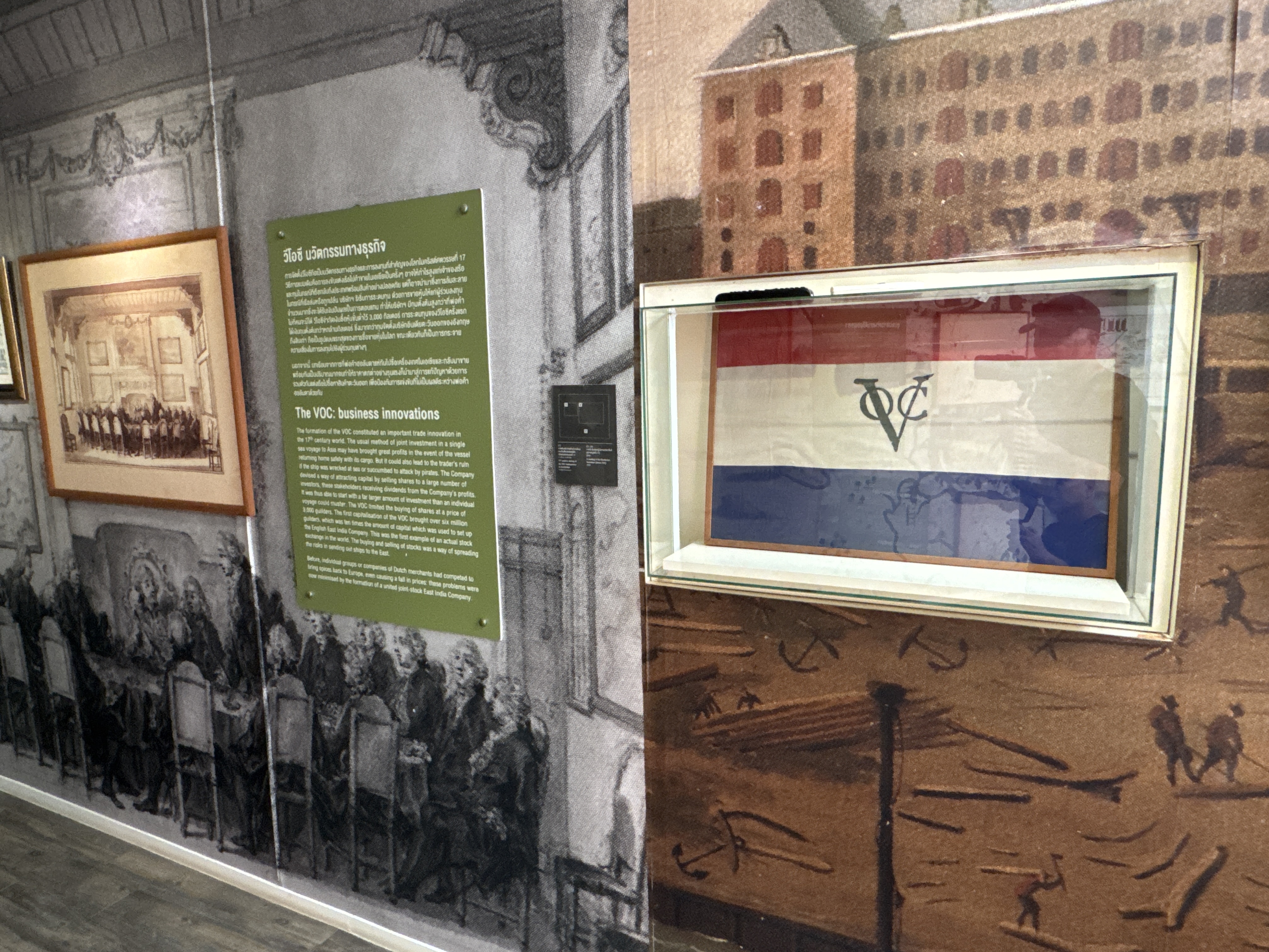
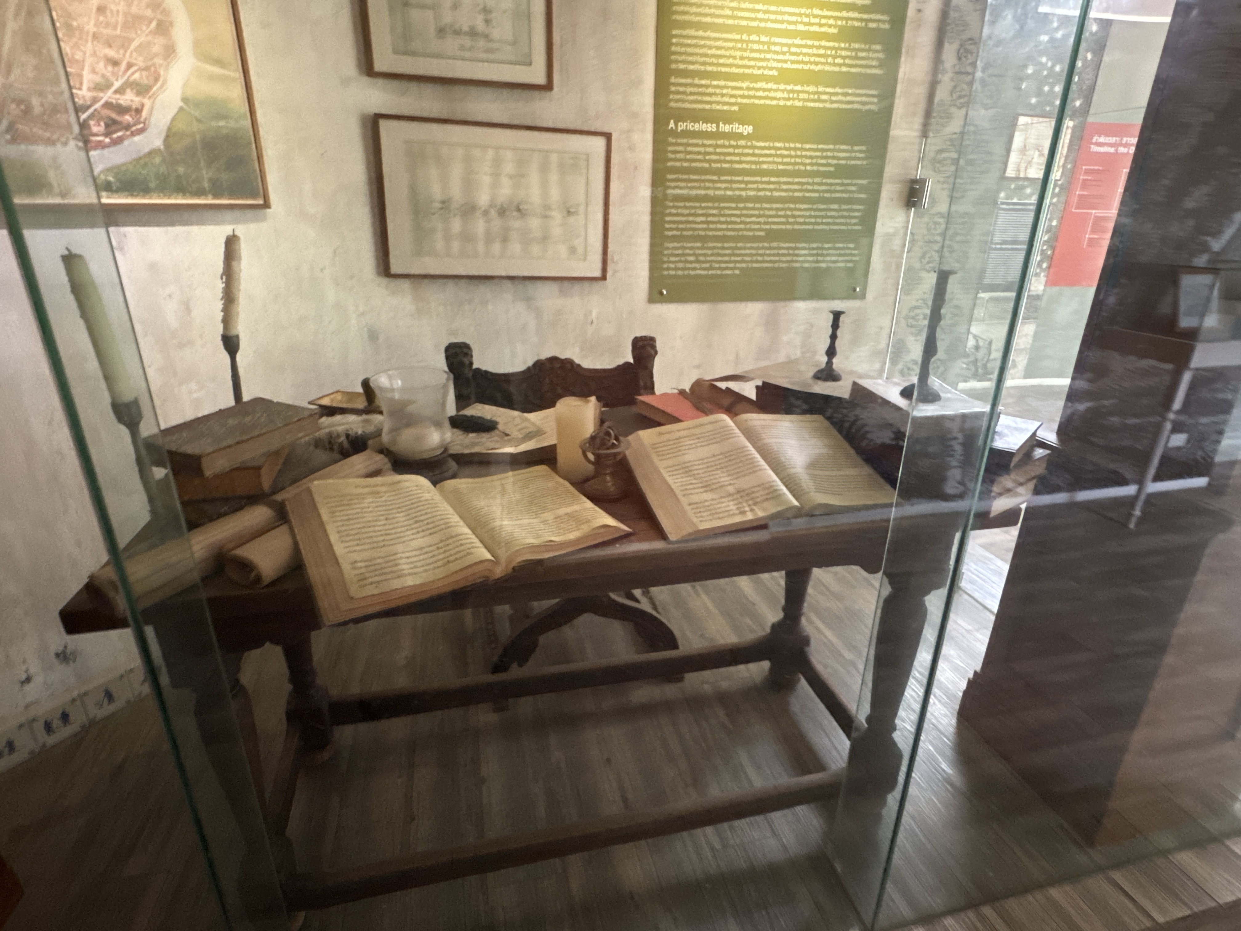
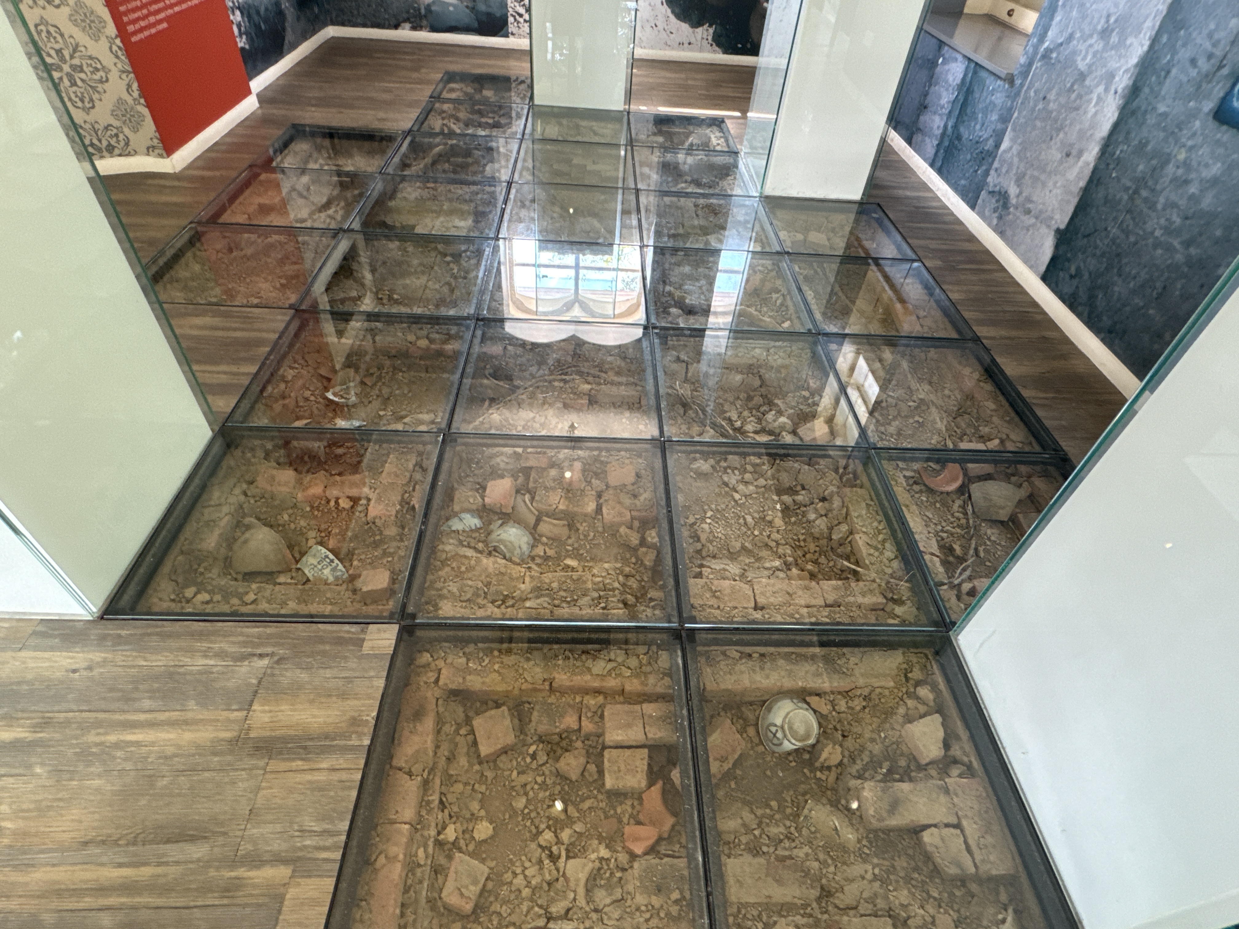
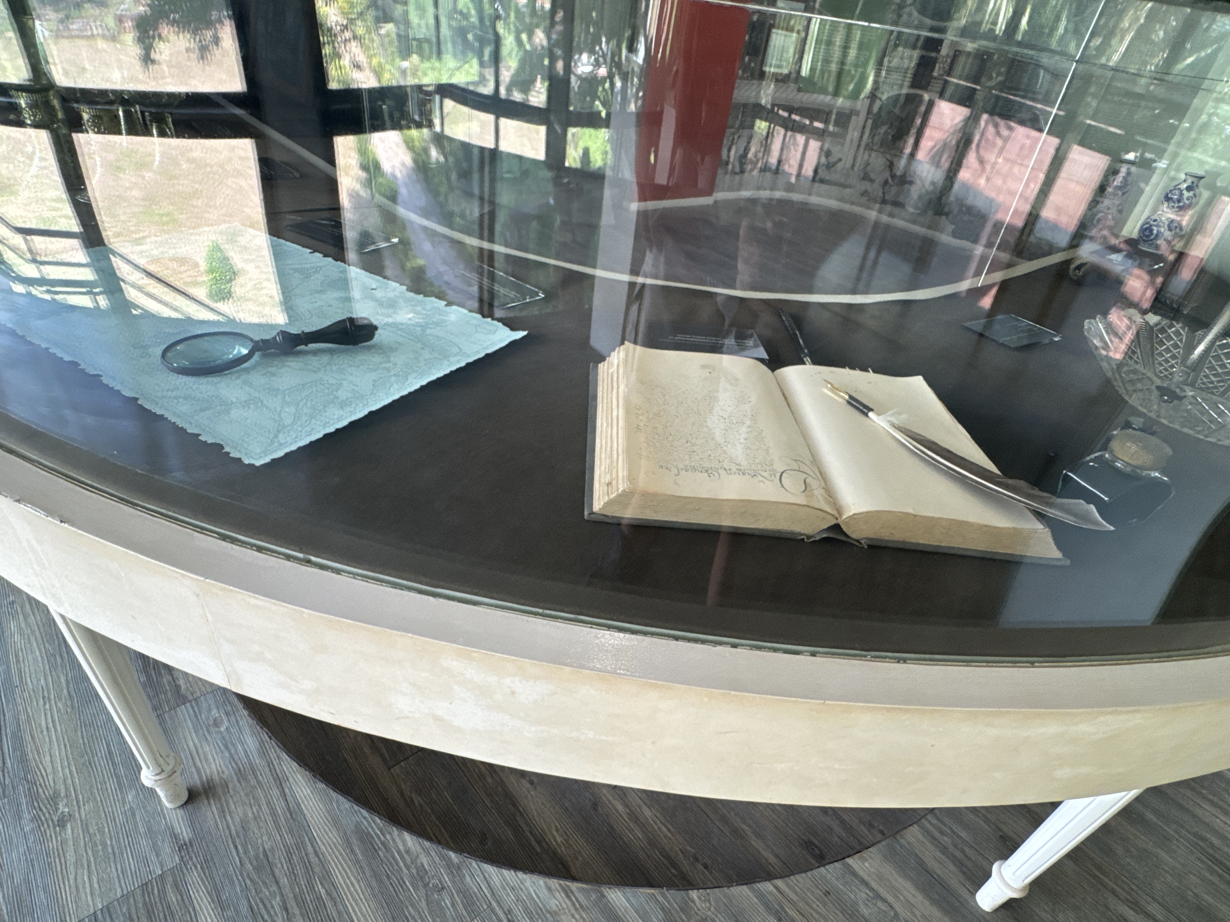
Baan Hollanda บ้านฮอลันดา is a former Dutch trading village in Thailand, founded in 1643 during the Ayutthaya era. Located along the Chao Phraya river near the Ayutthaya Historical Park, to the south of the city island. It was established by the Dutch East India Company (VOC).
The term "Wilanda" was used by the Siamese in the past to mean those from the Netherlands, or the Dutch. It was derived from the Malay "Orang Belanda". It was used to denote the Dutch in Java and elsewhere in the East Indies. "Belanda" itself was possibly derived from the Portuguese "Hollanda" (Holland).
The Dutch first established formal trade relations with Siam in 1604, towards the end of King Naresuan’s reign. In 1608, King Ekathotsarot granted permission to the Dutch East India Company (VOC) to open its trading post in Ayutthaya.
The location was in the southern part of the walled island city and was a rather constricted space. In 1634, during the reign of King Prasat Thong, a new VOC ...
The Historic Center of Bukhara is one of the most complete and best preserved medieval Islamic cities in Central Asia and a UNESCO World Heritage Site inscribed in 1993.
Located in the fertile Zeravshan River oasis of south-central Uzbekistan, this ancient settlement has been continuously inhabited for more than two thousand five hundred years. Long before the arrival of Islam it served as a thriving Sogdian trading center on the Silk Road, and after the Arab conquest in the early eighth century it grew into a major religious, intellectual and commercial capital of the Islamic world, especially under the Samanid dynasty in the ninth and tenth centuries.
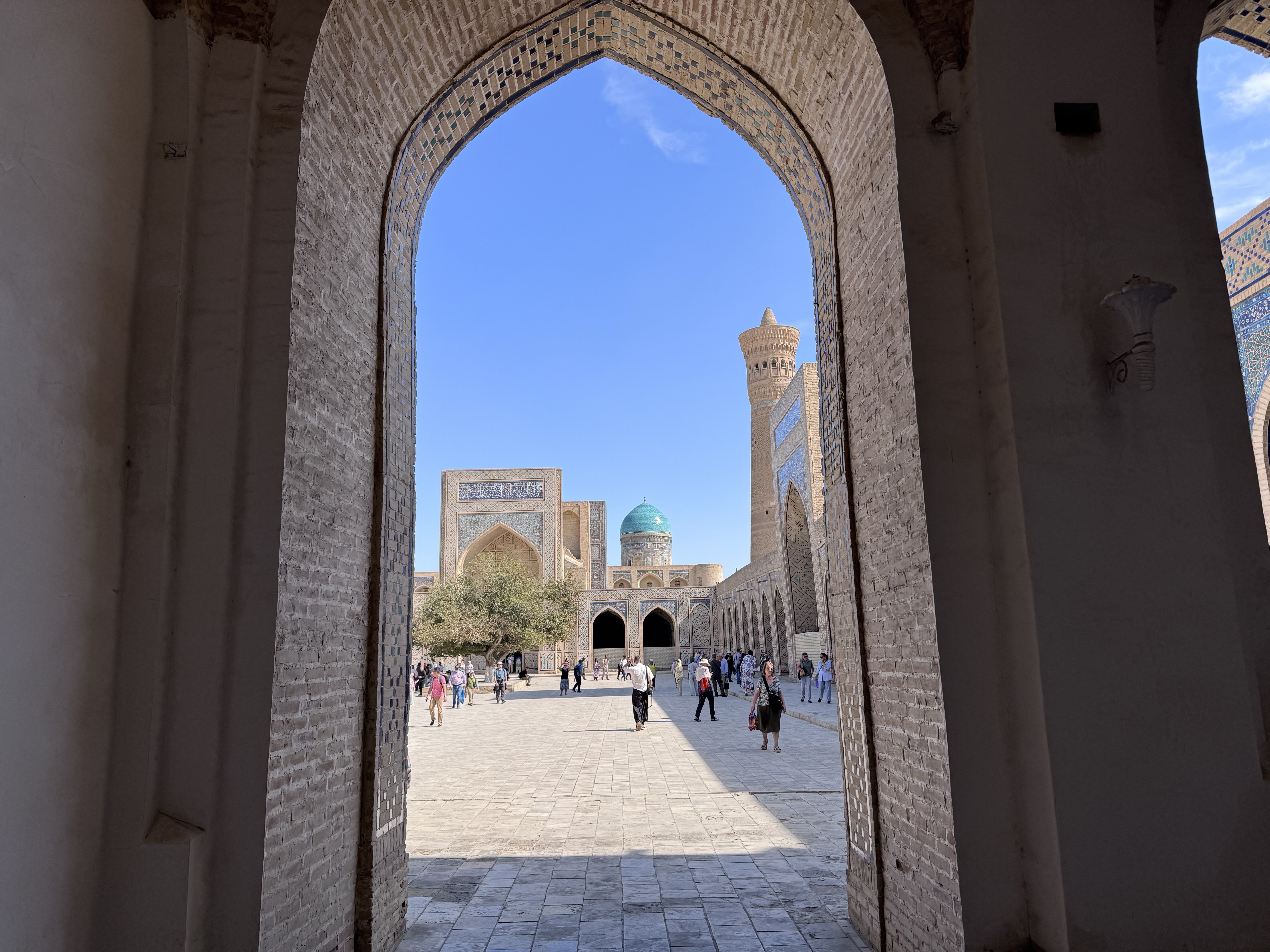
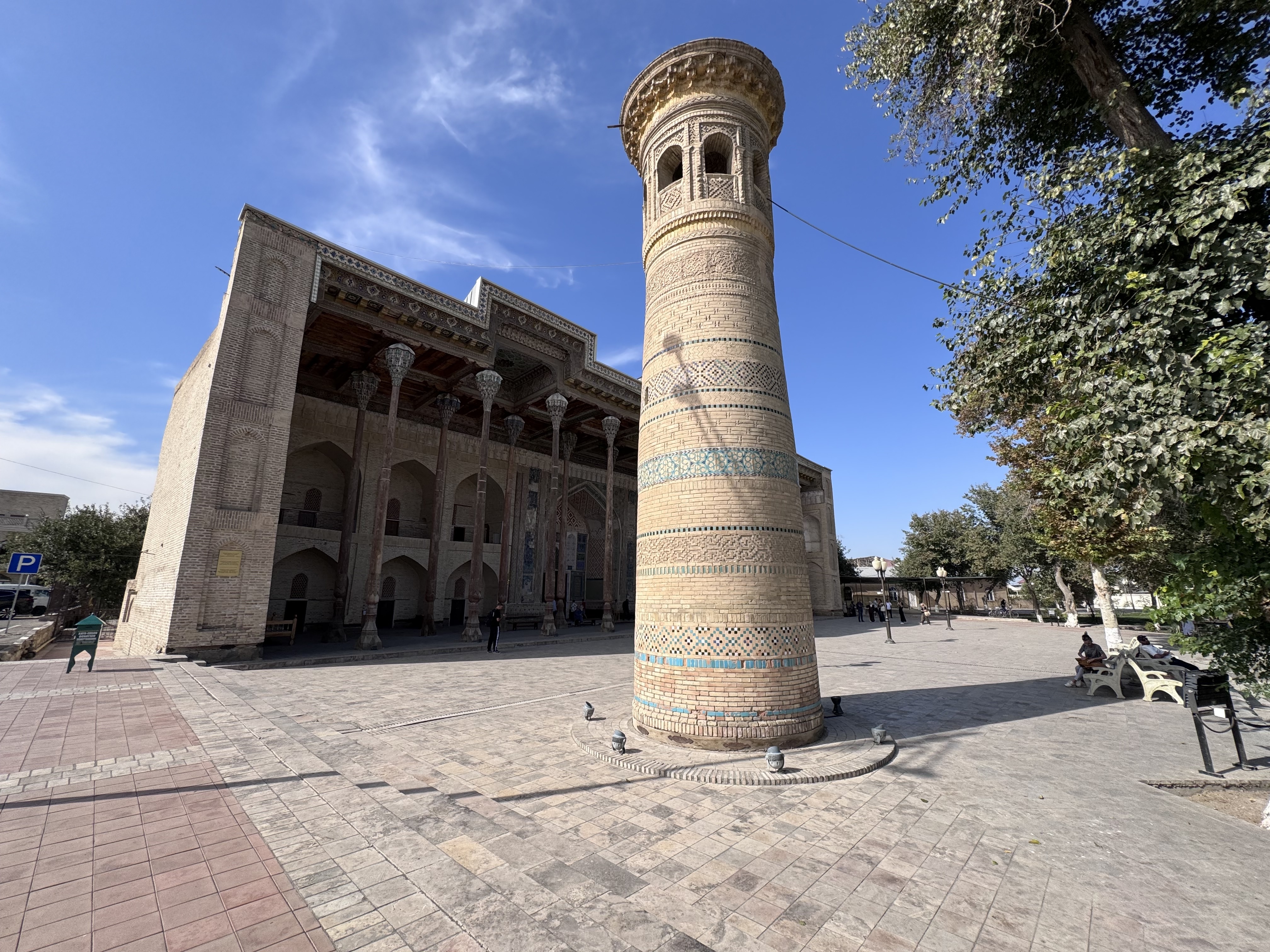
In 1220 the armies of Genghis Khan stormed and largely destroyed the city, yet one structure so impressed the conqueror that it was deliberately spared: the Kalyan Minaret, completed in 1127. Rising nearly fifty meters, this elegant brick tower still dominates the skyline and forms the heart of the Po-i-Kalyan complex, which also includes the ...
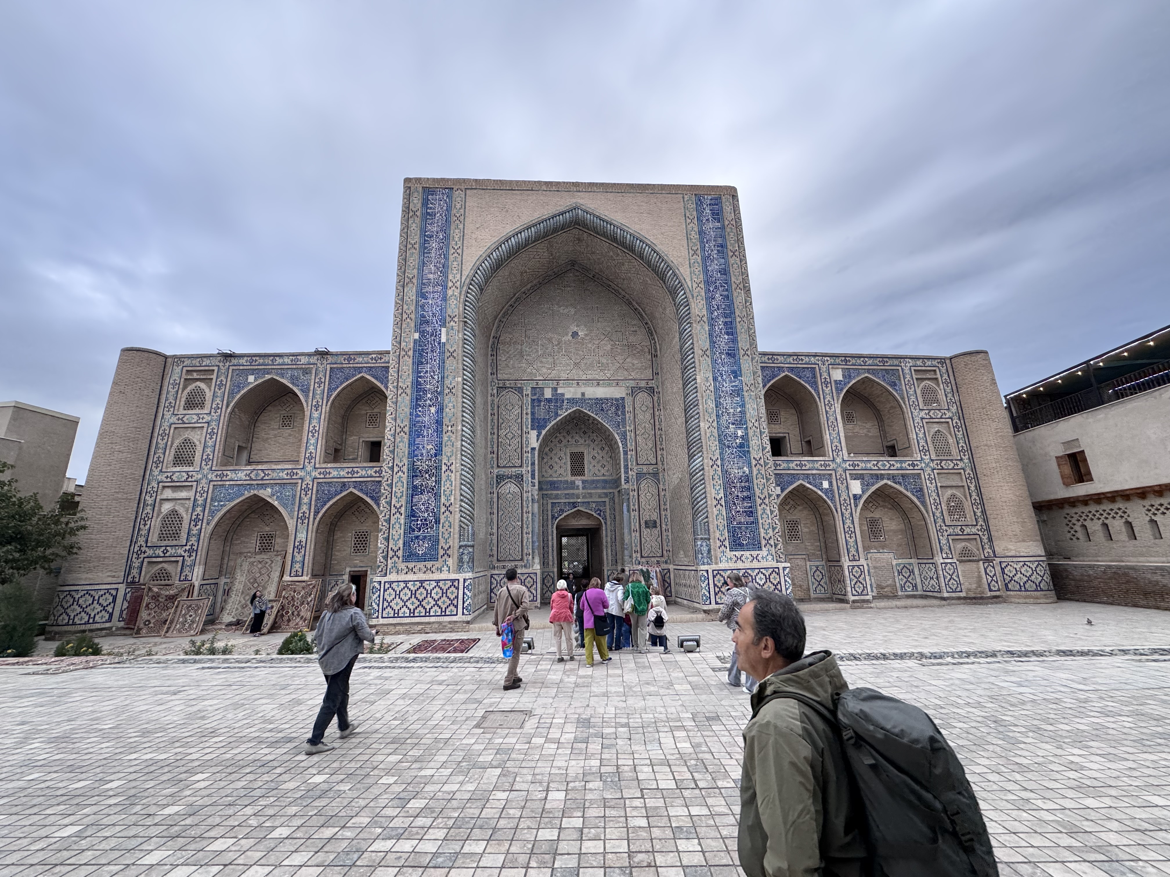
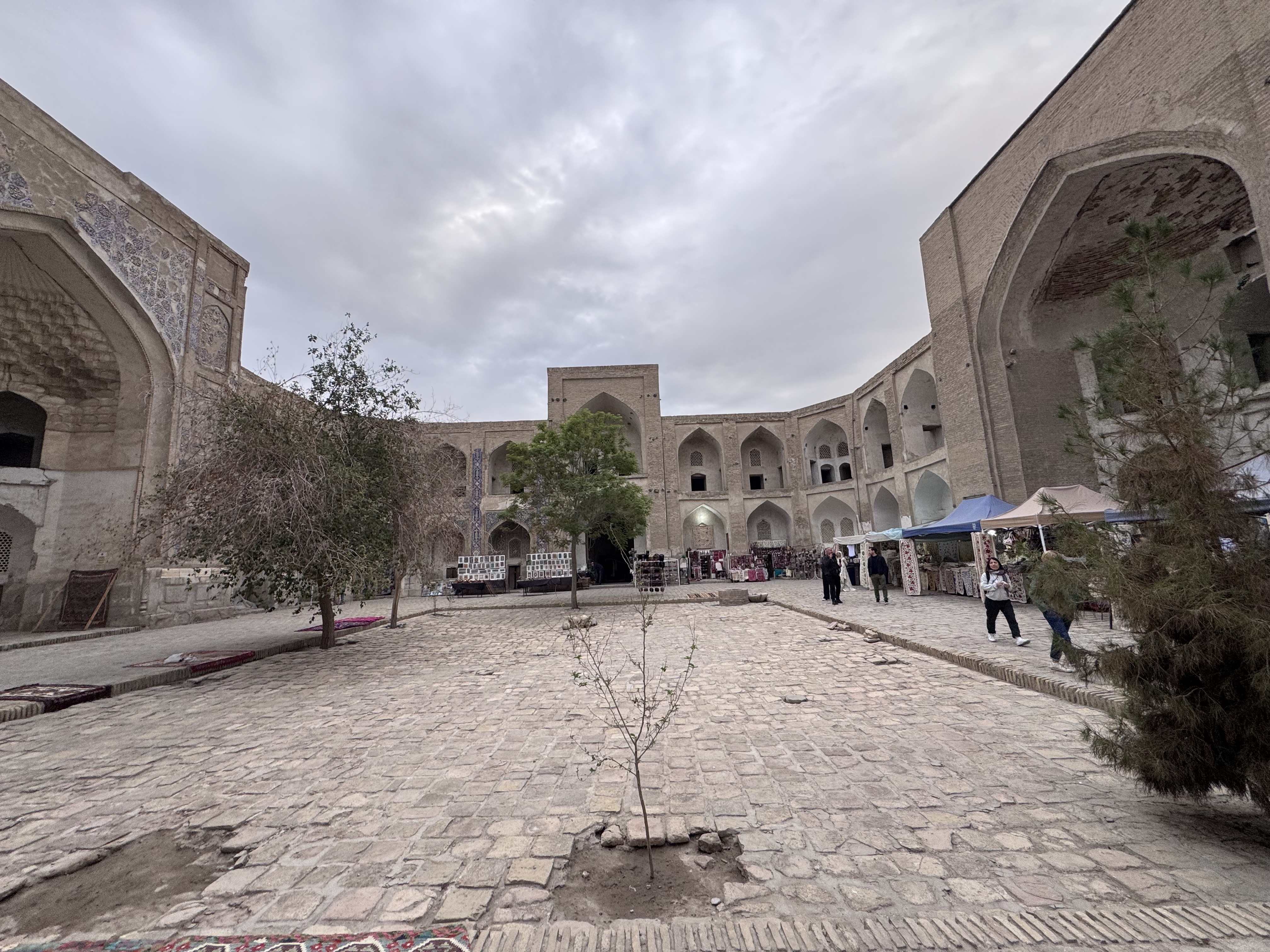
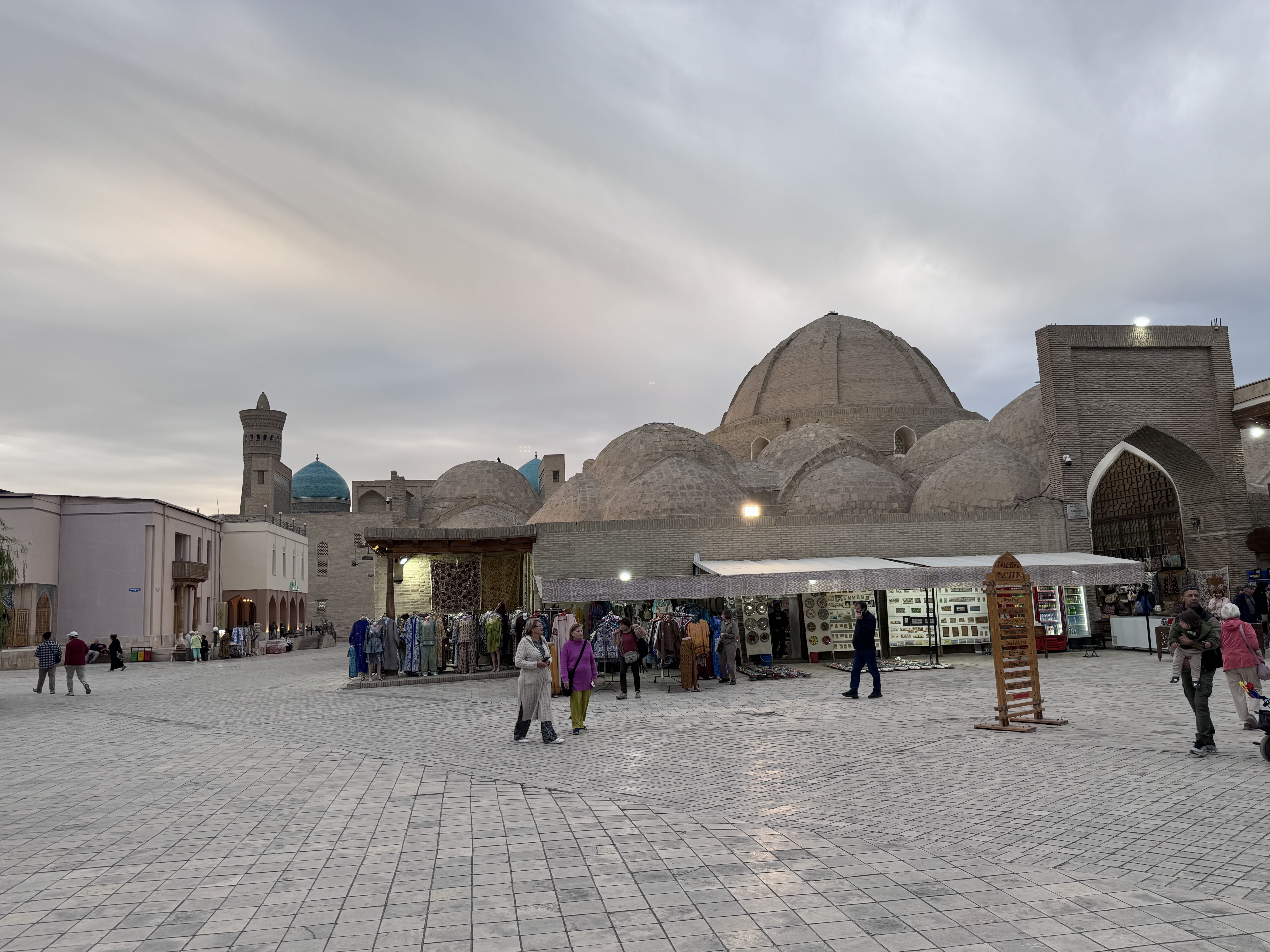
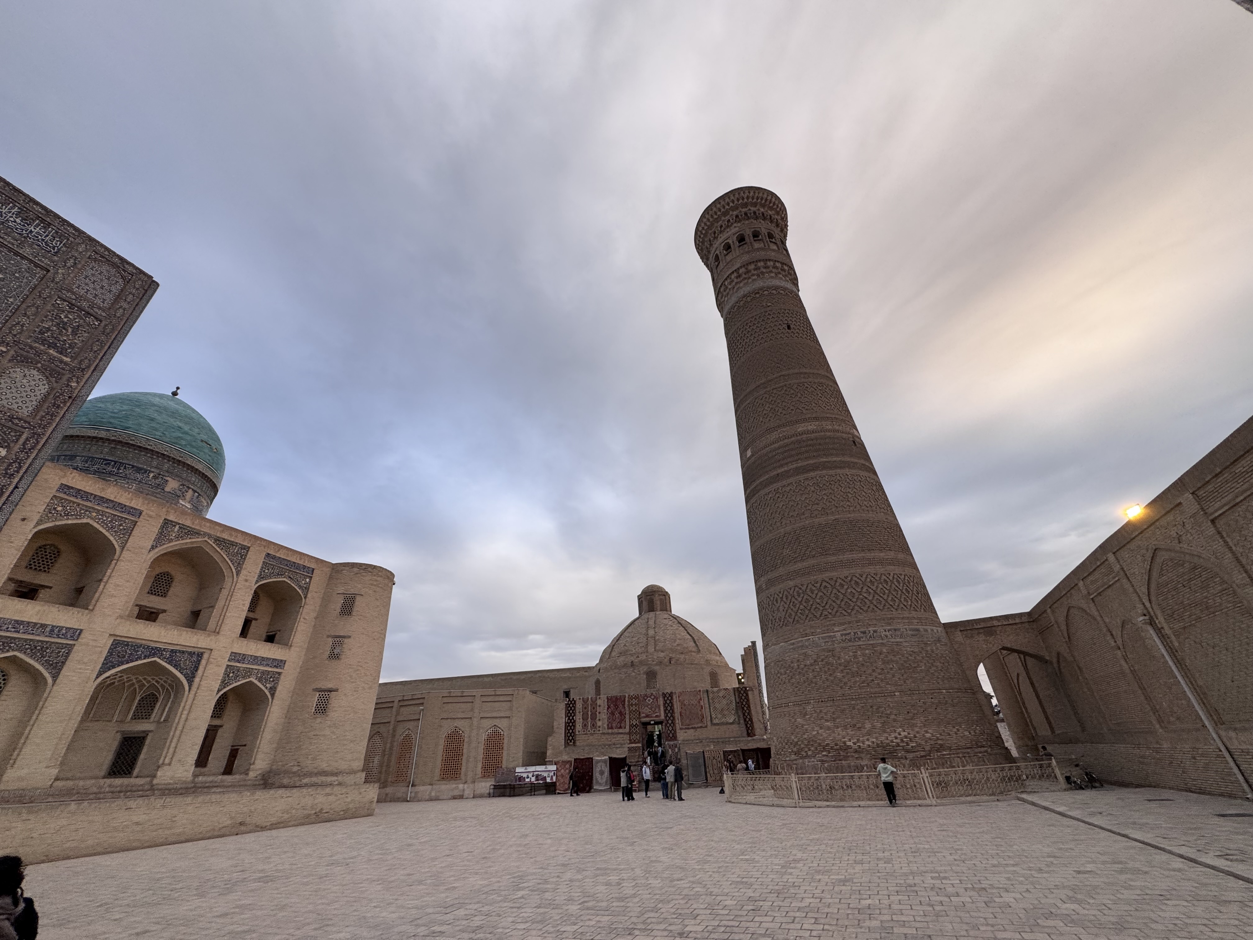
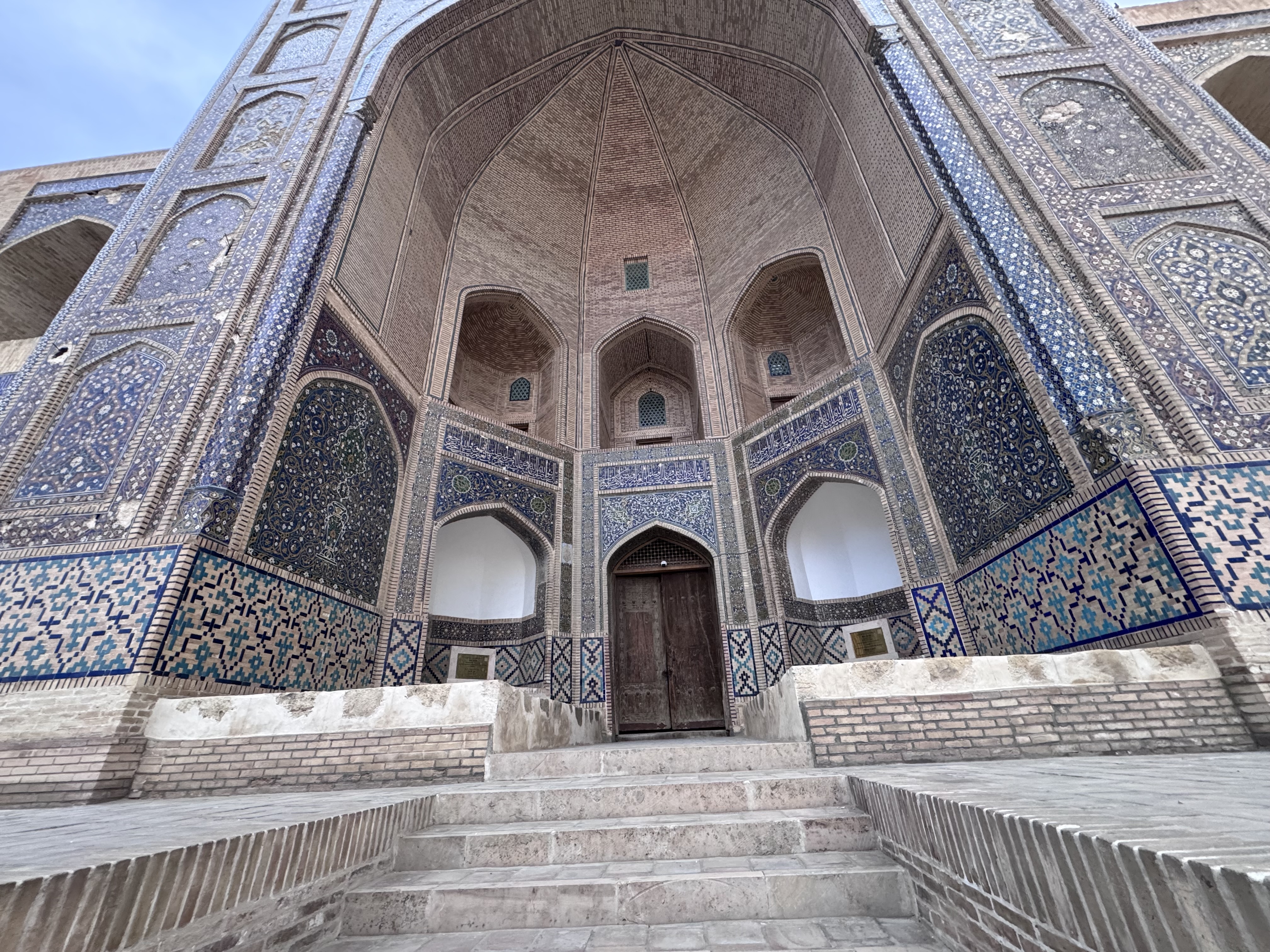
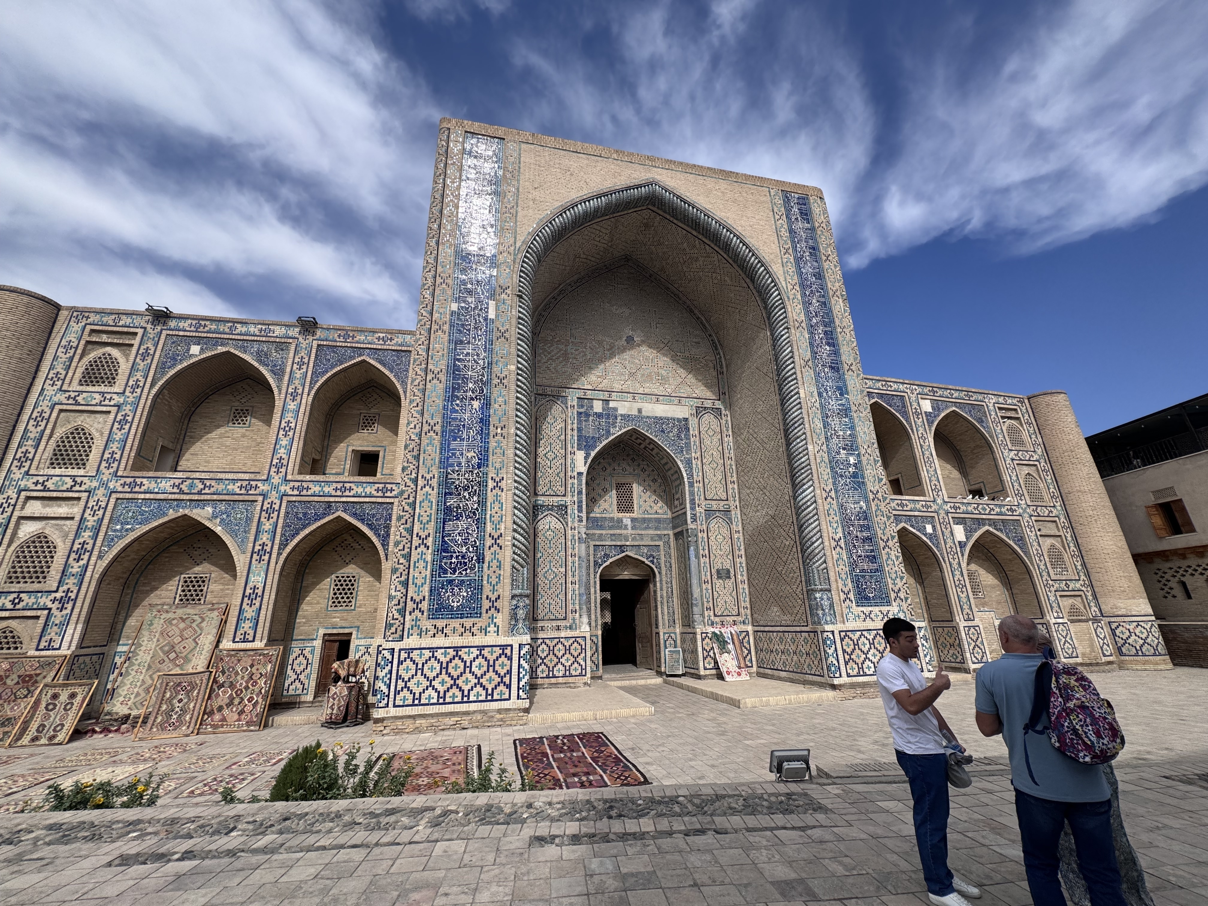
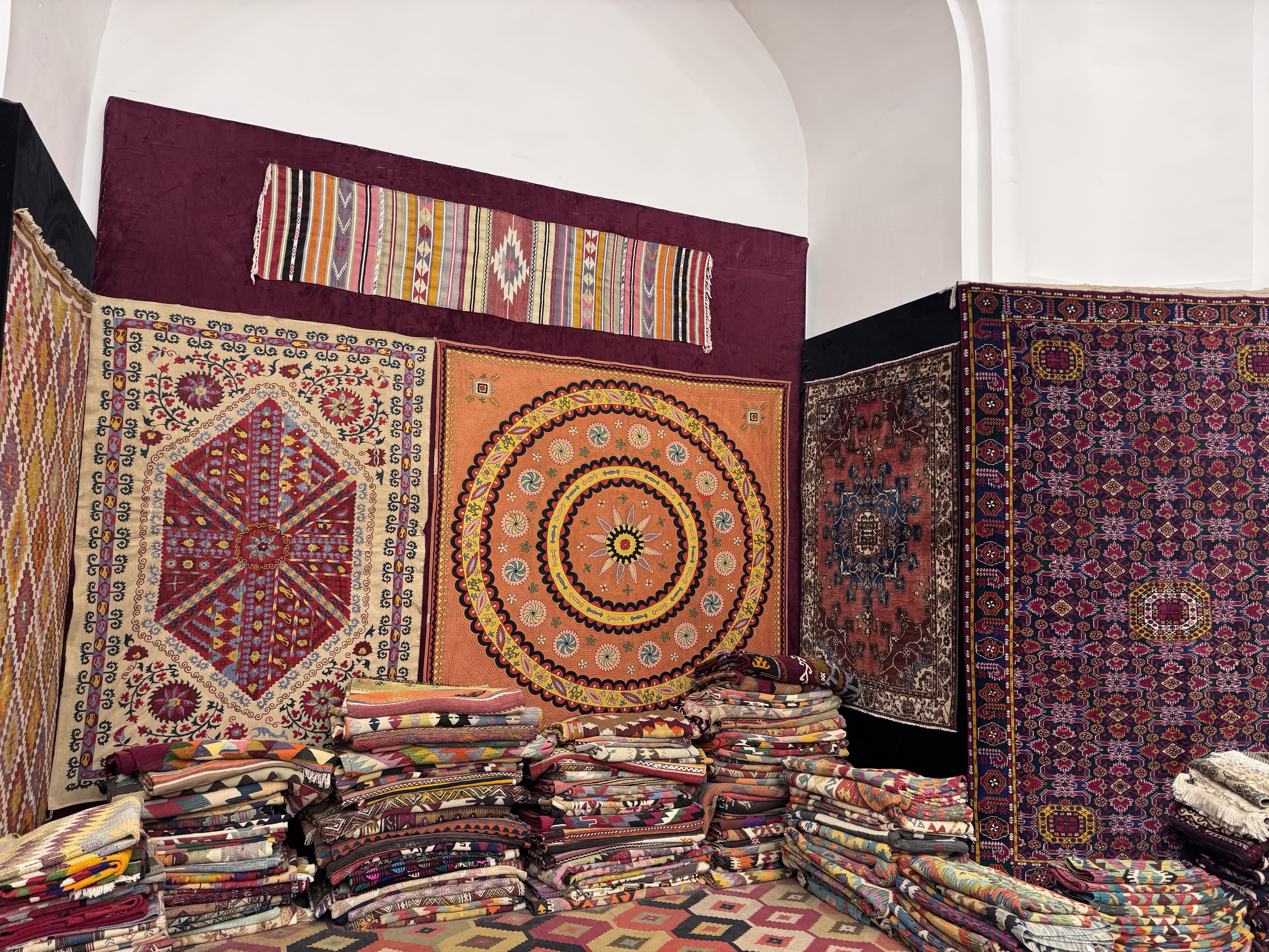
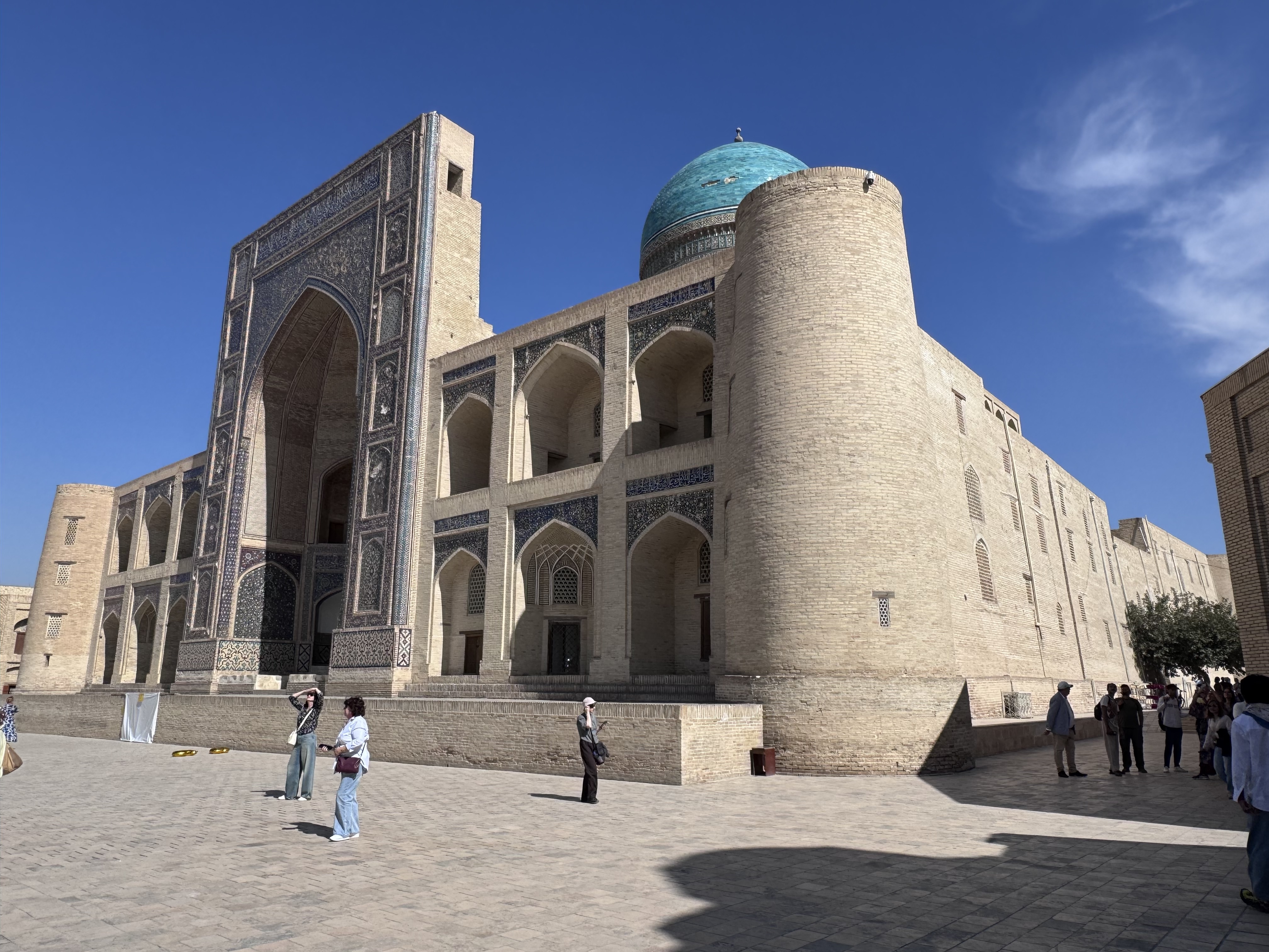
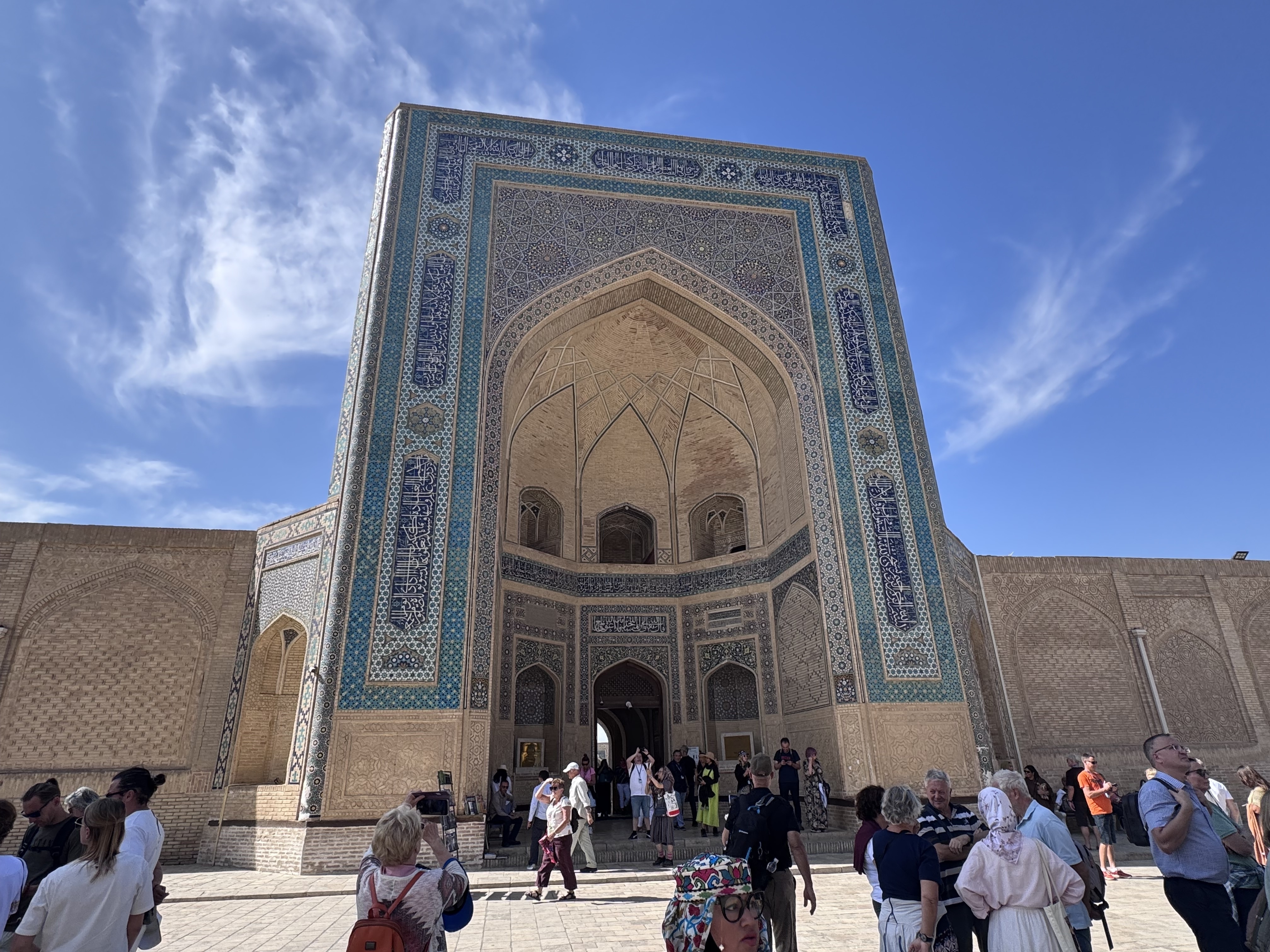
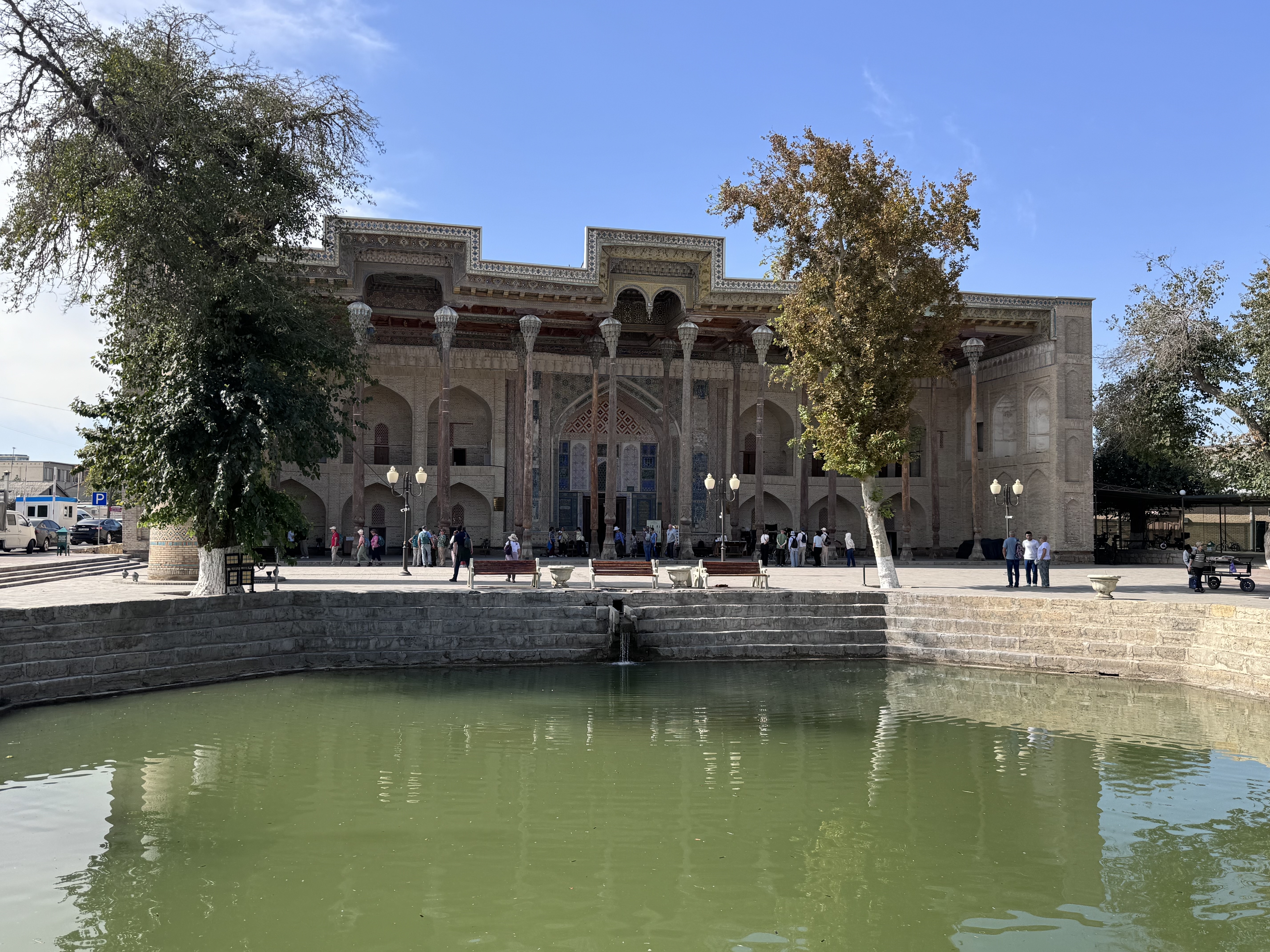
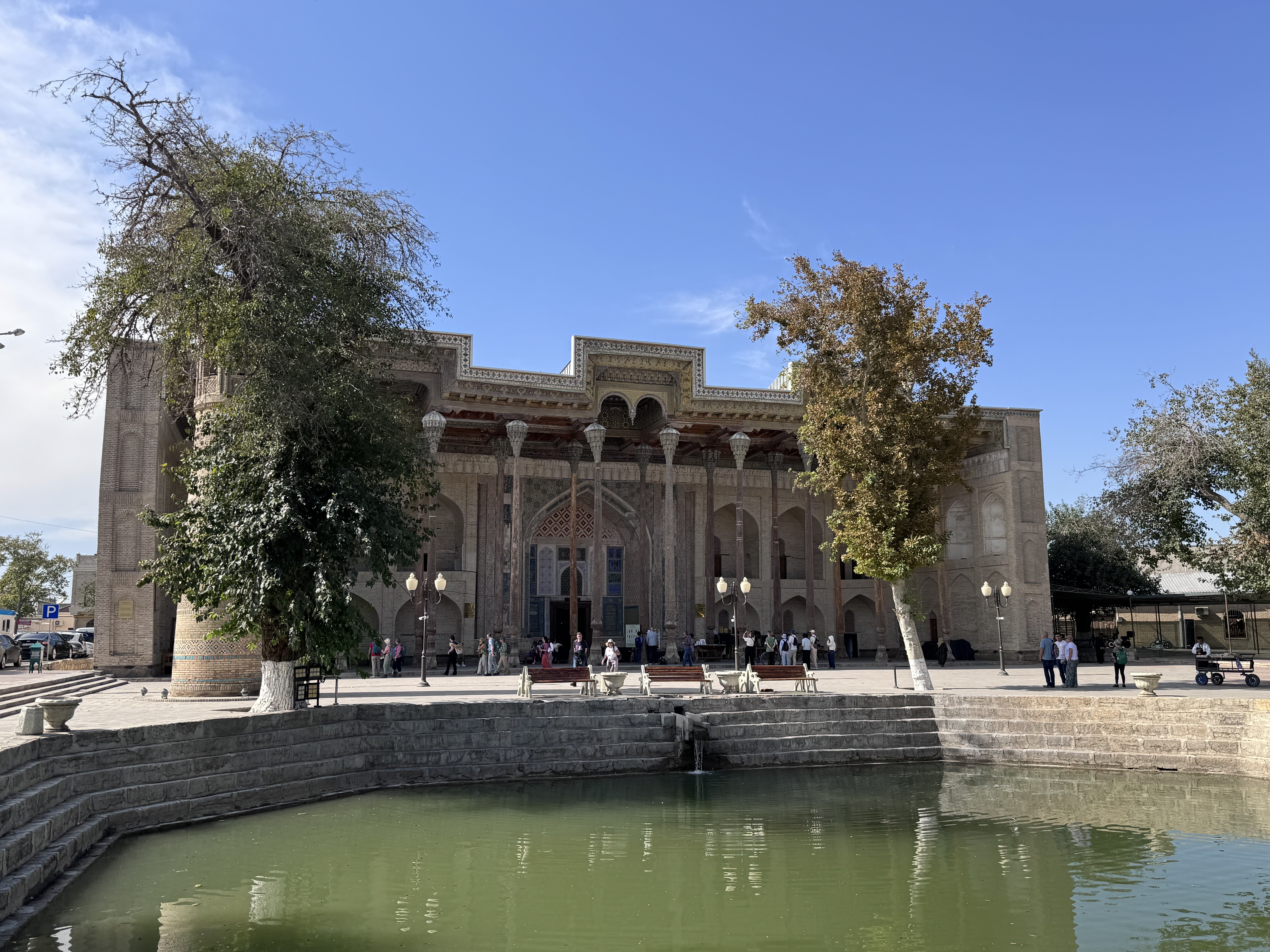
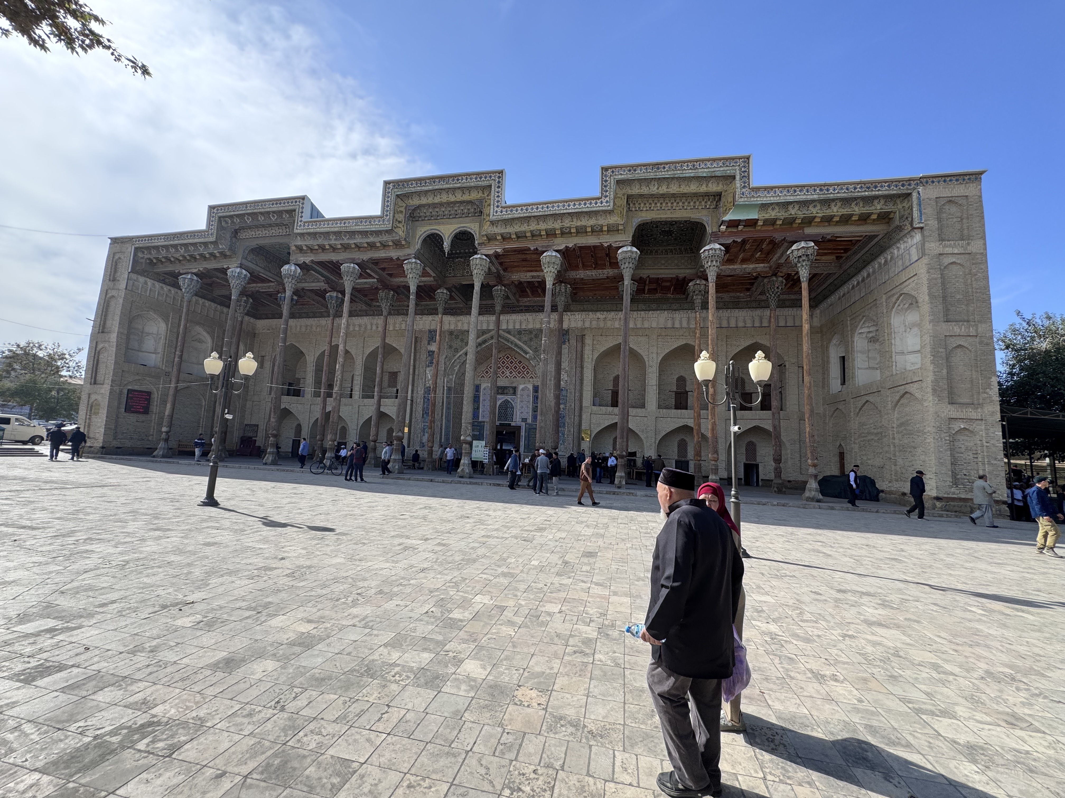
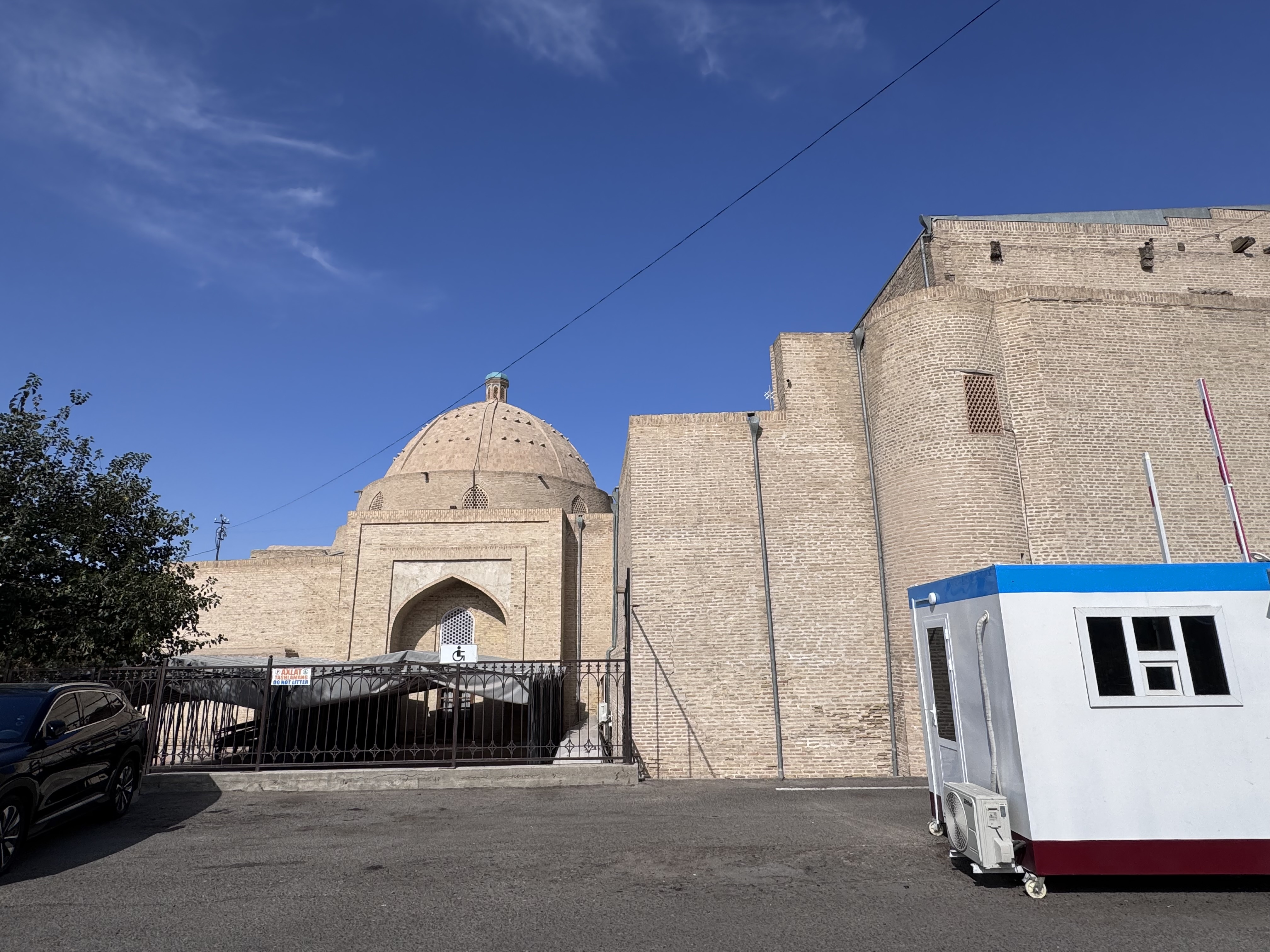
The Bolo Hauz Mosque stands on the western edge of what was once Bukhara’s Registan Square, directly facing the Ark Fortress in a classic paired arrangement that once framed the city’s ceremonial heart.
Built in 1712 early in the reign of Abu’l-Faiz Khan, it ranks among the last major religious monuments raised in Bukhara before the modern era and forms part of the city’s UNESCO-listed Historic Center.
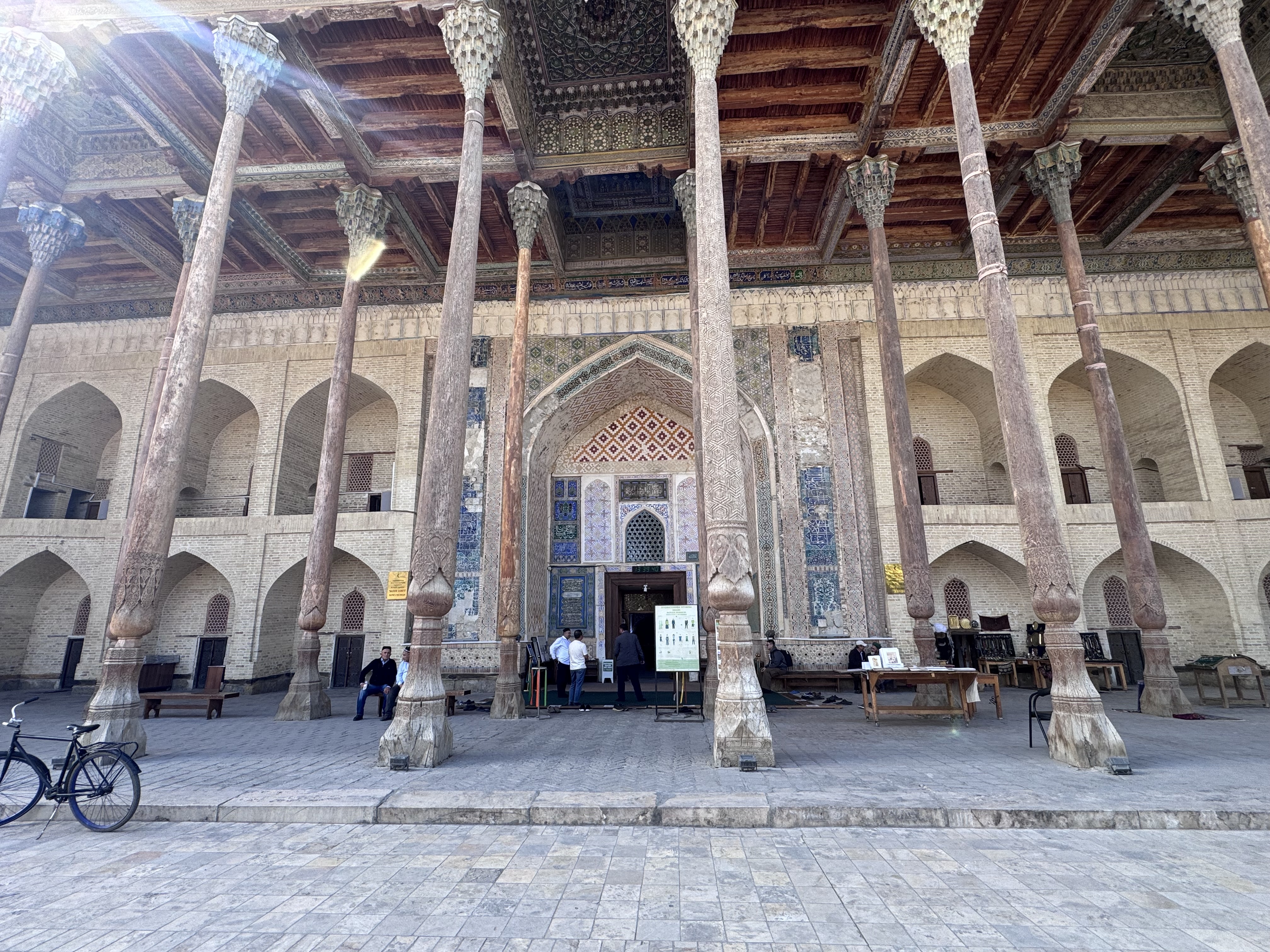
Its name, meaning “above the pool,” refers to the octagonal stone lined hauz that still lies before it, a reservoir that once supplied water for ablutions and daily life and now mirrors the mosque’s slender wooden columns so perfectly that locals call the place the Mosque of Forty Pillars.
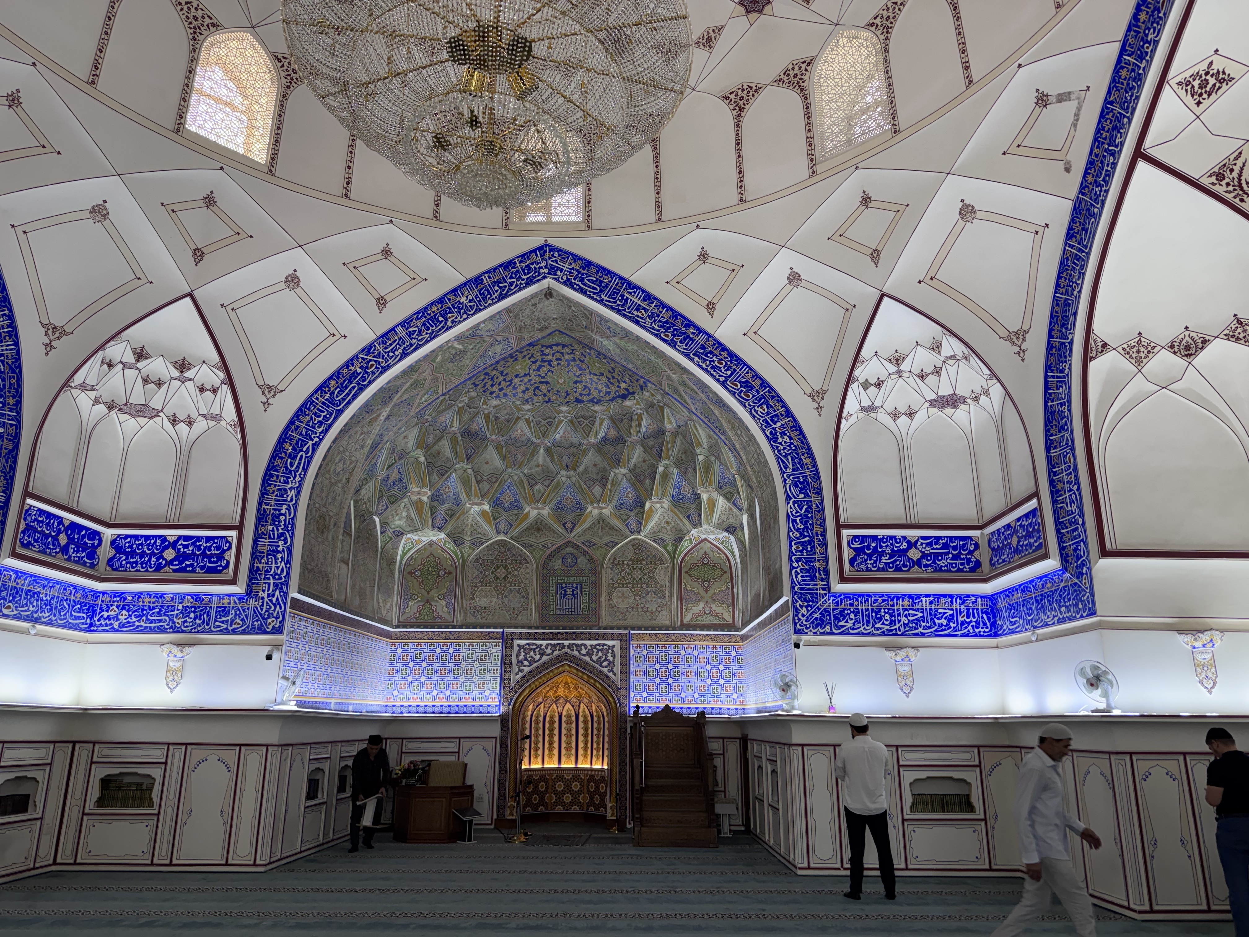
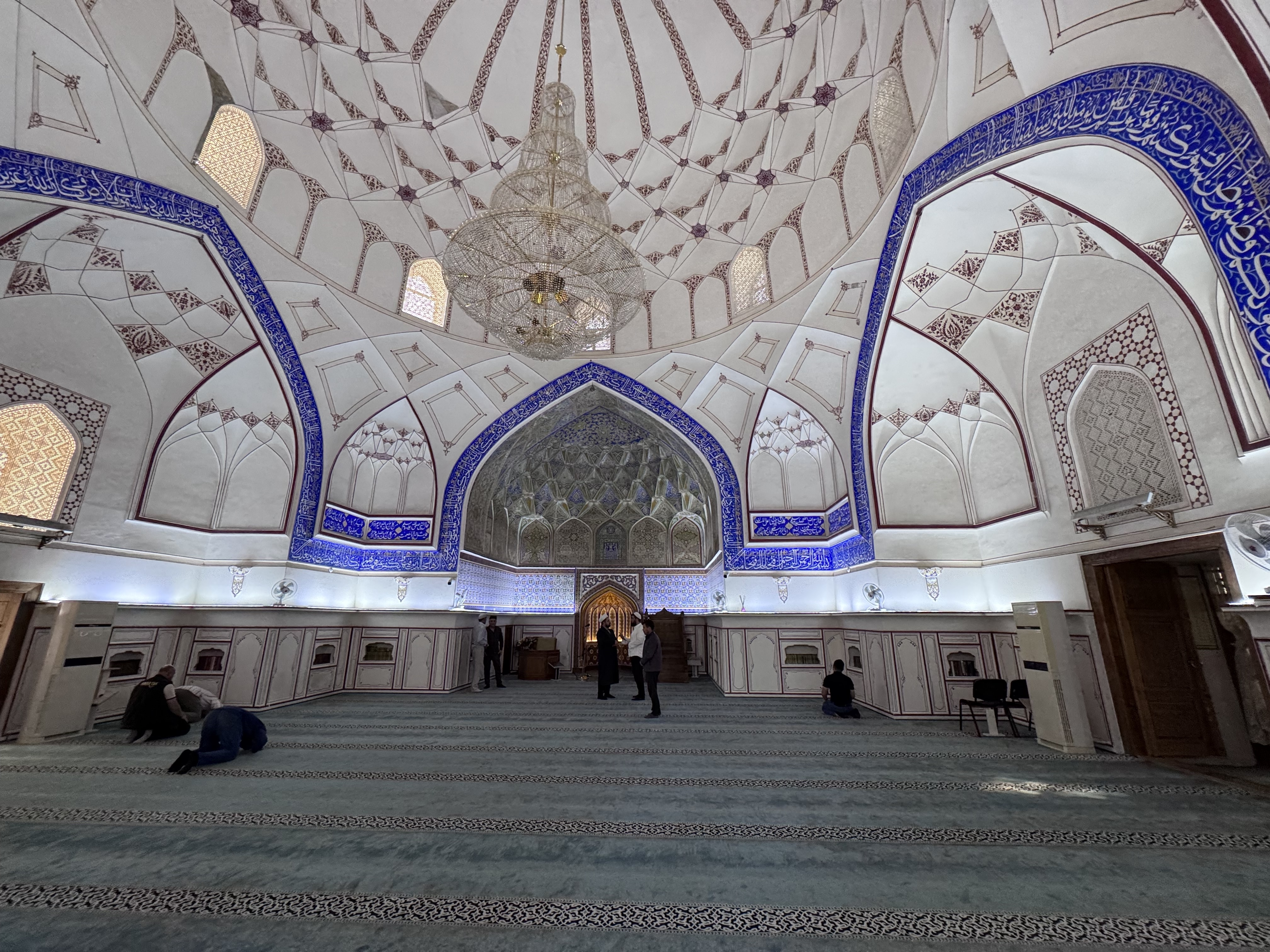
At its core is a solid winter prayer hall of thick brick walls and a spacious dome, its interior marked by the restrained muqarnas vaulting and mihrab typical of eighteenth century Central Asian craftsmanship.
In the early twentieth century, under the last Manghit emir, a luminous summer iwan was ...

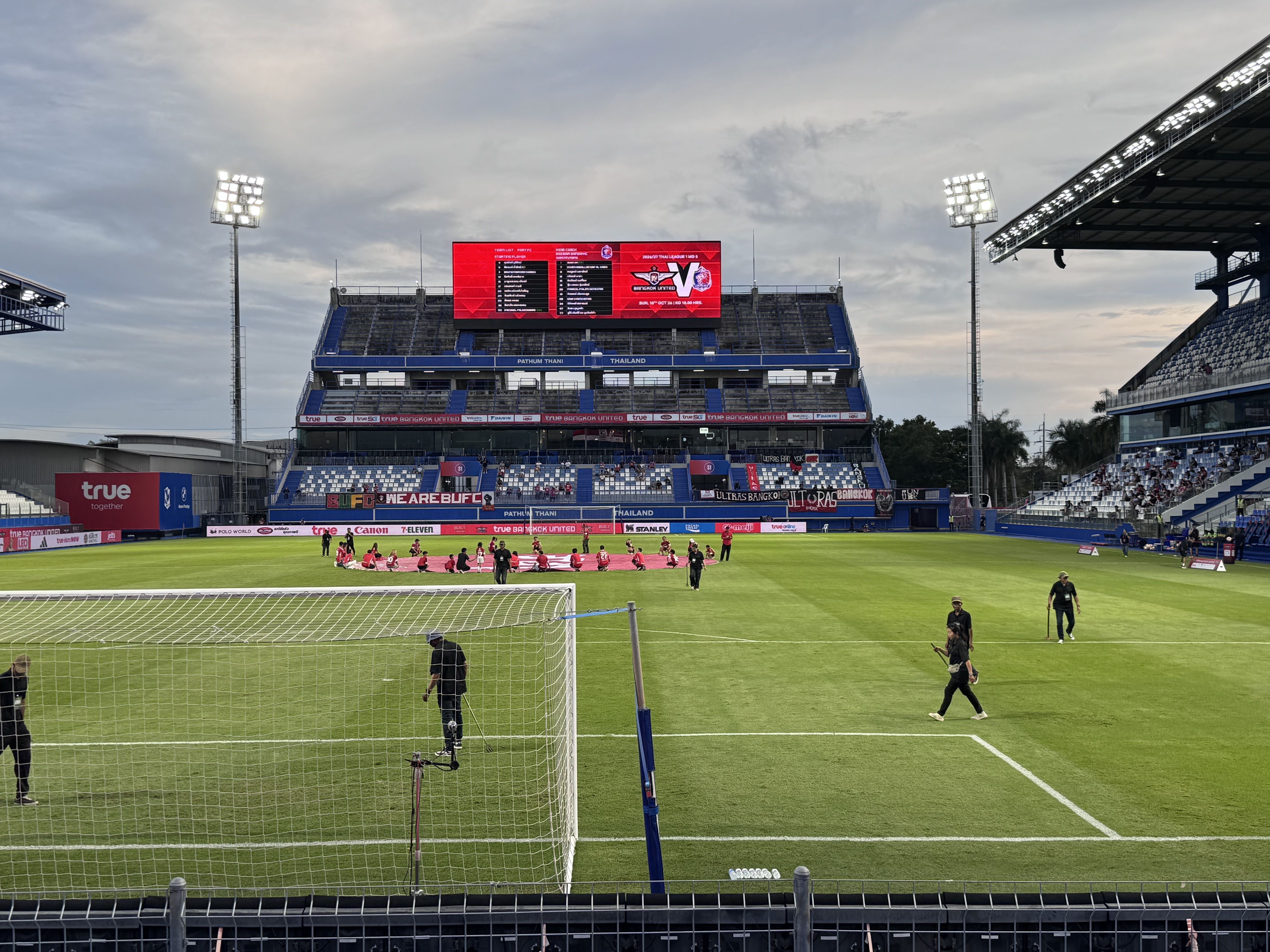
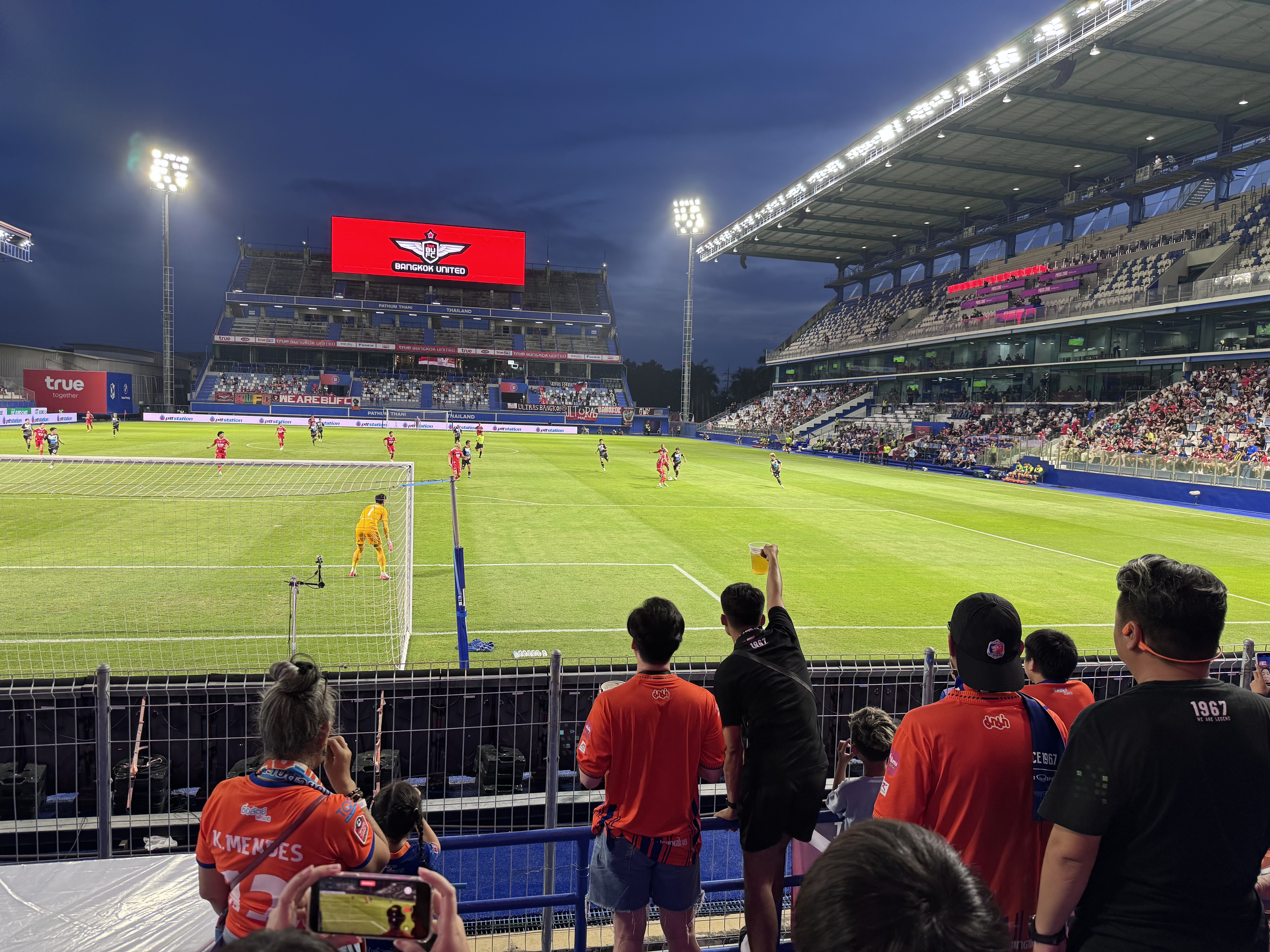
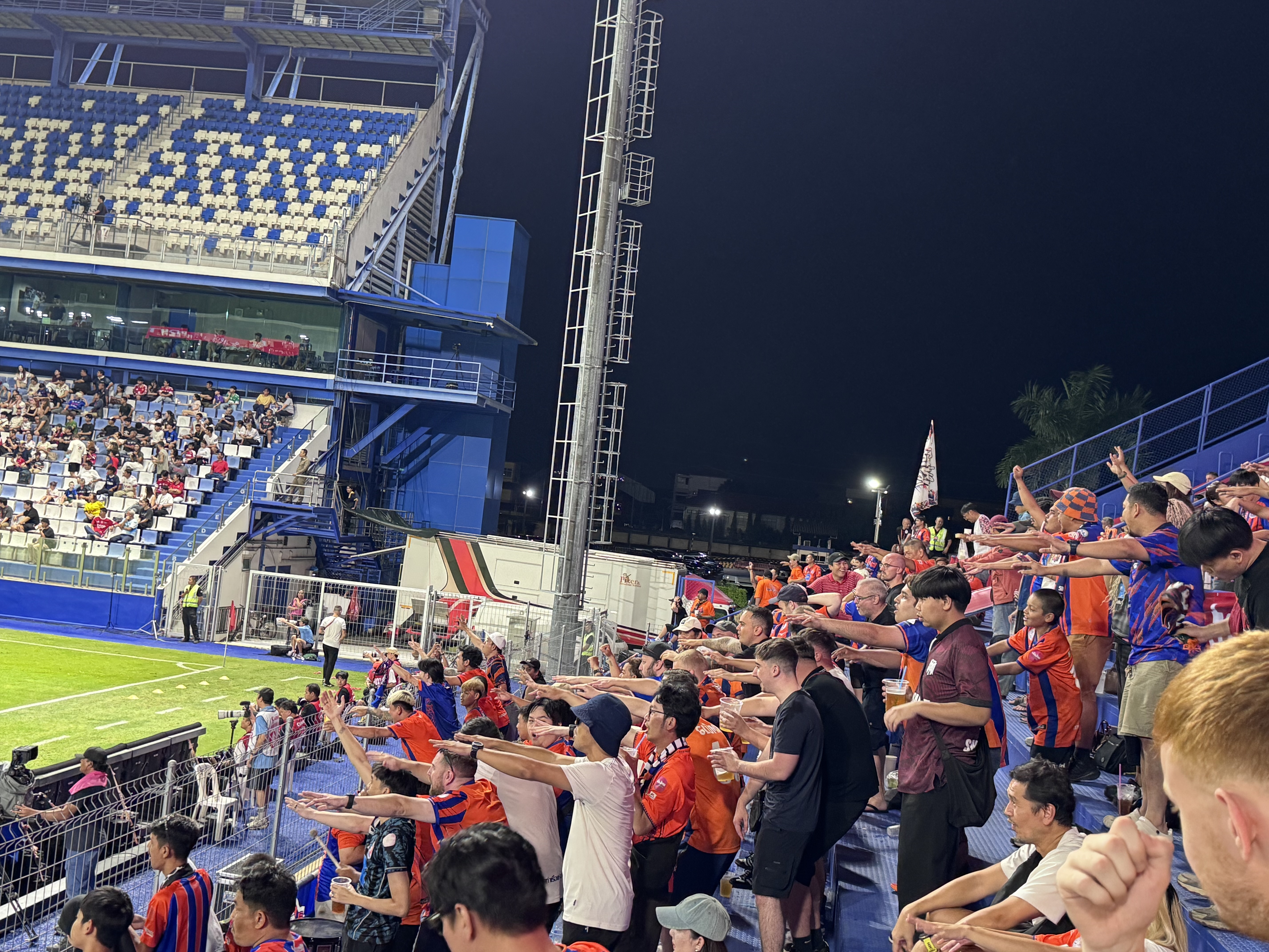
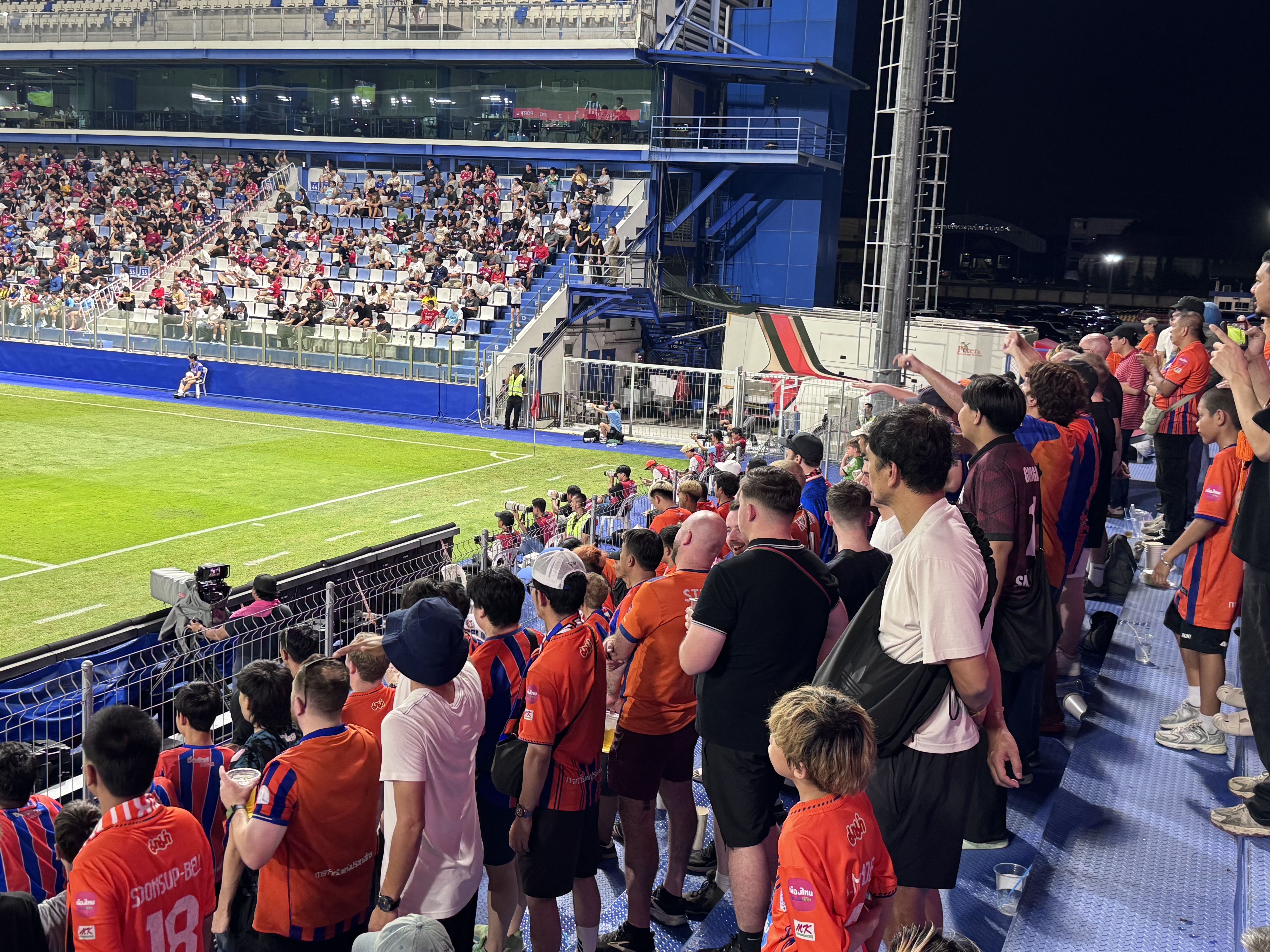
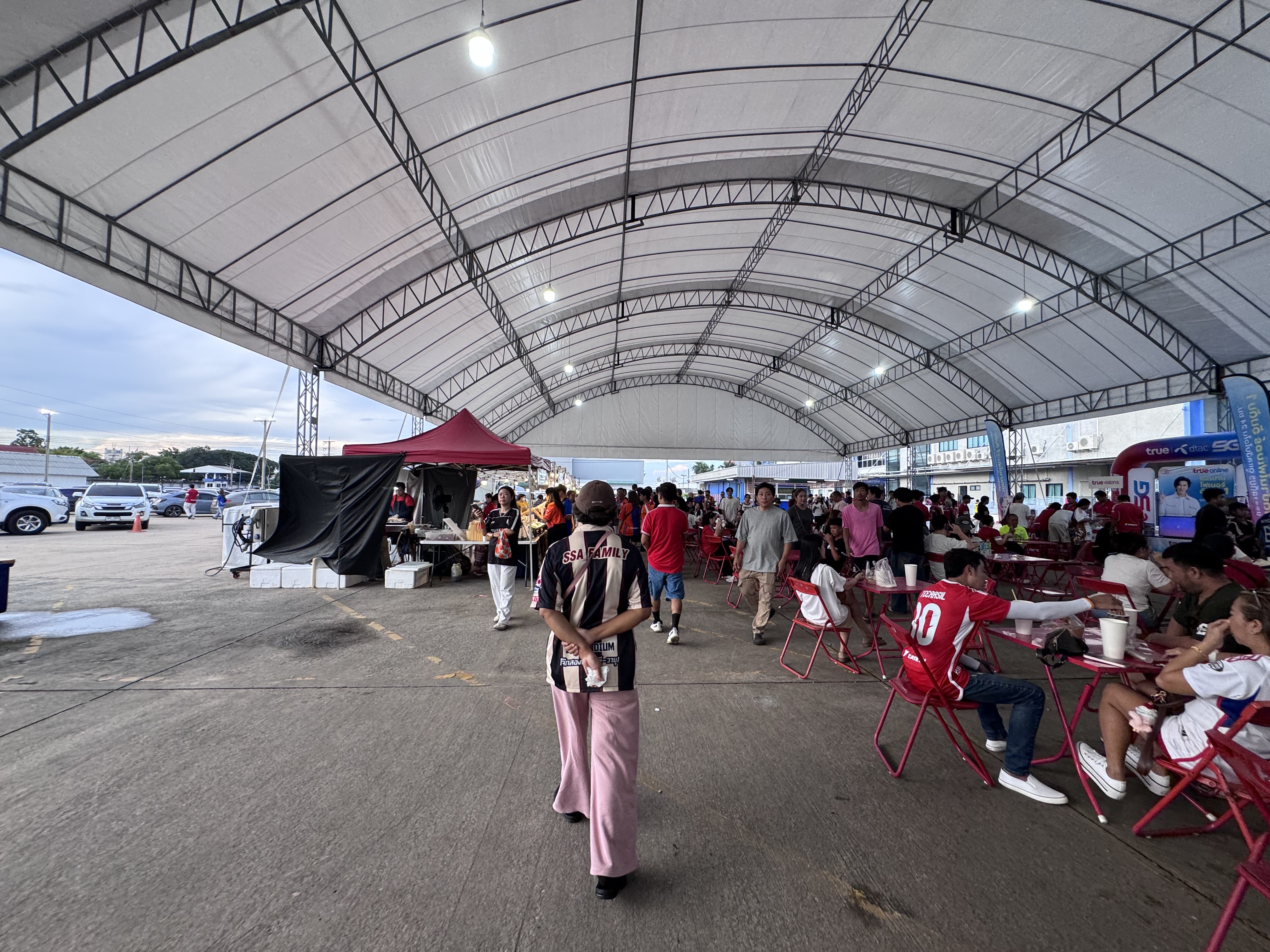
Port FC vs Bangkok United
Thai League 1 - Matchday 5 - 18 October 2026
BG Stadium
Port FC, one of Thailand’s oldest clubs, was founded in 1967 as the Port Authority of Thailand side. The Khlong Toei Lions enjoyed a golden era of multiple Kor Royal Cup and Queen’s Cup titles and have remained a consistent top-flight presence in the modern Thai League era, regularly challenging in the upper half of the table and appearing in Asian competitions.
Bangkok United began life in 1988 as Bangkok University FC before evolving into a professional outfit. The Bangkok Angels claimed the Thai League title in 2006, returned after a brief relegation, and have since established themselves as one of the league’s most consistent challengers, with multiple runner-up finishes and regular AFC involvement under True Corporation backing.
In the 2025–26 season the two sides met twice in the league. Port hosted Bangkok United on 9 November 2025 and the game finished 0–0. The return fixture on 15 March 2026 at Bangkok ...