

Ayutthaya Forts and Gates
The city walls of Ayutthaya, a significant historical capital of Siam, were a complex system of fortifications developed over centuries. The earliest walls were likely constructed in the 15th century, with significant rebuilding and expansion occurring under King Maha Thammaracha (reign 1569-1590), who ordered the construction of new brick walls to replace earlier wooden stockades, citing a threat from Cambodia.
These walls were extended to the riverbanks around 1580, and the city's full Sanskrit name, Maha Nagara Dvaravati, meaning "Great City with Gates," underscores the importance of its gate system. The walls were substantial, with the height from ground level to the parapet reaching 6 meters, and an internal raised earthwork for patrolling, 3 meters high and 5 meters wide, running inside the wall.
The city's defensive system included a network of moats, forts, and numerous gates. Historical documents from the late Ayutthaya period describe a total of 23 great gates with ...


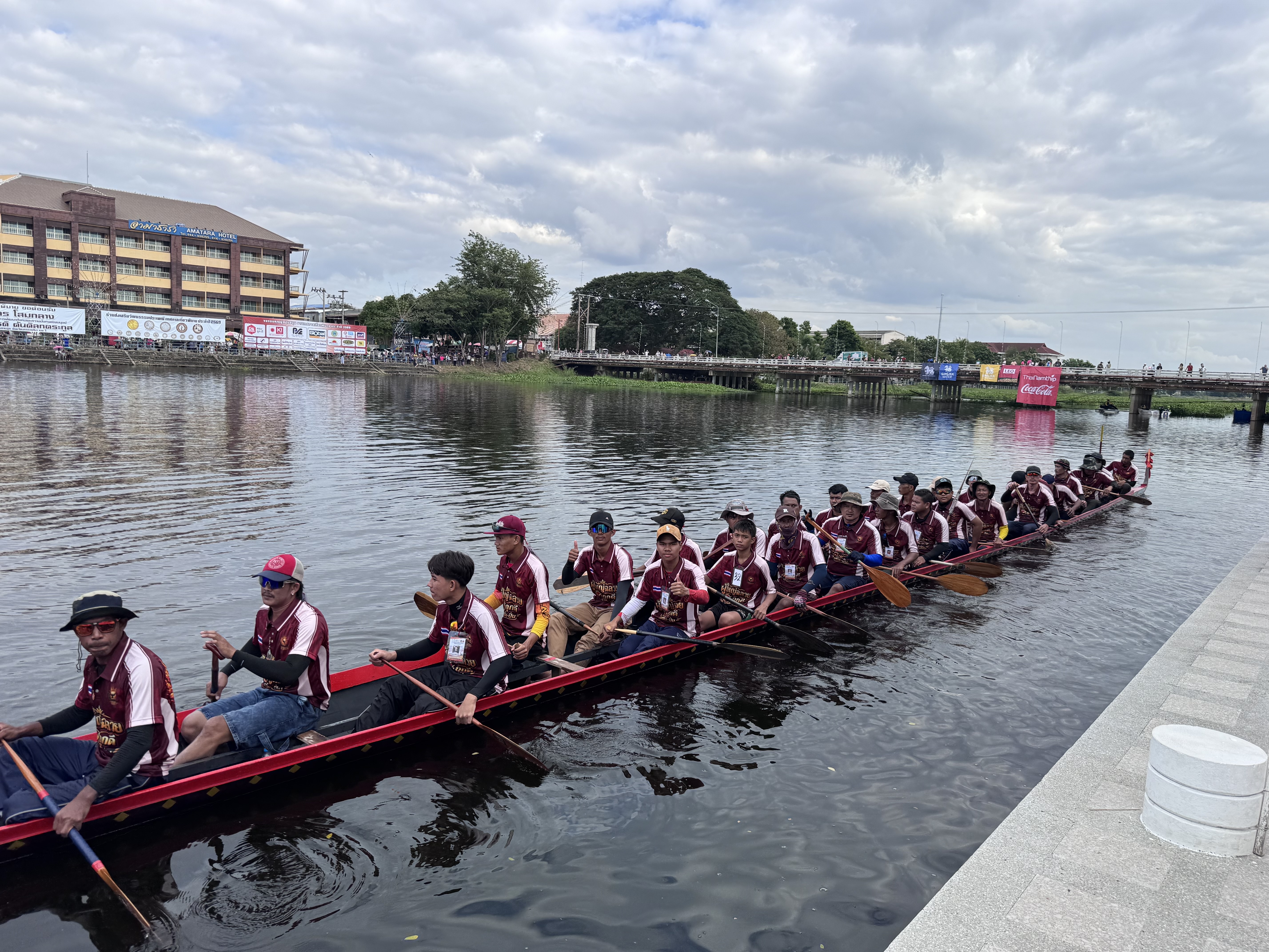
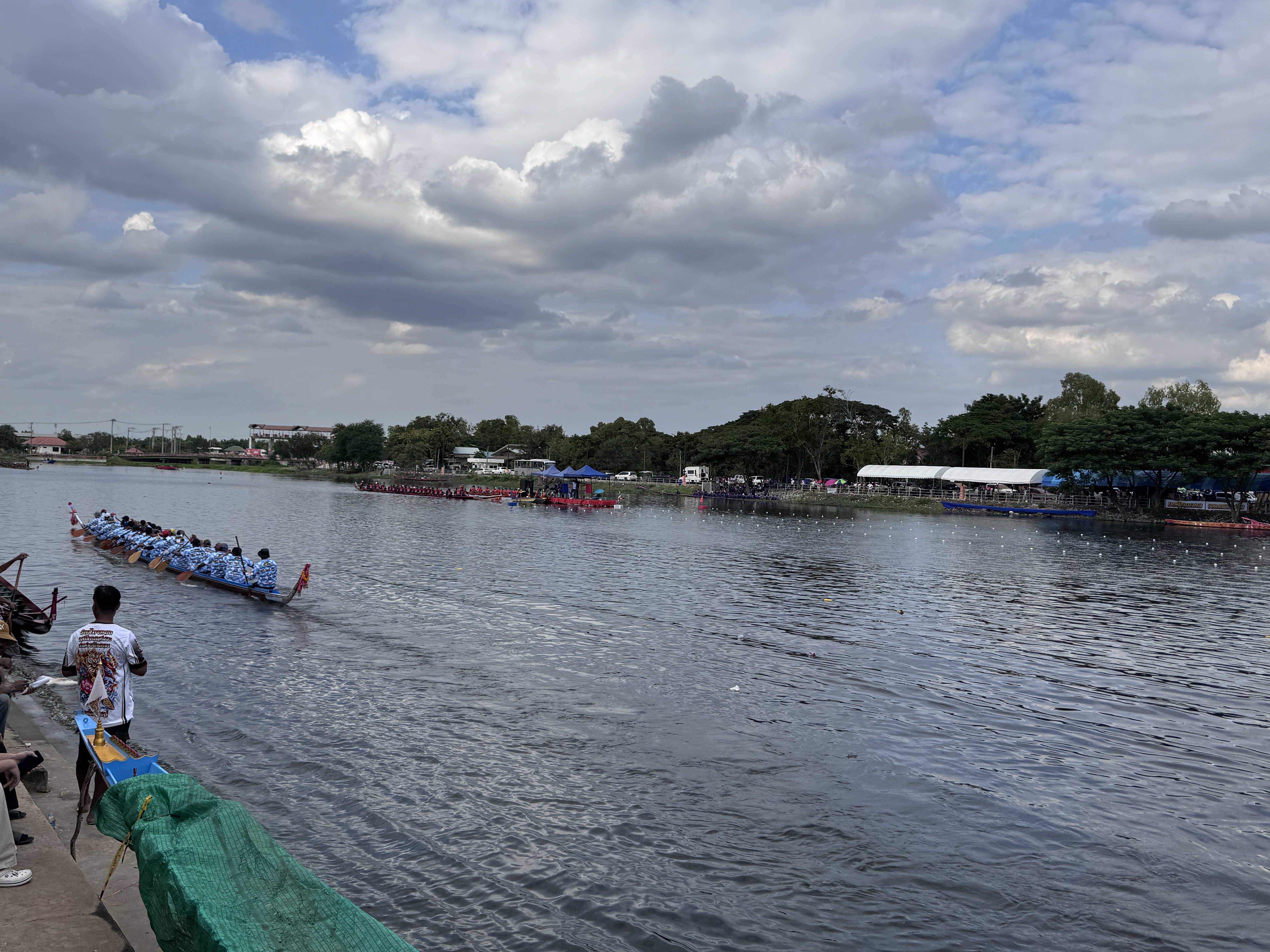
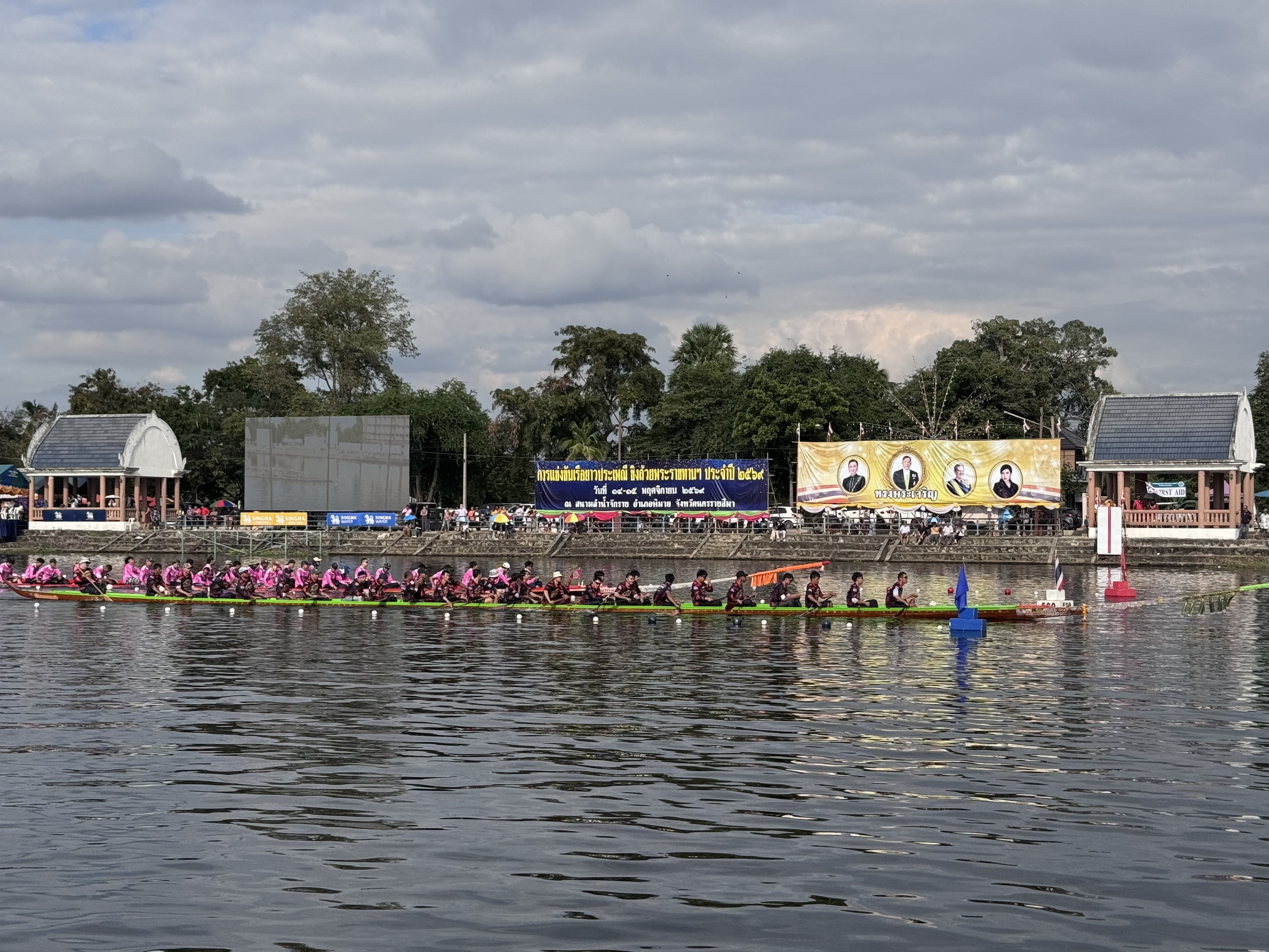
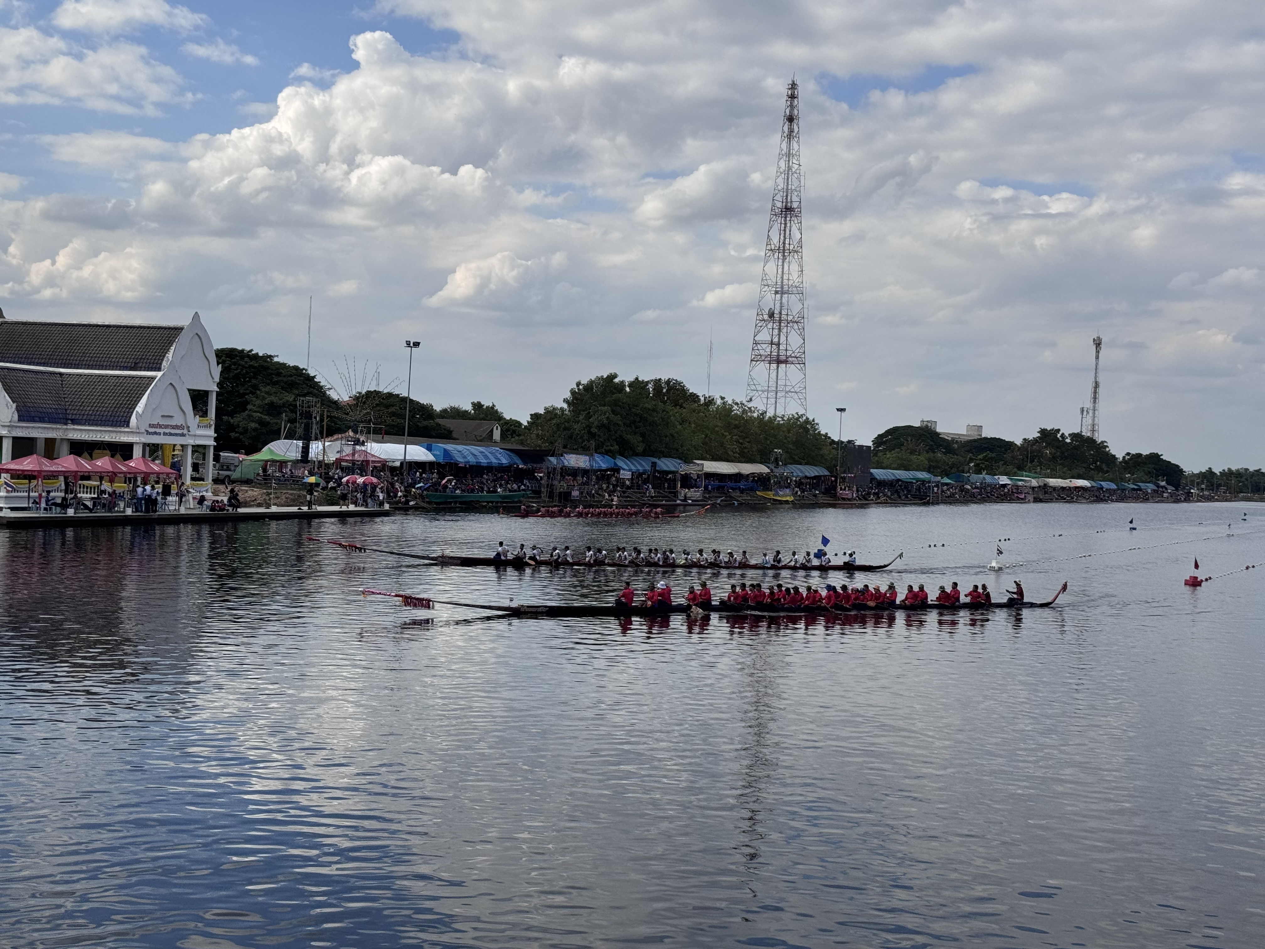
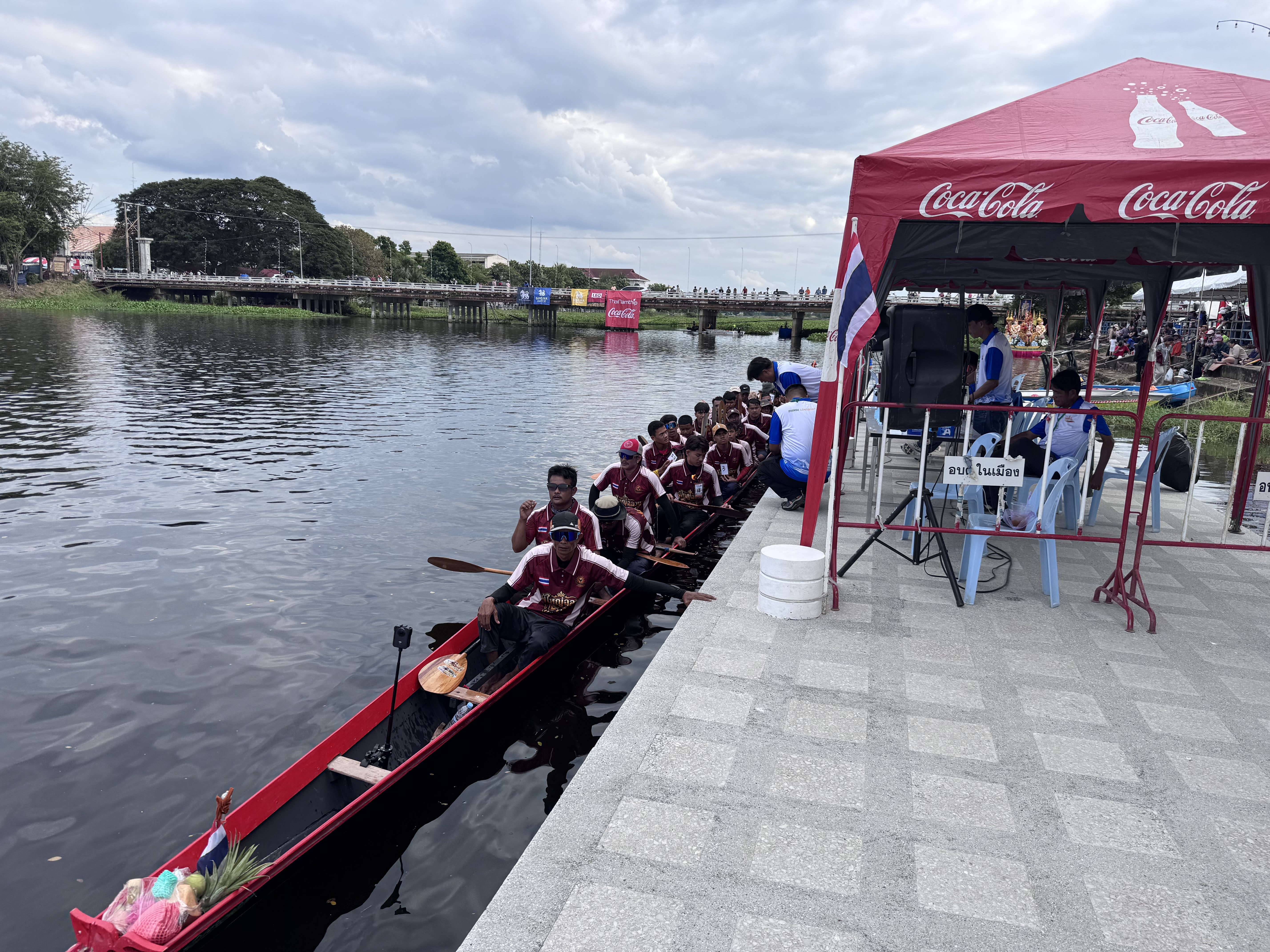
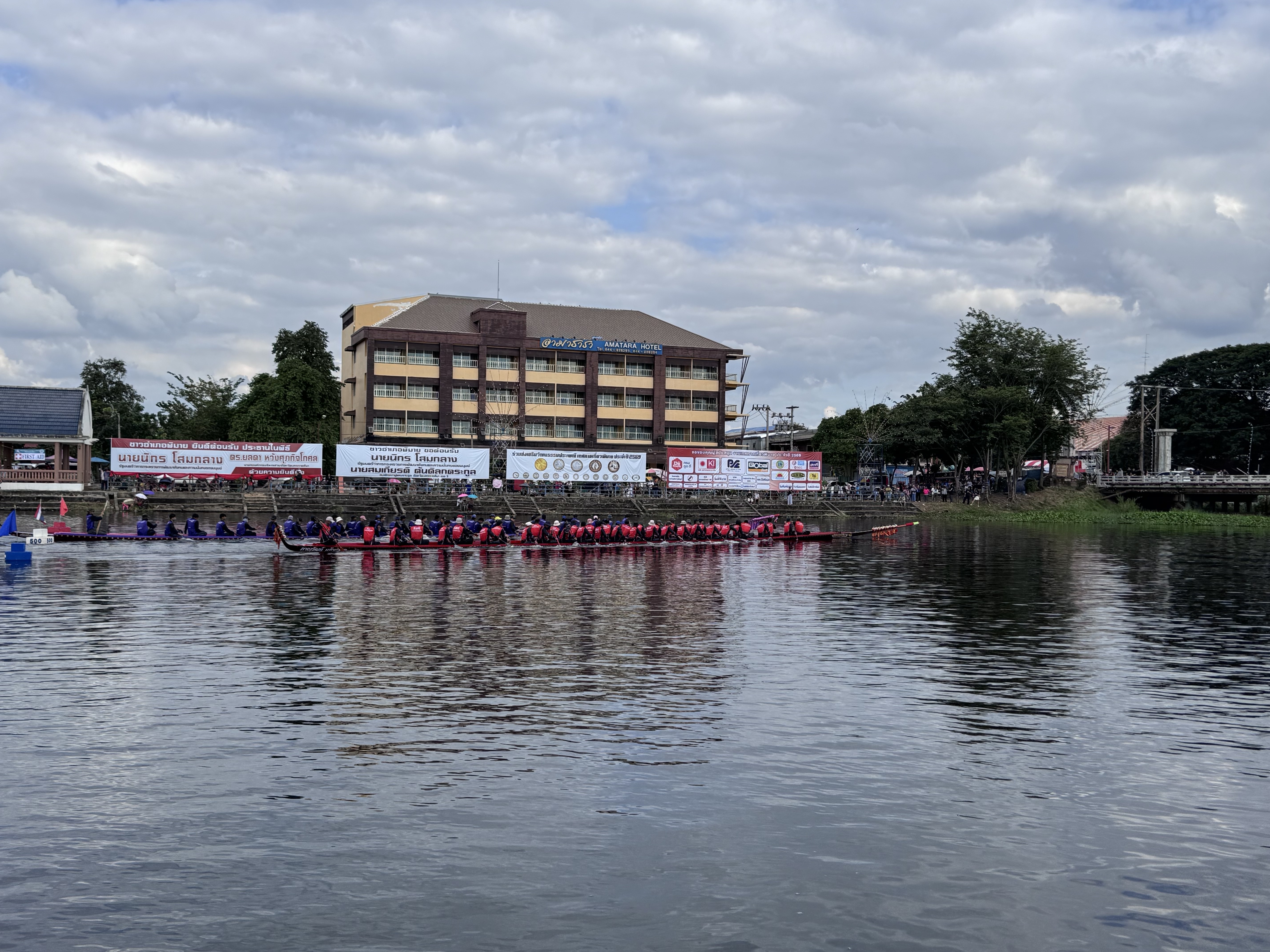
The tradition of long-boat racing in Thailand reaches back to the Ayutthaya era, when the kingdom’s rivers and canals formed the arteries of daily life, trade, and military power. Historical records from the period, including palace regulations for the eleventh lunar month, describe boat races as both a popular pastime among ordinary people and an element of royal ceremony. In those days the long, slender vessels, often carved from single massive tree trunks, were powered by ranks of oarsmen whose coordinated strokes could drive the boat at impressive speed.
Racing served practical purposes as well as entertainment. It kept warriors fit for river warfare, tested the skill of crews, and sometimes carried an element of divination linked to the annual flood cycle and hopes for a bountiful harvest. Royal processions themselves featured elaborately decorated long boats and competitive racing appears to have grown naturally from the rivalry that arose when communities travelled by water to make merit at ...
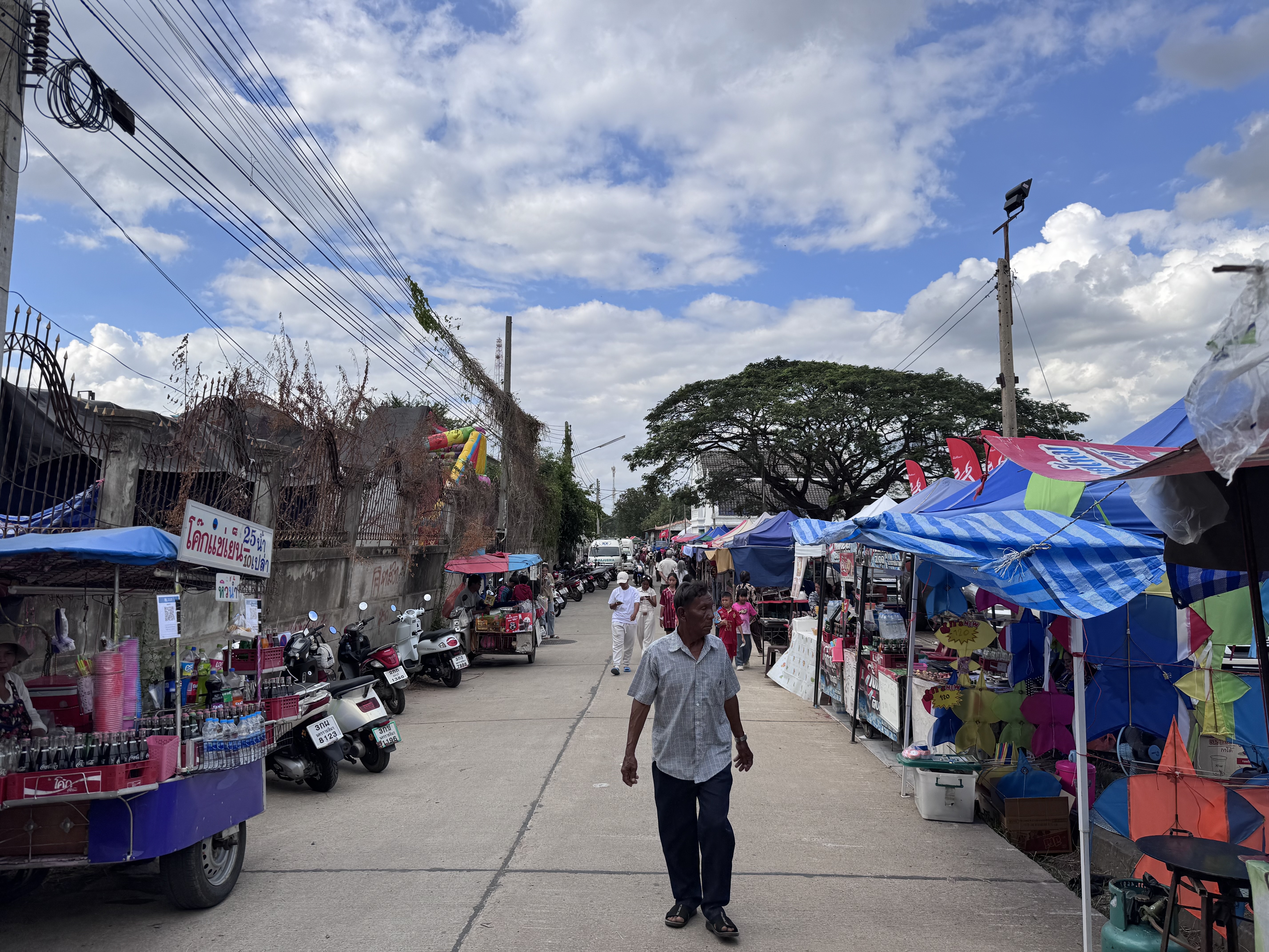
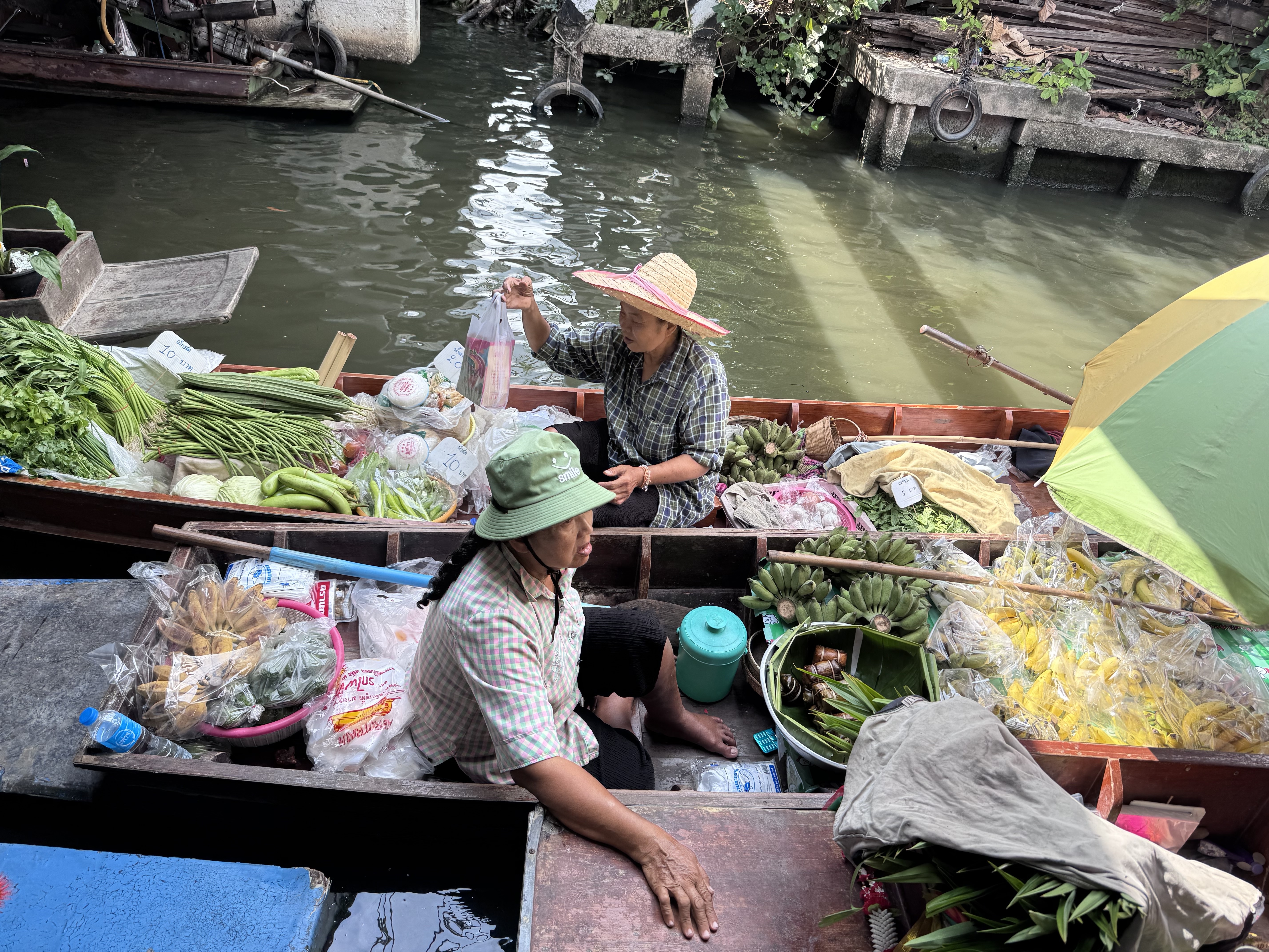
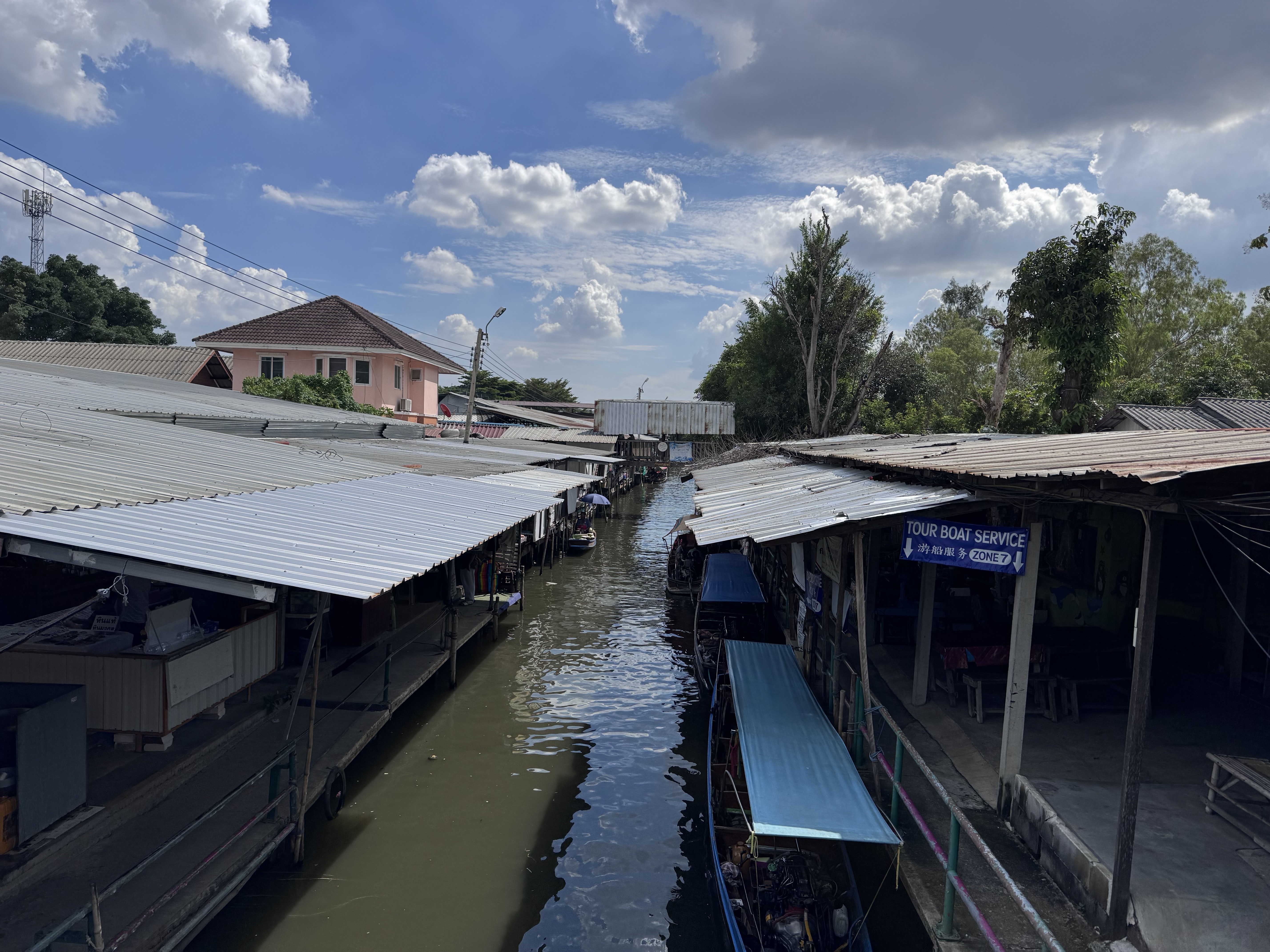
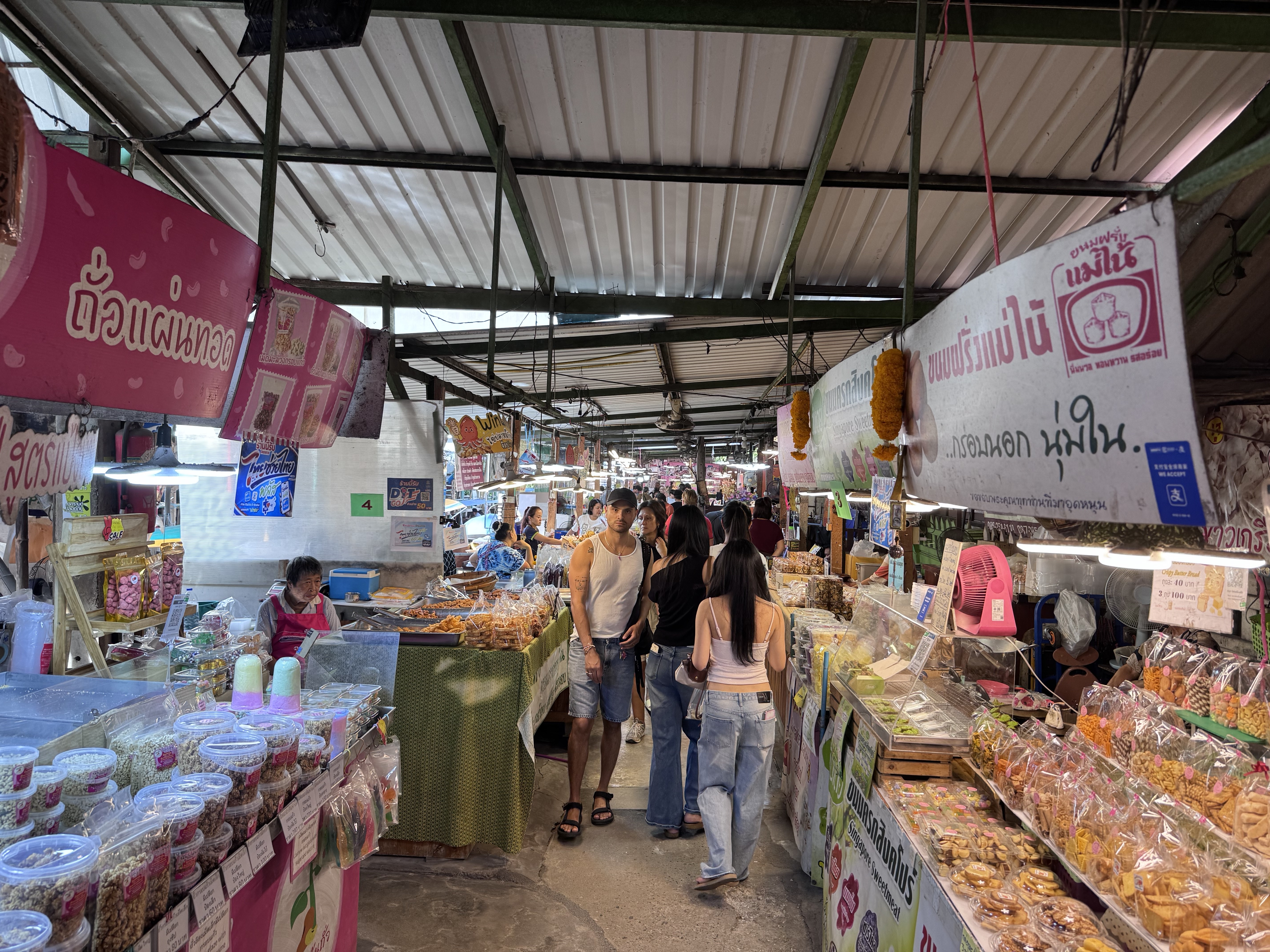
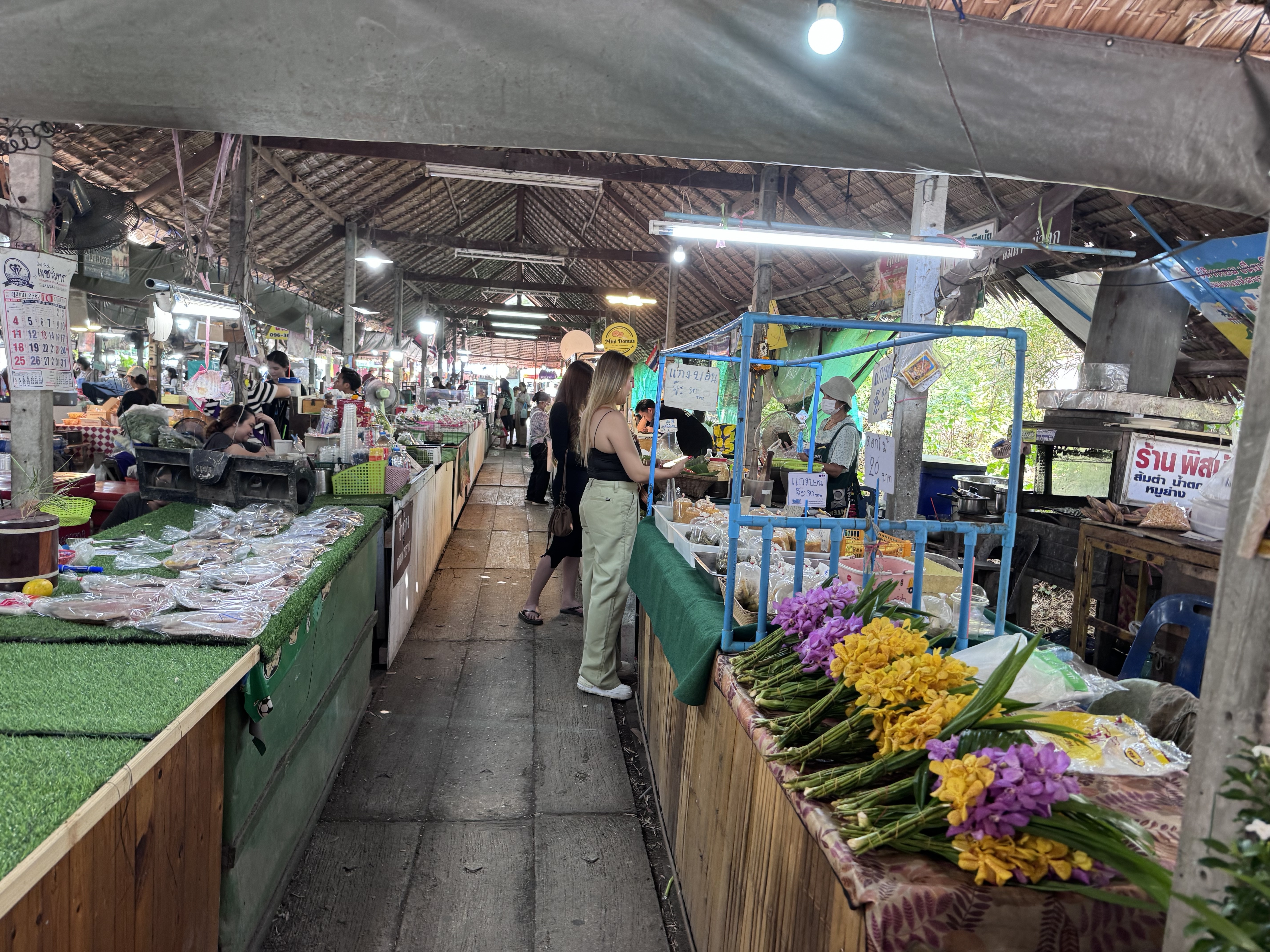
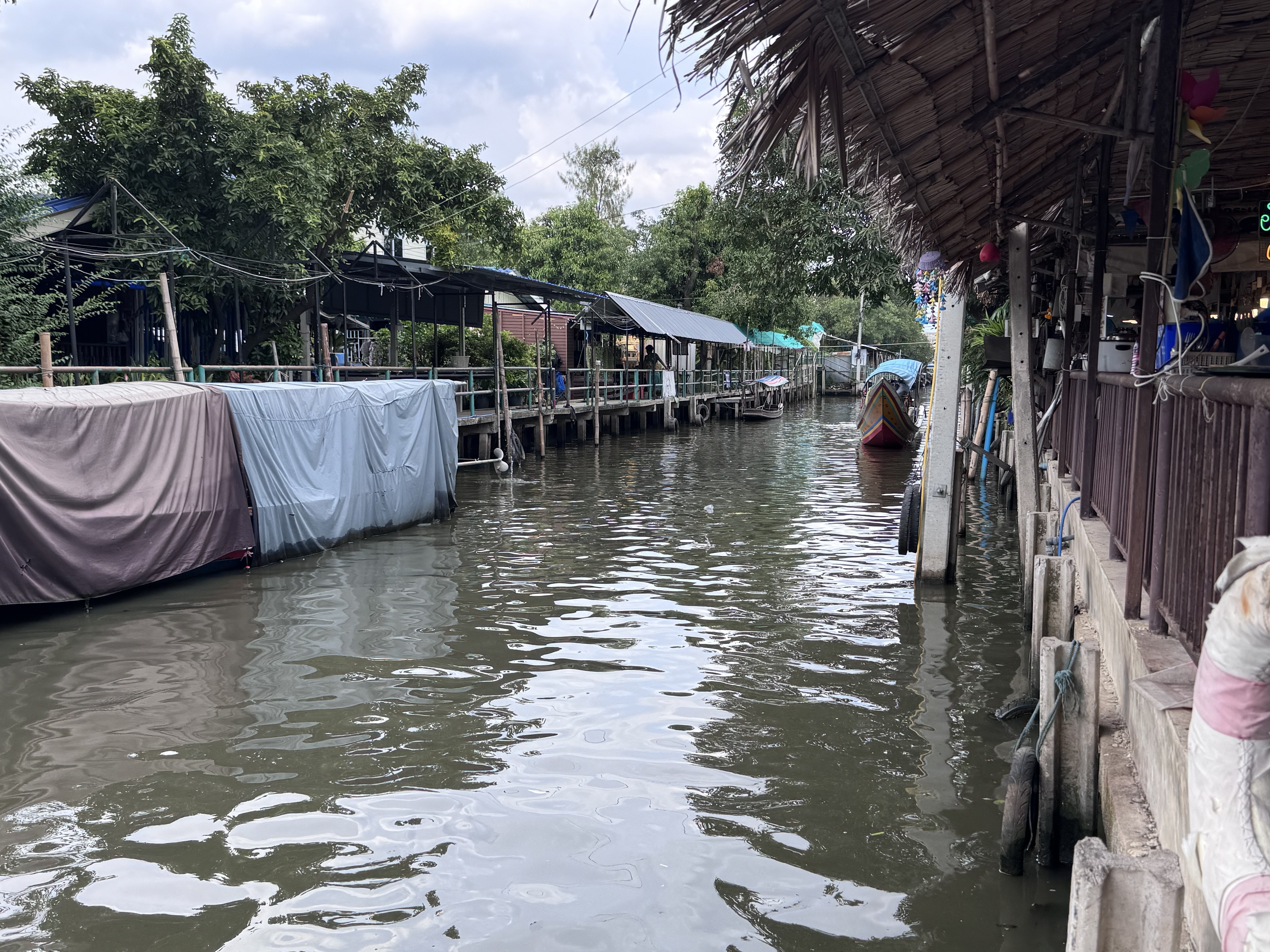
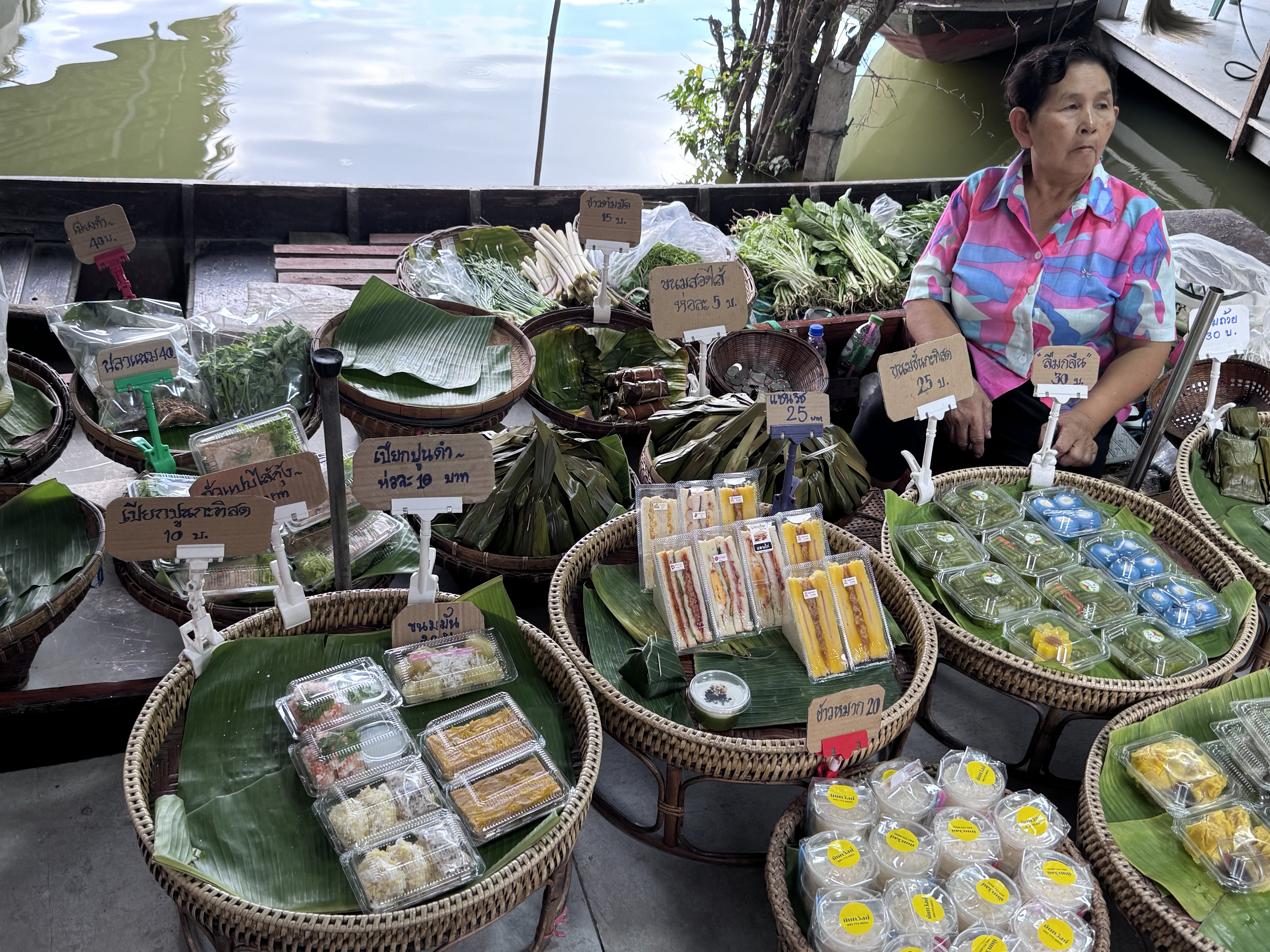
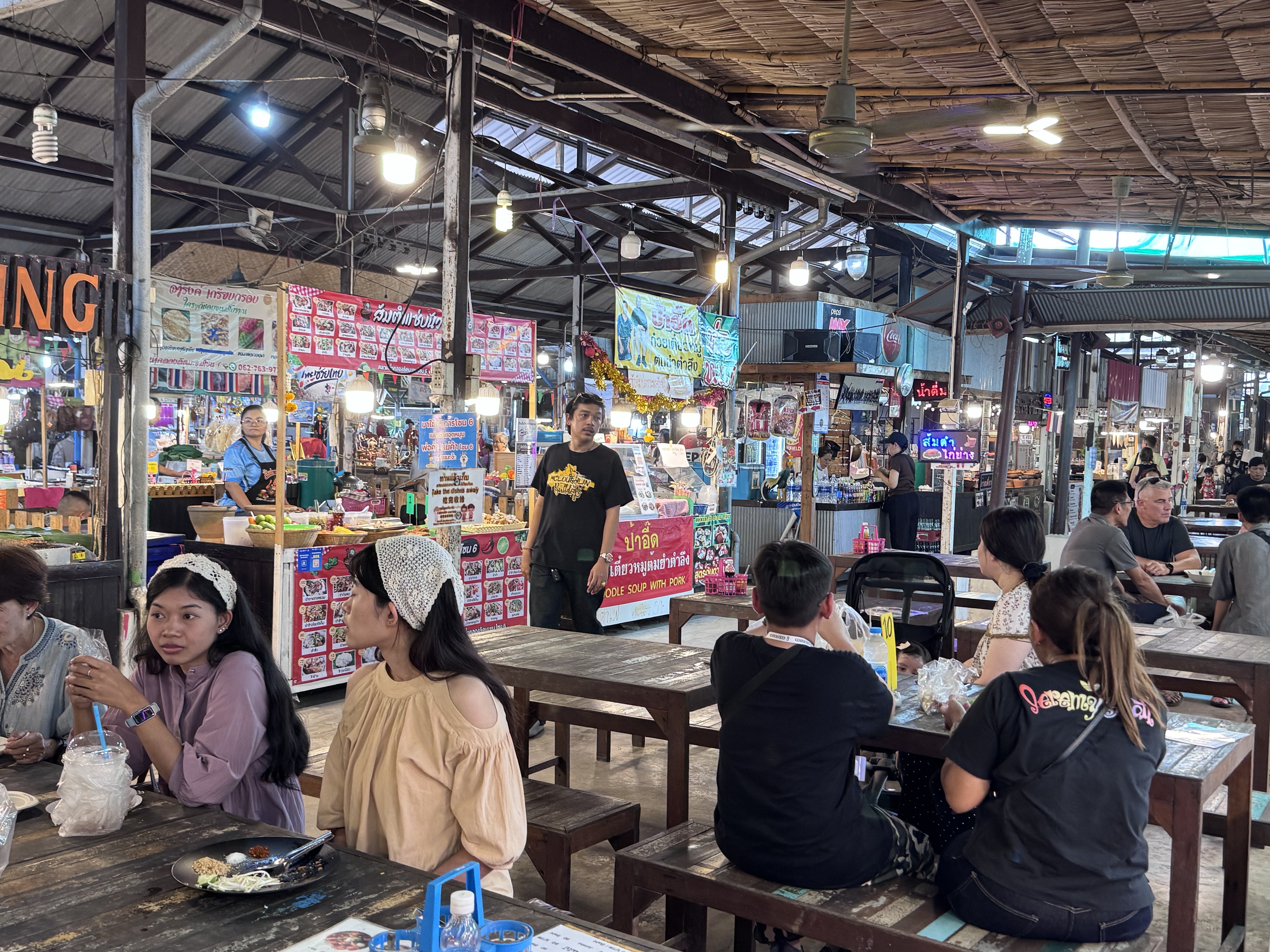
Khlong Lat Mayom Floating Market sits along a quiet canal in Taling Chan on Bangkok’s Thonburi side, roughly half an hour from the city center. Its name comes from the khlong, or canal, and the mayom fruit, the star gooseberry that once grew abundantly in the surrounding orchards. Unlike the heavily photographed tourist markets farther out, this one feels more like a neighborhood gathering place where Thai families come on weekends to eat, shop for produce, and take short boat rides through the green waterways.
The area’s history reaches back to the Ayutthaya period, when the fertile alluvial soils and dense network of rivers made Taling Chan ideal for fruit plantations. Canals such as Khlong Bang Ramat, Khlong Bang Phrom, and others formed a watery web that supported daily life and trade for generations.
By the mid-1990s rapid urbanization brought new roads, construction, and pollution. The once-clean canal filled with garbage, agricultural land lost value relative to housing development, and many ...
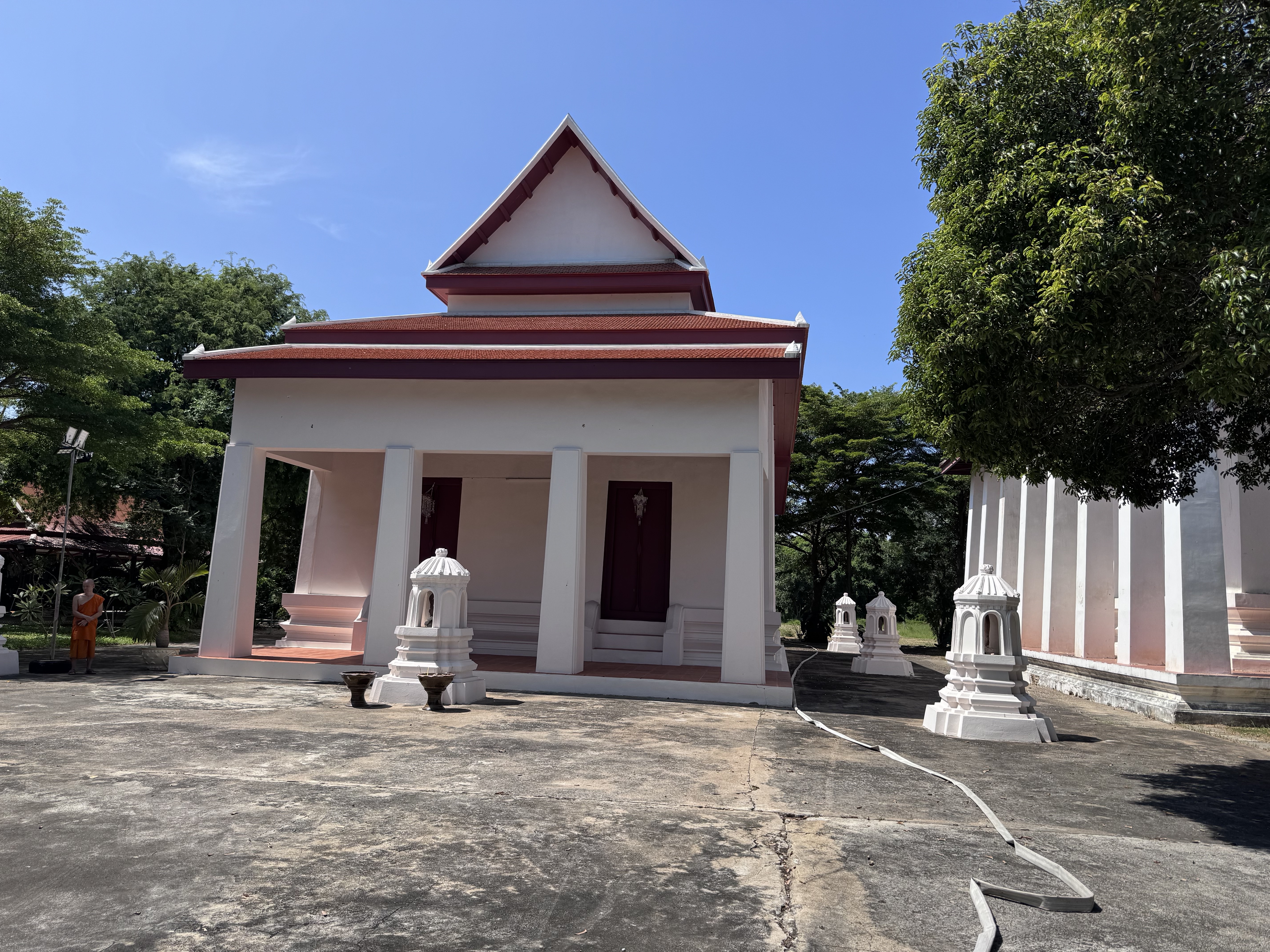
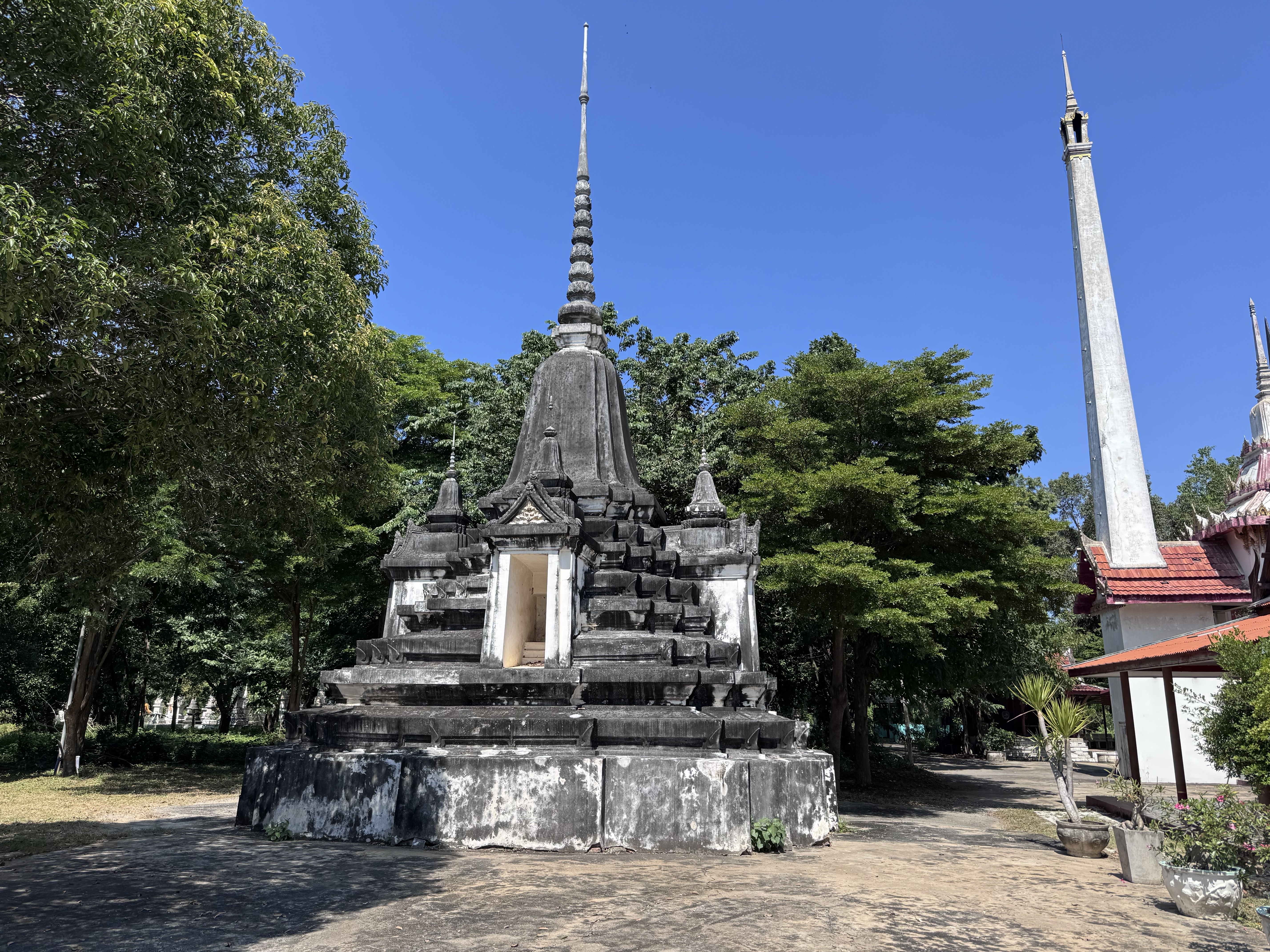
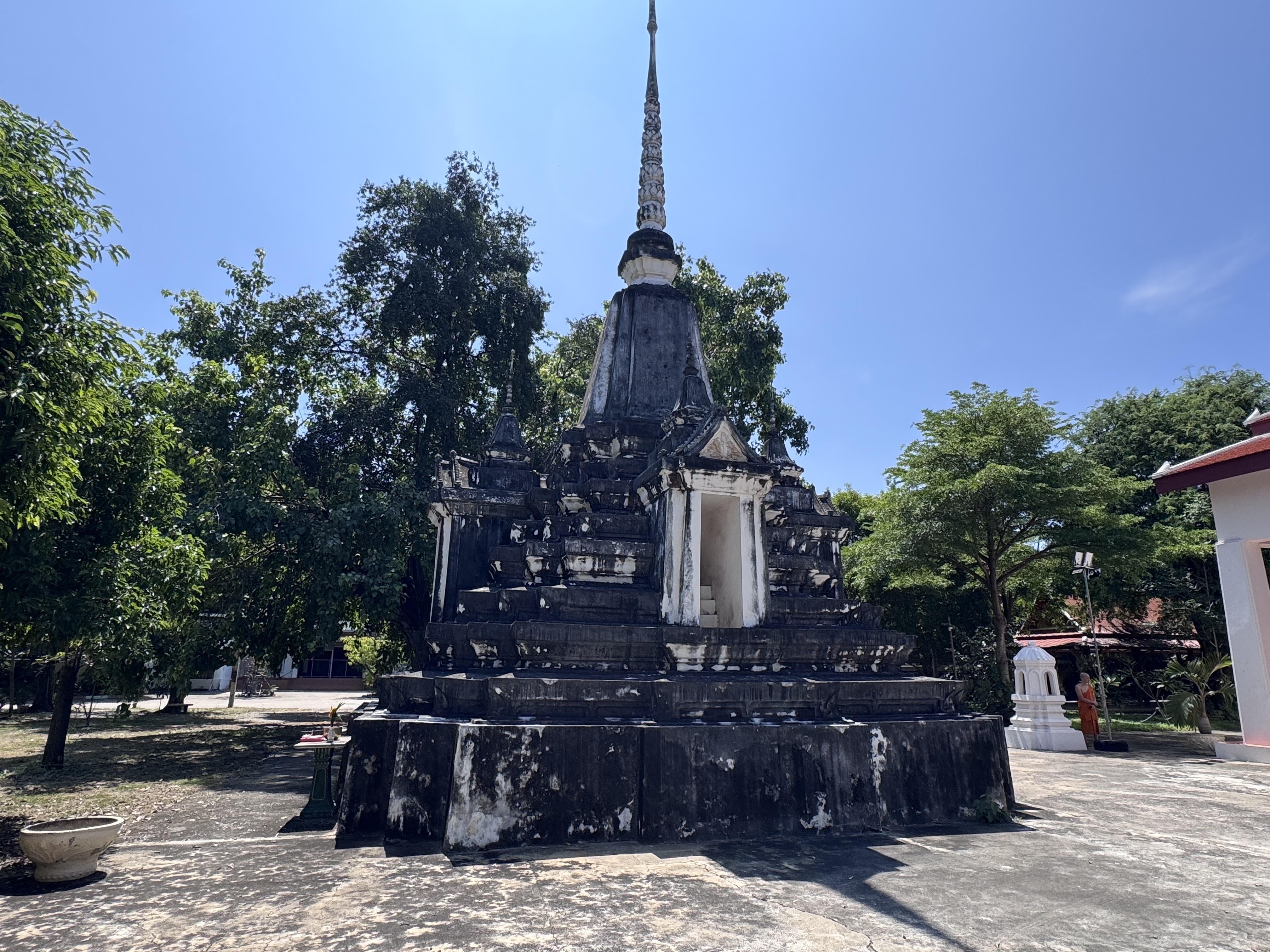
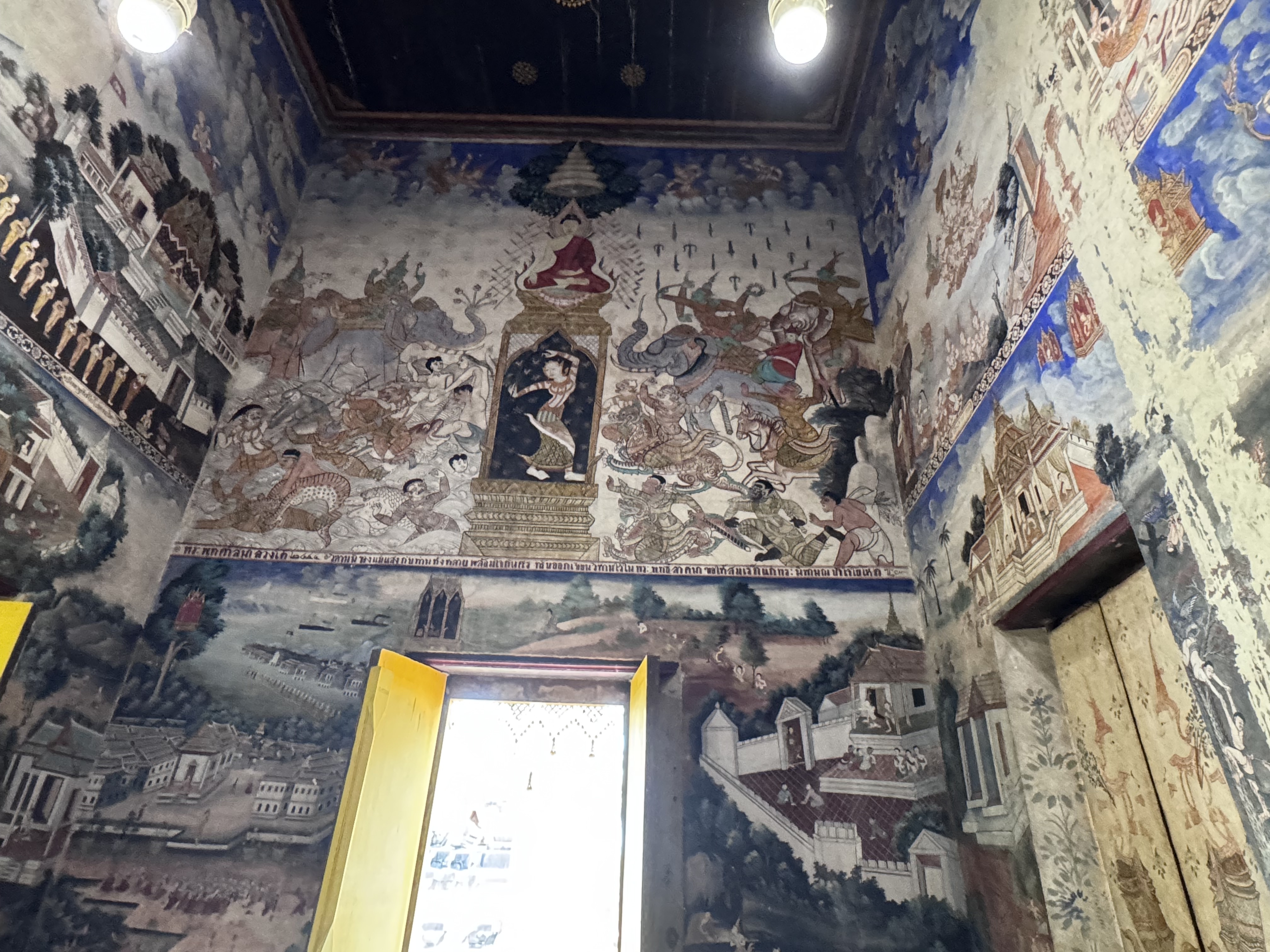
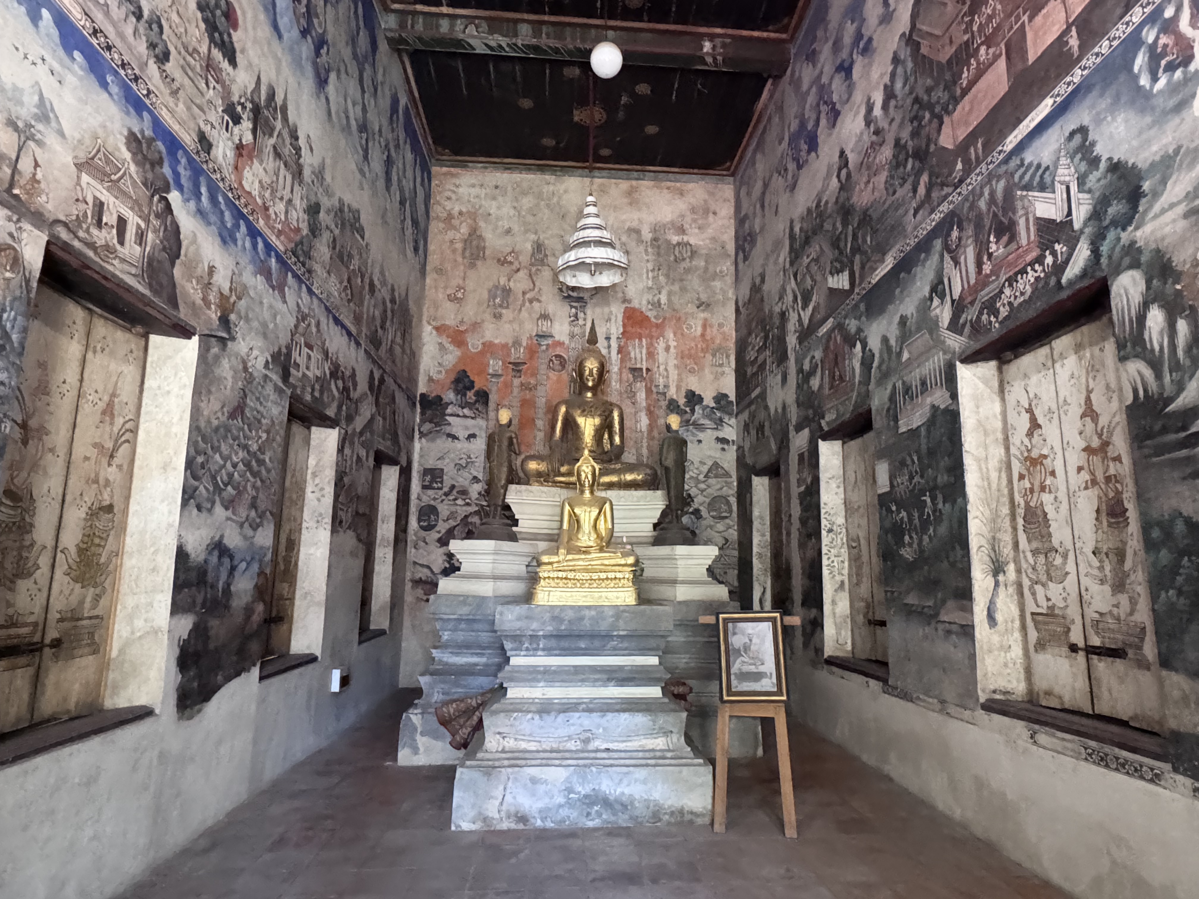
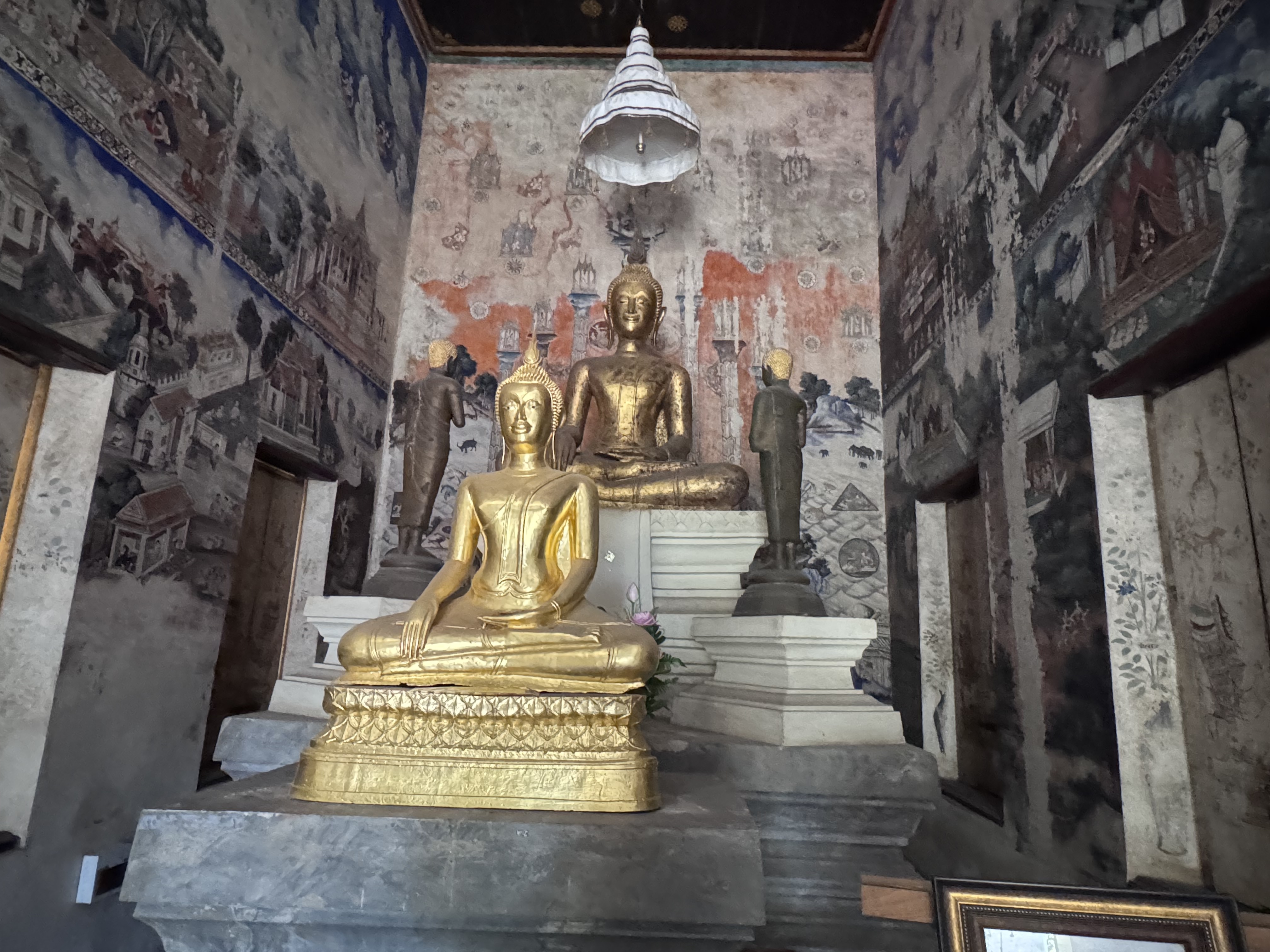
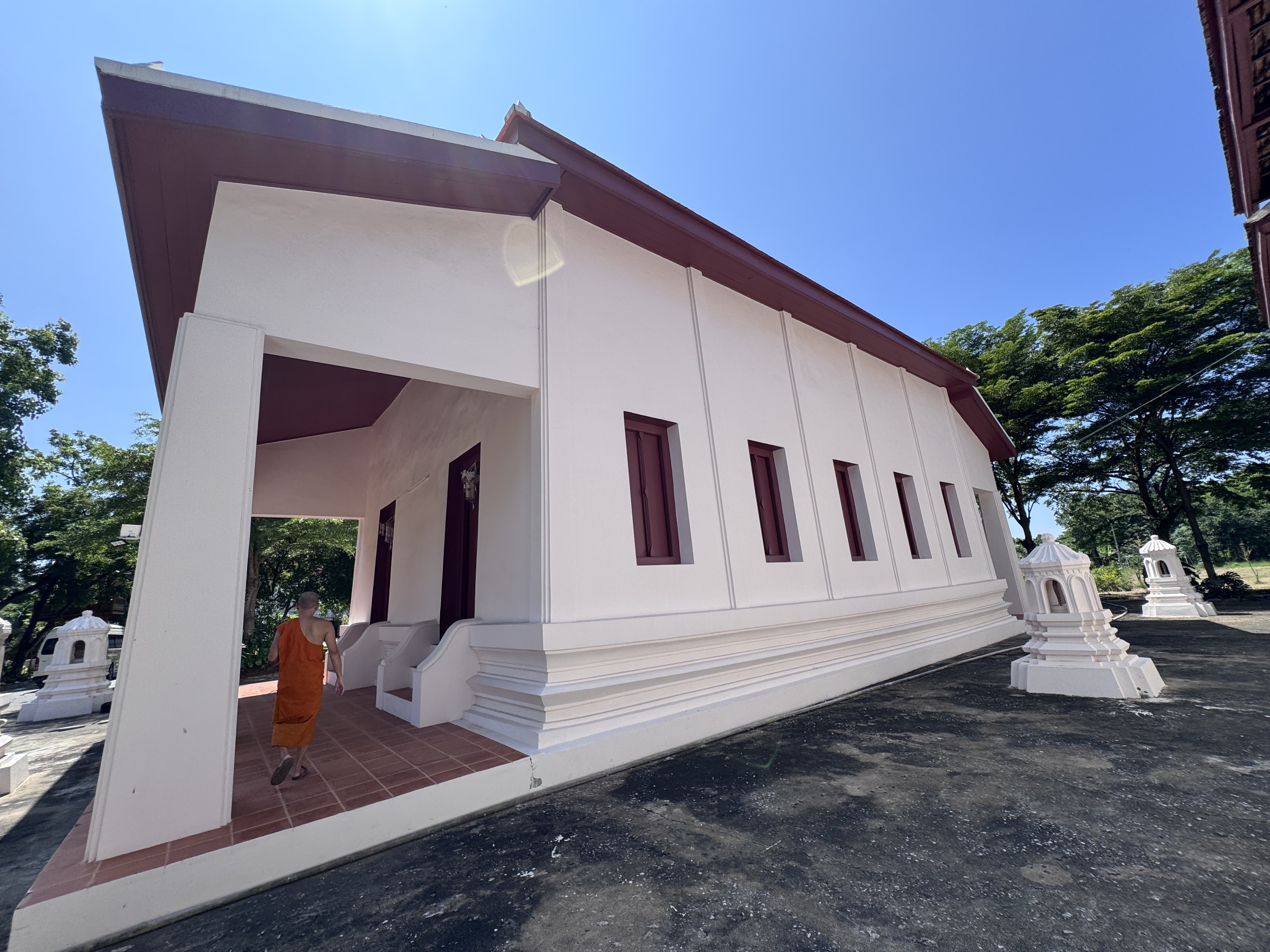
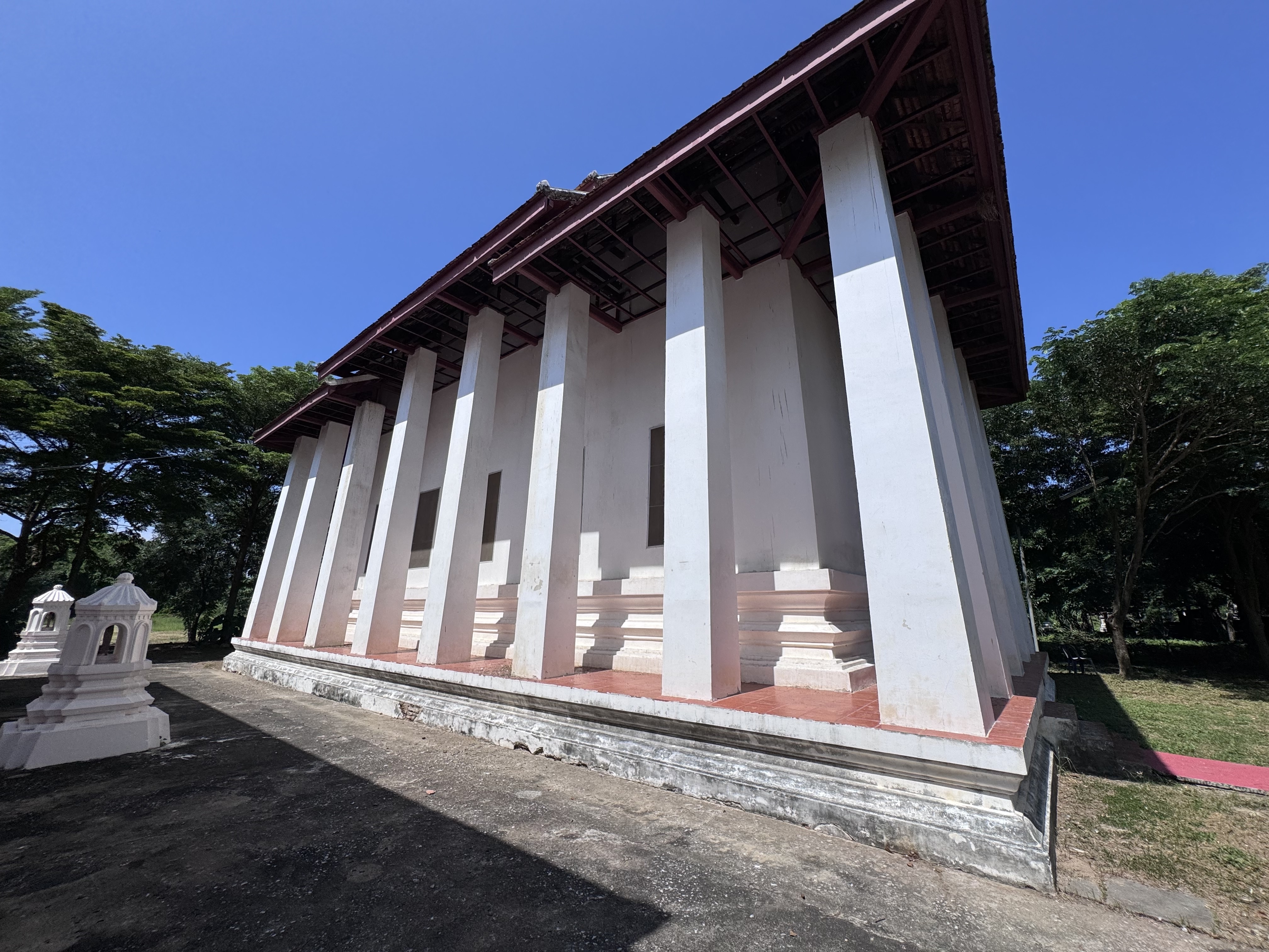
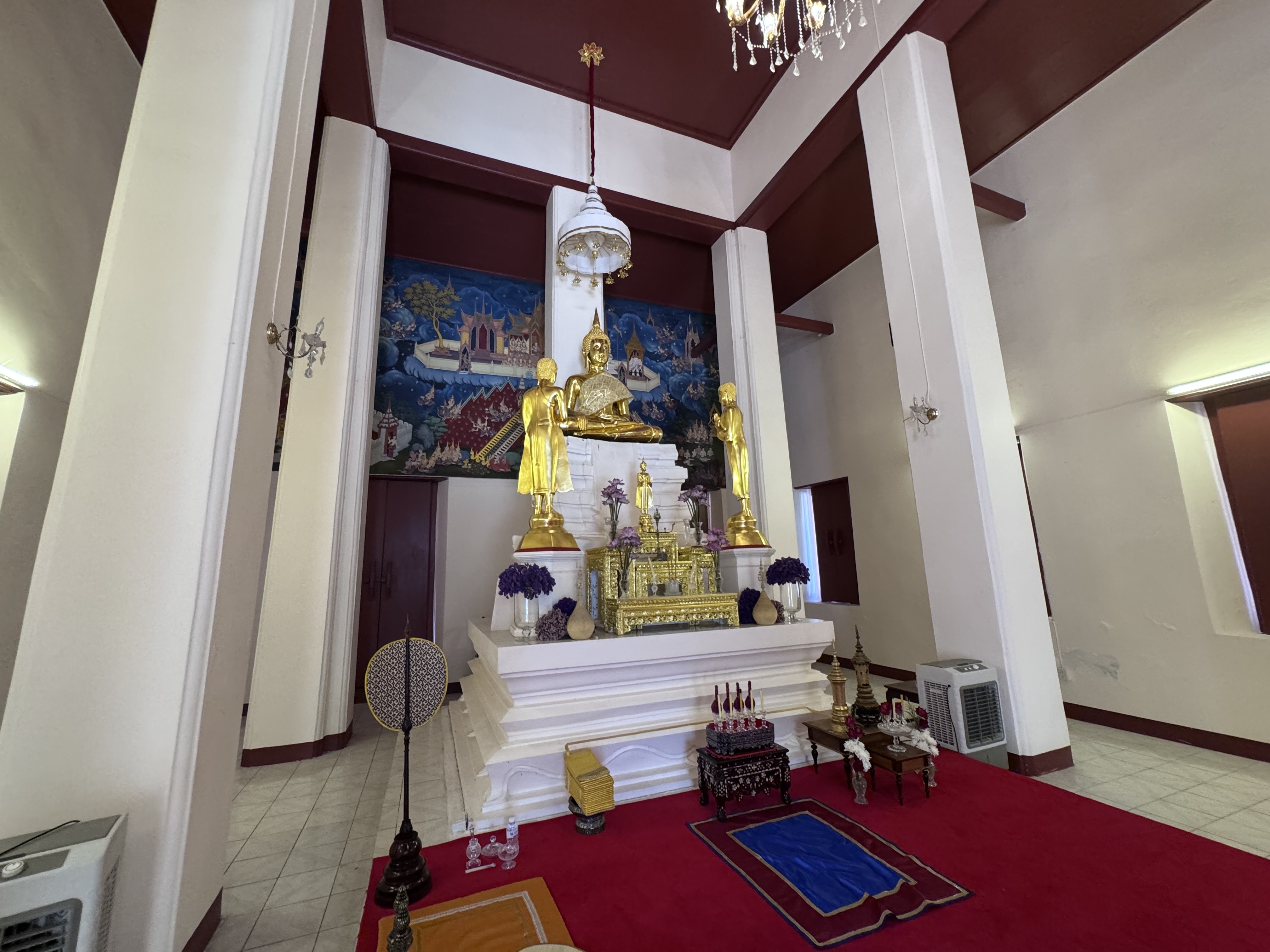
Wat Muang, the Purple Monastery, stands as an active community temple north of the old city island. Its name derives from the earlier village of Ban Muang that occupied the same ground, a common pattern in Thai rural naming where the local monastery takes its identity from the settlement it serves.
The temple sits on land that once lay on the right bank of a meandering stretch of the old Lopburi River. In earlier centuries that waterway curved past the site and continued toward Hua Ro; later road construction severed and silted the channel, though remnants of the former course and the short surviving canal known as Khlong Ban Muang can still be traced in the landscape.
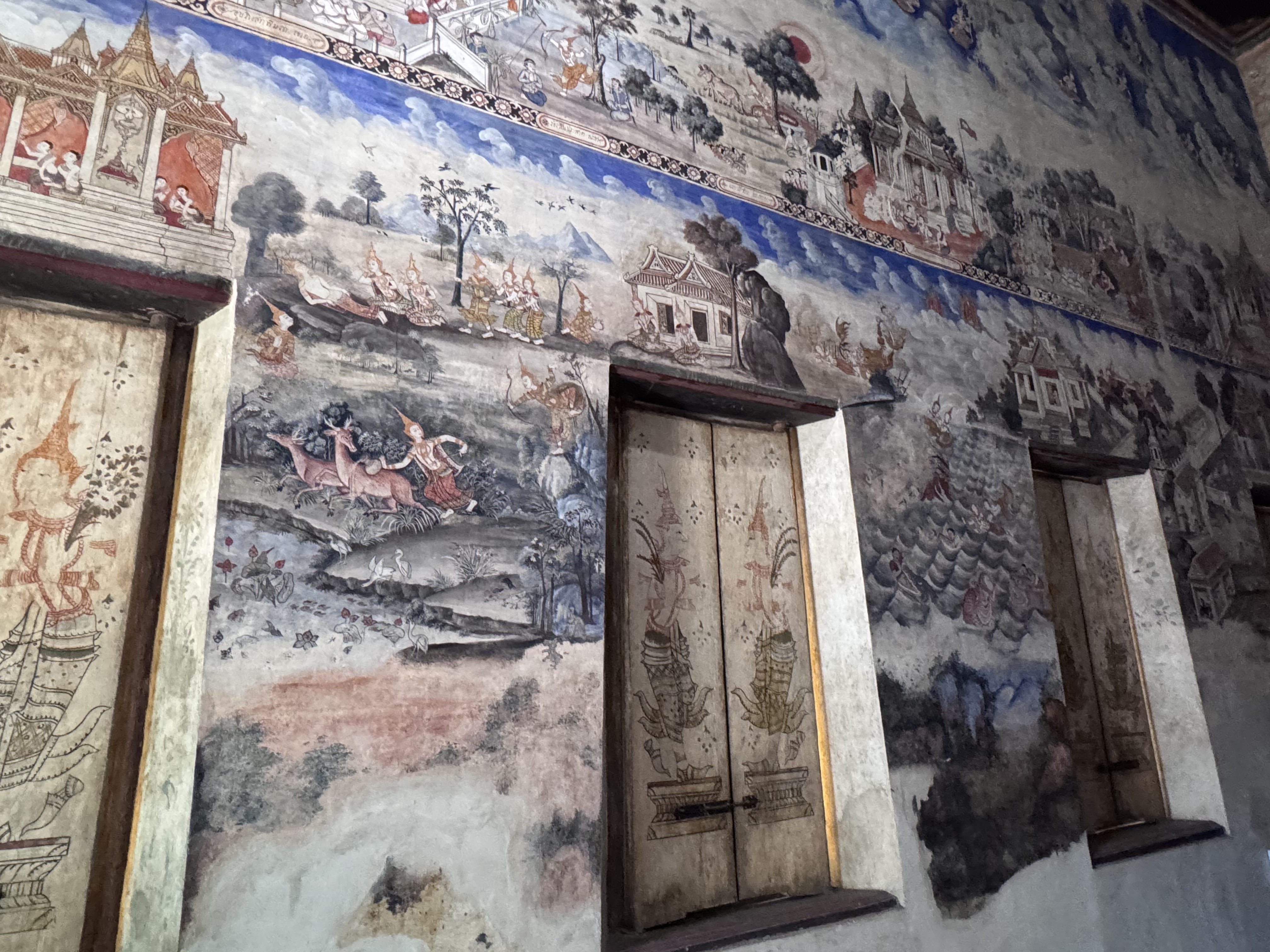
Historical records of the temple’s foundation are sparse and rest largely on oral tradition rather than contemporary documents. The most widely accepted account places its establishment in the early Rattanakosin period, around 1812, with the formal granting of boundary stones two years later in 1814. The ordination hall itself is ...